Gerlitzen
E to S facing thermal site · 1,878 m takeoff · 1,376 m height gain
Overview
Gerlitzen is a mountain site in the Austrian Alps with a recorded launch elevation of 1,878 m. It works best in easterly, south-easterly and southerly winds, and can also work in south-westerly winds. Pilots fly it for thermal, using foot launch.
- can be extremely busy, especially on weekends/ during holidays! a perfect place for acro training and SIV Source: ParaglidingEarth
When to go
Flyable days per month in a typical year.
Flyable days for Gerlitzen are on the way. We are scoring ten years of weather for every site, month by month, against this site, its region and the sites around it.
Local weather notes
- West wind generally means that the weather is about to change (> flying is NOT recommended!) check webcam and sensor there: http://gerlitzen.it-wms.com/index.php Source: ParaglidingEarth
Getting there
Nearest airports
- KLU Klagenfurt Airport33 km
- LJU Ljubljana Jože Pučnik Airport67 km
- TRS Trieste Airport102 km
Where to stay
The nearest towns, for a bed, food and a lift to takeoff.
- Villach10 km awayBooking.comAirbnb
- Velden13 km awayBooking.comAirbnb
- Feldkirchen14 km awayBooking.comAirbnb
Things to do
For the days the wind is wrong: places worth a visit within 10 km of Gerlitzen.
 Lake OssiachOutdoors · 4.9 km awayLake in Carinthia, Austria
 Ossiach AbbeyCulture · 5.5 km awayFormer Benedictine monastery in Ossiach
 Burgruine TreffenCulture · 5.5 km awayCastle ruin in Austria
 Landskron Castle (Carinthia)Culture · 5.7 km awayMedieval hill castle in Austria
 Aichelberg CastleCulture · 6.4 km awayCastle ruin in Austria
 Vassacher SeeOutdoors · 7.7 km awayLake in Villach, Austria
 Burgruine HohenwartCulture · 8.7 km awayCastle ruins in Austria
 Silbersee (Carinthia)Outdoors · 9.3 km awayLake in Carinthia, Austria
Flying nearby
See them on the map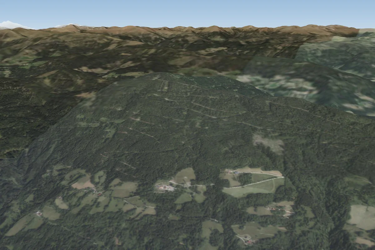 Golk6 km E · Faces SE–S
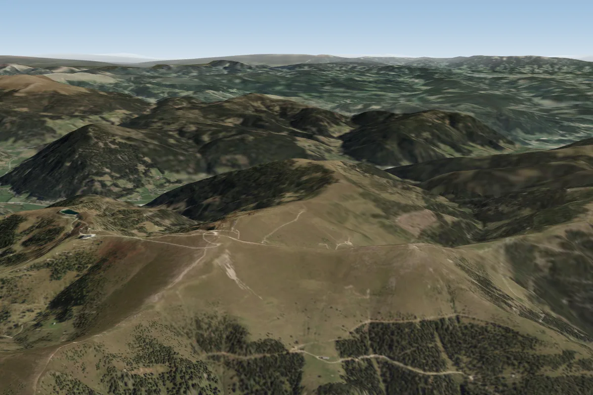 Wöllaner Nock11 km NW · Faces E–NWWorks in other winds
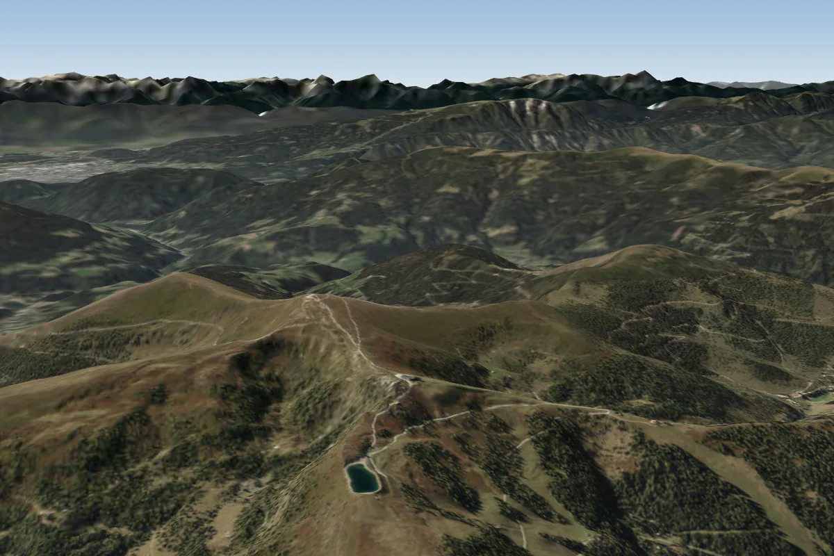 Kaiserburg12 km NW · Faces W–NWorks in other winds
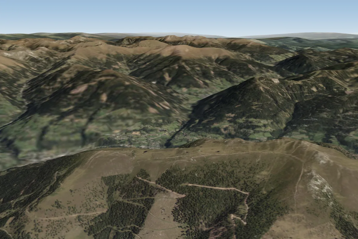 Mirnock18 km NW
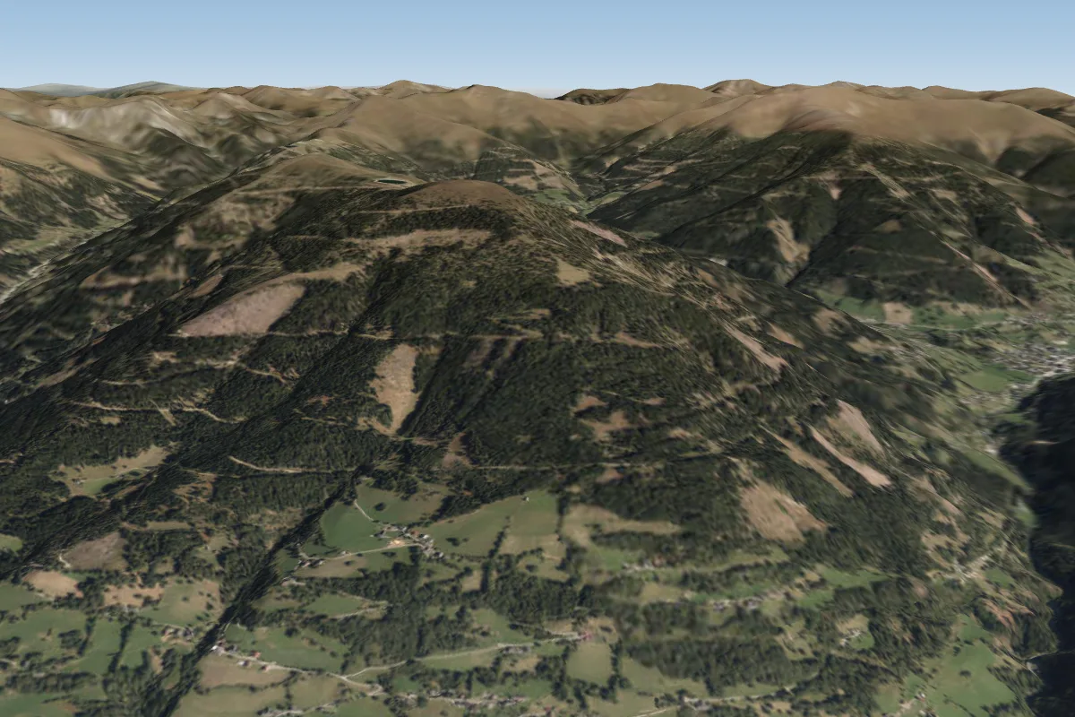 Hohensass19 km NW · Faces SE–WWorks in other winds
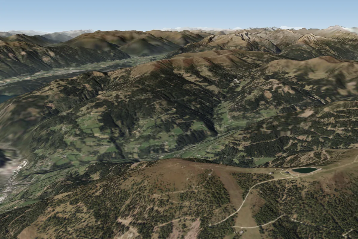 Pridröf19 km NW · Faces E–SW
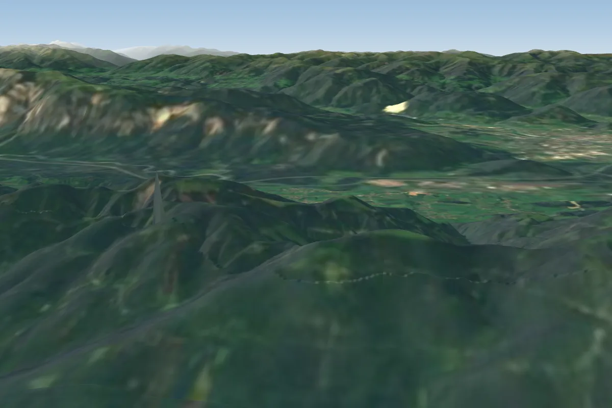 Kranjska Gora23 km SW · Faces S
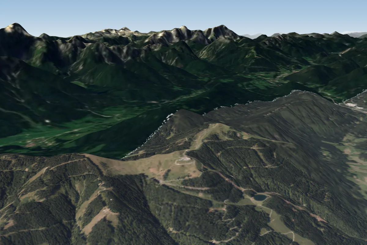 Dreiländereck23 km SW · Faces NW–NEWorks in other winds
Pilot notes
No notes yet. Flown Gerlitzen? Tell the next pilot what to expect.
Pilot notes on Gerlitzen
Flying Gerlitzen?
Takeoff, landing, rules, the hour by hour forecast and live wind are in the site details on the map.
Open site detailsSources
- ParaglidingEarth site record © ParaglidingEarth contributors (CC BY-SA)