Jaga
S to W facing site · 1,019 m takeoff
Overview
Jaga is a flying site in the Austrian Alps with a recorded launch elevation of 1,019 m. It works best in southerly, south-westerly and westerly winds.
- imported from http://xc.dhv.de Source: ParaglidingEarth
When to go
Flyable days per month in a typical year.
Flyable days for Jaga are on the way. We are scoring ten years of weather for every site, month by month, against this site, its region and the sites around it.
Getting there
Nearest airports
- GRZ Graz Airport45 km
- KLU Klagenfurt Airport47 km
- MBX Maribor Edvard Rusjan Airport73 km
Where to stay
The nearest towns, for a bed, food and a lift to takeoff.
- Wolfsberg3 km awayBooking.comAirbnb
- Sankt Andrä9 km awayBooking.comAirbnb
- Bad Sankt Leonhard im Lavanttal16 km awayBooking.comAirbnb
Things to do
For the days the wind is wrong: places worth a visit within 10 km of Jaga.
 Wolfsberg Castle (Carinthia)Culture · 3 km awayAustrian historic building
 LavanttalOutdoors · 3.4 km awayValley in the Austrian Alps
 Burgruine HartneidsteinCulture · 6.2 km awayCastle ruins in Austria
- KoralpeOutdoors · 8.6 km awayMountain range in southern Austria
 Burgruine TwimbergCulture · 8.9 km awayCastle ruin in Austria
 St. Andrew's Church, Sankt AndräCulture · 9.5 km awayChurch in Sankt Andrä, Austria
Flying nearby
See them on the map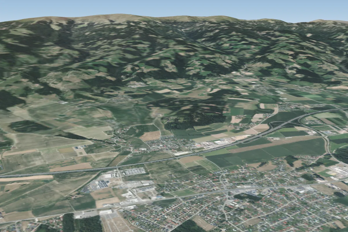
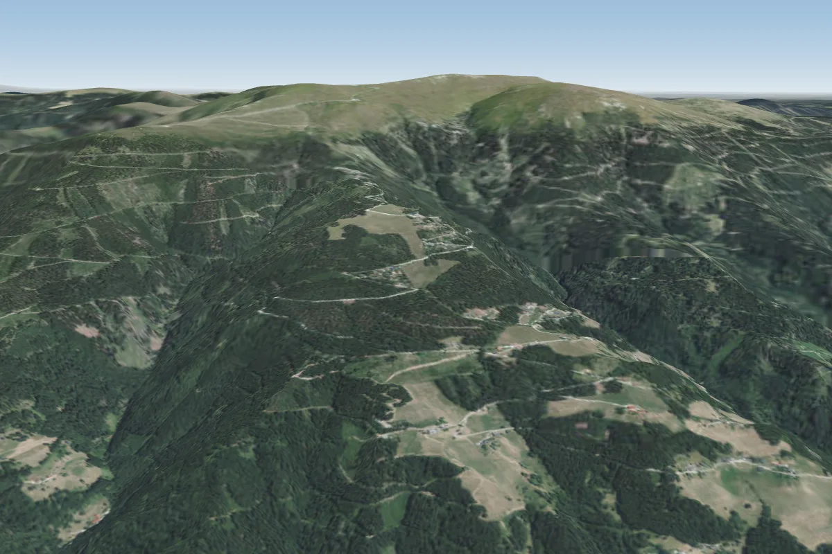
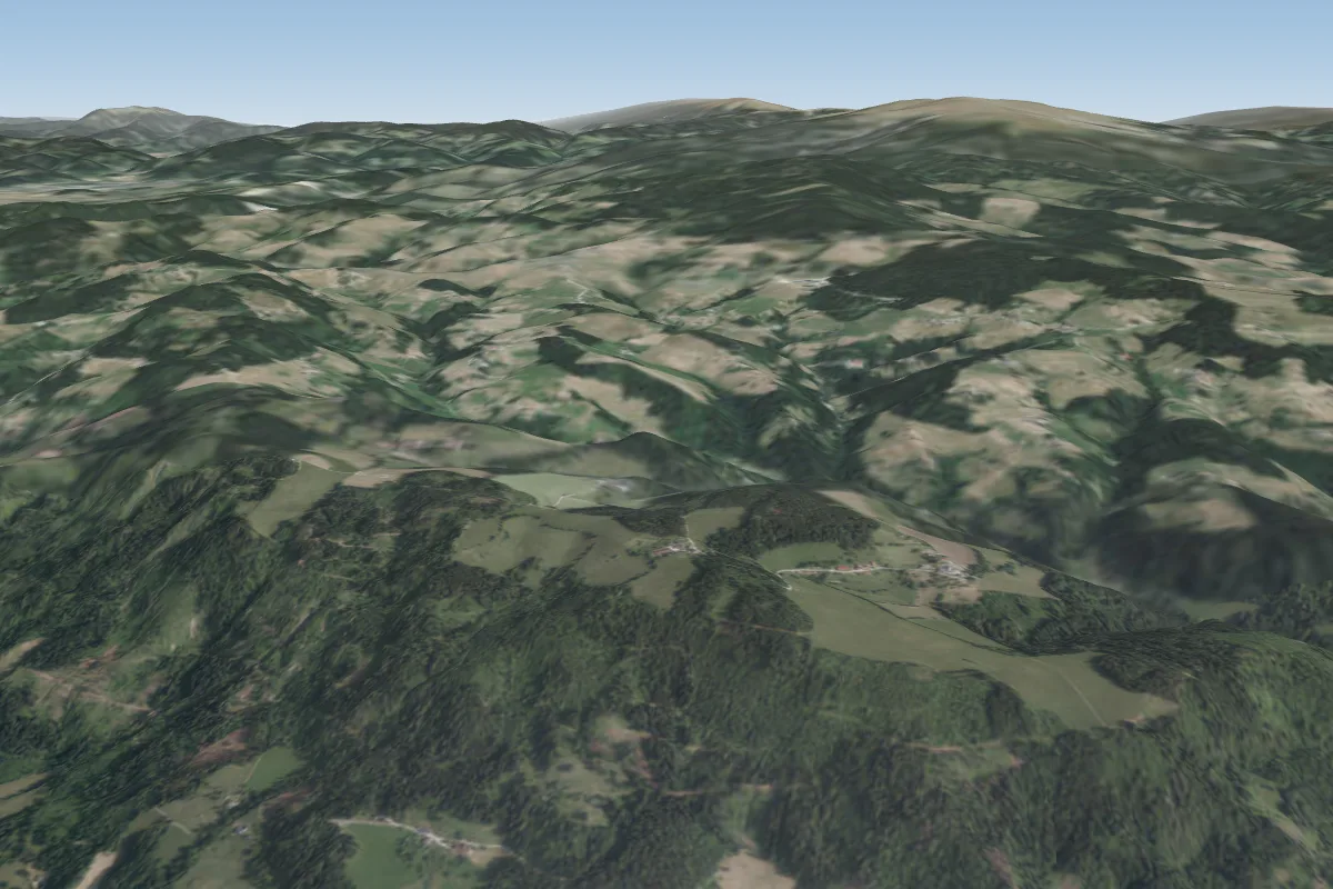
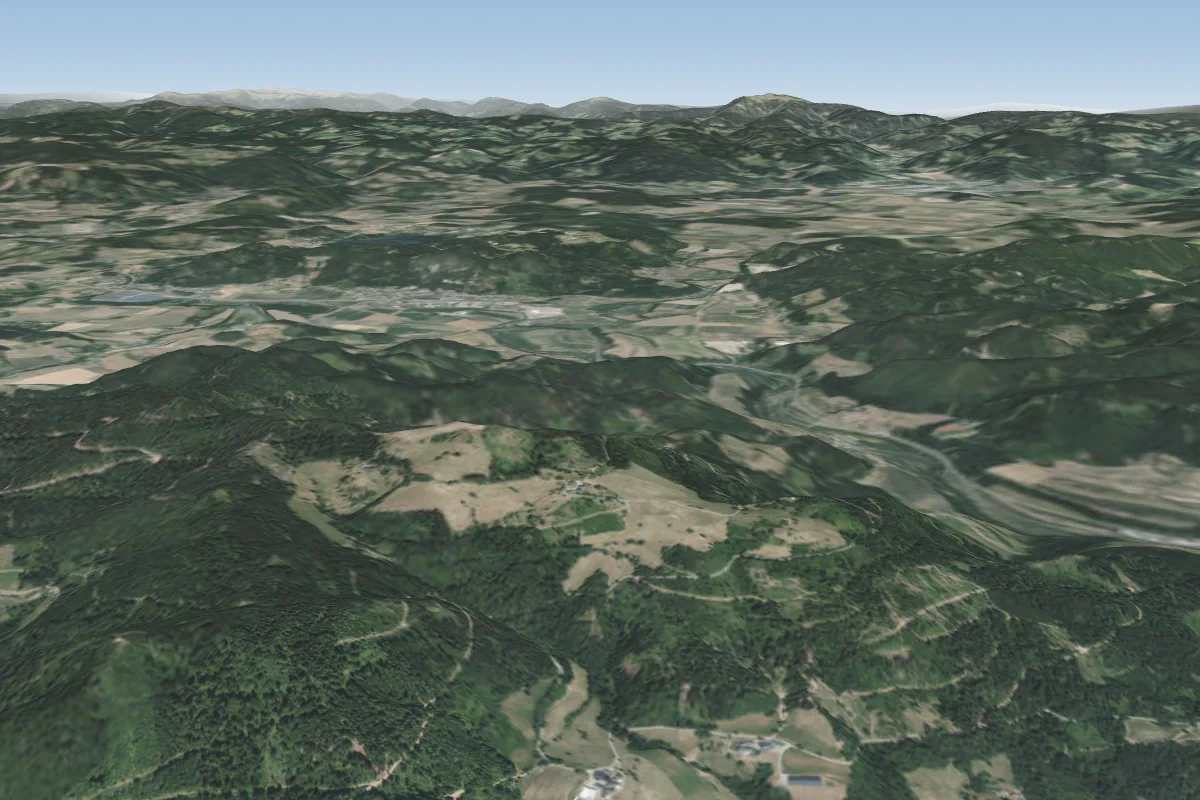
Pilot notes
No notes yet. Flown Jaga? Tell the next pilot what to expect.
Pilot notes on Jaga
Flying Jaga?
Takeoff, landing, rules, the hour by hour forecast and live wind are in the site details on the map.
Open site detailsSources
- ParaglidingEarth site record © ParaglidingEarth contributors (CC BY-SA)