Largotz
NW to NE facing site · 2,157 m takeoff · 1,298 m height gain
Overview
Largotz is a flying site in the Austrian Alps with a recorded launch elevation of 2,157 m. It works best in northerly, north-easterly and north-westerly winds, and can also work in easterly and westerly winds.
- Great view over the Inn valley. Spectacular view on the great mountain ridge to the north and over the central alps (also glaciers). Source: ParaglidingEarth
When to go
Flyable days per month in a typical year.
Flyable days for Largotz are on the way. We are scoring ten years of weather for every site, month by month, against this site, its region and the sites around it.
Local weather notes
- In the late afternoon there are mostly winds from the east. Do not fly if south winds are predicted (these are usually quite strong and turbulent) Otherwise calm. Source: ParaglidingEarth
Getting there
Nearest airports
- INN Innsbruck Airport19 km
- BZO Bolzano Airport89 km
- SZG Salzburg Airport122 km
Where to stay
The nearest towns, for a bed, food and a lift to takeoff.
- Wattens6 km awayBooking.comAirbnb
- Hall in Tirol8 km awayBooking.comAirbnb
- Schwaz14 km awayBooking.comAirbnb
Things to do
For the days the wind is wrong: places worth a visit within 10 km of Largotz.


Flying nearby
See them on the map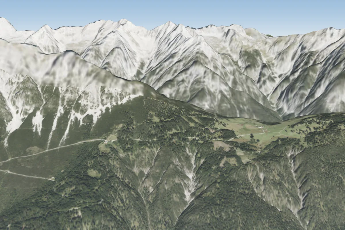 Hinterhorn Alm10 km N
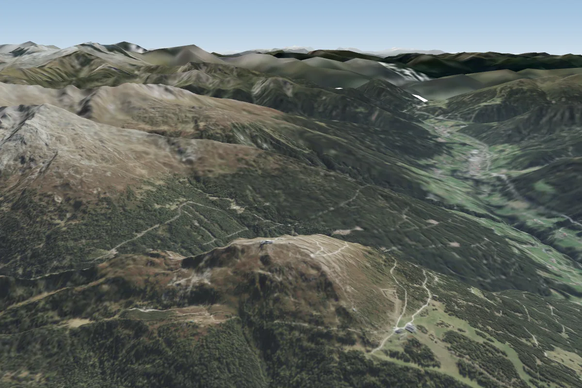 Patscherkofel11 km W
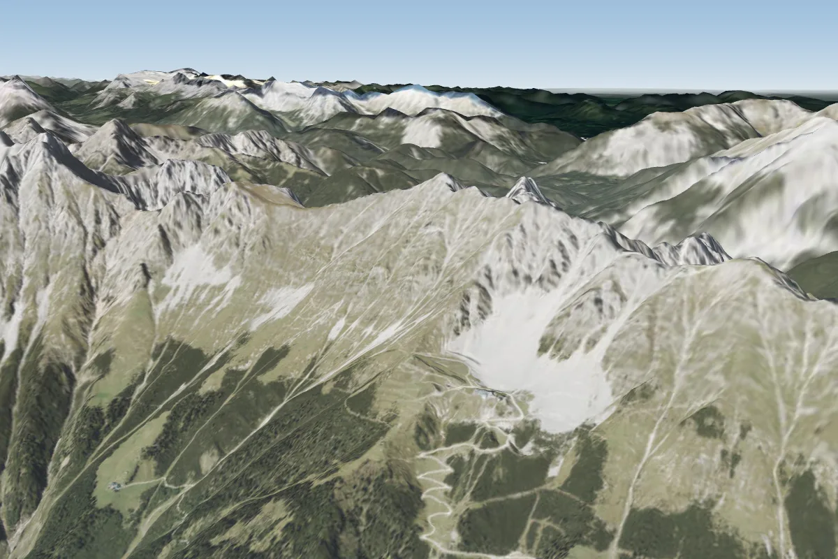 Seegrube (Innsbruck)18 km NW · Faces SE–SWWorks in other winds
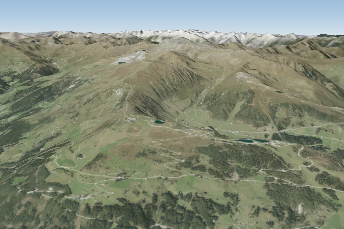 Mayrhofen-Finkenberg18 km SE · Faces SE–SWPossible XC from here on a NW day, 18 km downwindWorks in other winds
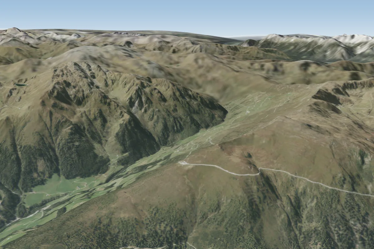 Zillertaler Höhenstrasse -Melchboden (Mayrhofen)18 km E · Faces NE–SEWorks in other winds
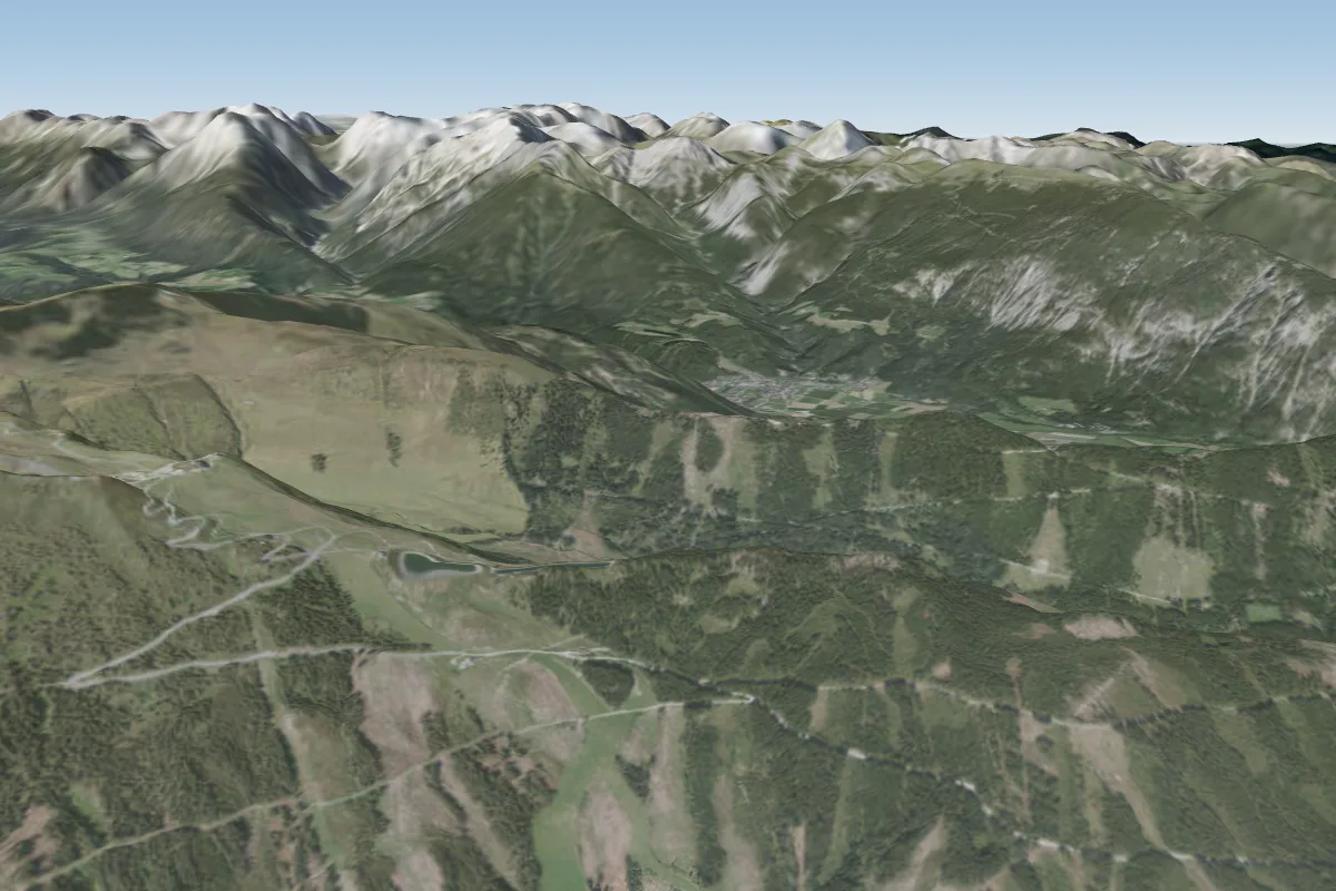 Spieljoch19 km NE
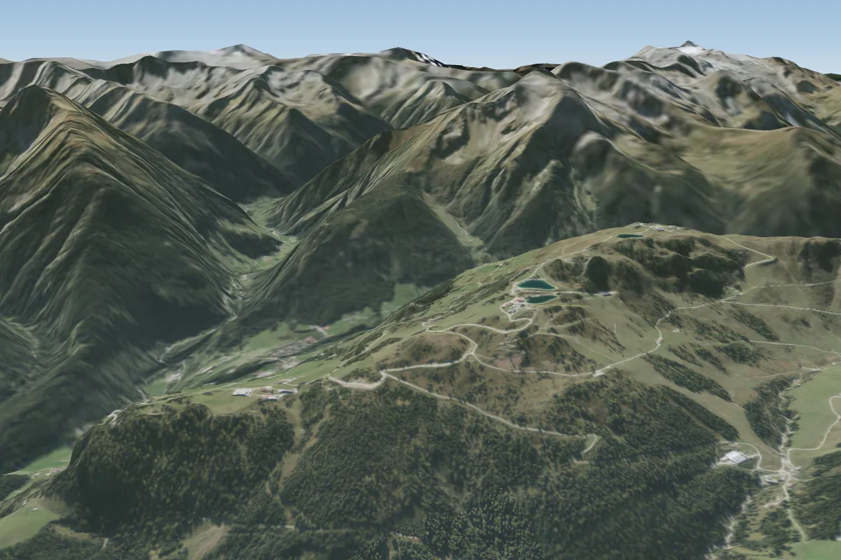 Penken19 km E · Faces NE–EPossible XC from here on a NW day, 19 km downwind
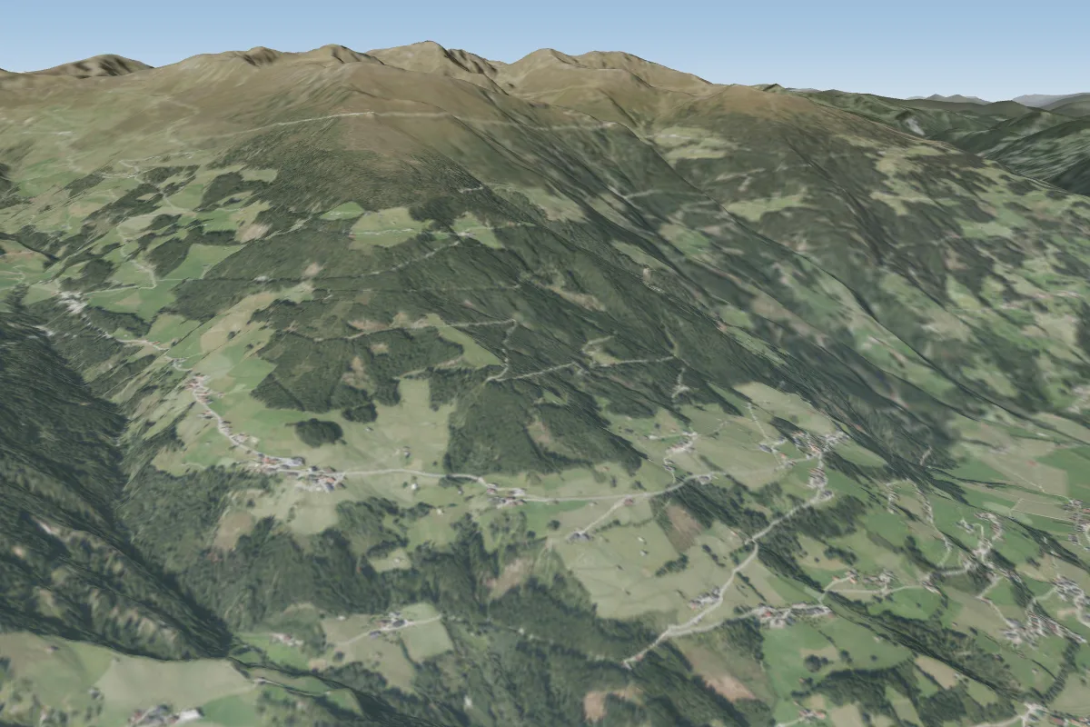 Perler20 km E · Faces SWorks in other winds
More paragliding sites near Largotz
- frozen wall 21 km away
- 12er Kopf Zwoelferkopf (Pertisau- Achensee) 22 km away
Pilot notes
No notes yet. Flown Largotz? Tell the next pilot what to expect.
Pilot notes on Largotz
Flying Largotz?
Takeoff, landing, rules, the hour by hour forecast and live wind are in the site details on the map.
Open site detailsSources
- ParaglidingEarth site record © ParaglidingEarth contributors (CC BY-SA)