Kopitoto
West-facing thermal site · 1,302 m takeoff · 553 m height gain
Overview
Kopitoto is a flatland site in Bulgaria with a recorded launch elevation of 1,302 m. It works best in westerly winds, and can also work in south-westerly and north-westerly winds. Pilots fly it for thermal, using foot launch. It is recorded as suitable for cross-country flights.
When to go
Flyable days per month in a typical year.
Flyable days for Kopitoto are on the way. We are scoring ten years of weather for every site, month by month, against this site, its region and the sites around it.
Getting there
Nearest airports
- SOF Sofia Airport16 km
- INI Niš Constantine the Great Airport137 km
- PDV Plovdiv International Airport147 km
Where to stay
The nearest towns, for a bed, food and a lift to takeoff.
- Sofia9 km away · cityBooking.comAirbnb
- Bankya11 km awayBooking.comAirbnb
- Bozhurishte15 km awayBooking.comAirbnb
Things to do
For the days the wind is wrong: places worth a visit within 10 km of Kopitoto.
 Vitosha Mountain TV TowerCulture · 0.1 km awayTelevision tower near Sofia, Bulgaria
 Boyana WaterfallOutdoors · 1.3 km awayWaterfall in Bulgaria
 Boyana ChurchCulture · 2.1 km awayChurch in Sofia, Bulgaria
 Boyana LakeOutdoors · 2.2 km awayLake in Bulgaria
 Ushite PeakOutdoors · 3.6 km awayMountain in Bulgaria
 Torfeno BranishteOutdoors · 6.6 km awayNature reserve in Bulgaria
 Sofia ZooCulture · 7.6 km awayZoo in Sofia, Bulgaria
Flying nearby
See them on the map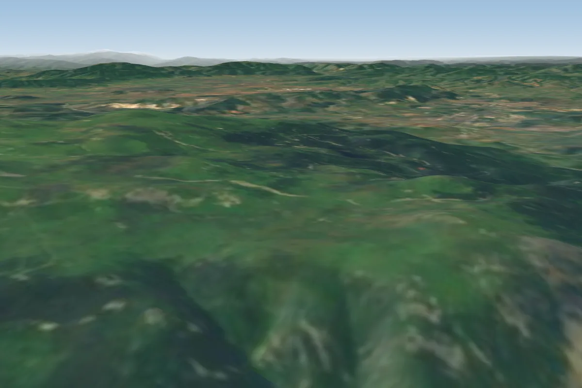 Kominite5 km SE · Faces NE–EWorks in other winds
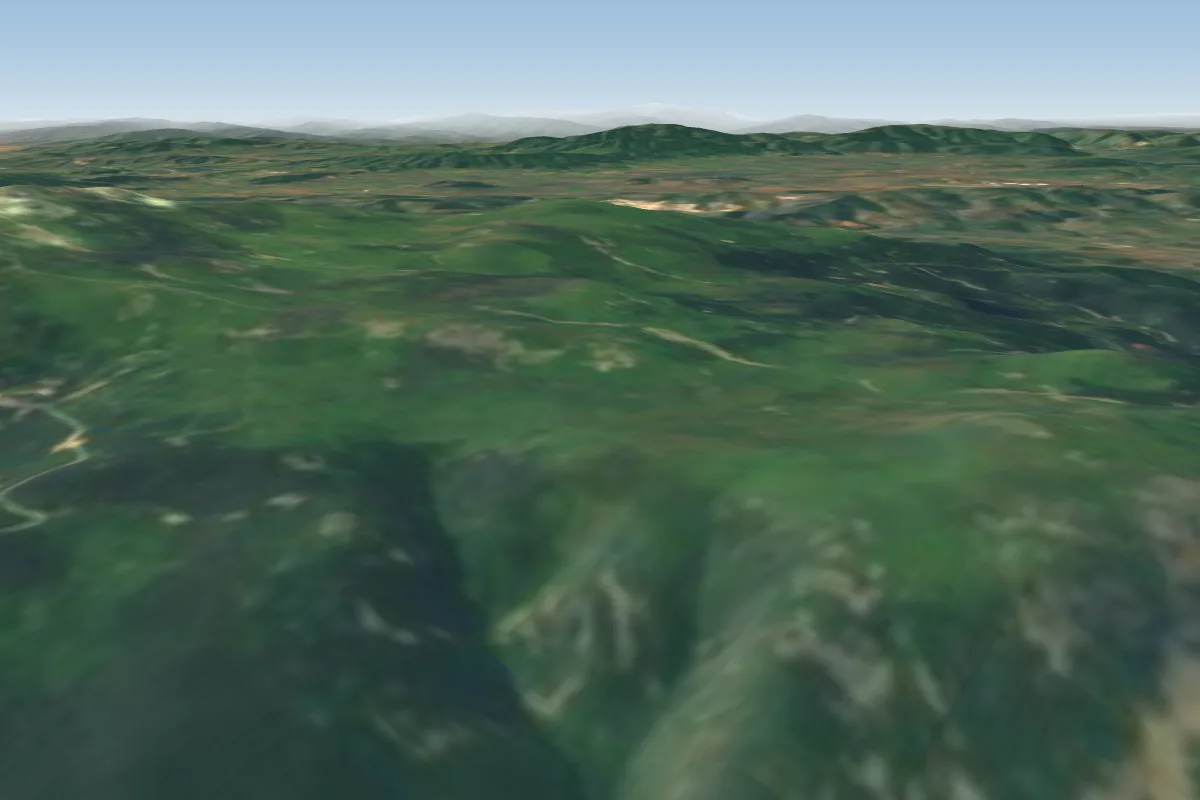 Vulchata skala5 km SE · Faces N–NEWorks in other winds
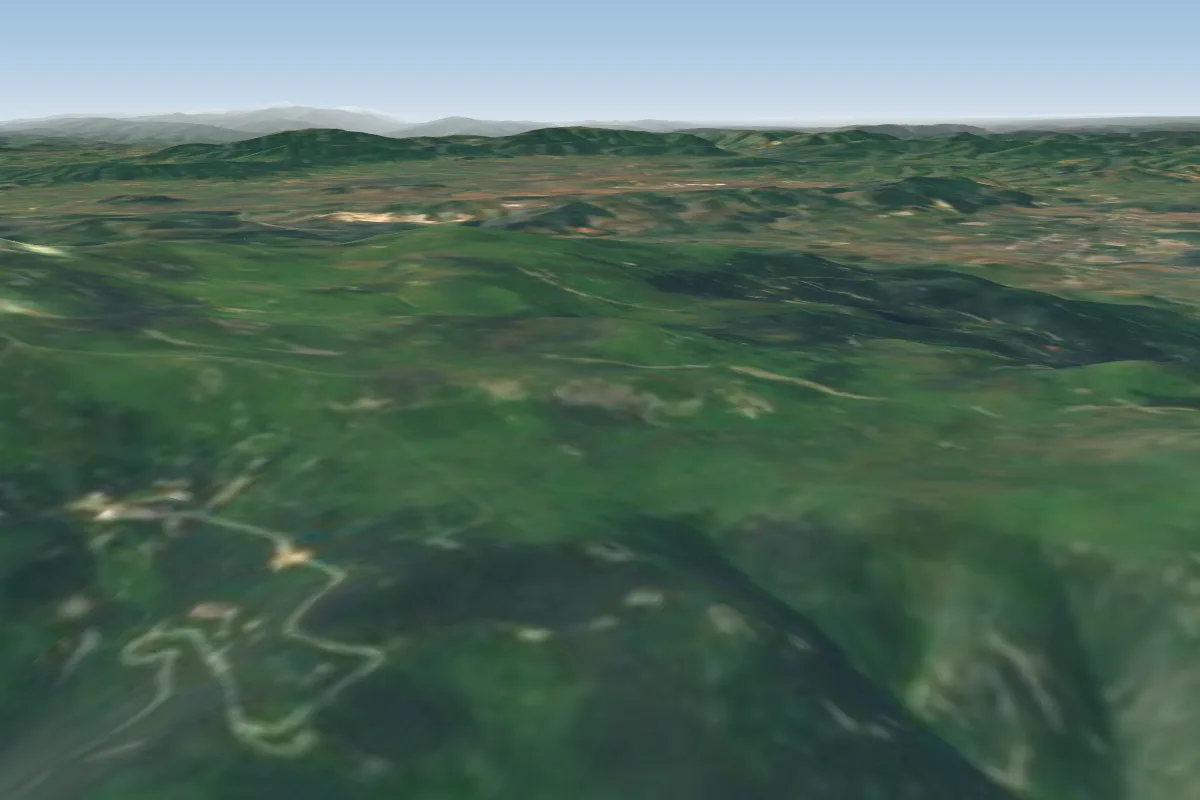 Goli vrah6 km SE · Faces N–NEWorks in other winds
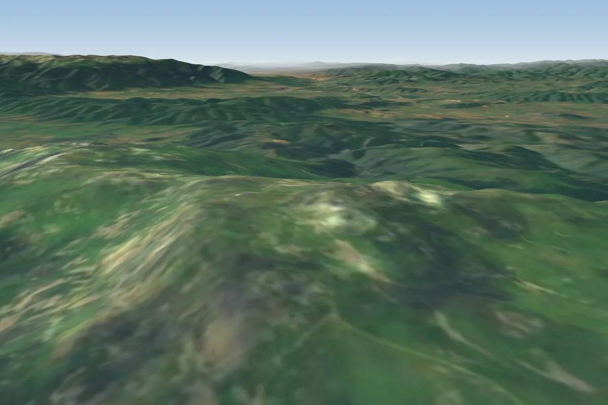 Rezniovete - West8 km SE · Faces NE–SEWorks in other winds
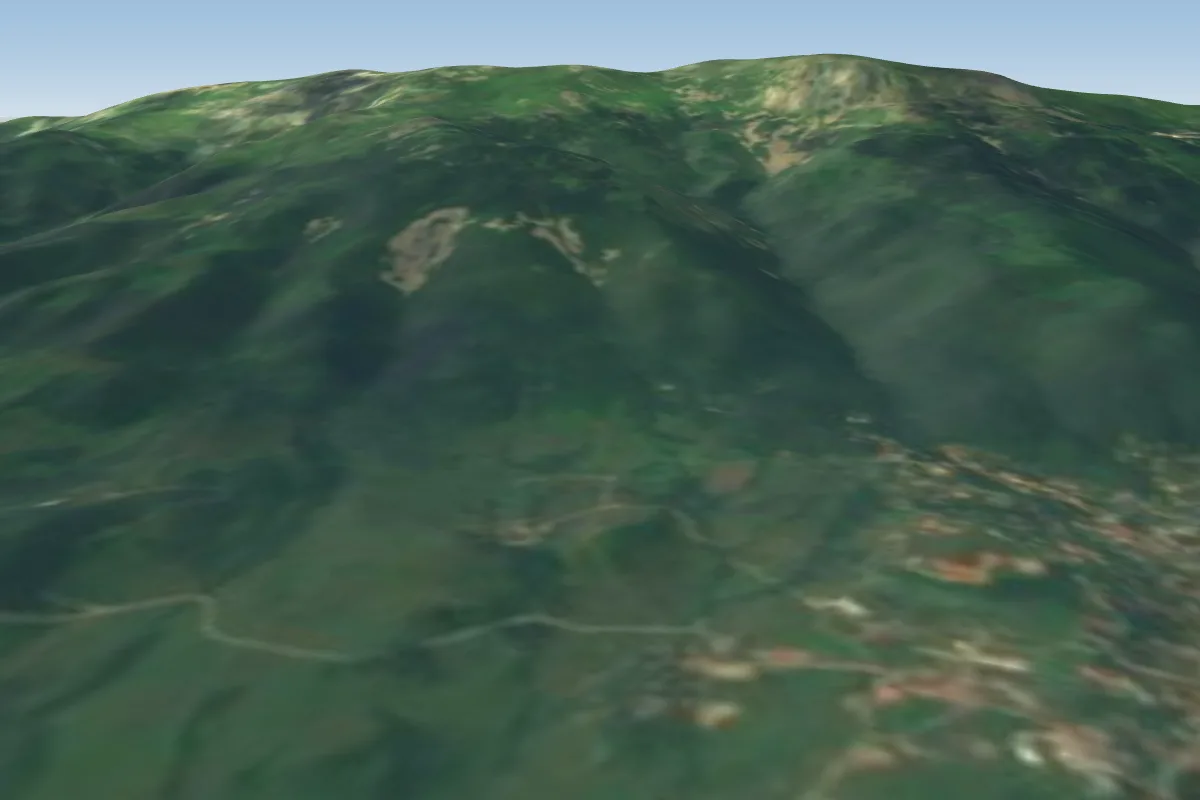 Kapral12 km SE · Faces N–NEWorks in other winds
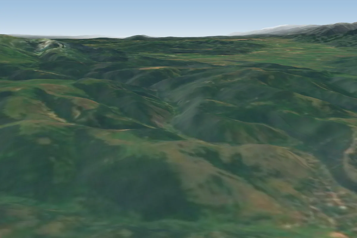 Bosneka15 km S
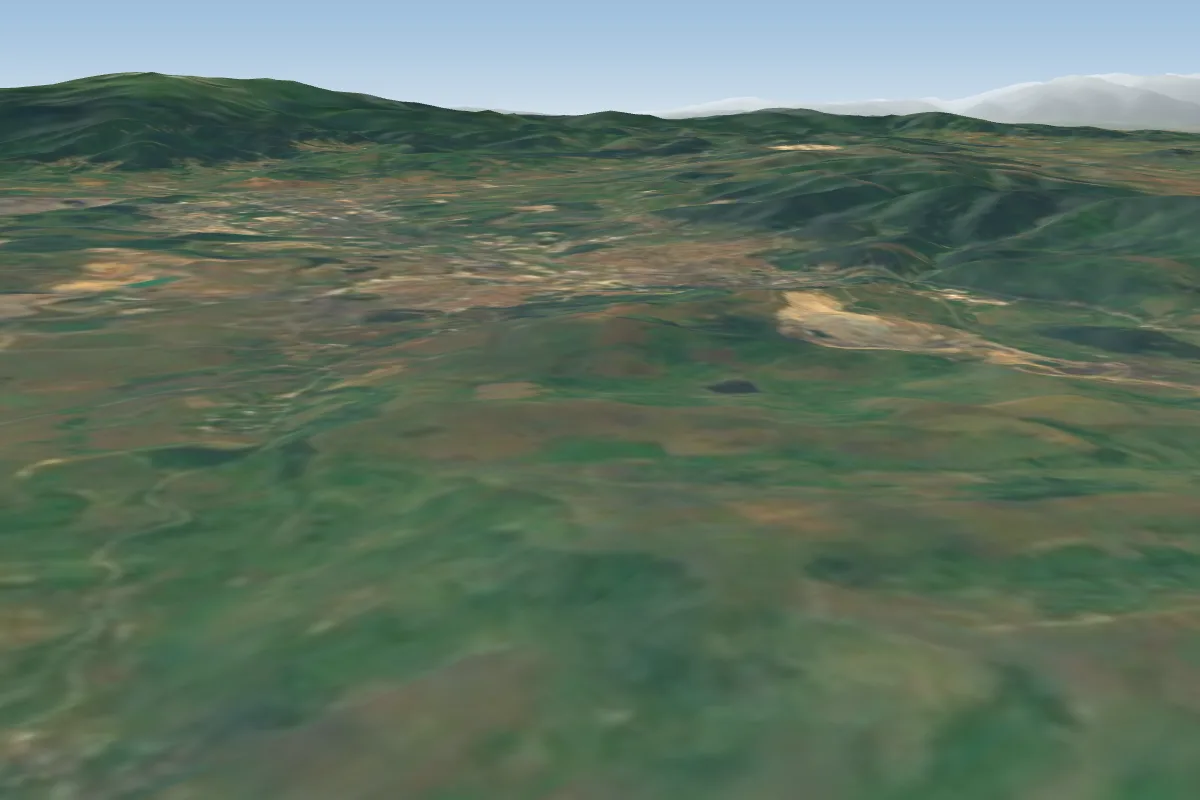 Vitanovci21 km W · Faces NW–NWorks in other winds
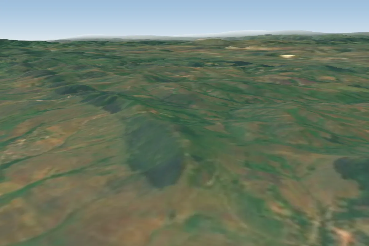 Rasnik22 km W · Faces NE, E, S, SWWorks in other winds
Pilot notes
No notes yet. Flown Kopitoto? Tell the next pilot what to expect.
Pilot notes on Kopitoto
Flying Kopitoto?
Takeoff, landing, rules, the hour by hour forecast and live wind are in the site details on the map.
Open site detailsSources
- ParaglidingEarth site record © ParaglidingEarth contributors (CC BY-SA)