Markudjik 2
SW to W facing ridge site · 2,463 m takeoff · 1,325 m height gain
Overview
Markudjik 2 is a mountain site in Bulgaria with a recorded launch elevation of 2,463 m. It works best in south-westerly and westerly winds, and can also work in north-easterly, easterly and north-westerly winds. Pilots fly it for ridge soaring and thermal, using foot launch. It is recorded as suitable for cross-country flights.
- Start: Option 1: Markudzhik2. West. Only experienced piloti.Completely thermal conditions.V most cases is rather impulsively, a rock rib formed adjacent rotor with light northwest wind. Option 2: Markudzhik2. east northeast of the runway. Source: ParaglidingEarth
When to go
Flyable days per month in a typical year.
Flyable days for Markudjik 2 are on the way. We are scoring ten years of weather for every site, month by month, against this site, its region and the sites around it.
Getting there
Nearest airports
- SOF Sofia Airport56 km
- PDV Plovdiv International Airport106 km
- SKP Skopje International Airport164 km
Where to stay
The nearest towns, for a bed, food and a lift to takeoff.
- Samokov14 km awayBooking.comAirbnb
- Dolna Banya19 km awayBooking.comAirbnb
- Yakoruda23 km awayBooking.comAirbnb
Things to do
For the days the wind is wrong: places worth a visit within 10 km of Markudjik 2.
 MusalaOutdoors · 3.6 km awayHighest mountain in Bulgaria
 Central Rila ReserveOutdoors · 3.6 km awayNature reserve in Bulgaria
 Tsarska BistritsaCulture · 5.5 km awayPalace in Rila, Bulgaria
 BorovetsOutdoors · 6.5 km awaySki resort in Bulgaria
 Rila Monastery Nature ParkOutdoors · 8.2 km awayNature park in Kyustendil, Bulgaria
- Rila National ParkOutdoors · 3.6 km awayNational park in Bulgaria
Flying nearby
See them on the map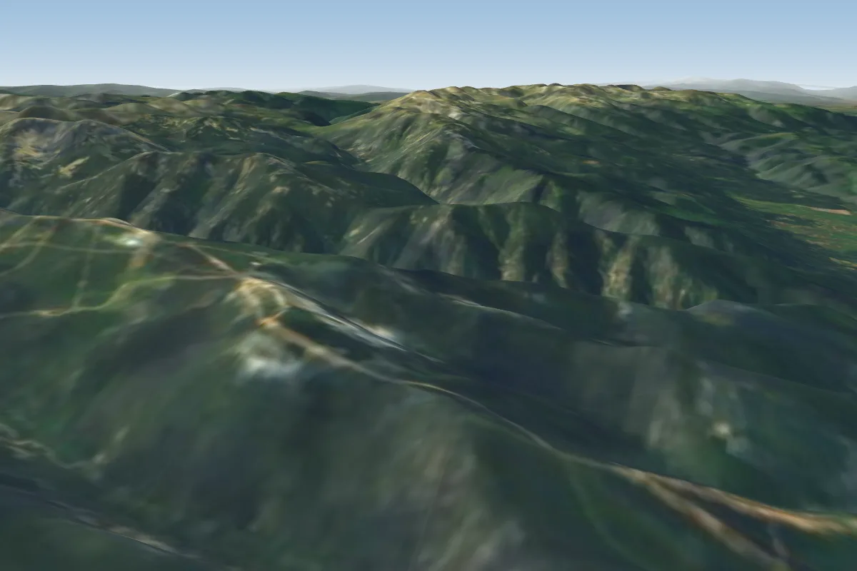 Yastrebetc3 km N · Faces NW–NEWorks in other winds
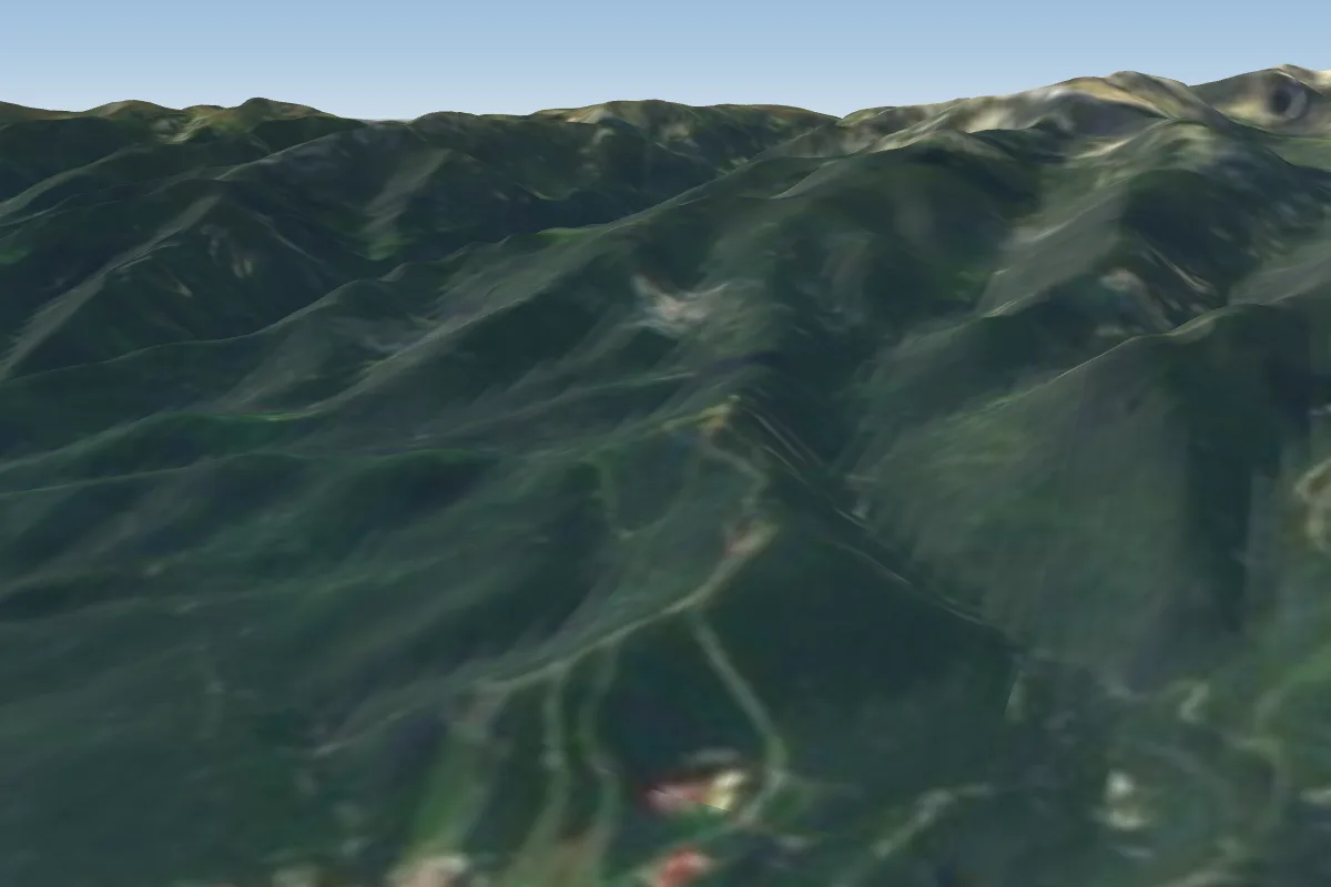 Borovec - Sitniakovo6 km NE · Faces N–NEWorks in other winds
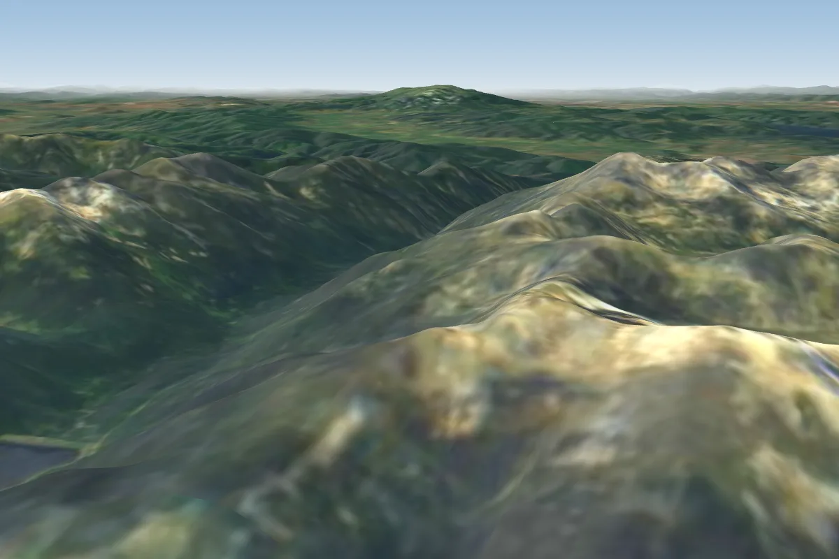 Ovcharets8 km S · Faces E–SEWorks in other winds
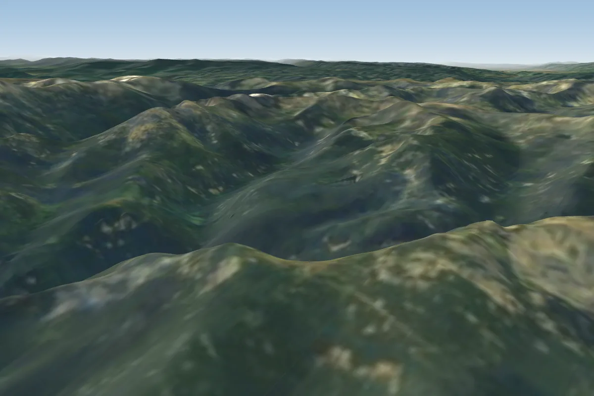 Mechit9 km W · Faces W–NWorks in other winds
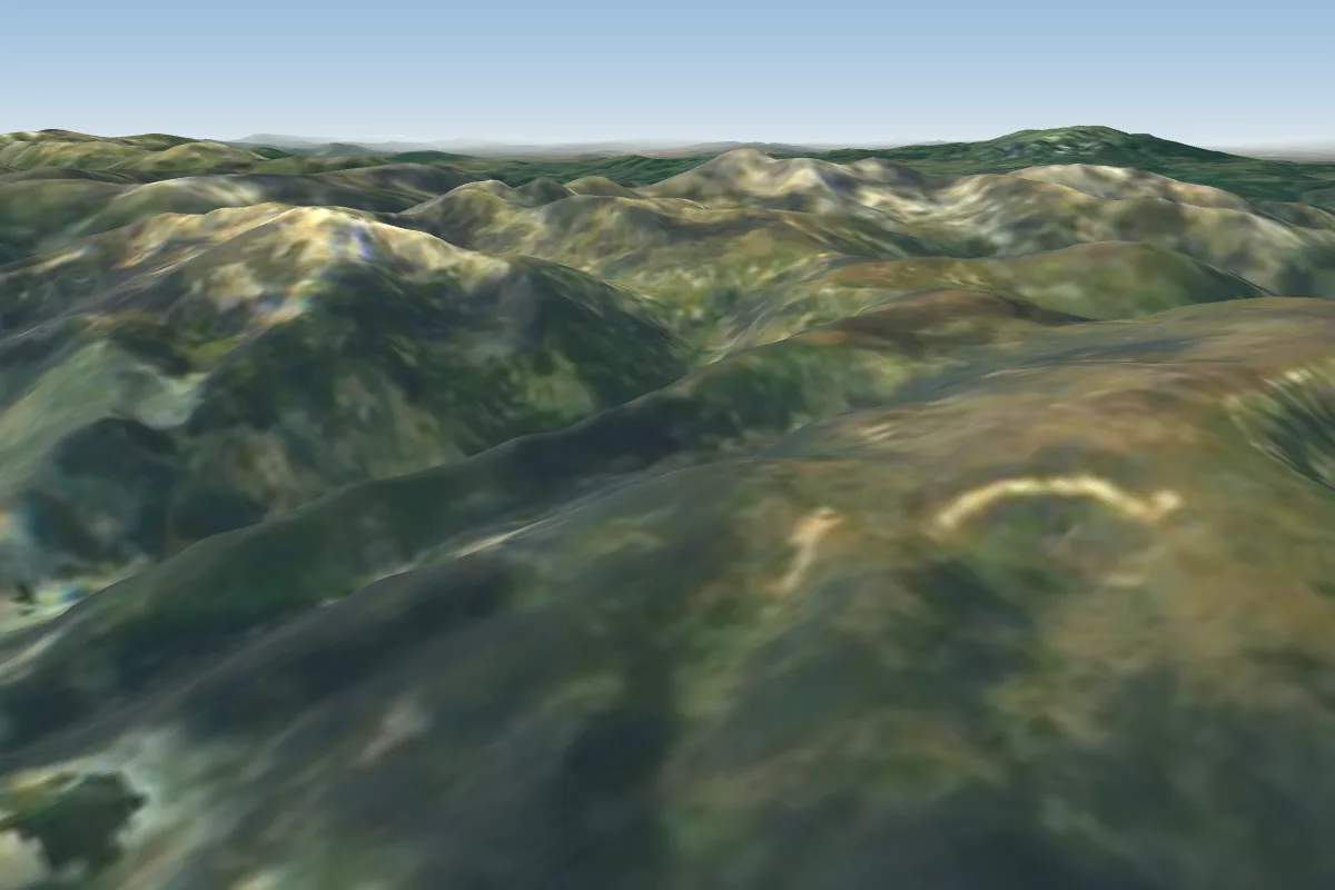 Marina Vapa11 km SE · Faces SE–SWorks in other winds
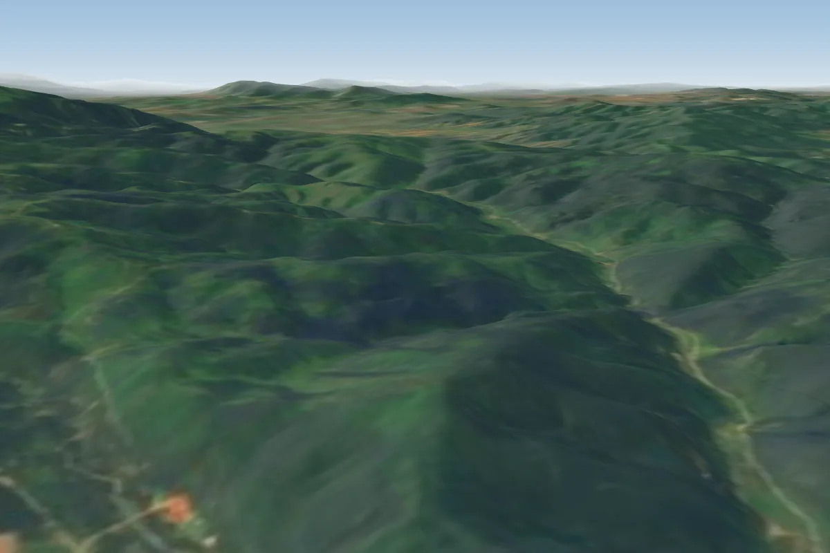 Sveti Iliya12 km NW · Faces E
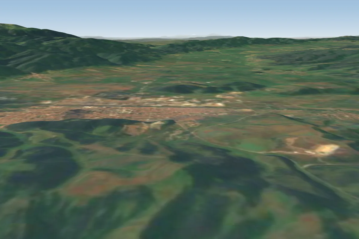 Дъбова глава15 km N · Faces E, SE, S, WWorks in other winds
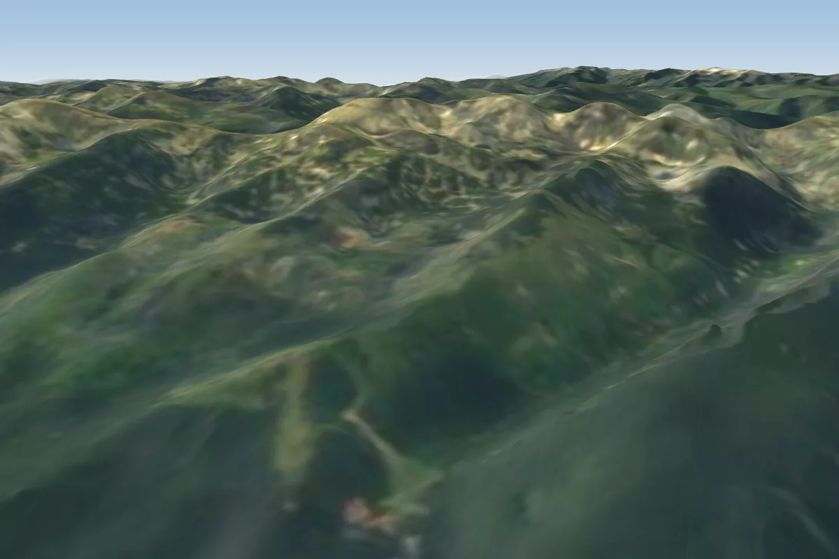 Rujdavitca N-NW15 km W · Faces NW–NWorks in other winds
Pilot notes
No notes yet. Flown Markudjik 2? Tell the next pilot what to expect.
Pilot notes on Markudjik 2
Flying Markudjik 2?
Takeoff, landing, rules, the hour by hour forecast and live wind are in the site details on the map.
Open site detailsSources
- ParaglidingEarth site record © ParaglidingEarth contributors (CC BY-SA)