Upper Ripley
NE to SE facing site · 959 m takeoff
Overview
Upper Ripley is a flying site in Canada with a recorded launch elevation of 959 m. It works best in north-easterly, easterly and south-easterly winds, and can also work in northerly and southerly winds.
When to go
Flyable days per month in a typical year.
Flyable days for Upper Ripley are on the way. We are scoring ten years of weather for every site, month by month, against this site, its region and the sites around it.
Getting there
Nearest airports
- YYF Penticton Airport24 km
- YLW Kelowna International Airport81 km
- YCG Castlegar/West Kootenay Regional Airport145 km
Where to stay
The nearest towns, for a bed, food and a lift to takeoff.
- Oliver9 km awayBooking.comAirbnb
- Osoyoos26 km awayBooking.comAirbnb
- Penticton29 km away · cityBooking.comAirbnb
Things to do
For the days the wind is wrong: places worth a visit within 10 km of Upper Ripley.
 White Lake Grasslands Protected AreaOutdoors · 5.9 km awayProtected area in British Columbia
 Mahoney LakeOutdoors · 6 km awayLake in British Columbia, Canada
 Inkaneep Provincial ParkOutdoors · 6.1 km awayProvincial park in British Columbia
 Tuc-el-nuit LakeOutdoors · 7.7 km awayLake in British Columbia, Canada
 Vaseux LakeOutdoors · 8.4 km awayLake in the Okanagan Valley of British Columbia, Canada
 Vaseux Lake Provincial ParkOutdoors · 9.2 km awayProvincial park in British Columbia, Canada
Flying nearby
See them on the map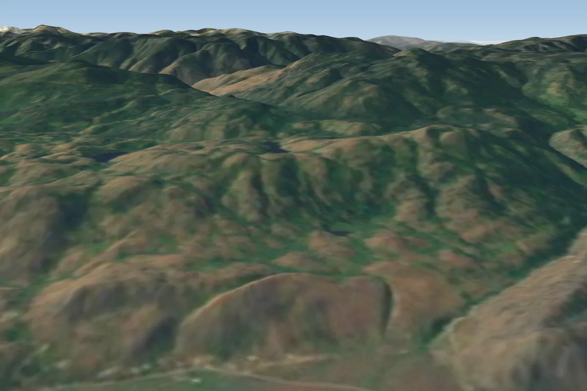 Lower Ripley - CLOSED DO NOT FLY1 km NE · Faces E
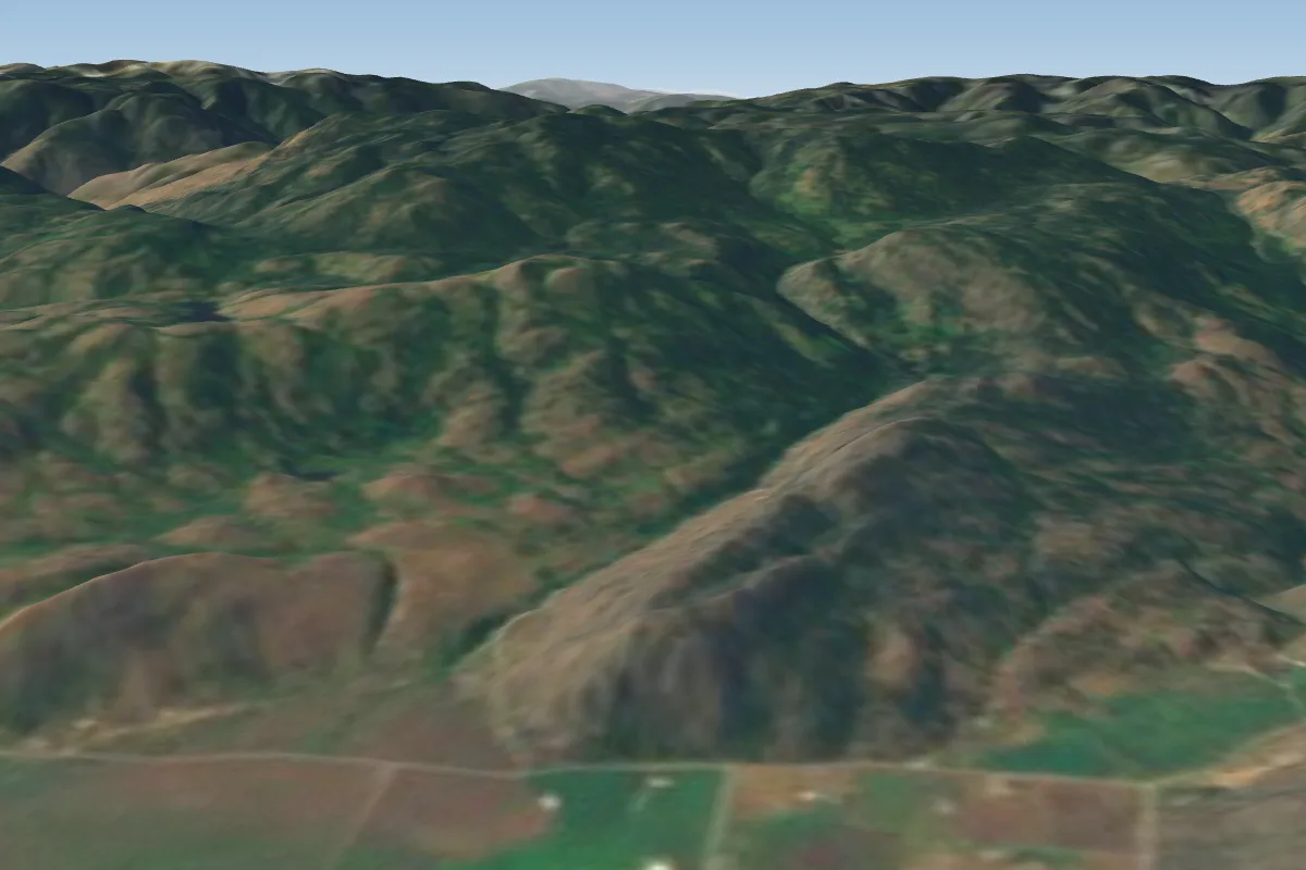 Ottos2 km NE · Faces NE–S
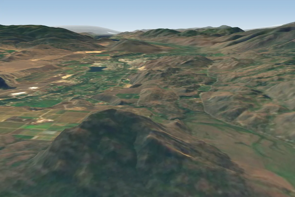 Seacrest3 km E · Faces SW–NWorks in other winds
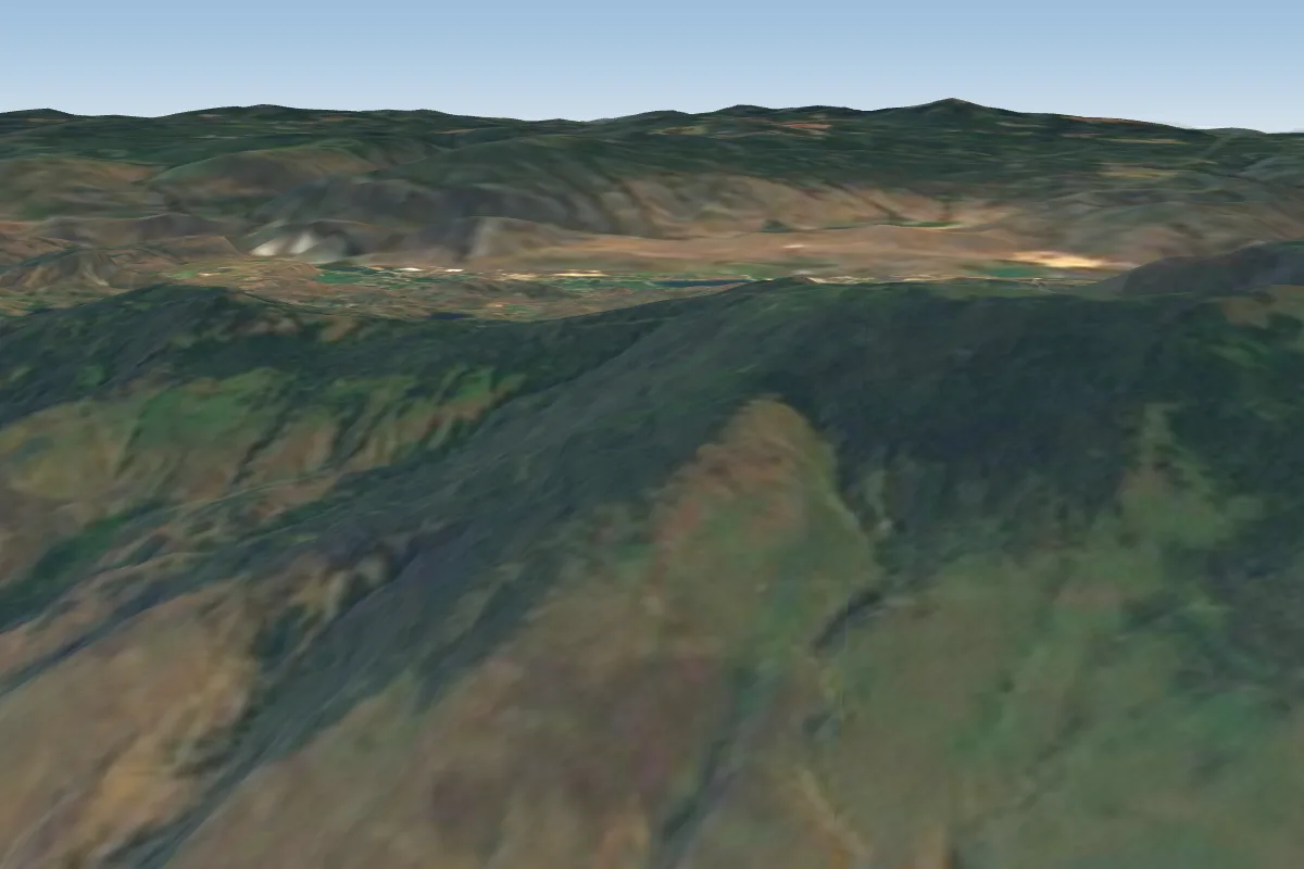 Cawston9 km SW · Faces SW–WWorks in other winds
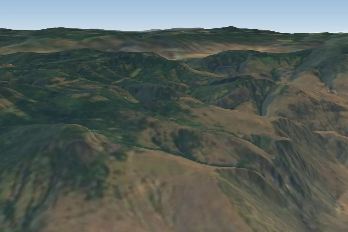 Orofino12 km W
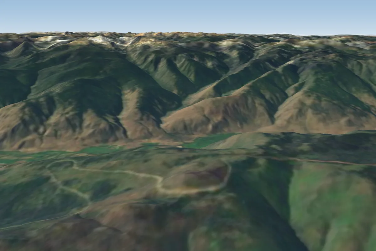 Mount Kobau15 km S
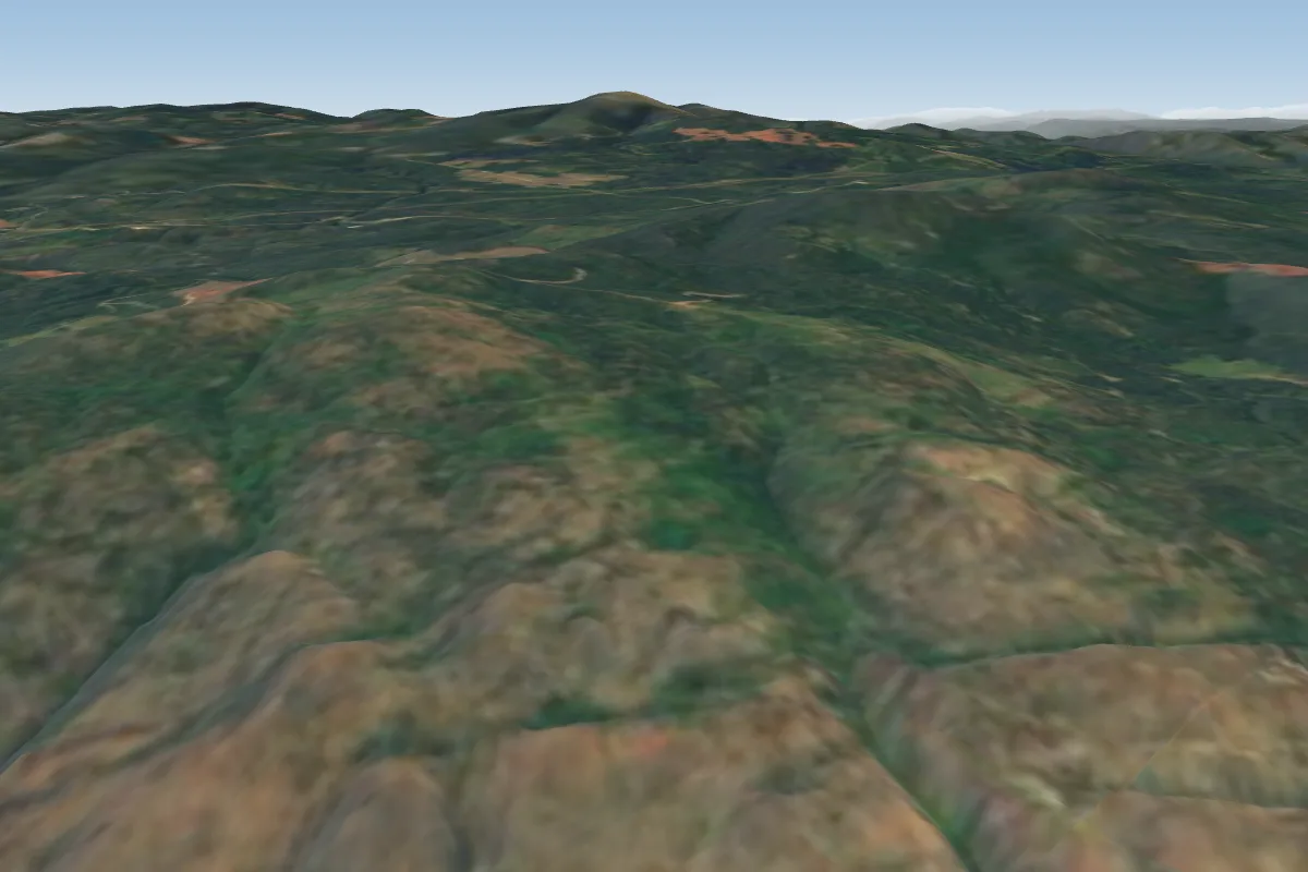 Anarchist (Osoyoos)27 km SE · Faces SWWorks in other winds
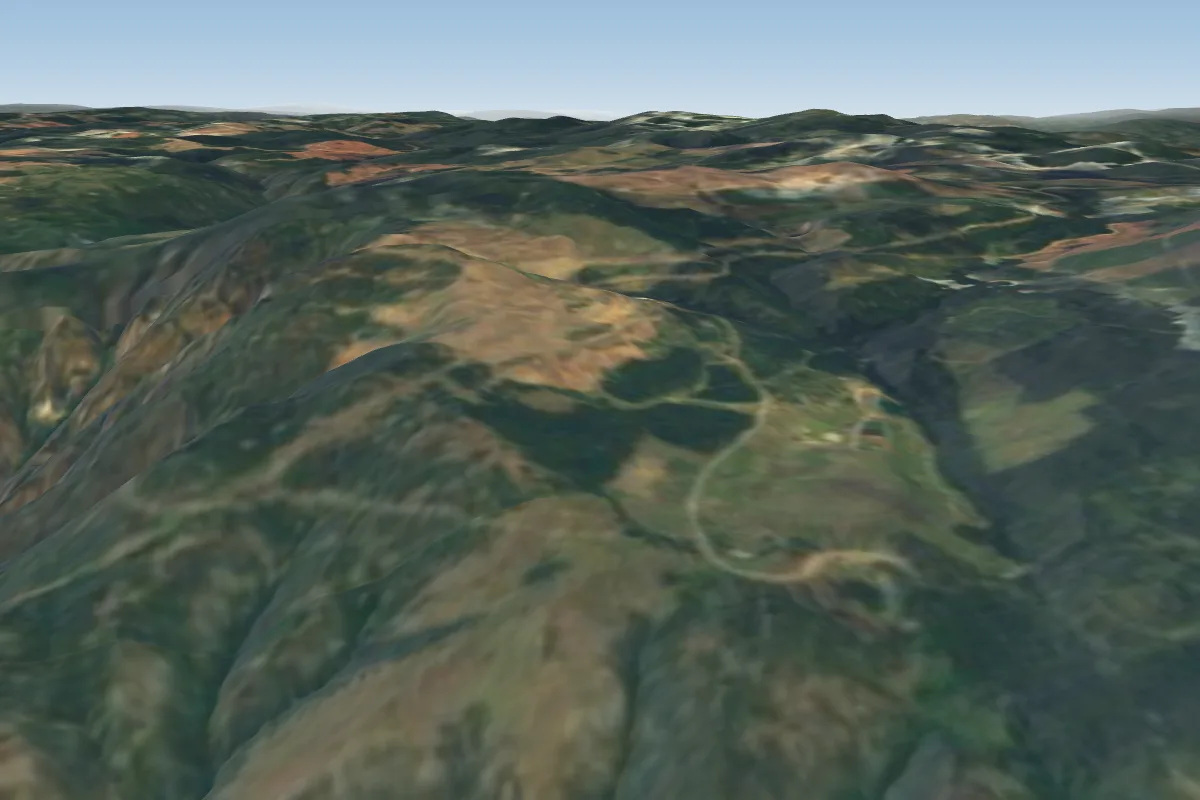 Hedley32 km W · Faces S–SWPossible XC from here on a E day, 32 km downwindWorks in other winds
Pilot notes
No notes yet. Flown Upper Ripley? Tell the next pilot what to expect.
Pilot notes on Upper Ripley
Flying Upper Ripley?
Takeoff, landing, rules, the hour by hour forecast and live wind are in the site details on the map.
Open site detailsSources
- ParaglidingEarth site record © ParaglidingEarth contributors (CC BY-SA)