Ceta
South-east-facing site · 1,530 m takeoff
Overview
Ceta is a flying site in the Swiss Alps with a recorded launch elevation of 1,530 m. It works best in south-easterly winds, and can also work in easterly and southerly winds.
When to go
Flyable days per month in a typical year.
Flyable days for Ceta are on the way. We are scoring ten years of weather for every site, month by month, against this site, its region and the sites around it.
Local weather notes
- Typical valley wind, check wind forecast and Föhn previsions on https://cvlt.ch/vento/ . it is recommended to use this takeoff with pressure difference 0-4 hPa from south. IT'S DANGEROUS TO FLY WITH NORTH WIND! Source: ParaglidingEarth
Getting there
Nearest airports
- LUG Lugano Airport49 km
- BGY Il Caravaggio International Airport90 km
- MXP Milan Malpensa International Airport93 km
Where to stay
The nearest towns, for a bed, food and a lift to takeoff.
- Chiavenna17 km awayBooking.comAirbnb
- Bellinzona27 km awayBooking.comAirbnb
- Colico32 km awayBooking.comAirbnb
Things to do
For the days the wind is wrong: places worth a visit within 10 km of Ceta.
 Valle MesolcinaOutdoors · 2.2 km awayValley in the Grisons, Switzerland
 Mesocco CastleCulture · 2.5 km awayRuined castle in Switzerland
 Piz Pian GrandOutdoors · 4.9 km awayMountain in Switzerland
 Lagh DossOutdoors · 5.9 km awayLake in Switzerland
 Piz di PianOutdoors · 8 km awayMountain in Switzerland
 Pizzo di CampelOutdoors · 8.2 km awayMountain of the Lepontine Alps
 Pizzo del RamulazzOutdoors · 9.1 km awayMountain of the Lepontine Alps
 Piz de la LumbreidaOutdoors · 9.5 km awayMountain in Switzerland
Flying nearby
See them on the map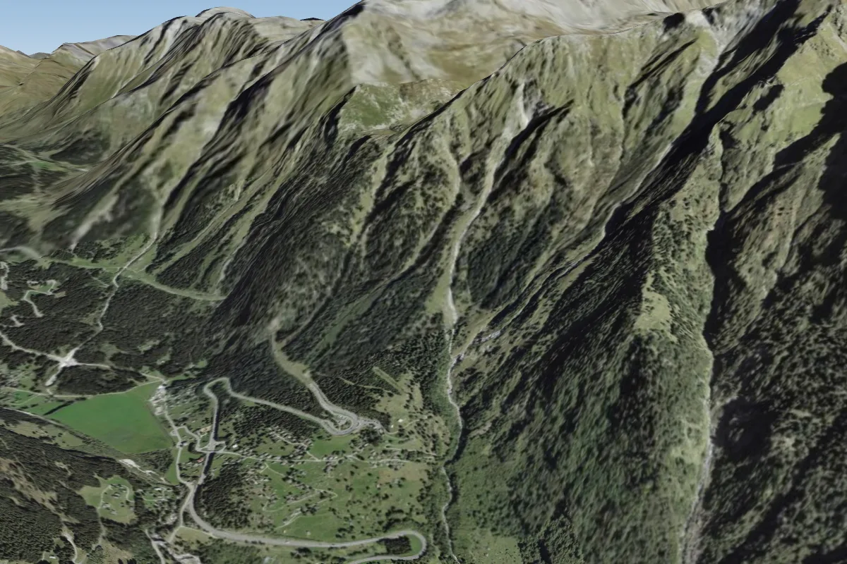 Camou, Pian San Giacomo3 km NE · Faces S–SWWorks in other winds
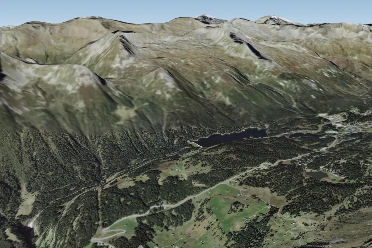 Suossa, San Bernardino5 km N · Faces SE–S
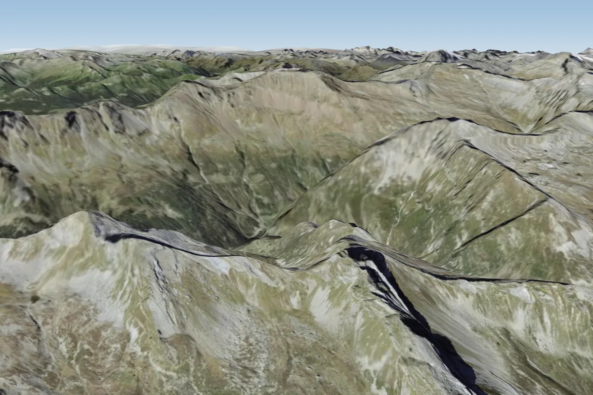 Bocca de Rogna - San Bernardino5 km NW · Faces SE–S
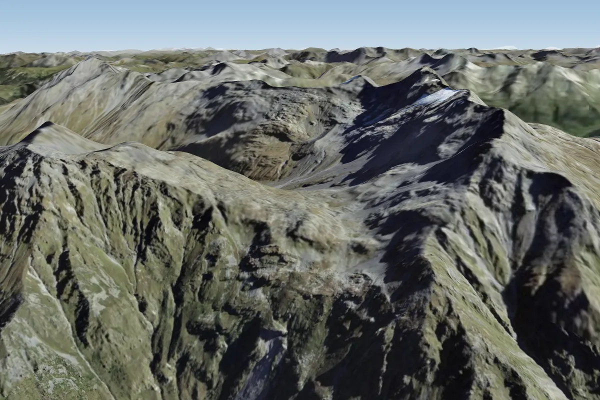 Bocchetta de Curciusa, San Bernardino6 km N · Faces SWWorks in other winds
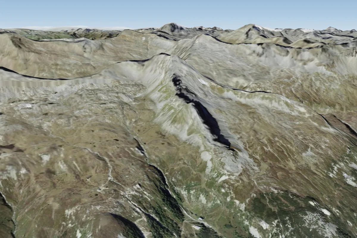 Confin, San Bernardino8 km NW · Faces SE–S
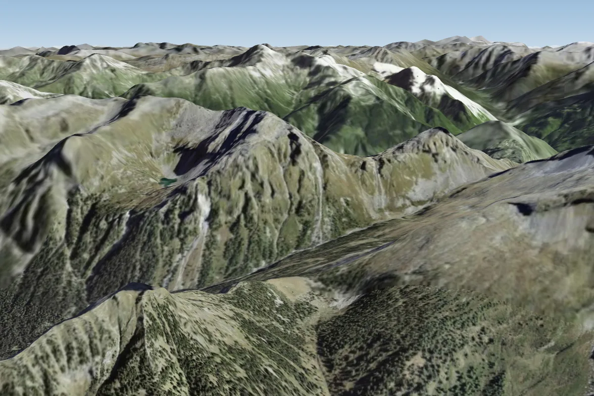 Campel Alt, Passo di9 km SE · Faces S–SWWorks in other winds
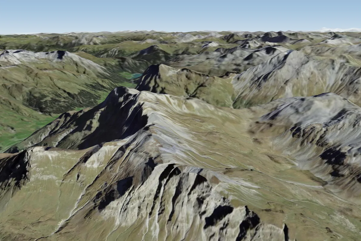 Piz Uccello11 km N
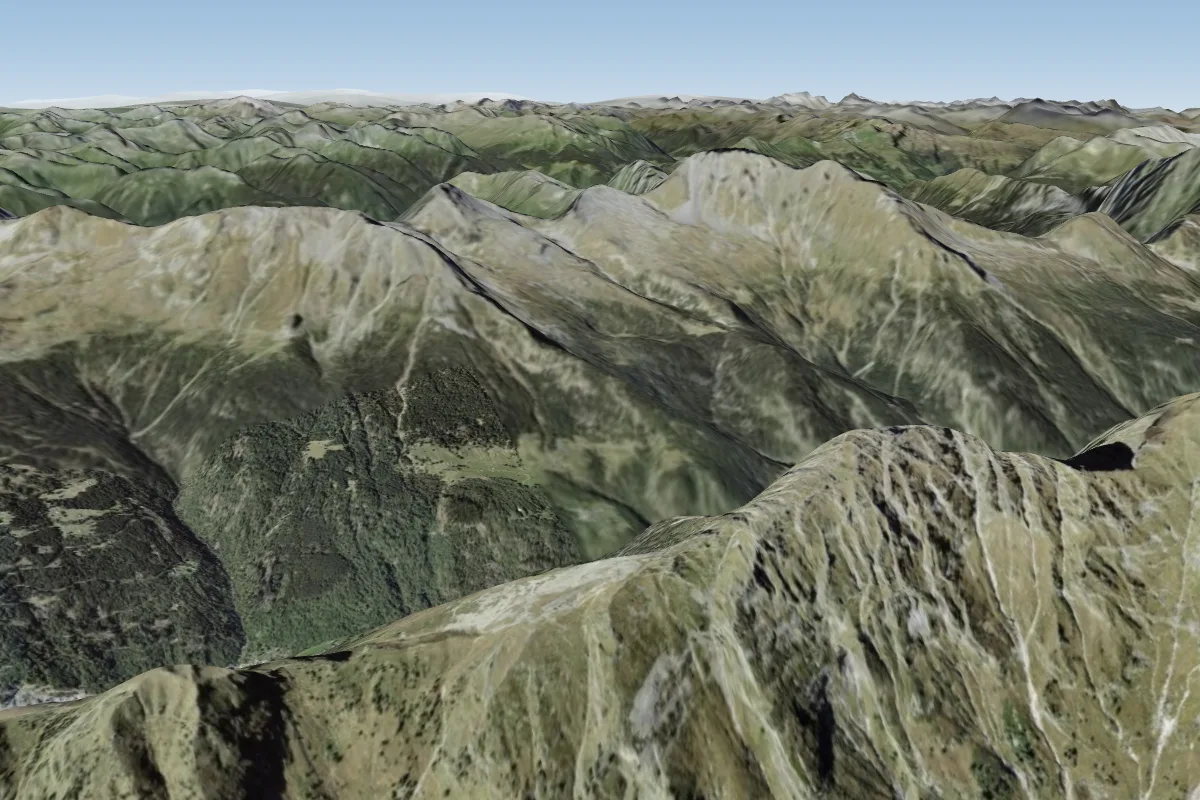 Bochèta de Vegeina11 km SW · Faces E–SE
Pilot notes
No notes yet. Flown Ceta? Tell the next pilot what to expect.
Pilot notes on Ceta
Flying Ceta?
Takeoff, landing, rules, the hour by hour forecast and live wind are in the site details on the map.
Open site detailsSources
- ParaglidingEarth site record © ParaglidingEarth contributors (CC BY-SA)