Dreibuendenstein-2120
Faces E, S, W, NW thermal site · 2,120 m takeoff
Overview
Dreibuendenstein-2120 is a mountain site in the Swiss Alps with a recorded launch elevation of 2,120 m. It works best in easterly, southerly, westerly and north-westerly winds. Pilots fly it for thermal, using foot launch.
When to go
Flyable days per month in a typical year.
Flyable days for Dreibuendenstein-2120 are on the way. We are scoring ten years of weather for every site, month by month, against this site, its region and the sites around it.
Local weather notes
- Föhn!!! Source: ParaglidingEarth
Getting there
Nearest airports
- ACH Sankt Gallen Altenrhein Airport76 km
- FDH Bodensee Airport Friedrichshafen96 km
- LUG Lugano Airport100 km
Things to do
For the days the wind is wrong: places worth a visit within 10 km of Dreibuendenstein-2120.
 Strassberg CastleCulture · 2.7 km awayRuined castle in Churwalden, Graubünden, Switzerland
 Churwalden AbbeyCulture · 3.3 km awayFormer Premonstratensian abbey in Switzerland
 StätzerhornOutdoors · 4.6 km awayMountain in Switzerland
 Calanda BräuCulture · 5.1 km awaySwiss brewery
 Chur CathedralCulture · 5.6 km awayChurch in Chur, Switzerland
 St. Luzi, ChurCulture · 5.6 km awayChurch and former abbey in Chur, Switzerland
 Bündner KunstmuseumCulture · 5.8 km awaySwiss art museum
 Innerjuvalt CastleCulture · 6.5 km awayCastle in Switzerland
Flying nearby
See them on the map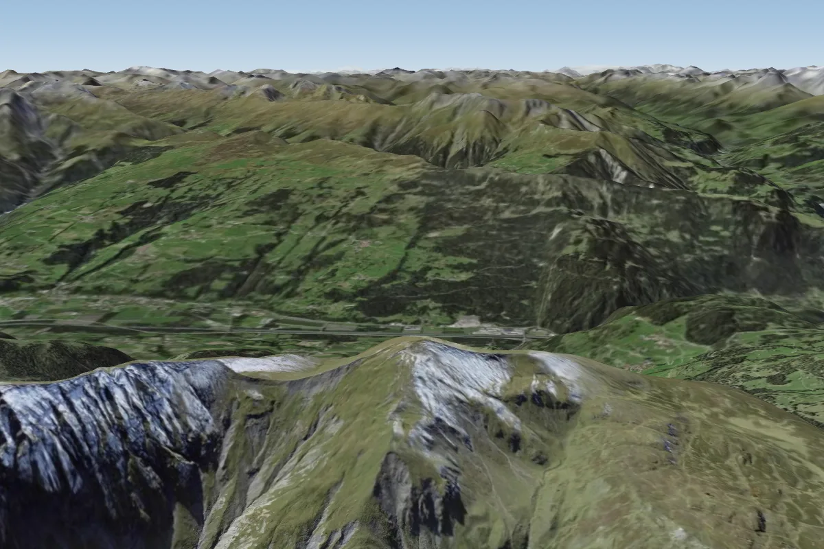 Fulhorn-24503 km S · Faces E, S, SWWorks in other winds
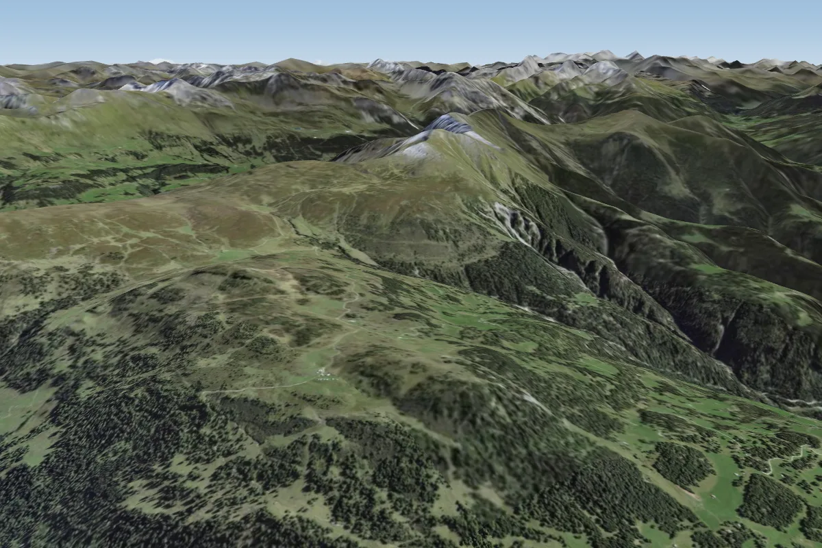 Feldis - Mutta -19803 km W · Faces SW–NWWorks in other winds
 Alp Staetz-21305 km SE · Faces E, S
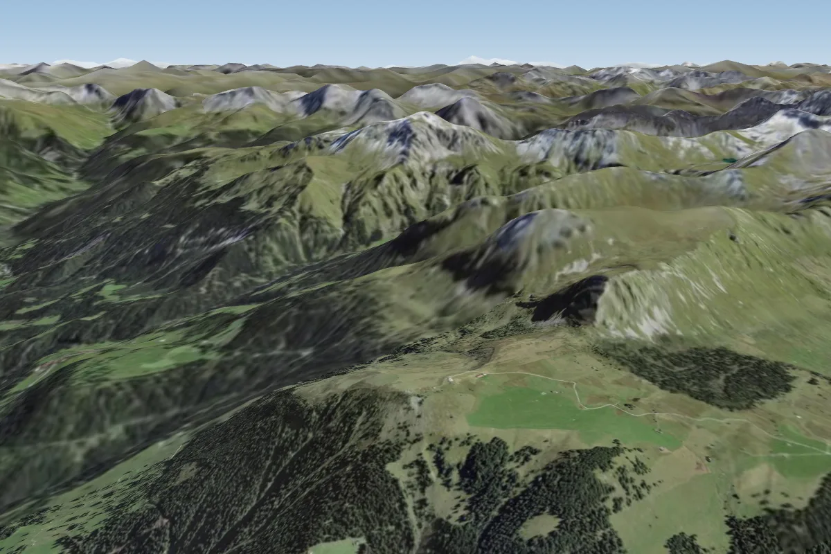 Churer Joch5 km E · Faces W
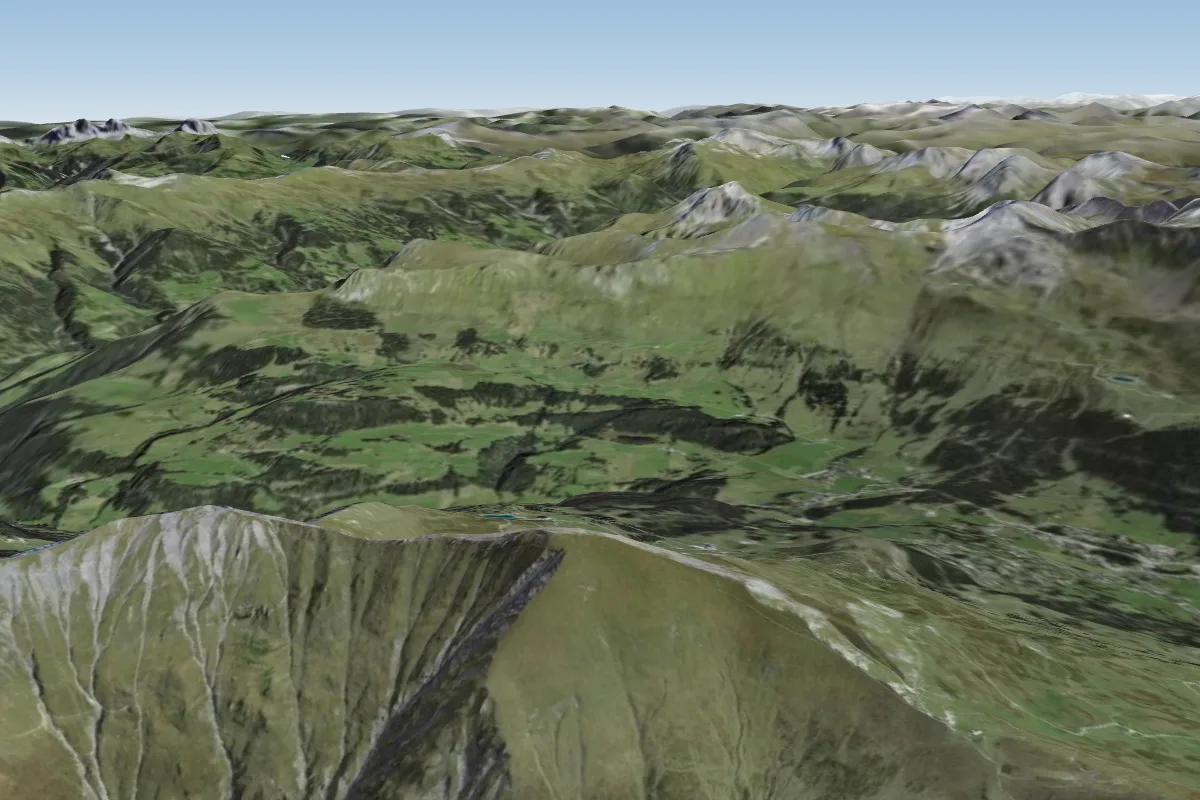 Staetzerhorn6 km S · Faces SWWorks in other winds
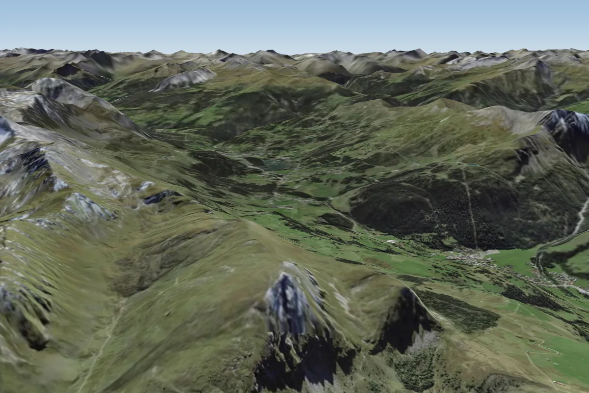 Guergaletsch -24006 km E · Faces NEWorks in other winds
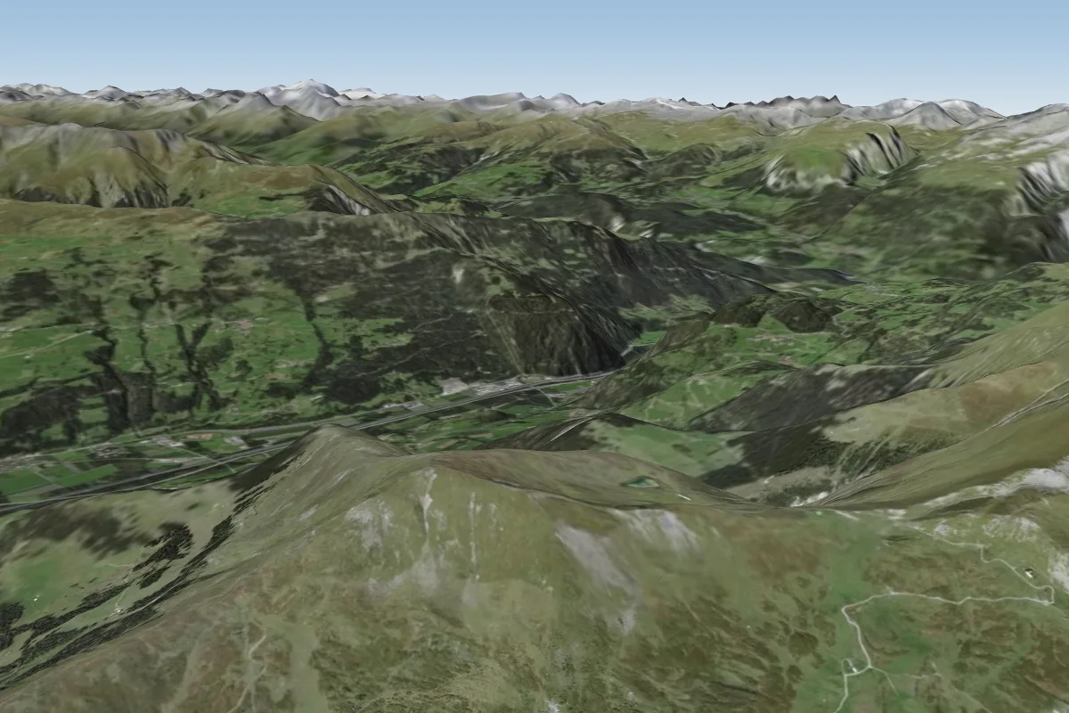 Piz Danis-24507 km S · Faces E, S, SWWorks in other winds
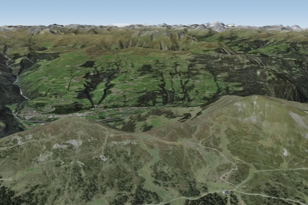 Piz Scalottas-21609 km S · Faces E, S
Pilot notes
No notes yet. Flown Dreibuendenstein-2120? Tell the next pilot what to expect.
Pilot notes on Dreibuendenstein-2120
Flying Dreibuendenstein-2120?
Takeoff, landing, rules, the hour by hour forecast and live wind are in the site details on the map.
Open site detailsSources
- ParaglidingEarth site record © ParaglidingEarth contributors (CC BY-SA)