Motta Naluns (Schuls/ Scuol)
SE to S facing thermal site · 2,157 m takeoff · 834 m height gain
Overview
Motta Naluns (Schuls/ Scuol) is a mountain site in the Swiss Alps with a recorded launch elevation of 2,157 m. It works best in south-easterly and southerly winds, and can also work in easterly winds. Pilots fly it for thermal, using foot launch. It is recorded as suitable for cross-country flights.
- Great XC-flights possible: up and down the valley as well as (huge!) triangles into Italy/ Austria... Source: ParaglidingEarth
When to go
Flyable days per month in a typical year.
Flyable days for Motta Naluns (Schuls/ Scuol) are on the way. We are scoring ten years of weather for every site, month by month, against this site, its region and the sites around it.
Local weather notes
- Föhn! > Föhndiagramm: http://www.meteocentrale.ch/de/wetter/foehn-und-bise/foehn.html North winds can made launch impossible! Often sets in after 1200... Source: ParaglidingEarth
Getting there
Nearest airports
- BZO Bolzano Airport89 km
- ACH Sankt Gallen Altenrhein Airport92 km
- INN Innsbruck Airport95 km
Where to stay
The nearest towns, for a bed, food and a lift to takeoff.
- Glurns - Glorenza27 km awayBooking.comAirbnb
- Livigno32 km awayBooking.comAirbnb
- Davos34 km awayBooking.comAirbnb
Things to do
For the days the wind is wrong: places worth a visit within 10 km of Motta Naluns (Schuls/ Scuol).
 Piz MinschunOutdoors · 3.2 km awayMountain in Switzerland
 Tarasp CastleCulture · 3.8 km awayCastle in Switzerland
 Lai da TaraspOutdoors · 4 km awayLake in the Grisons, Switzerland
 Lai NairOutdoors · 4.1 km awayLake in the Grisons, Switzerland
 Piz TasnaOutdoors · 5.4 km awayMountain in Switzerland
 Steinsberg Castle (Graubünden)Culture · 6.7 km awayRuined castle in Switzerland
 Piz AjüzOutdoors · 7.1 km awayMountain in Switzerland
 Piz LischanaOutdoors · 7.2 km awayMountain in Switzerland
Flying nearby
See them on the map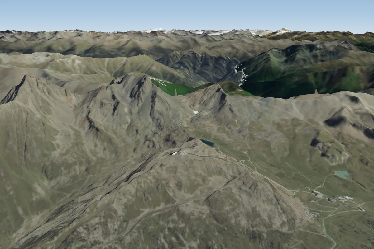 Pardatschgrat - Idjoch -Greitspitze >> Silvretta20 km NPossible XC from here on a S day, 20 km downwind
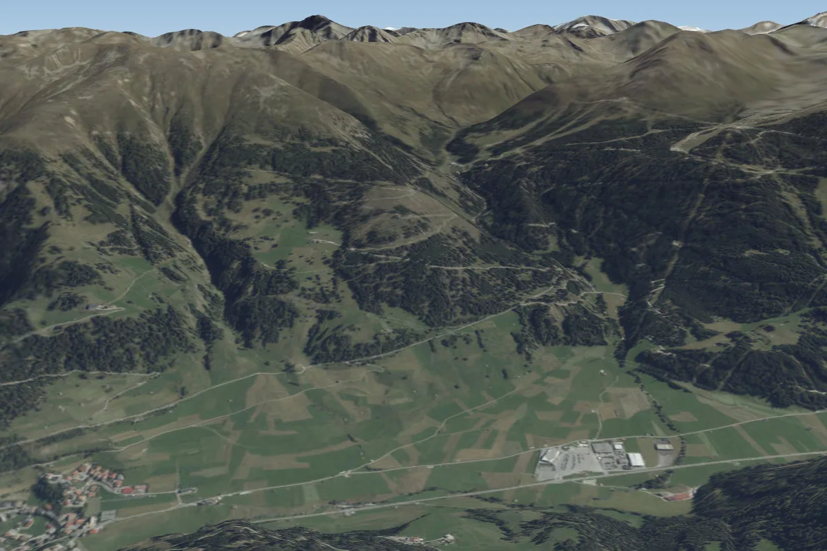 Nauders "Stables Hütte"20 km E
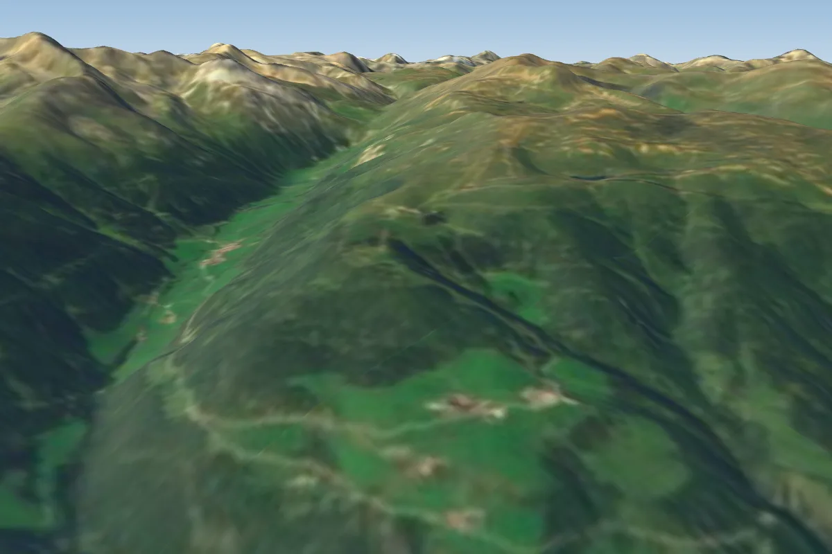 Watles - Praemajur22 km SE · Faces SE–S
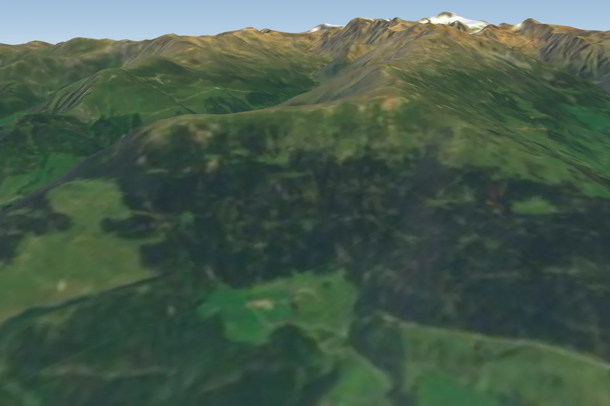 Mals/ Malles27 km SE
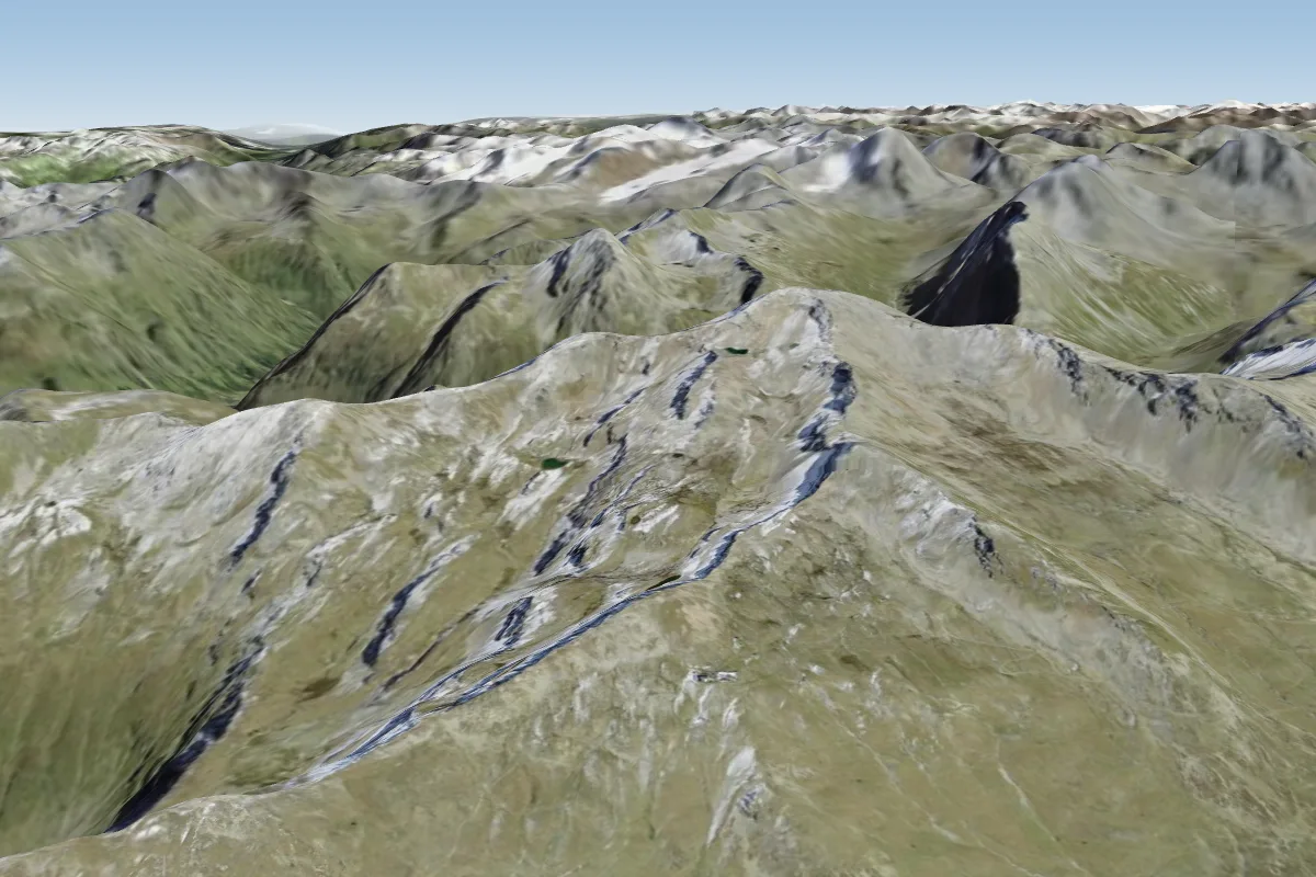 Pischa27 km W · Faces SWWorks in other winds
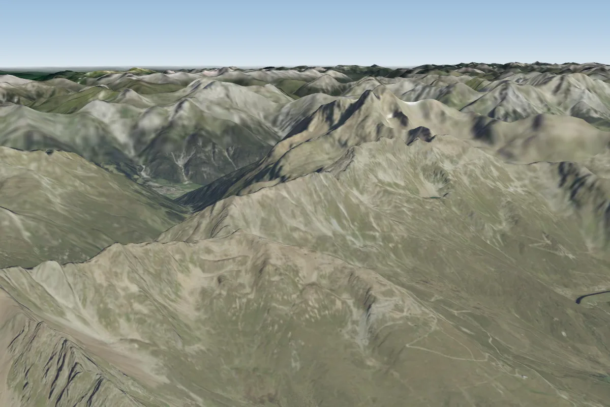 Kappl30 km NPossible XC from here on a S day, 30 km downwind
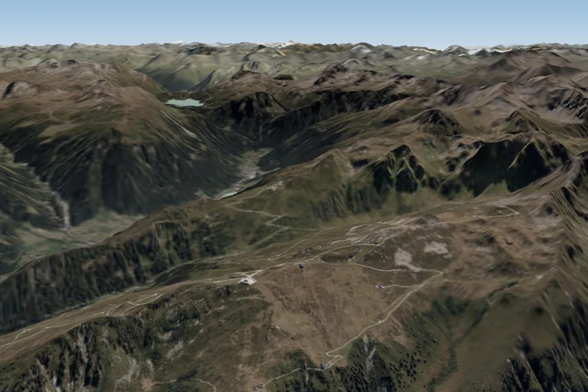 Silvretta Nova, Gampabing, St. Gallenkirch30 km NWPossible XC from here on a SE day, 30 km downwind
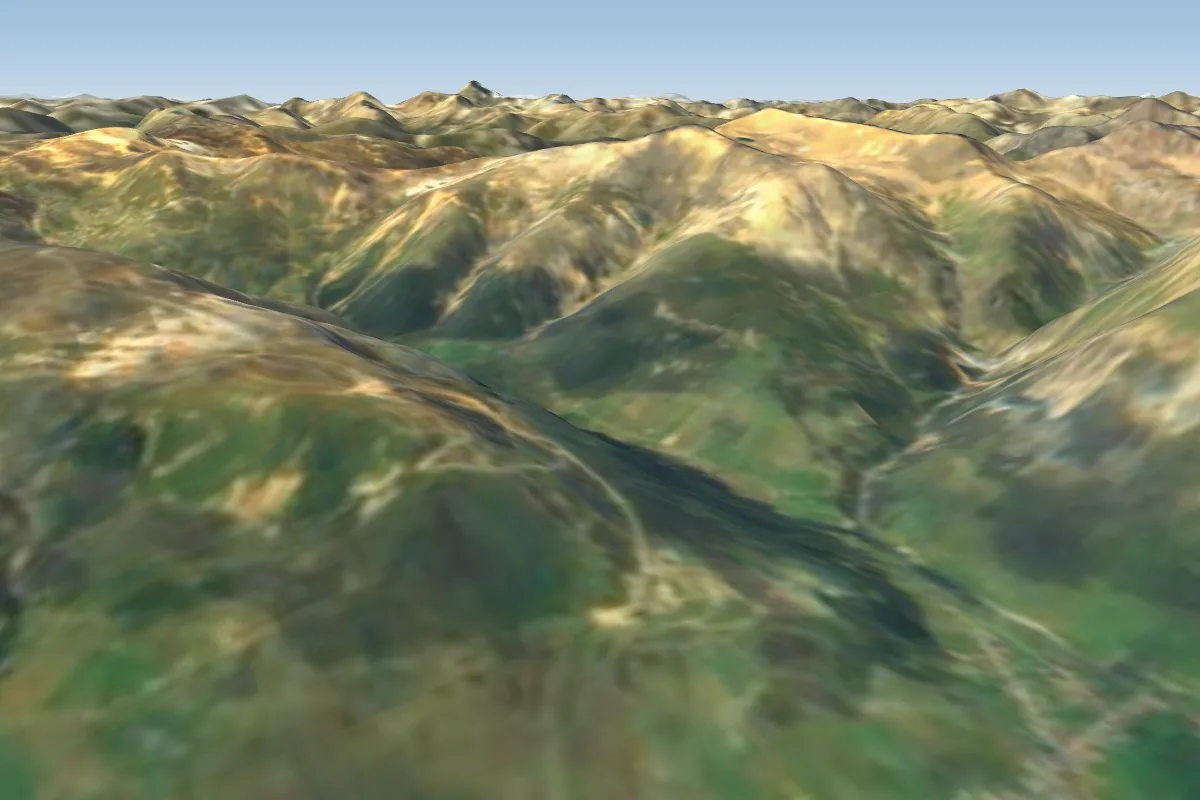 Livigno32 km S · Faces NE–SEWorks in other winds
More paragliding sites near Motta Naluns (Schuls/ Scuol)
- Mottolino 33 km away
Pilot notes
No notes yet. Flown Motta Naluns (Schuls/ Scuol)? Tell the next pilot what to expect.
Pilot notes on Motta Naluns (Schuls/ Scuol)
Flying Motta Naluns (Schuls/ Scuol)?
Takeoff, landing, rules, the hour by hour forecast and live wind are in the site details on the map.
Open site detailsSources
- ParaglidingEarth site record © ParaglidingEarth contributors (CC BY-SA)