Piz di Renten (Cima Croce)
S to W facing ridge site · 2,122 m takeoff · 1,803 m height gain
Overview
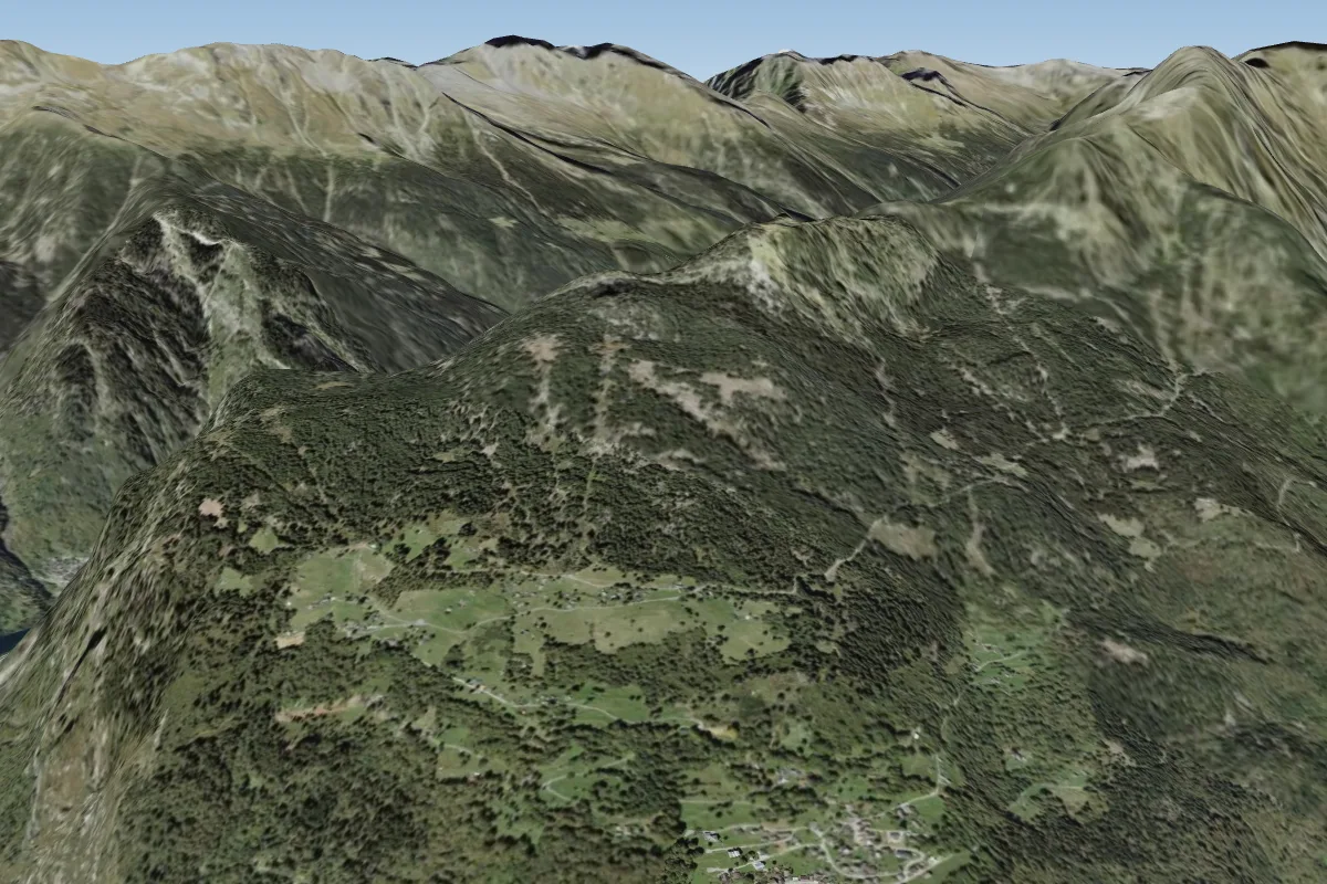
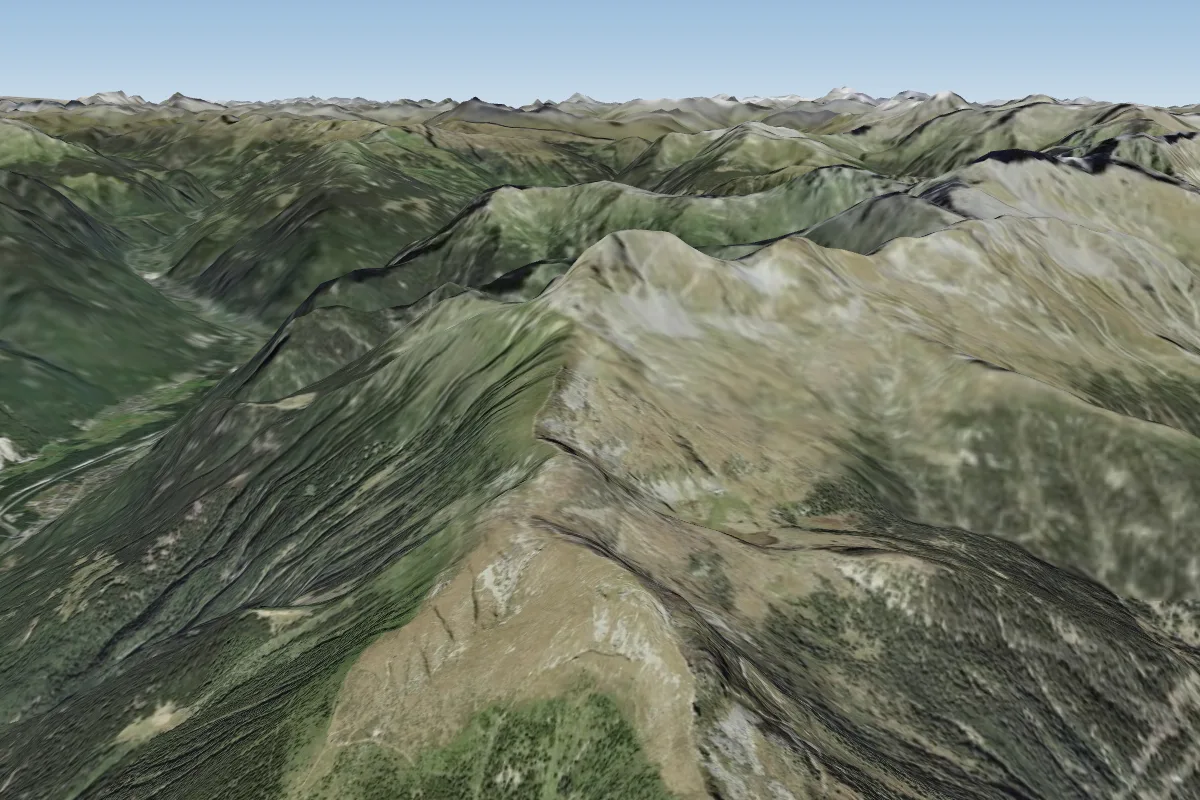
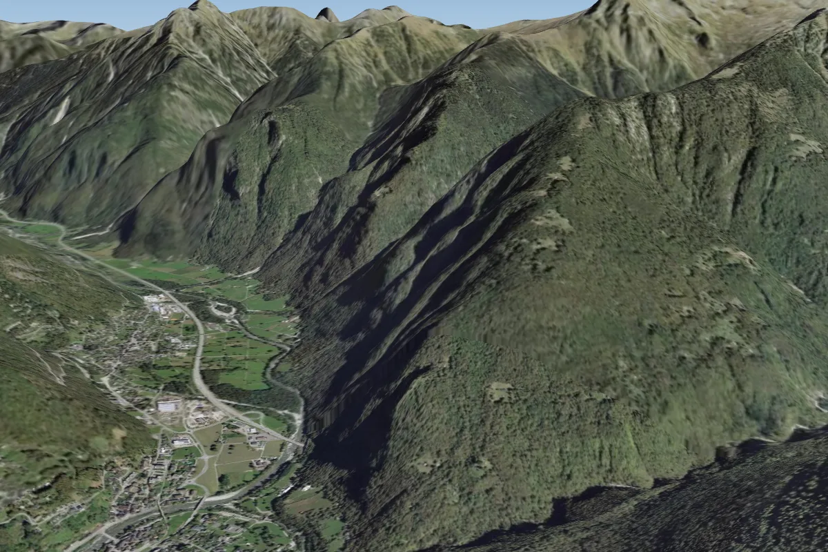
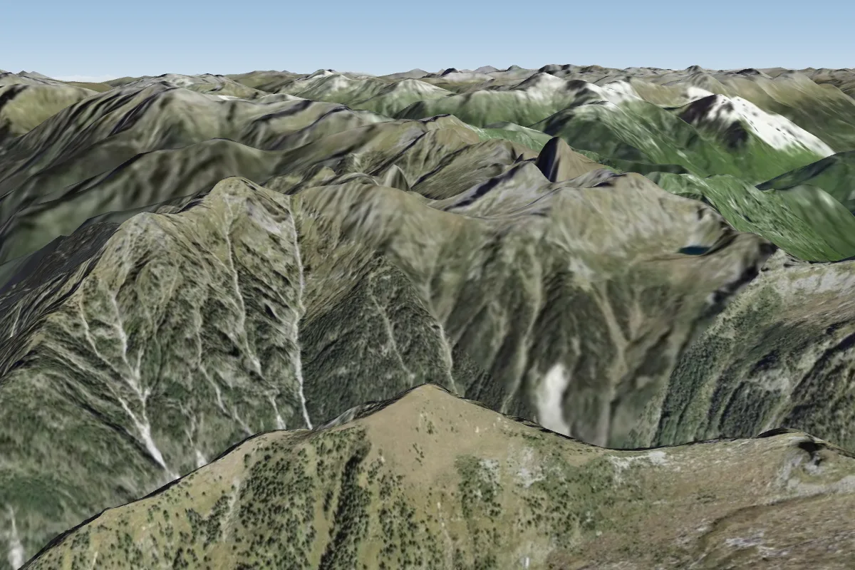
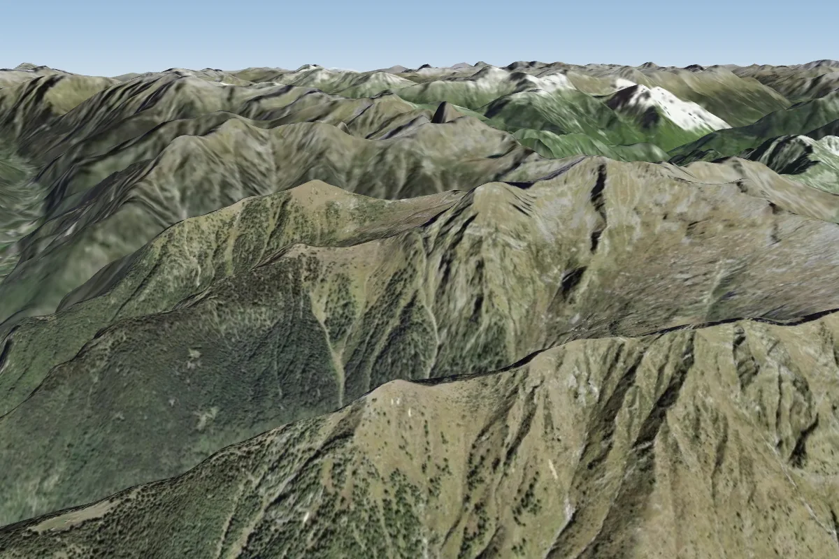
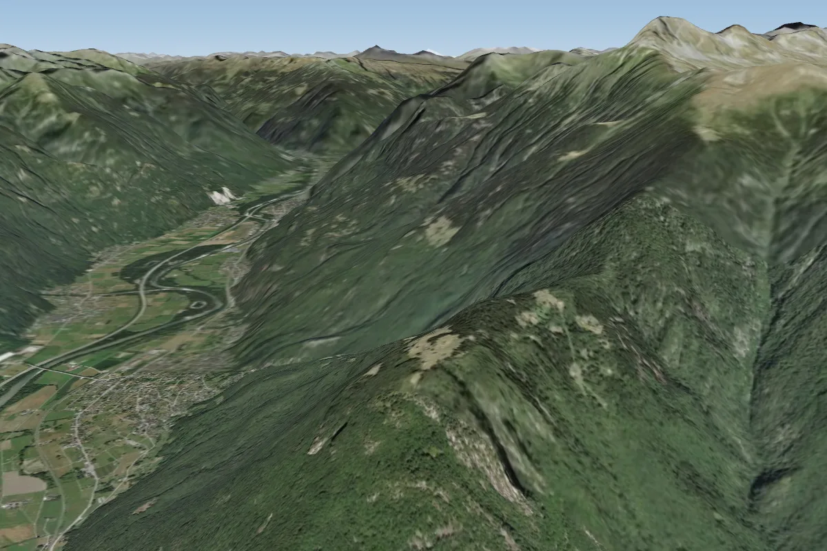
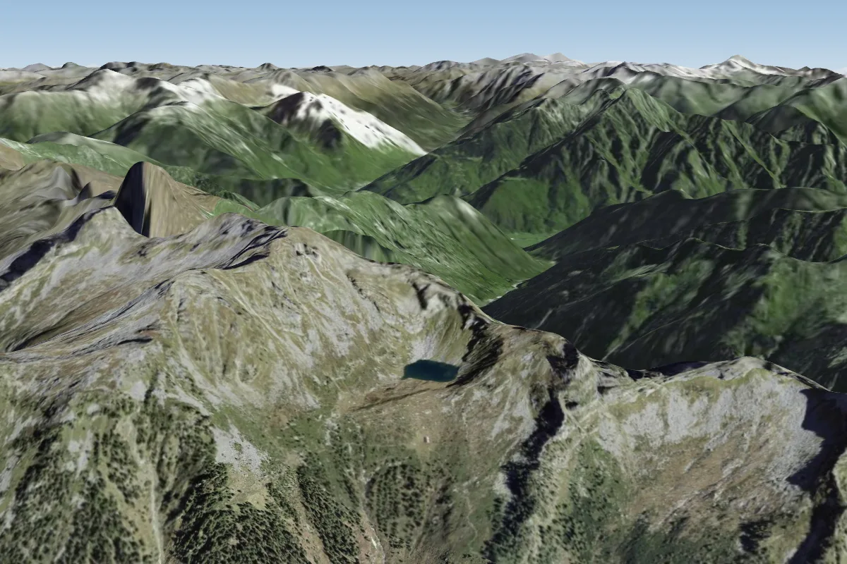
Piz di Renten (Cima Croce) is a mountain site in the Swiss Alps with a recorded launch elevation of 2,122 m. It works best in southerly, south-westerly and westerly winds. Pilots fly it for ridge soaring and thermal, using foot launch.
When to go
Flyable days per month in a typical year.
Flyable days for Piz di Renten (Cima Croce) are on the way. We are scoring ten years of weather for every site, month by month, against this site, its region and the sites around it.
Local weather notes
- Flyable by normal alpine southend conditions. If you don't know what do to / whether to go or not, please contact us! Source: ParaglidingEarth
Getting there
Nearest airports
- LUG Lugano Airport37 km
- MXP Milan Malpensa International Airport80 km
- BGY Il Caravaggio International Airport82 km
Where to stay
The nearest towns, for a bed, food and a lift to takeoff.
- Bellinzona15 km awayBooking.comAirbnb
- Chiavenna20 km awayBooking.comAirbnb
- Colico25 km awayBooking.comAirbnb
Things to do
For the days the wind is wrong: places worth a visit within 10 km of Piz di Renten (Cima Croce).
 Norantola CastleCulture · 2.7 km awayRuined castle in Switzerland
 Santa Maria in Calanca CastleCulture · 3.3 km awayTower in Switzerland
 Torre FiorenzanaCulture · 4.7 km awayFortified tower of Grono (GR)
 Val CalancaOutdoors · 5.2 km awayValley of the Swiss Alps
 Pala CastleCulture · 6.6 km awayTower in Switzerland
 Pizzo di ClaroOutdoors · 6.8 km awayMountain in Switzerland
 Pizzo di CampedellOutdoors · 7.1 km awayMountain of the Lepontine Alps
 Torent AltoOutdoors · 8.1 km awayMountain in Switzerland
Flying nearby
See them on the map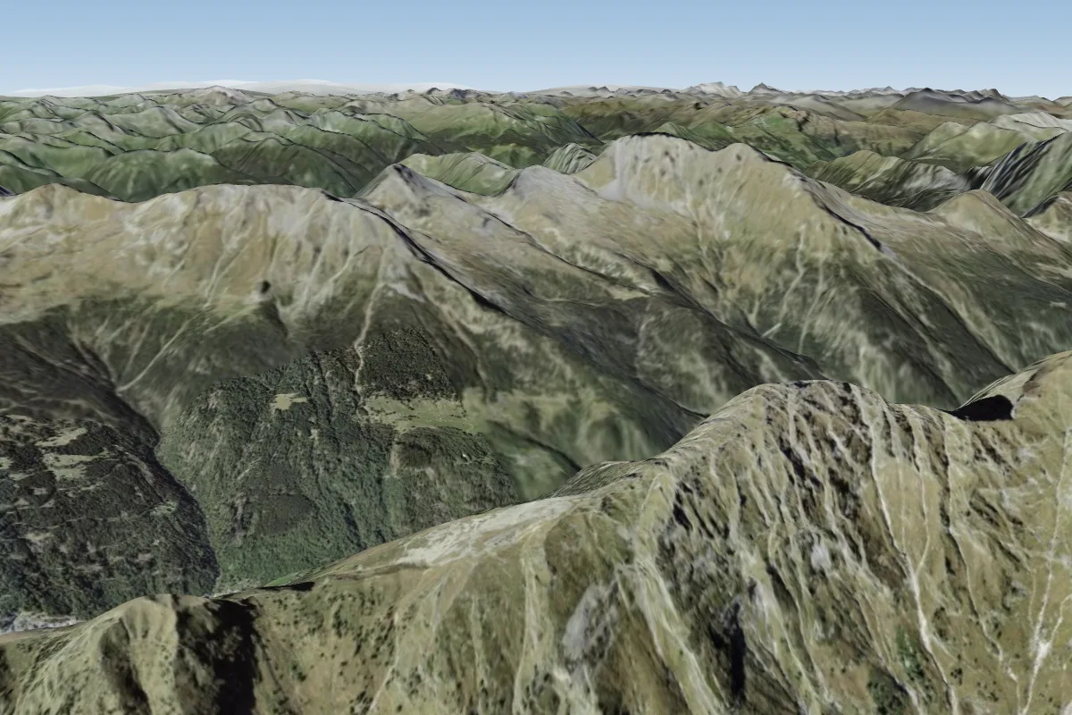
Pilot notes
No notes yet. Flown Piz di Renten (Cima Croce)? Tell the next pilot what to expect.
Pilot notes on Piz di Renten (Cima Croce)
Flying Piz di Renten (Cima Croce)?
Takeoff, landing, rules, the hour by hour forecast and live wind are in the site details on the map.
Open site detailsSources
- ParaglidingEarth site record © ParaglidingEarth contributors (CC BY-SA)