Piz Lagalb-2900
SW to NW facing site · 2,900 m takeoff
Overview
Piz Lagalb-2900 is a flying site in the Swiss Alps with a recorded launch elevation of 2,900 m. It works best in south-westerly, westerly and north-westerly winds.
- - mostly used in winter for dynamic soaring Source: ParaglidingEarth
When to go
Flyable days per month in a typical year.
Flyable days for Piz Lagalb-2900 are on the way. We are scoring ten years of weather for every site, month by month, against this site, its region and the sites around it.
Getting there
Nearest airports
- BGY Il Caravaggio International Airport88 km
- LUG Lugano Airport98 km
- BZO Bolzano Airport100 km
Where to stay
The nearest towns, for a bed, food and a lift to takeoff.
- Livigno15 km awayBooking.comAirbnb
- St. Moritz16 km awayBooking.comAirbnb
- Tirano27 km awayBooking.comAirbnb
Things to do
For the days the wind is wrong: places worth a visit within 10 km of Piz Lagalb-2900.
 Piz LagalbOutdoors · 0.3 km awayMountain in Switzerland
 Val MinorOutdoors · 1.2 km awayValley in Graubünden, Switzerland
 Lej Nair (Bernina)Outdoors · 1.8 km awayLake in the Grisons, Switzerland
 Bernina PassOutdoors · 2.2 km awayMountain pass in Graubünden, Switzerland
 Piz MinorOutdoors · 2.5 km awayMountain in Switzerland
 Piz Alv (Livigno Alps)Outdoors · 2.7 km awayMountain in Switzerland
 Livigno PassOutdoors · 3.2 km awayMountain pass in the Alps
 Sassal MasonOutdoors · 4.4 km awayMountain in Switzerland
Flying nearby
See them on the map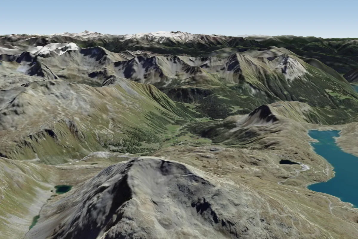 Piz Lagalb-29000 km N · Faces NW
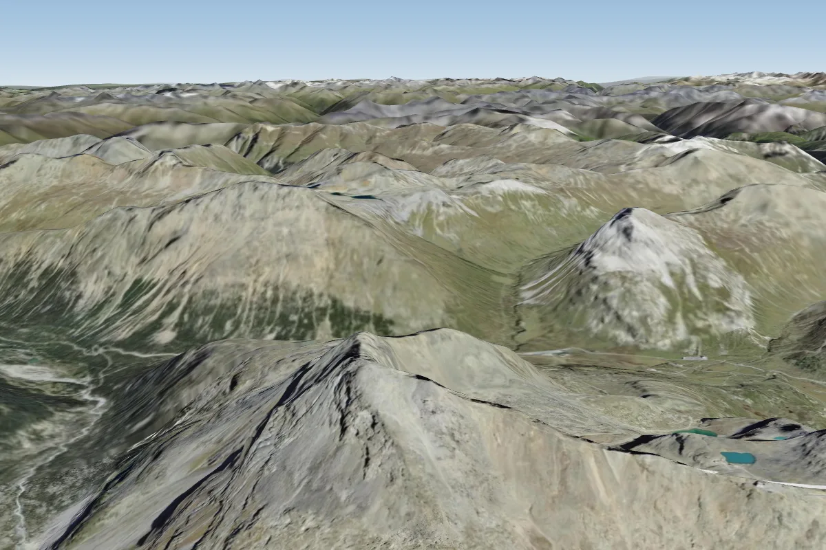 Munt Pers (Diavolezza/ Pontresina)5 km W · Faces SW
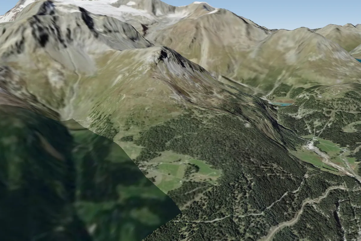 Stabli da Varuna9 km S · Faces SE–SWWorks in other winds
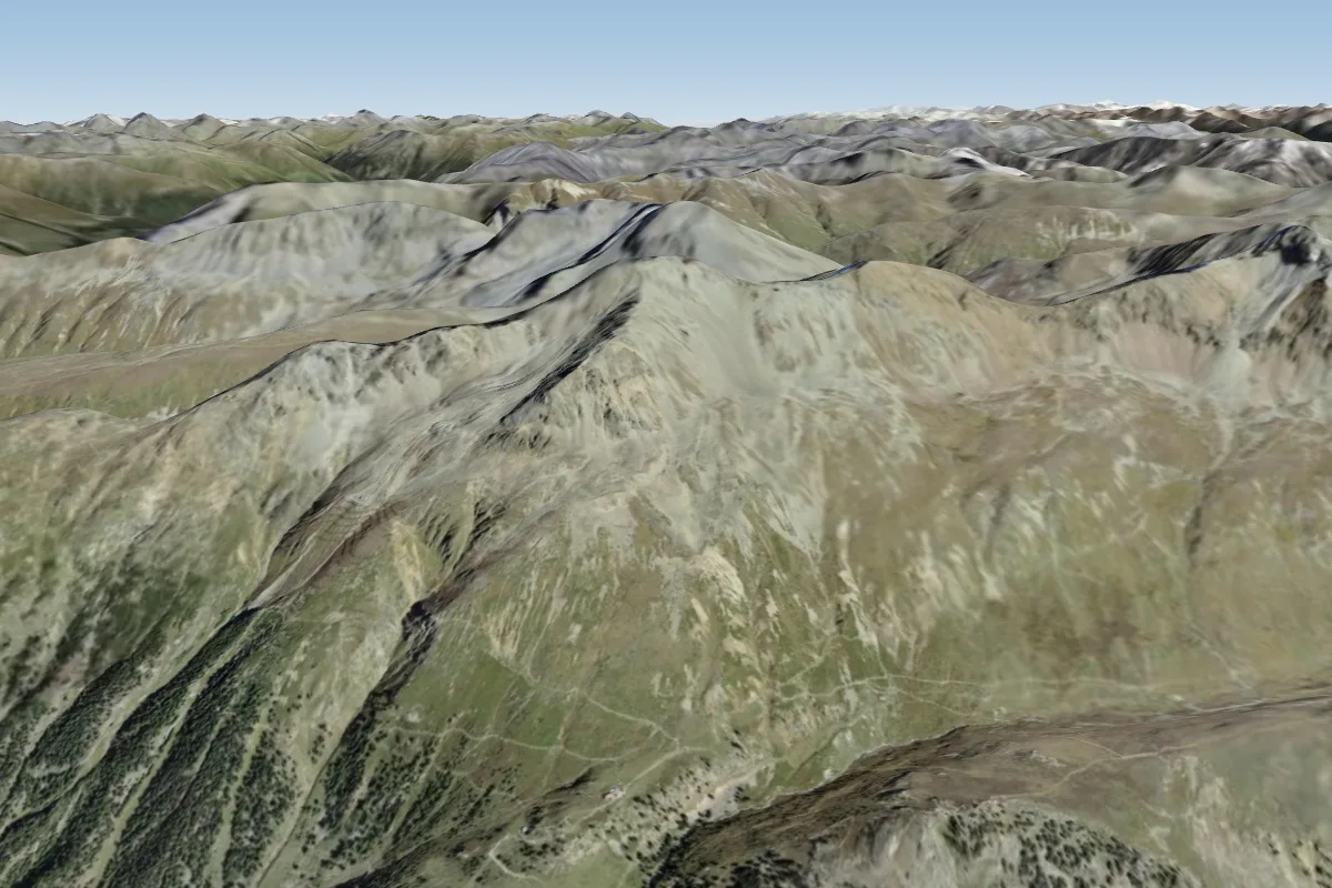 Alp Languard-255010 km NW · Faces SW
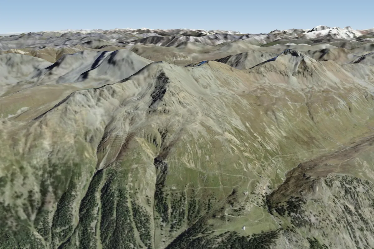 Alp Languard-242010 km NW · Faces SW
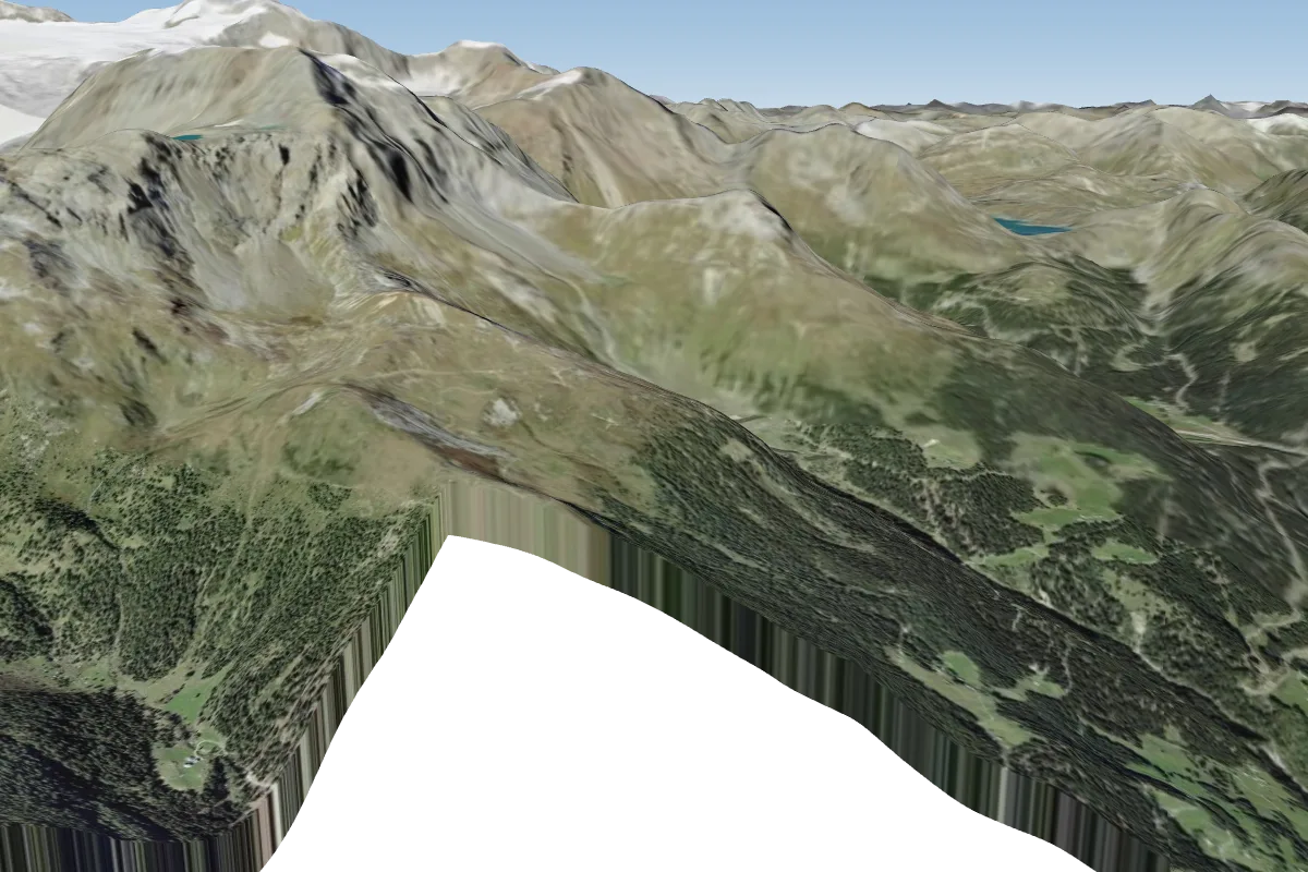 Somdoss11 km S
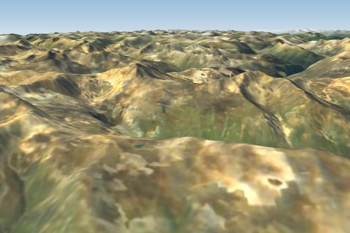 Carosello 3000 (Livigno)11 km NE · Faces NE–SEWorks in other winds
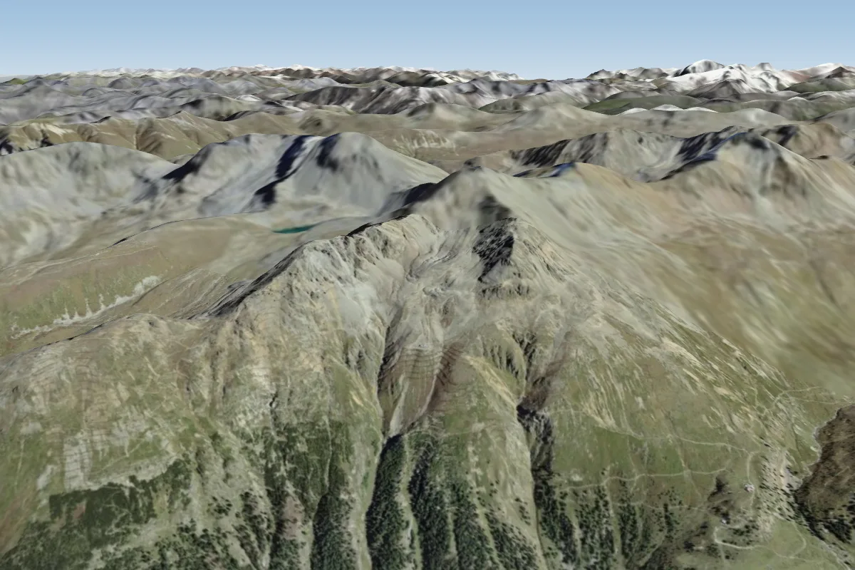 Las Sours11 km NW · Faces W
Pilot notes
No notes yet. Flown Piz Lagalb-2900? Tell the next pilot what to expect.
Pilot notes on Piz Lagalb-2900
Flying Piz Lagalb-2900?
Takeoff, landing, rules, the hour by hour forecast and live wind are in the site details on the map.
Open site detailsSources
- ParaglidingEarth site record © ParaglidingEarth contributors (CC BY-SA)