Deltaclub Jungfrau-Tächi Grindelwald
Manages the site
Launch use is free; the club operates the launch and pilots must follow its instructions. The club website carries the Grindelwald flying-area rules, DABS link, weather station and webcams.
Site · 1,980 m takeoff · 1,030 m height gain
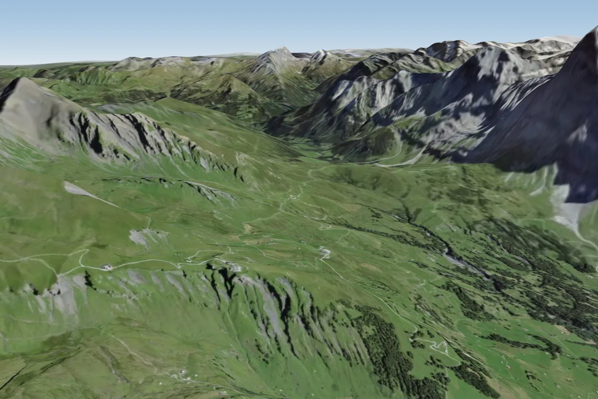
Waldspitz is a flying site in the Swiss Alps with a recorded launch elevation of 1,980 m. No launch directions are recorded yet.
Waldspitz is a paraglider and hang-glider launch above Grindelwald (Bernese Oberland, Switzerland), on the slope below First, operated free of charge by the local club Deltaclub Jungfrau-Tächi Grindelwald.
Manages the site
Launch use is free; the club operates the launch and pilots must follow its instructions. The club website carries the Grindelwald flying-area rules, DABS link, weather station and webcams.
School
Local tandem operator; co-operates the First launch with the club (SHV board).
School
Local flying school; co-operates the First launch with the club (SHV board).
Flyable days per month in a typical year.
Flyable days for Waldspitz are on the way. We are scoring ten years of weather for every site, month by month, against this site, its region and the sites around it.
The nearest towns, for a bed, food and a lift to takeoff.
For the days the wind is wrong: places worth a visit within 10 km of Waldspitz.
 First (Grindelwald)Outdoors · 1.3 km awaySummit of the Schwarzhorn in Switzerland
 BachalpseeOutdoors · 2.5 km awayLake in Bernese Highlands, Switzerland
 FaulhornOutdoors · 4.2 km awayMountain of the Bernese Alps
 Schwarzhorn (Bernese Alps)Outdoors · 4.6 km awayMountain of the Bernese Alps
 WildgärstOutdoors · 5.1 km awayMountain of the Bernese Alps
 Gleckstein HutOutdoors · 5.1 km awayMountain hut near Grindelwald, Switzerland
 Grosse ScheideggOutdoors · 5.4 km awayMountain pass in the Bernese Alps
 MettenbergOutdoors · 5.5 km awayMountain in Switzerland
No notes yet. Flown Waldspitz? Tell the next pilot what to expect.
Takeoff, landing, rules, the hour by hour forecast and live wind are in the site details on the map.
Open site details