Cirium (Kourion)
SE to W facing ridge site · 72 m takeoff · 58 m height gain
Overview
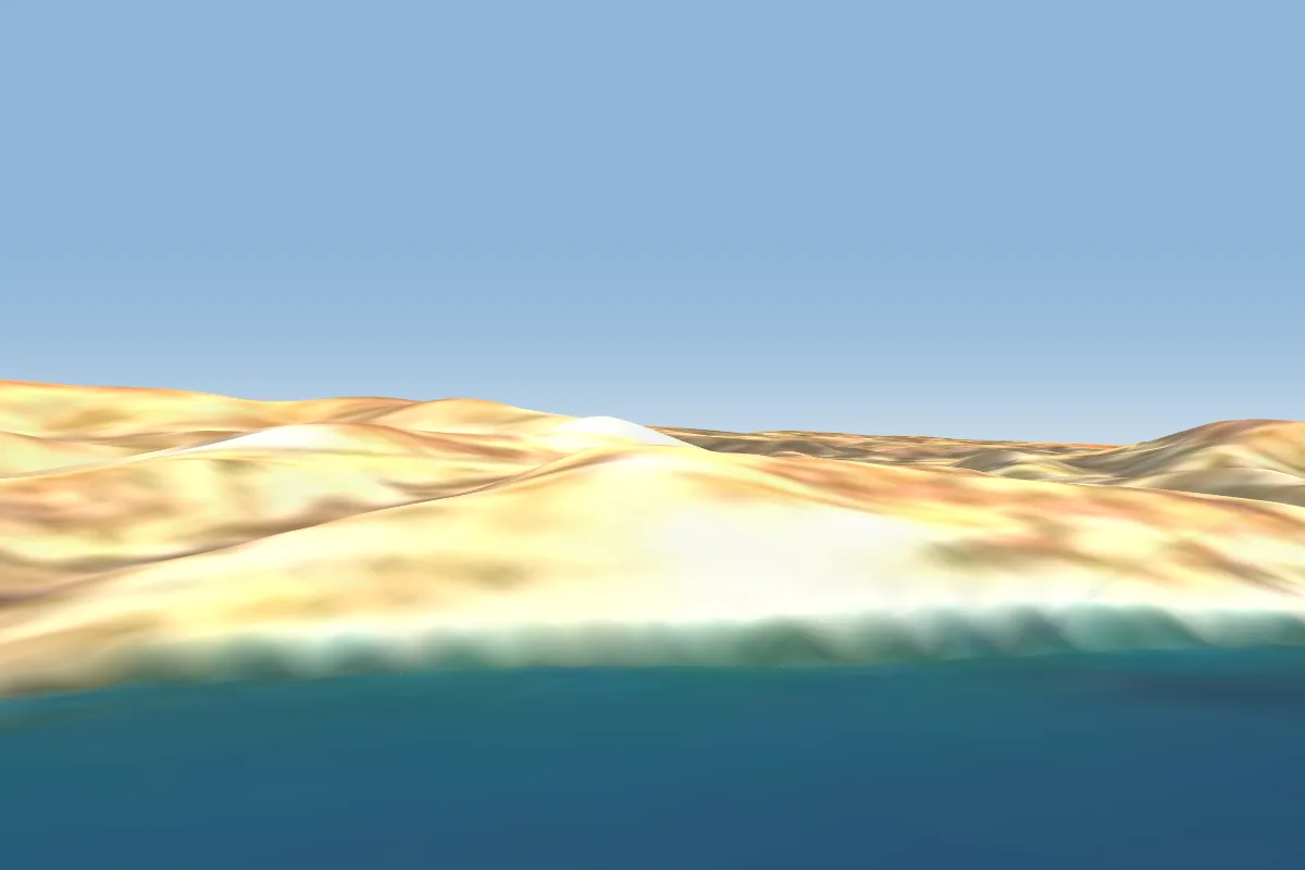
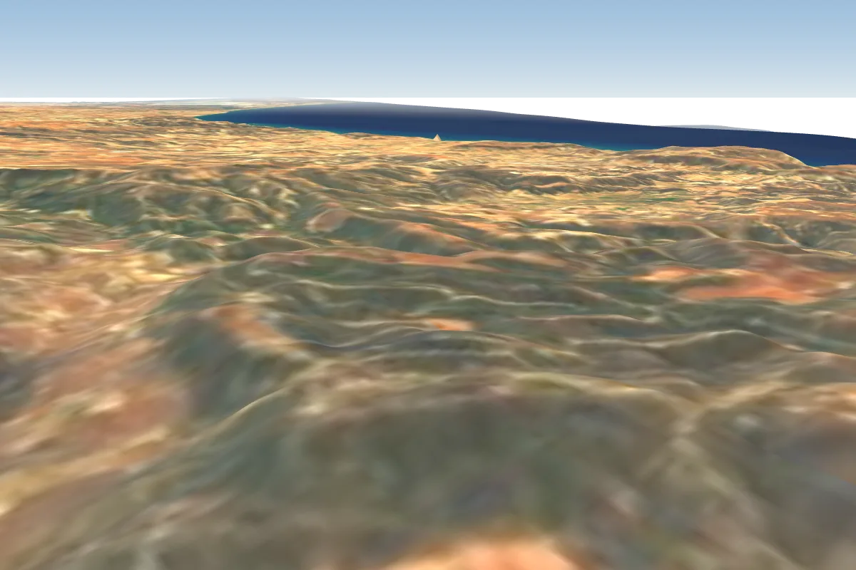
Cirium (Kourion) is a hill site in Cyprus with a recorded launch elevation of 72 m. It is recorded as workable in south-easterly, southerly, south-westerly and westerly winds. Pilots fly it for ridge soaring, using foot launch.
- Kourion (Curium) has been the main soaring site since the dawn of flying here. It is a short ridge located at the end of a long line of coastal cliffs that extend from Avdimou village eastward. Source: ParaglidingEarth
When to go
Flyable days per month in a typical year.
Flyable days for Cirium (Kourion) are on the way. We are scoring ten years of weather for every site, month by month, against this site, its region and the sites around it.
Local weather notes
- Take great care not to get blown back. The road, power lines and obvious rotor are real hazards, not to mention the antiquities sites. Sea breezes can start quickly and can catch you unaware. Source: ParaglidingEarth
Getting there
Nearest airports
- PFO Paphos International Airport37 km
- LCA Larnaca International Airport72 km
- ECN Ercan International Airport78 km
Where to stay
The nearest towns, for a bed, food and a lift to takeoff.
- Episkopi2 km awayBooking.comAirbnb
- Trachoni7 km awayBooking.comAirbnb
- Ypsonas8 km awayBooking.comAirbnb
Things to do
For the days the wind is wrong: places worth a visit within 10 km of Cirium (Kourion).


Flying nearby
See them on the map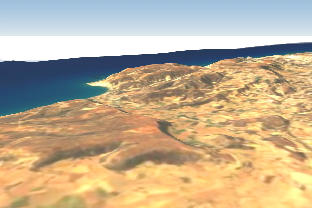
Pilot notes
No notes yet. Flown Cirium (Kourion)? Tell the next pilot what to expect.
Pilot notes on Cirium (Kourion)
Flying Cirium (Kourion)?
Takeoff, landing, rules, the hour by hour forecast and live wind are in the site details on the map.
Open site detailsSources
- ParaglidingEarth site record © ParaglidingEarth contributors (CC BY-SA)