Děvín
E to SE facing ridge site · 504 m takeoff · 182 m height gain
Overview
Děvín is a hill site in Czechia with a recorded launch elevation of 504 m. It works best in easterly and south-easterly winds. Pilots fly it for ridge soaring and thermal, using foot launch.
When to go
Flyable days per month in a typical year.
Flyable days for Děvín are on the way. We are scoring ten years of weather for every site, month by month, against this site, its region and the sites around it.
Local weather notes
- https://www.windguru.cz/station/1324 Source: ParaglidingEarth
Getting there
Nearest airports
- BRQ Brno-Tuřany Airport32 km
- VIE Vienna International Airport84 km
- BTS M. R. Štefánik Airport88 km
Where to stay
The nearest towns, for a bed, food and a lift to takeoff.
- Mikulov7 km awayBooking.comAirbnb
- Hustopeče10 km awayBooking.comAirbnb
- Velké Pavlovice13 km awayBooking.comAirbnb
Things to do
For the days the wind is wrong: places worth a visit within 10 km of Děvín.
 Mikulov HighlandsOutdoors · 0.8 km awayMountain range in the Czech Republic
 Dolní Věstonice (archaeological site)Culture · 1.2 km awayArchaeological site in the Czech Republic
 Sirotčí hrádekCulture · 2.6 km awayRuins of a Gothic castle in the Czech Republic
 Dietrichstein tombCulture · 6.8 km awayChurch building in Mikulov, Czech Republic
 Mikulov CastleCulture · 6.9 km awayCastle in Mikulov, Czech Republic
 Roman fort, MušovCulture · 7.2 km awayArchaeological site in Czechia
Flying nearby
See them on the map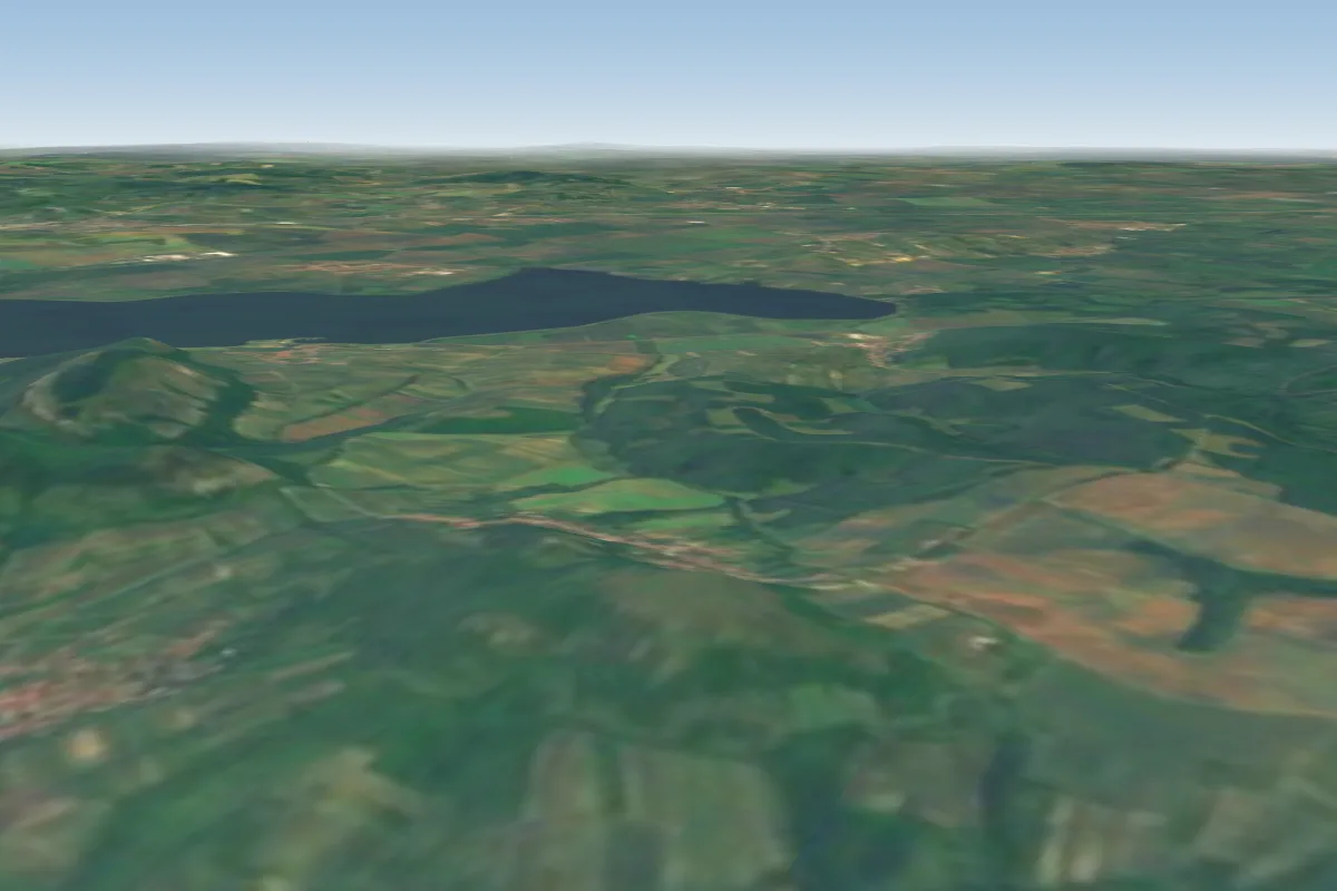 Stolova Hora3 km S · Faces SWWorks in other winds
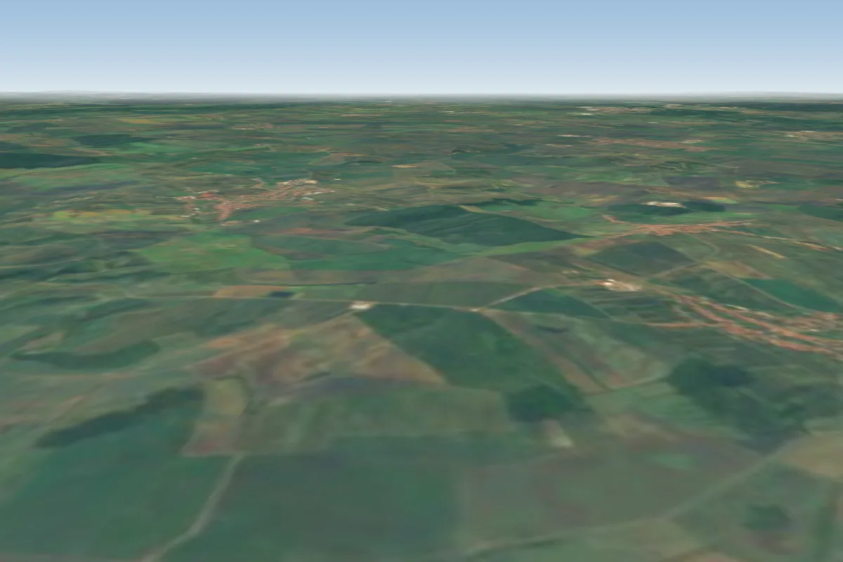 Kobylská skála21 km NE · Faces NWorks in other winds
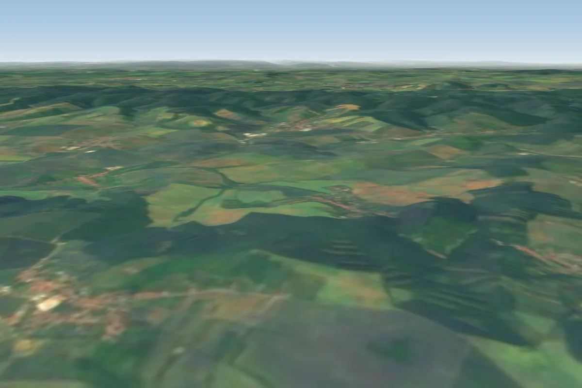 Strážovice34 km NE · Faces SWorks in other winds
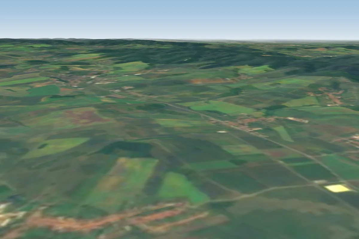 Nemcany38 km NE · Faces NWWorks in other winds
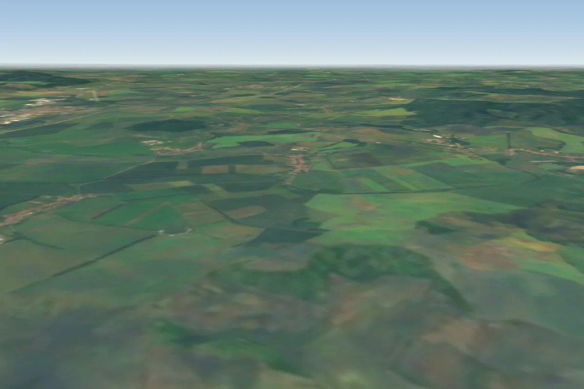 Větrník44 km NE · Faces S–SWWorks in other winds
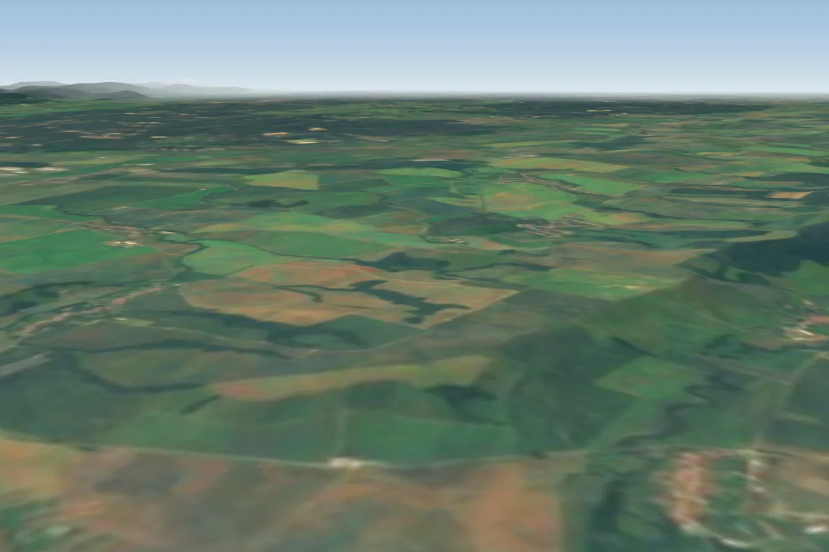 Havran52 km E · Faces N–NEWorks in other winds
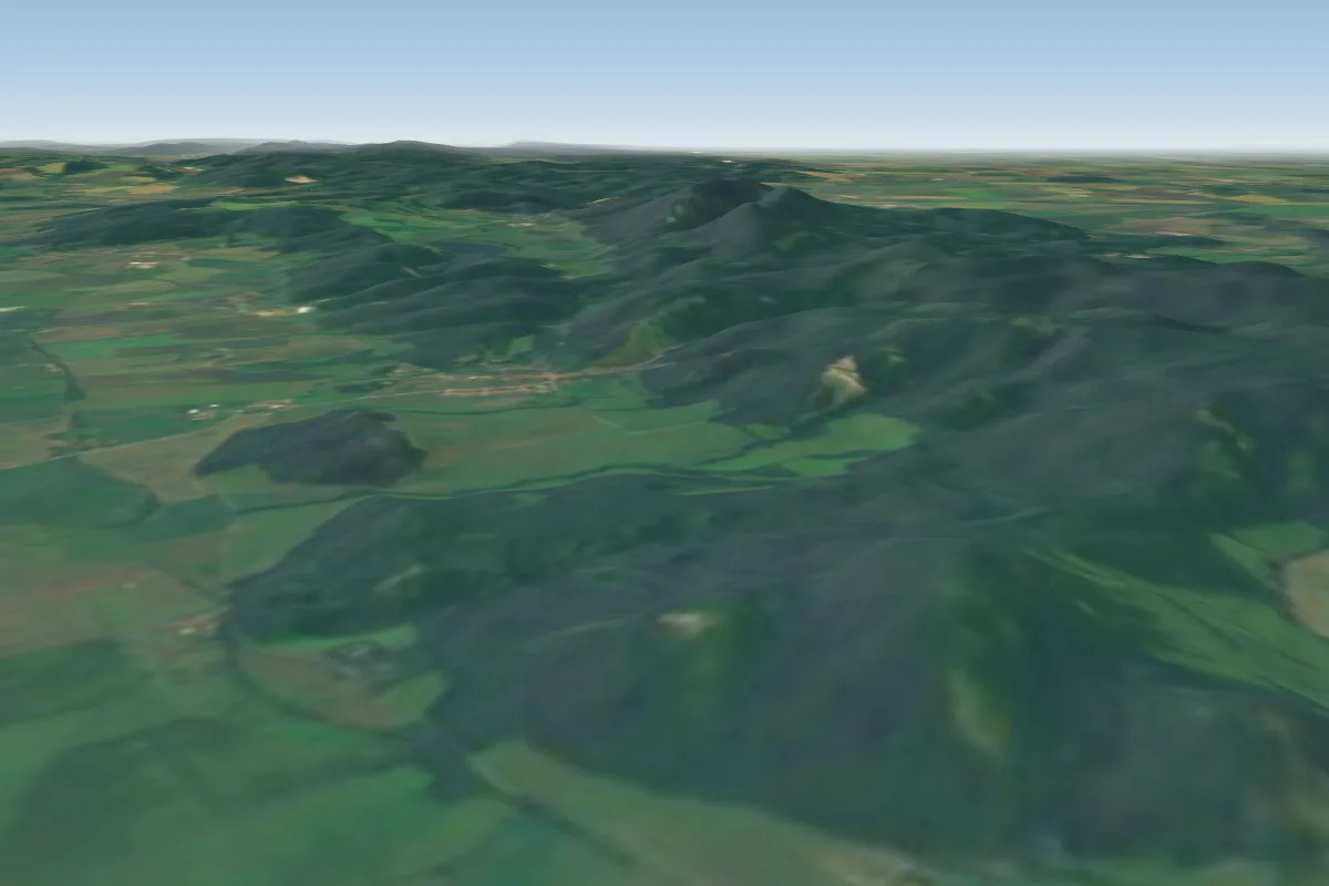 Plavecky hrad61 km SE · Faces SWWorks in other winds
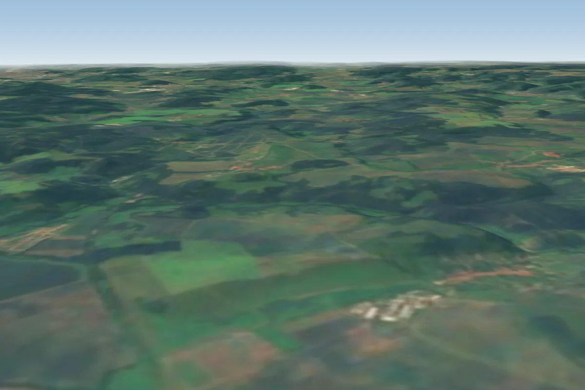 Bykovice B163 km N · Faces NWorks in other winds
Pilot notes
No notes yet. Flown Děvín? Tell the next pilot what to expect.
Pilot notes on Děvín
Flying Děvín?
Takeoff, landing, rules, the hour by hour forecast and live wind are in the site details on the map.
Open site detailsSources
- ParaglidingEarth site record © ParaglidingEarth contributors (CC BY-SA)