Vogelsang
West-facing site · 1,395 m takeoff · 591 m height gain
Overview
Vogelsang is a flying site in the German Alps with a recorded launch elevation of 1,395 m. It works best in westerly winds, and can also work in south-westerly and north-westerly winds.
- imported from http://xc.dhv.de Source: ParaglidingEarth
When to go
Flyable days per month in a typical year.
Flyable days for Vogelsang are on the way. We are scoring ten years of weather for every site, month by month, against this site, its region and the sites around it.
Getting there
Nearest airports
- INN Innsbruck Airport69 km
- SZG Salzburg Airport74 km
- MUC Munich Airport79 km
Where to stay
The nearest towns, for a bed, food and a lift to takeoff.
- Bad Feilnbach12 km awayBooking.comAirbnb
- Kufstein13 km awayBooking.comAirbnb
- Raubling15 km awayBooking.comAirbnb
Things to do
For the days the wind is wrong: places worth a visit within 10 km of Vogelsang.
 Großer TraithenOutdoors · 1.7 km awayGerman Mountain in the Eastern Alps
 SeebergkopfOutdoors · 3 km awayMountain in Bavaria, Germany
 WildalpjochOutdoors · 3.9 km awayMountain in Bavaria, Germany
 KaserwandOutdoors · 4 km awayMountain in Bavaria, Germany
 Wendelstein (mountain)Outdoors · 4.6 km awayMountain in Germany
 Soin (mountain)Outdoors · 4.7 km awayMountain in Bavaria, Germany
 TrainsjochOutdoors · 5.7 km awayMountain in Austria and Germany
 Ursprung PassOutdoors · 6 km awayMountain pass in Austria and Germany
Flying nearby
See them on the map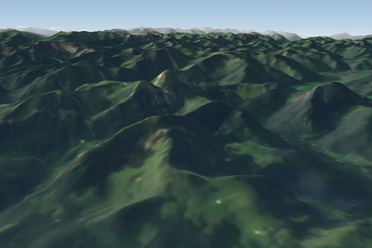 Rampoldplatte7 km N · Faces NE, E, WWorks in other winds
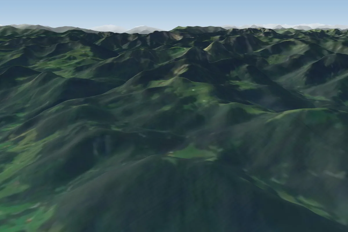 Sulzberg9 km N · Faces NEWorks in other winds
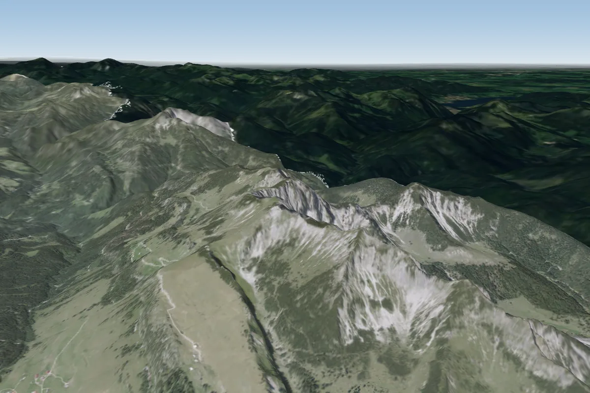 Hinteres Sonnwendjoch10 km SW
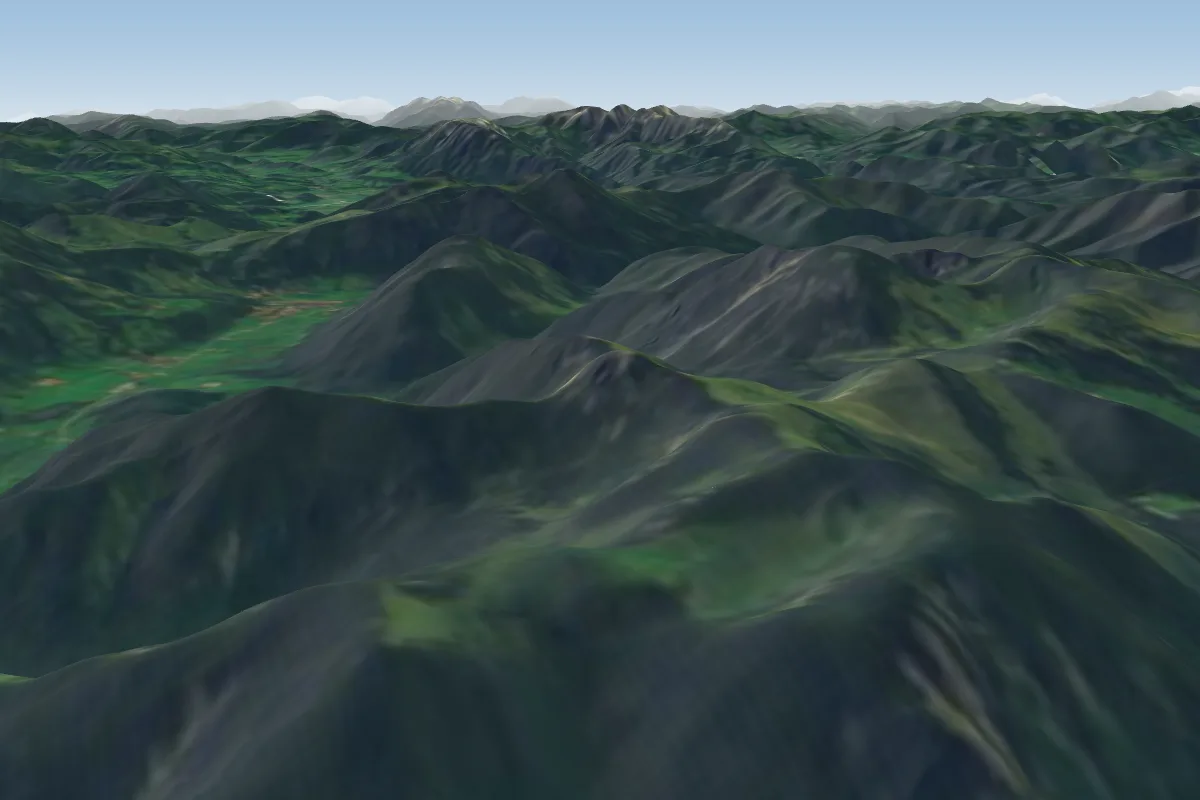 Jägerkamp/Nagelspitz10 km W · Faces E, WWorks in other winds
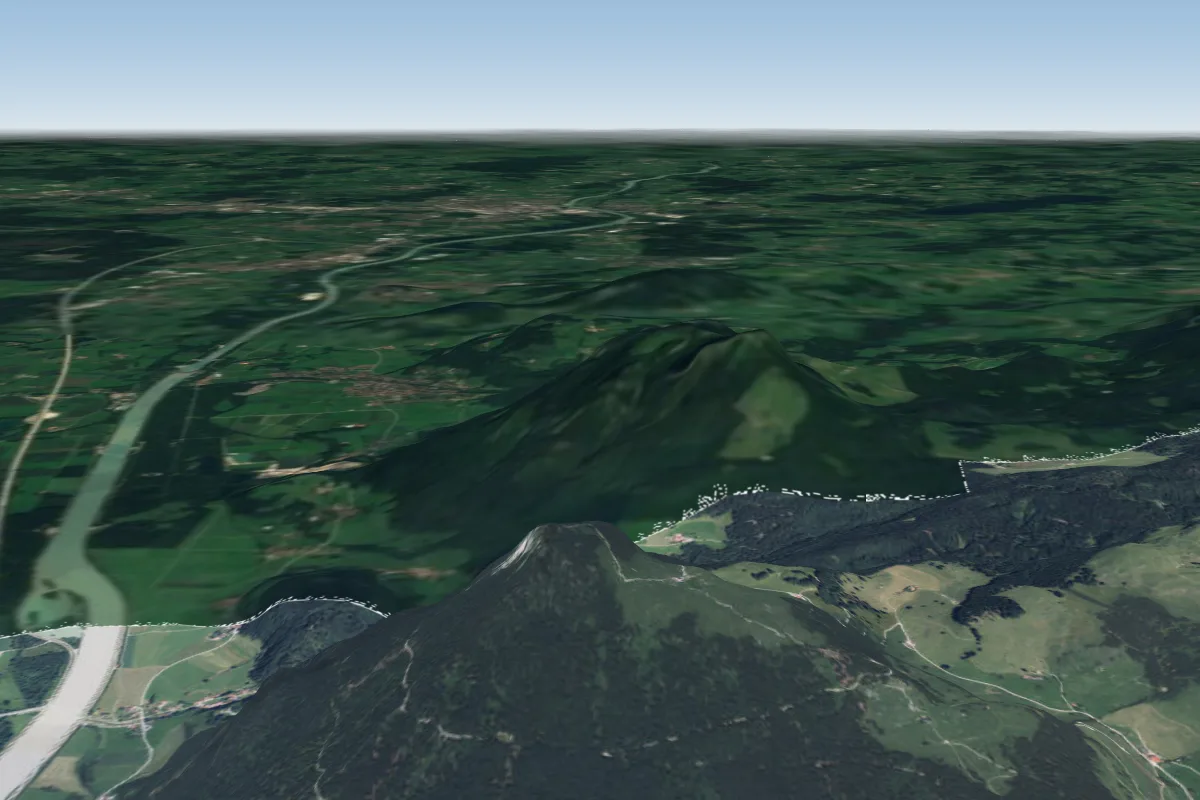 Kranzhorn12 km E
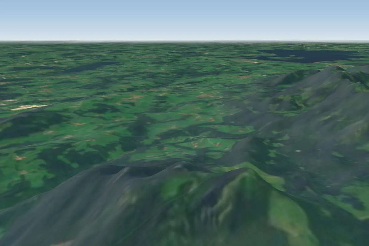 Heuberg13 km NE · Faces SW
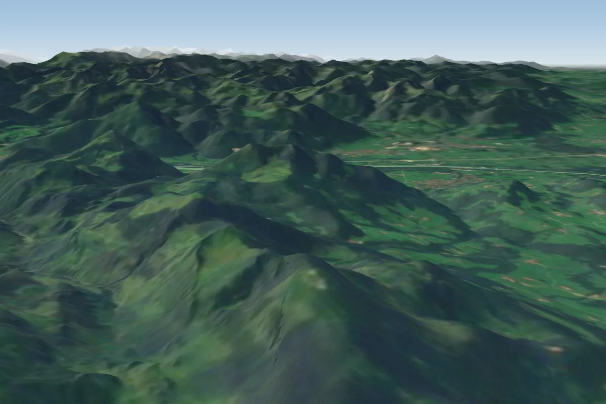 Hochries18 km NE · Faces W–NEPossible XC from here on a W day, 18 km downwindWorks in other winds
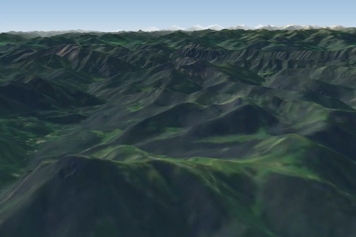 Wallberg19 km W · Faces W–NW
Pilot notes
No notes yet. Flown Vogelsang? Tell the next pilot what to expect.
Pilot notes on Vogelsang
Flying Vogelsang?
Takeoff, landing, rules, the hour by hour forecast and live wind are in the site details on the map.
Open site detailsSources
- ParaglidingEarth site record © ParaglidingEarth contributors (CC BY-SA)