Champvent
Site · 596 m takeoff
Overview
Champvent is a flying site in France with a recorded launch elevation of 596 m. No launch directions are recorded yet.
When to go
Flyable days per month in a typical year.
Flyable days for Champvent are on the way. We are scoring ten years of weather for every site, month by month, against this site, its region and the sites around it.
Getting there
Nearest airports
- LYS Lyon Saint-Exupéry Airport74 km
- DLE Dole Tavaux Airport101 km
- GVA Geneva International Airport114 km
Where to stay
The nearest towns, for a bed, food and a lift to takeoff.
- Mâcon16 km awayBooking.comAirbnb
- Belleville-en-Beaujolais25 km awayBooking.comAirbnb
- Châtillon-sur-Chalaronne33 km awayBooking.comAirbnb
Things to do
For the days the wind is wrong: places worth a visit within 10 km of Champvent.
 Château de CorcelleCulture · 5.7 km awayCastle in Bourgogne-Franche-Comté, France
 Col du Bois ClairOutdoors · 8.6 km awayMountain pass in Saône-et-Loire, France
 Château de LeynesCulture · 9.2 km awayCastle and priory in Saône-et-Loire, France
- Parc archéologique et botanique de SolutréCulture · 7.5 km awayArchaeological site and botanical garden in France
Flying nearby
See them on the map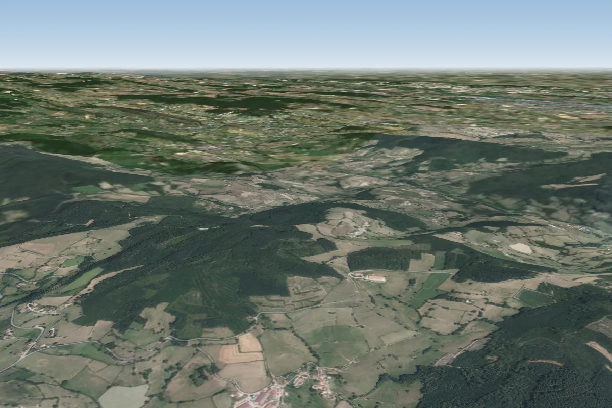 En cours d'ouverture2 km S
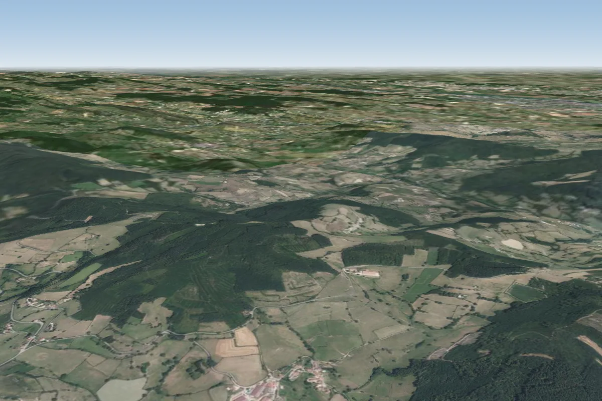 En cours d'ouverture2 km S
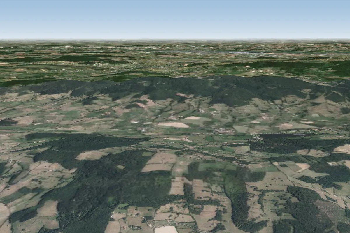 Fontaine Verdine4 km NW
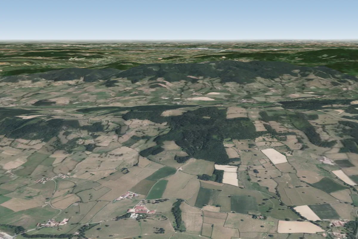 Pente de Clermain6 km NW
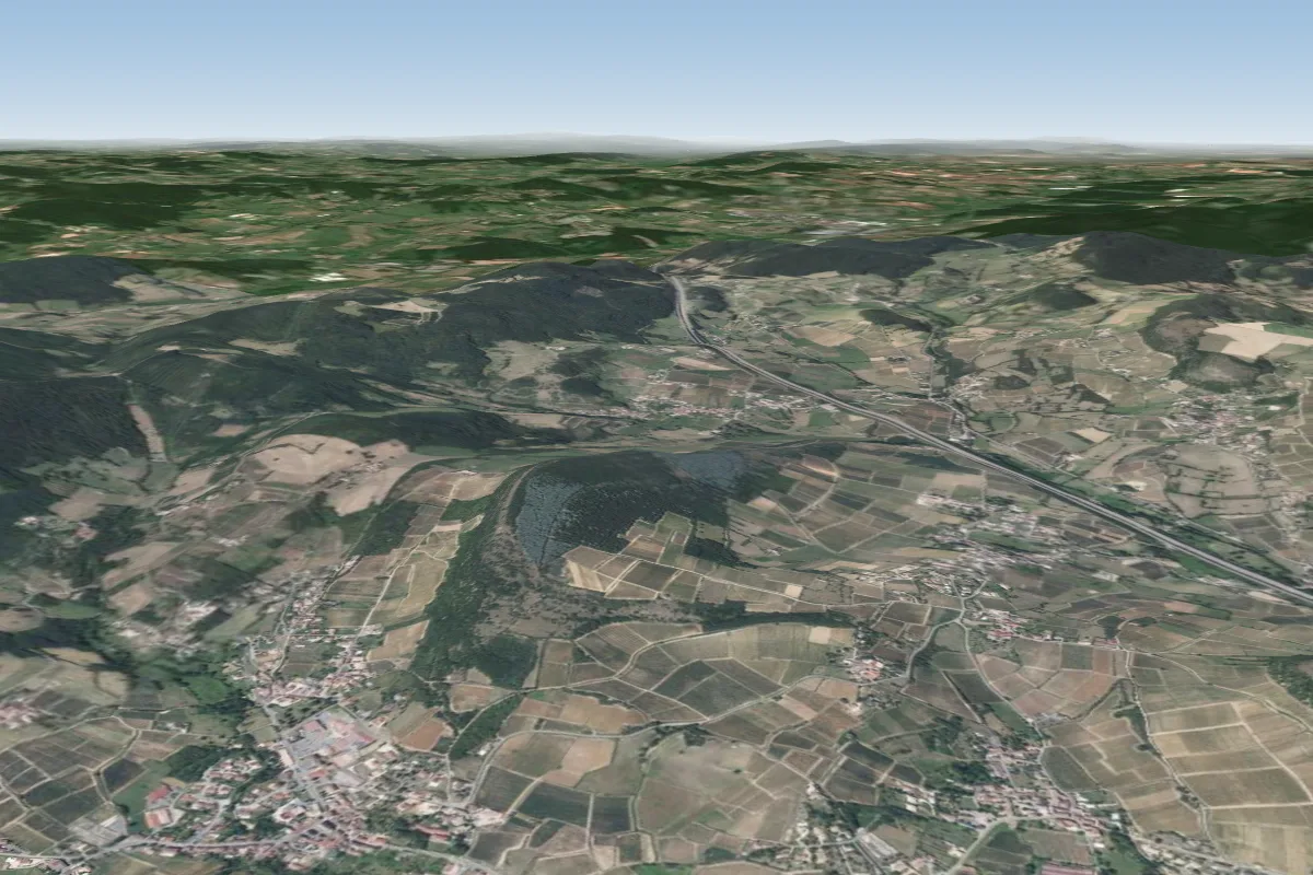 Millylamartine6 km NE · Faces SEWorks in other winds
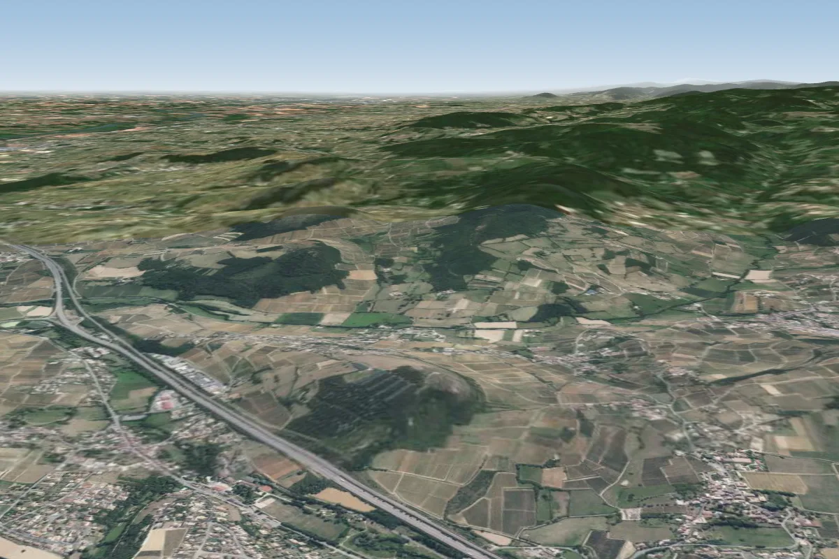 Montsard7 km NE · Faces NWorks in other winds
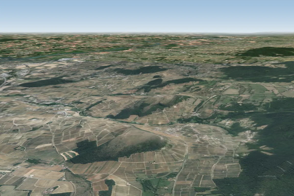 Vergission N-NO7 km E · Faces NW–NWorks in other winds
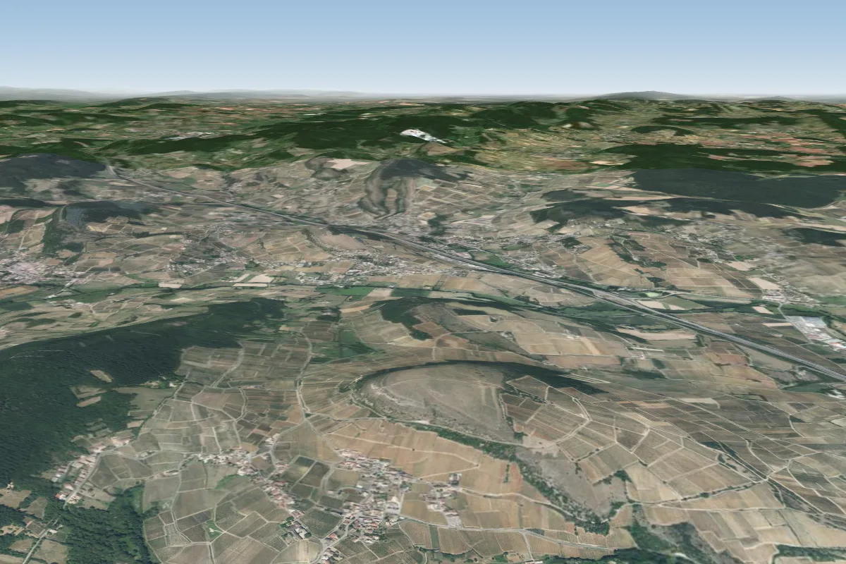 Vergission S-SO7 km E · Faces S–SWWorks in other winds
Pilot notes
No notes yet. Flown Champvent? Tell the next pilot what to expect.
Pilot notes on Champvent
Flying Champvent?
Takeoff, landing, rules, the hour by hour forecast and live wind are in the site details on the map.
Open site detailsSources
- ParaglidingEarth site record © ParaglidingEarth contributors (CC BY-SA)