Charézier
S to SW facing ridge site · 569 m takeoff
Overview
Charézier is a hill site in the French Alps with a recorded launch elevation of 569 m. It is recorded as workable in southerly and south-westerly winds. Pilots fly it for ridge soaring and thermal, using foot launch.
Verify Alpine site conditions locally
This forecast page identifies the launch and its mapped flying characteristics, but local access, cable, wildlife, airspace and landing restrictions can change. Confirm the current site briefing with the responsible local club or school before travelling or flying.
When to go
Flyable days per month in a typical year.
Flyable days for Charézier are on the way. We are scoring ten years of weather for every site, month by month, against this site, its region and the sites around it.
Getting there
Nearest airports
- GVA Geneva International Airport51 km
- DLE Dole Tavaux Airport52 km
- NCY Annecy Meythet airport82 km
Where to stay
The nearest towns, for a bed, food and a lift to takeoff.
- Lons-le-Saunier15 km awayBooking.comAirbnb
- Champagnole19 km awayBooking.comAirbnb
- Saint-Claude28 km awayBooking.comAirbnb
Things to do
For the days the wind is wrong: places worth a visit within 10 km of Charézier.


Flying nearby
See them on the map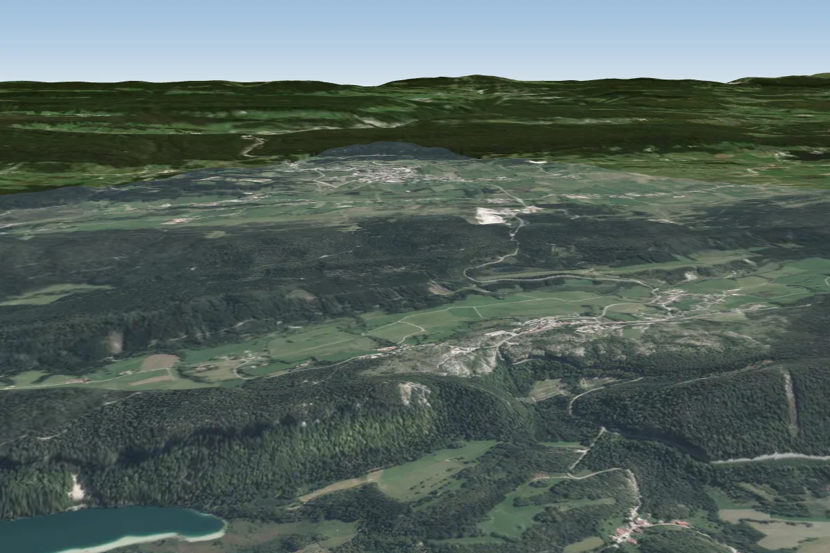 Pic de l\'aigle13 km E · Faces W–NWWorks in other winds
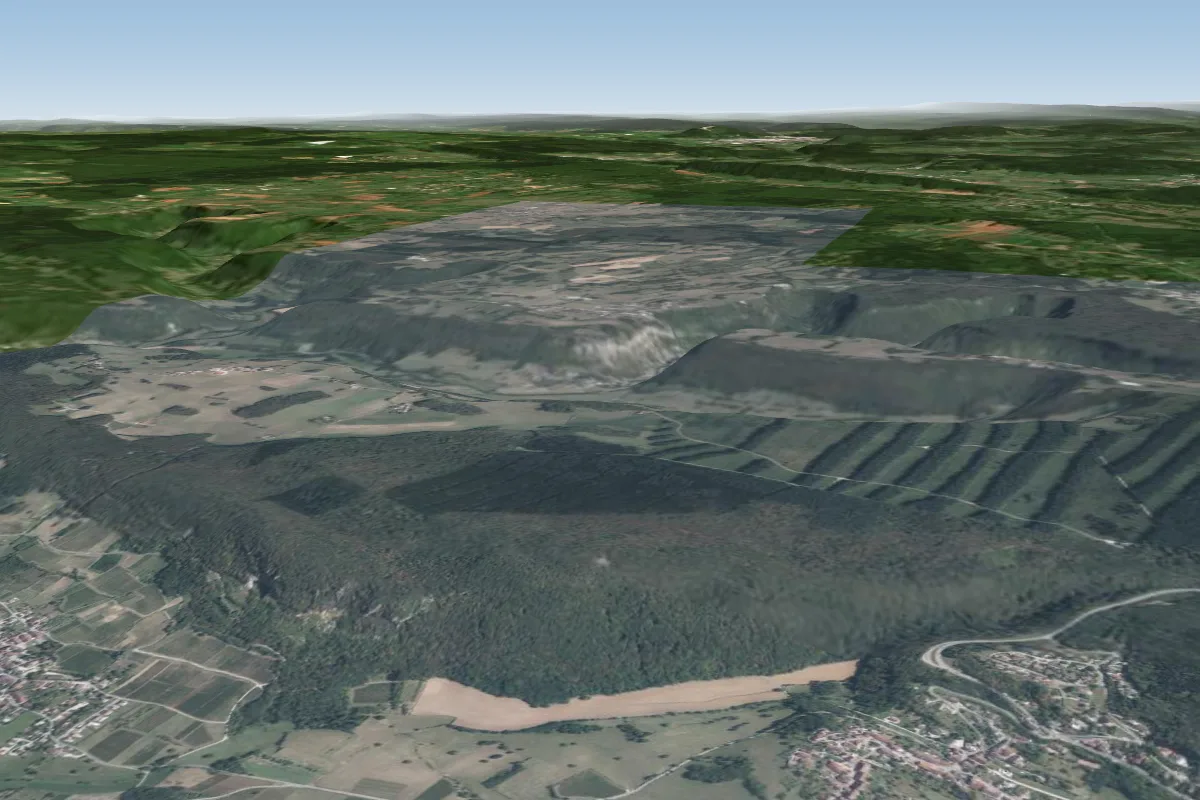 Pannessieres14 km NW · Faces WWorks in other winds
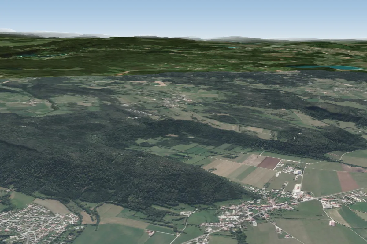 Ney17 km NE · Faces NE, SWWorks in other winds
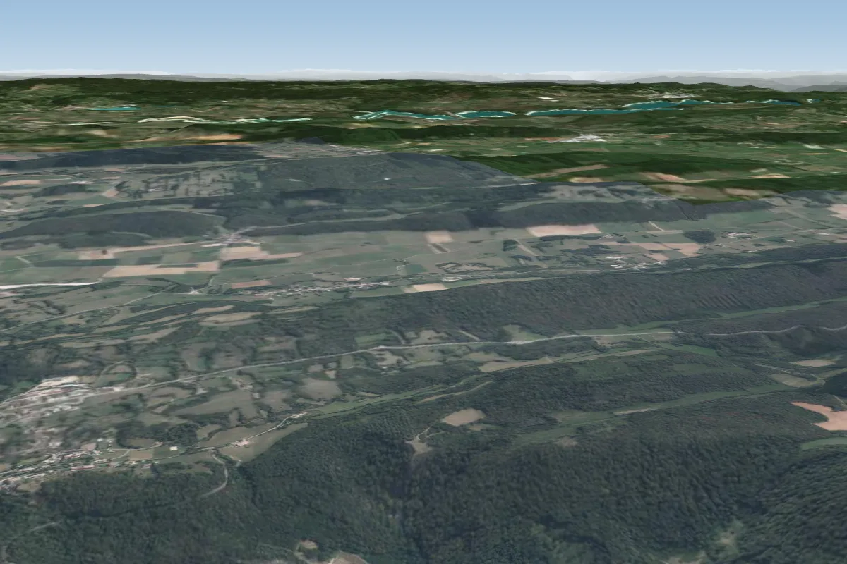 Grusse17 km W · Faces NWWorks in other winds
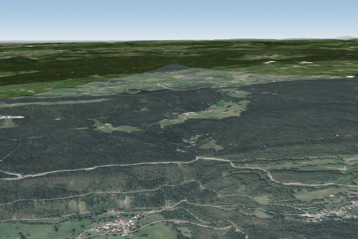 Lezat20 km SE · Faces E–SEWorks in other winds
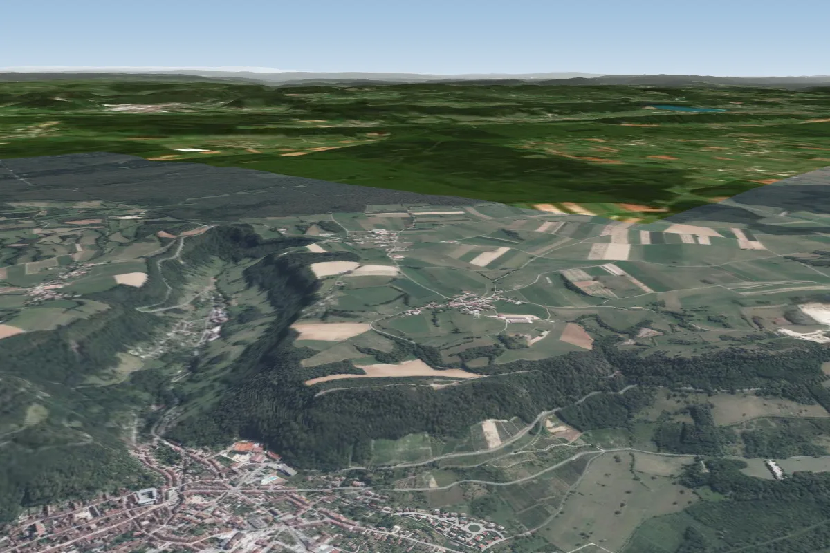 La croix du Dan23 km N
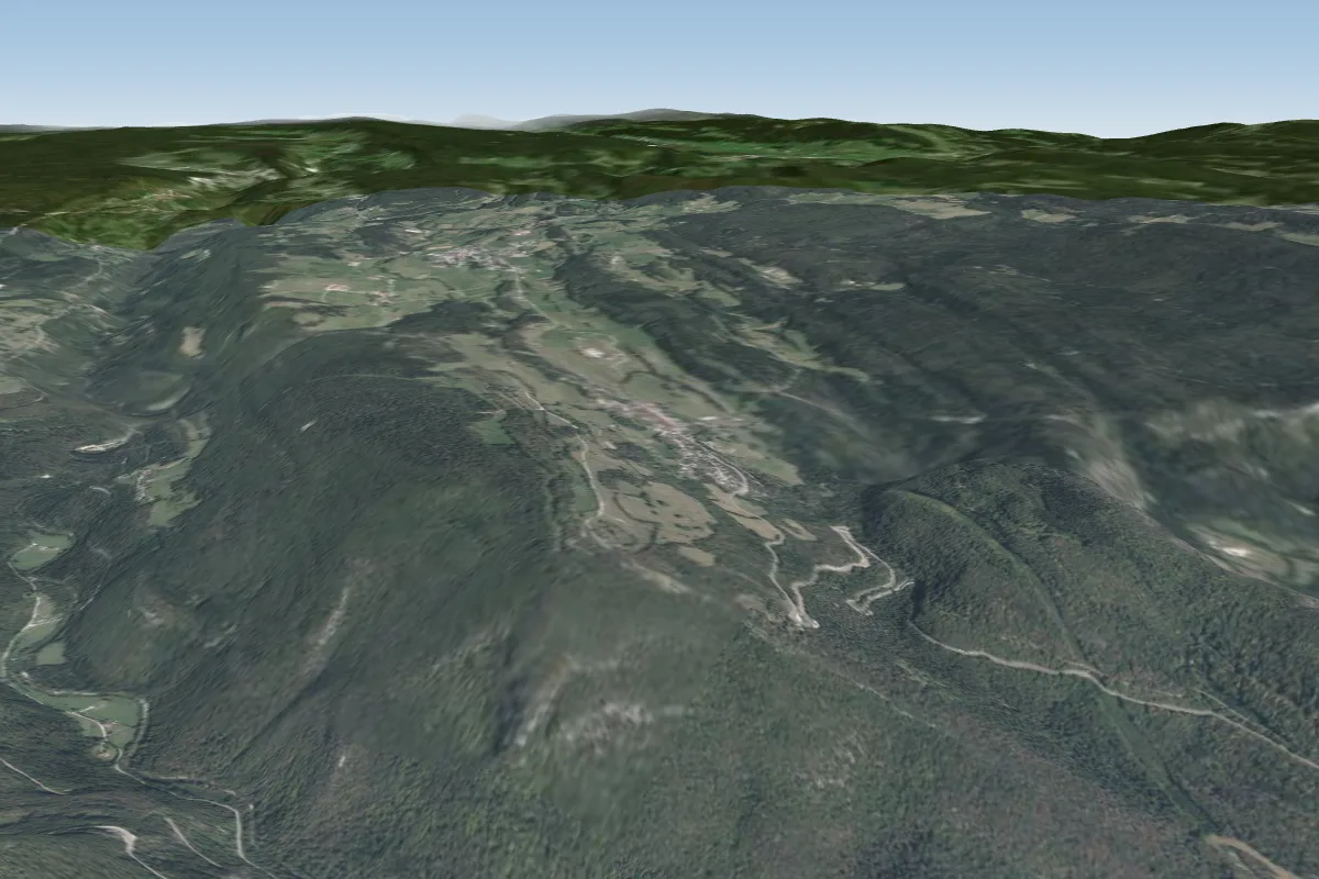 Chenevrier24 km SE
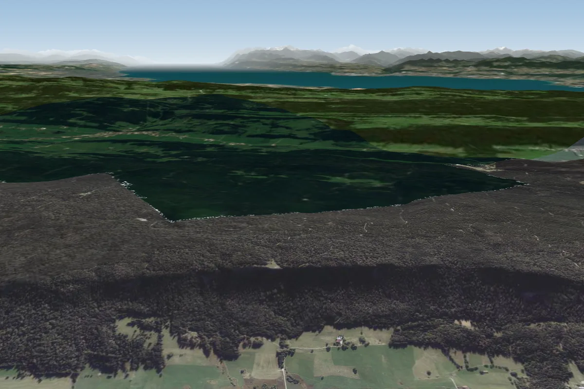 Roche Champion30 km E · Faces NWWorks in other winds
Pilot notes
No notes yet. Flown Charézier? Tell the next pilot what to expect.
Pilot notes on Charézier
Flying Charézier?
Takeoff, landing, rules, the hour by hour forecast and live wind are in the site details on the map.
Open site detailsSources
- ParaglidingEarth site record © ParaglidingEarth contributors (CC BY-SA)