Mont Dardon Sud
South-facing site · 495 m takeoff · 139 m height gain
Overview
Mont Dardon Sud is a flying site in France with a recorded launch elevation of 495 m. It works best in southerly winds.
- Do not fly when the wind come from SE: big rolls, due to vegetals. Le meilleur rendement de ce site est sur NO Source: ParaglidingEarth
When to go
Flyable days per month in a typical year.
Flyable days for Mont Dardon Sud are on the way. We are scoring ten years of weather for every site, month by month, against this site, its region and the sites around it.
Getting there
Nearest airports
- DLE Dole Tavaux Airport113 km
- CFE Clermont-Ferrand Auvergne airport119 km
- LYS Lyon Saint-Exupéry Airport133 km
Where to stay
The nearest towns, for a bed, food and a lift to takeoff.
- Montceau-les-Mines25 km awayBooking.comAirbnb
- Saint-Vallier26 km awayBooking.comAirbnb
- Paray-le-Monial26 km awayBooking.comAirbnb
Flying nearby
See them on the map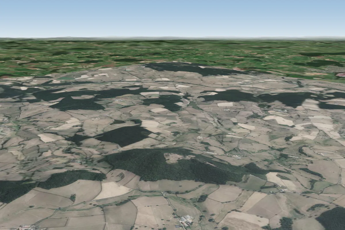 Mont Dardon0 km NW · Faces NW–NWorks in other winds
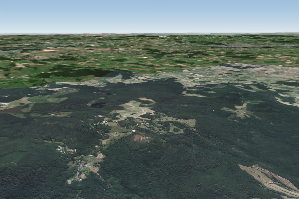 Uchon22 km NE · Faces W–NWWorks in other winds
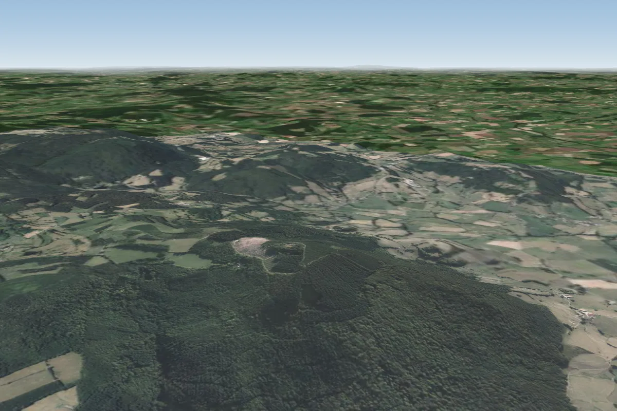 La certenue27 km NE · Faces N–NEWorks in other winds
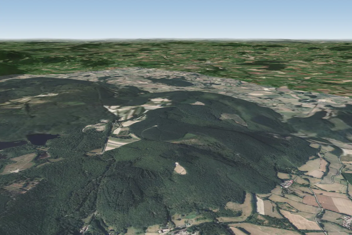 Autun34 km NE · Faces N–NEWorks in other winds
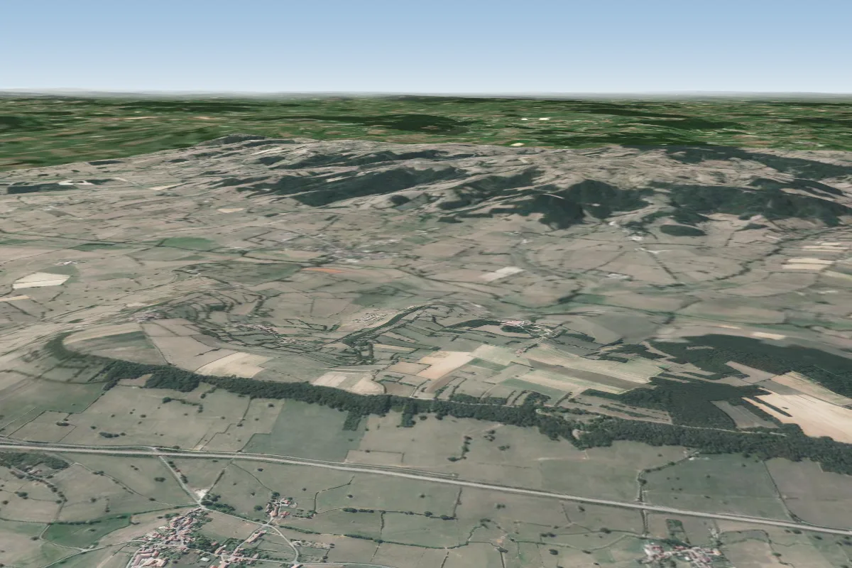 vaux en prés42 km E · Faces NE–EWorks in other winds
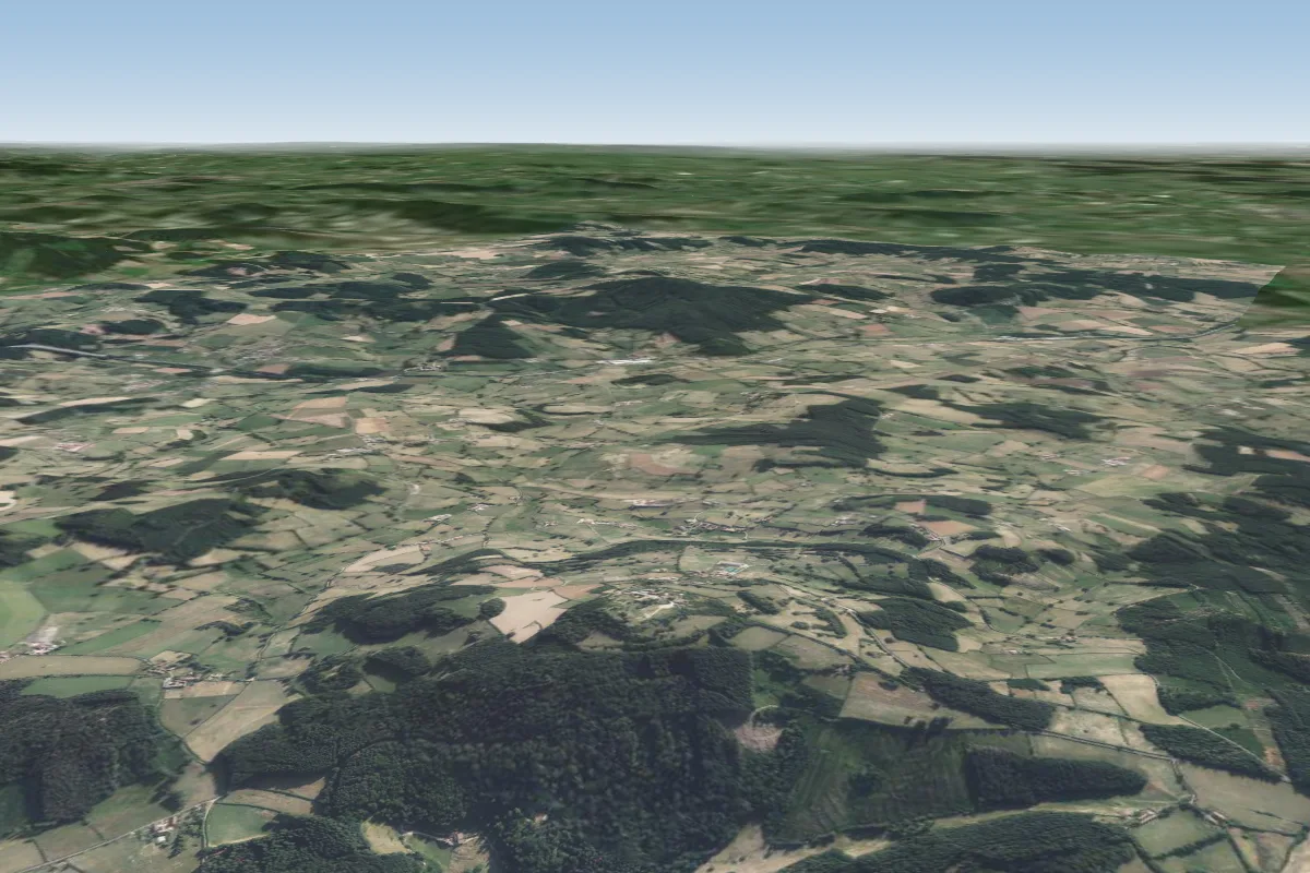 Butte de Suin43 km SE
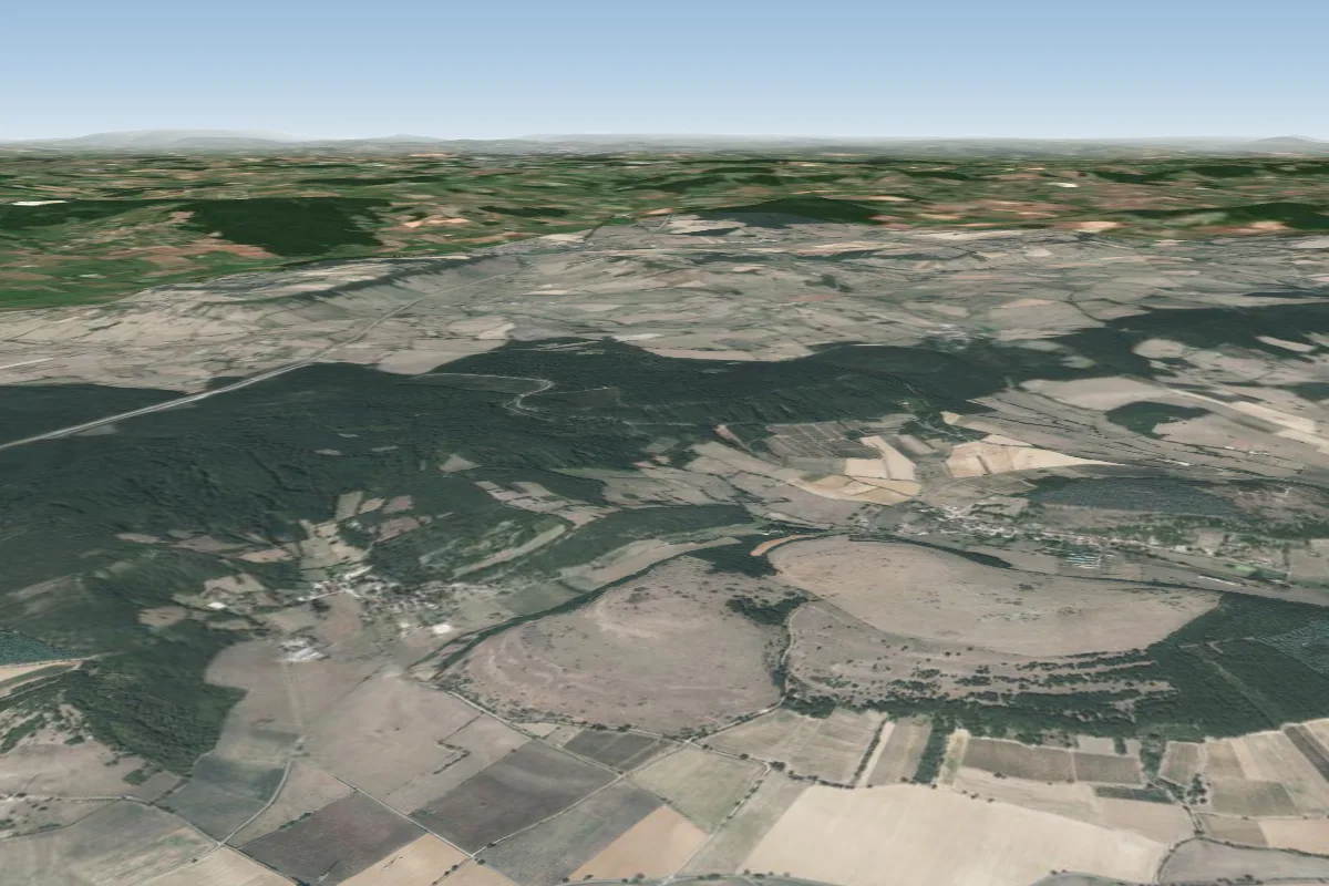 Mont pejus47 km E · Faces SE–SWorks in other winds
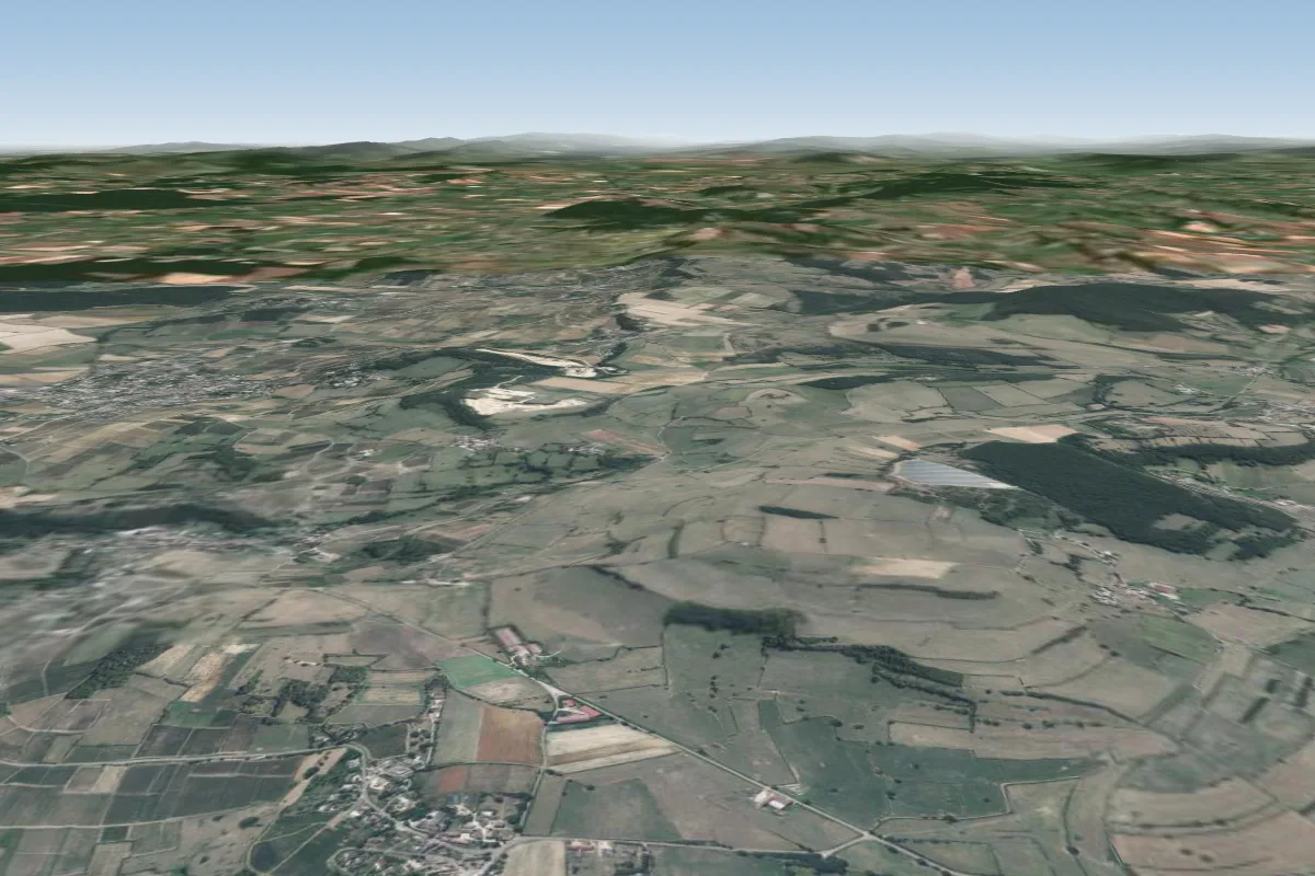 moroges49 km E · Faces N–NEWorks in other winds
More paragliding sites near Mont Dardon Sud
- Chapelle du Banquet 59 km away
Pilot notes
No notes yet. Flown Mont Dardon Sud? Tell the next pilot what to expect.
Pilot notes on Mont Dardon Sud
Flying Mont Dardon Sud?
Takeoff, landing, rules, the hour by hour forecast and live wind are in the site details on the map.
Open site detailsSources
- ParaglidingEarth site record © ParaglidingEarth contributors (CC BY-SA)