Lanarkshire and Lothian Soaring Club
Manages the site
North-west-facing ridge site · 619 m takeoff · 519 m height gain
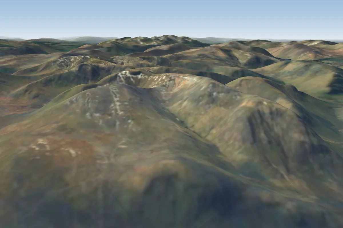
Aonach Mor is a mountain site in Southern Scotland with a recorded launch elevation of 619 m. It works best in north-westerly winds, and can also work in northerly and westerly winds. Pilots fly it for ridge soaring and thermal, using foot launch. It is recorded as suitable for cross-country flights.
Manages the site
Flyable days per month in a typical year.
Flyable days for Aonach Mor are on the way. We are scoring ten years of weather for every site, month by month, against this site, its region and the sites around it.
The nearest towns, for a bed, food and a lift to takeoff.
For the days the wind is wrong: places worth a visit within 10 km of Aonach Mor.
 Aonach MòrOutdoors · 3.3 km awayMountain in Scotland
 Càrn Mòr DeargOutdoors · 4.2 km awayMountain in the Scottish Highlands
 Aonach BeagOutdoors · 4.8 km awayMountain in the Scottish Highlands
 Inverlochy Castle HotelCulture · 5 km awayHotel near Fort William, Scotland
 Tower RidgeOutdoors · 5.1 km awayMountain ridge in Scotland
 Ben NevisOutdoors · 5.4 km awayHighest mountain in the British Isles
 Highbridge, ScotlandCulture · 5.9 km awayRuined bridge in Lochaber, Scotland
 Meall an t-SuidheOutdoors · 6 km awayMountain in Scotland
No notes yet. Flown Aonach Mor? Tell the next pilot what to expect.
Takeoff, landing, rules, the hour by hour forecast and live wind are in the site details on the map.
Open site details