Southern Hang Gliding Club
Manages the site · Membership required
North-east-facing ridge site · 183 m takeoff
Bo-Peep is a flatland site in South Downs, Sussex with a recorded launch elevation of 183 m. It works best in north-easterly winds, and can also work in northerly and easterly winds. Pilots fly it for ridge soaring and thermal, using foot launch.
Manages the site · Membership required
Flyable days per month in a typical year.
Flyable days for Bo-Peep are on the way. We are scoring ten years of weather for every site, month by month, against this site, its region and the sites around it.
For the days the wind is wrong: places worth a visit within 10 km of Bo-Peep.
 Alfriston Market CrossCulture · 2.4 km awayMarket cross in Alfriston, UK
 Drusillas Zoo ParkCulture · 2.5 km awayZoo in England
 Firle BeaconOutdoors · 2.5 km awayHill in England
 Charleston FarmhouseCulture · 2.6 km awayHistoric house museum in East Sussex, England
 St Andrew's Church, AlfristonCulture · 2.6 km awayChurch in East Sussex, England
 Lullington ChurchCulture · 3.1 km awayChurch in Lullington, East Sussex, England
 Litlington White HorseOutdoors · 3.7 km awayChalk hill figure on Hindover Hill in East Sussex
 St Peter's Church, FirleCulture · 3.9 km awayHistoric Anglican church in Firle, East Sussex
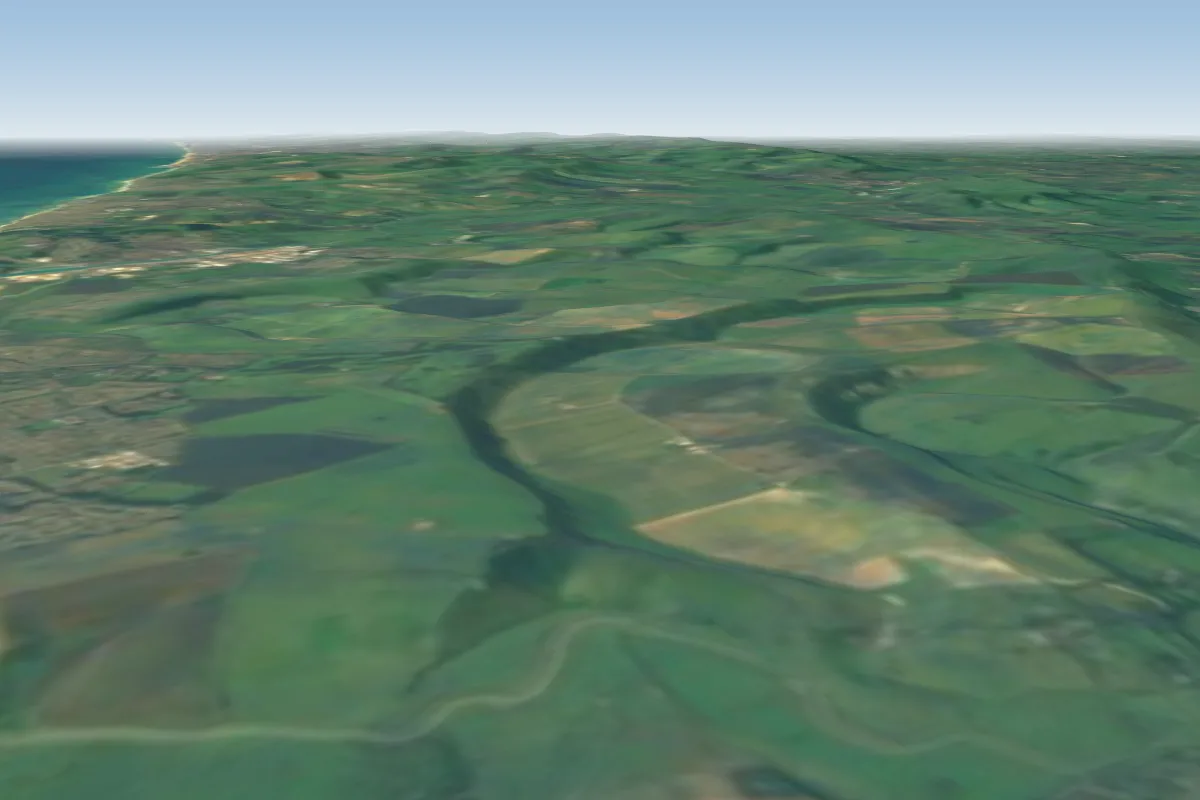 High and Over3 km S · Faces E–SEWorks in other winds
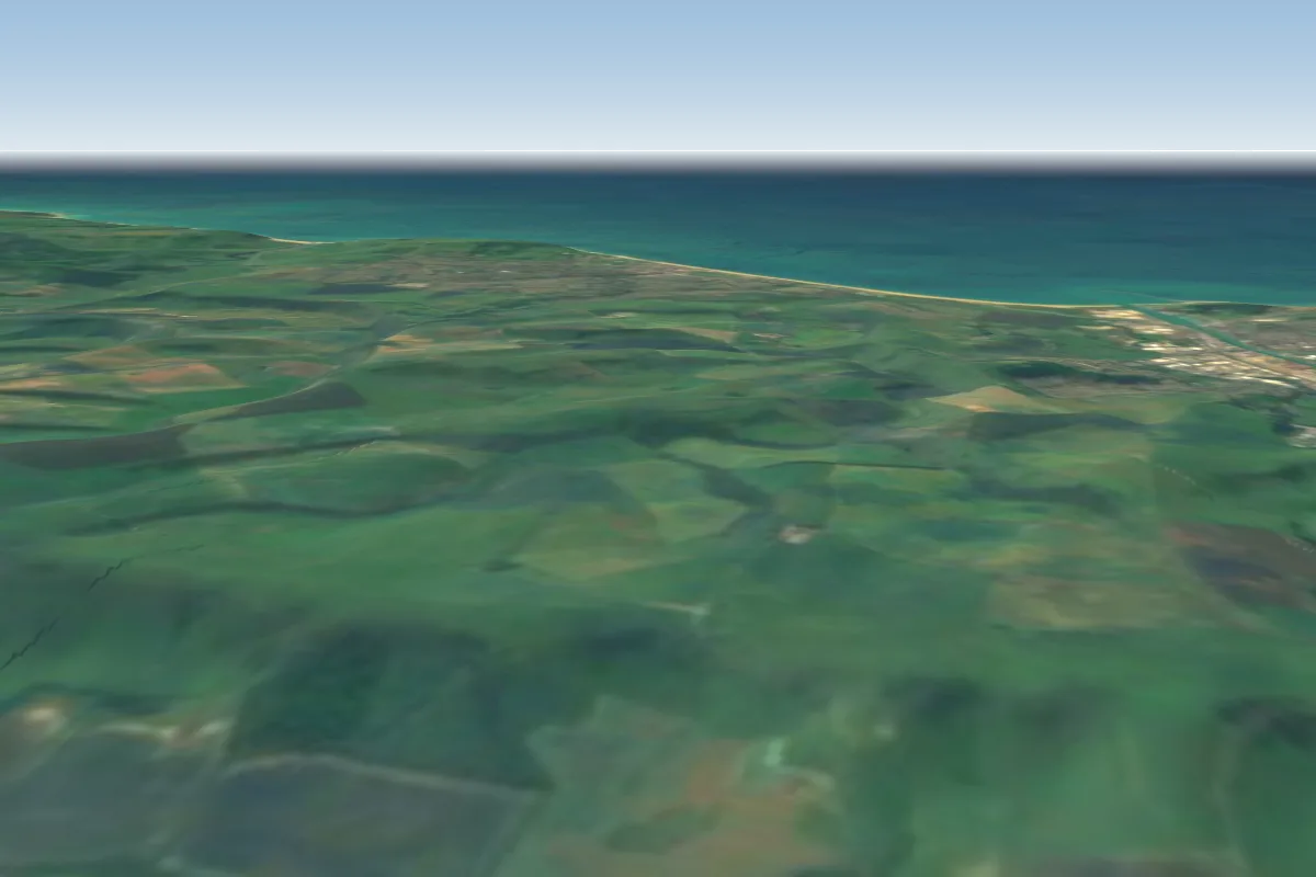 Firle3 km NW · Faces NW–NWorks in other winds
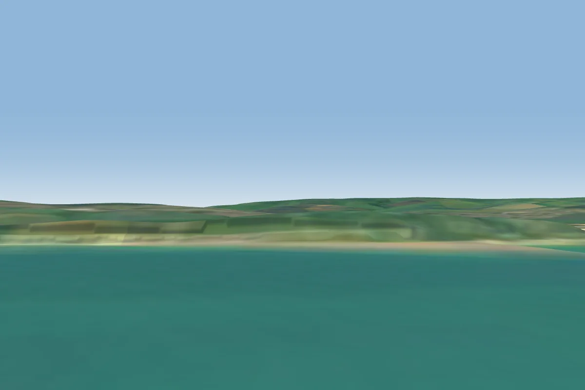 Newhaven Cliffs7 km SW · Faces SWorks in other winds
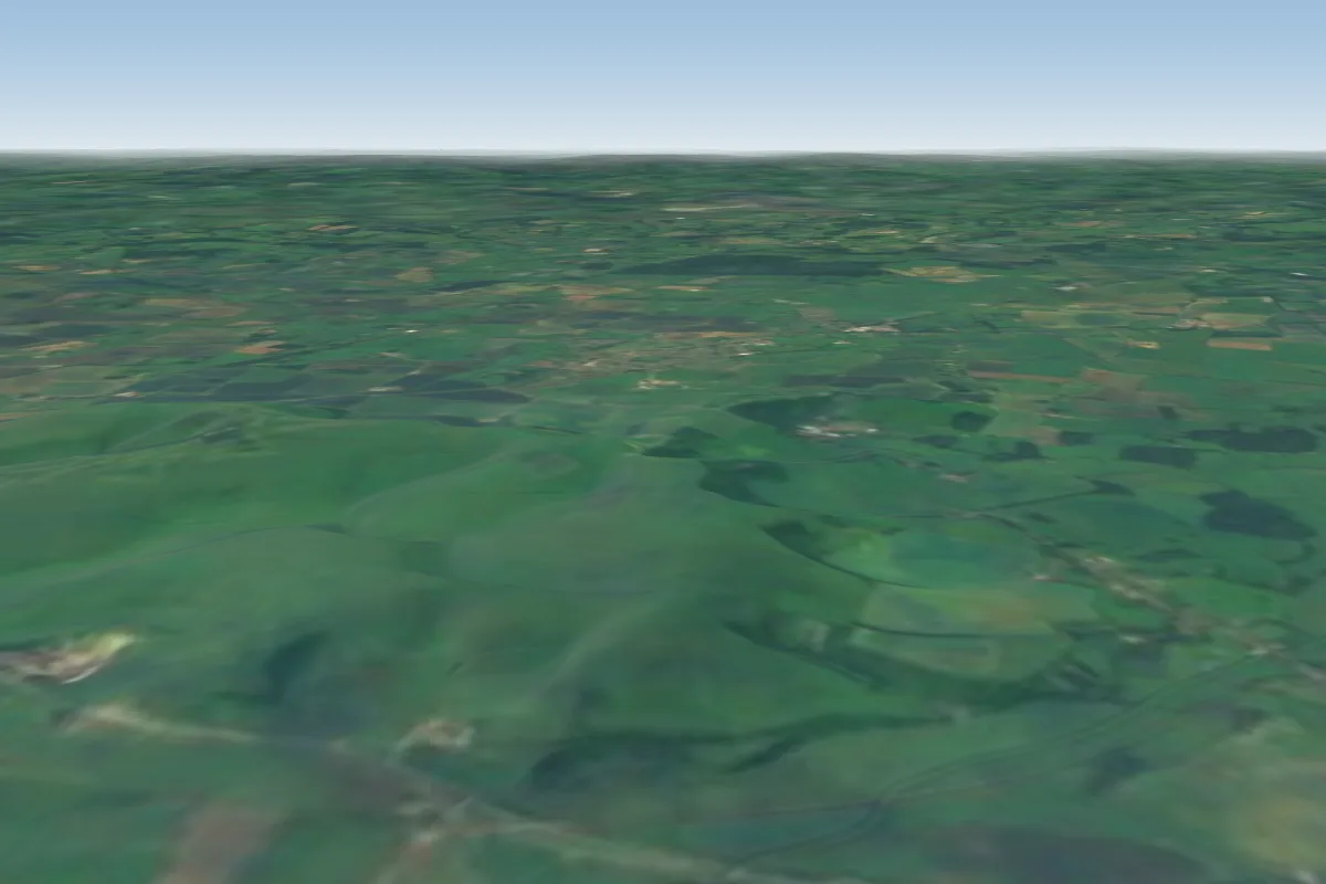 Mount Caburn7 km NW · Faces S–SWWorks in other winds
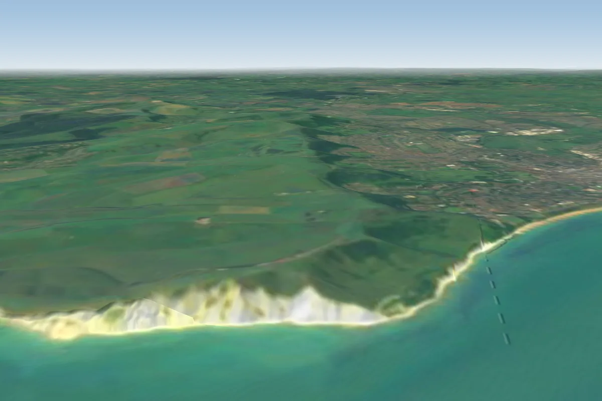 Beachy Head13 km SE · Faces SE–SWorks in other winds
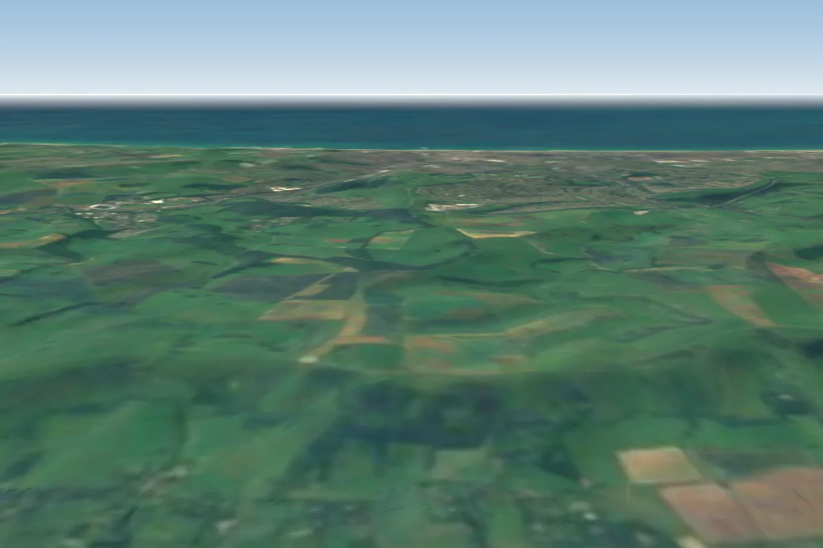 Ditchling Beacon19 km NW · Faces N
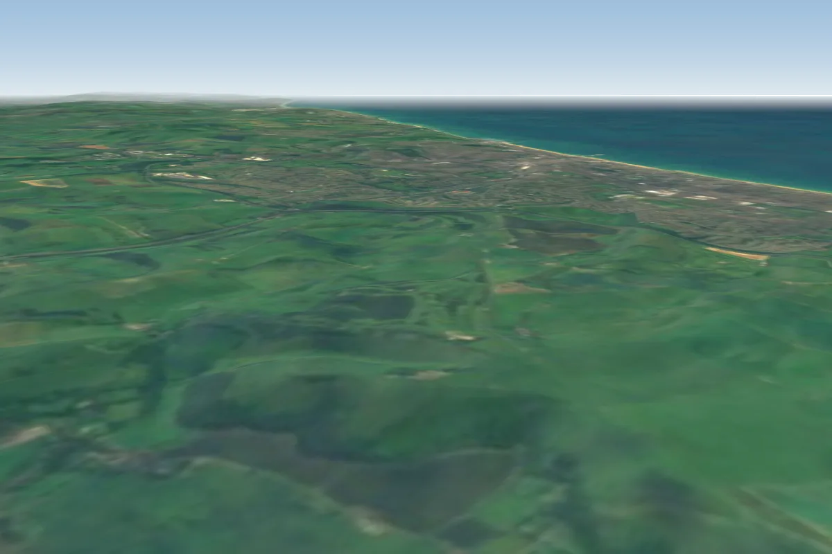 Devil's Dyke25 km W · Faces NW–NWorks in other winds
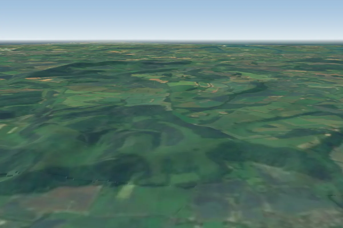 Harting Down72 km W
No notes yet. Flown Bo-Peep? Tell the next pilot what to expect.
Takeoff, landing, rules, the hour by hour forecast and live wind are in the site details on the map.
Open site details