South East Wales Hang Gliding and Paragliding Club
Manages the site
East-facing site · 196 m takeoff
Garth Hill is a flying site in SE Wales / Black Mountains with a recorded launch elevation of 196 m. It works best in easterly winds, and can also work in south-easterly and southerly winds.
Manages the site
Flyable days per month in a typical year.
Flyable days for Garth Hill are on the way. We are scoring ten years of weather for every site, month by month, against this site, its region and the sites around it.
The nearest towns, for a bed, food and a lift to takeoff.
For the days the wind is wrong: places worth a visit within 10 km of Garth Hill.
 Taff's Well Thermal SpringOutdoors · 0.6 km awayThermal spring in Wales
 Garth HillOutdoors · 1 km awayHill (307m) in Cardiff, Wales
 Walnut Tree ViaductCulture · 1.5 km awayBridge in Cardiff, South Wales
 Castell CochCulture · 2 km away19th-century Gothic Revival castle in Tongwynlais, Wales
 Castell Coch Woodlands and Road SectionOutdoors · 2 km awayProtected area in Glamorgan, Wales
 Morganstown Castle MoundCulture · 2.3 km awayMotte-and-bailey castle in Cardiff, Wales
 St David's Church, NottageCulture · 2.4 km awayChurch
 Ainon Baptist Church (Tongwynlais)Culture · 2.4 km awayChurch in Cardiff, Wales
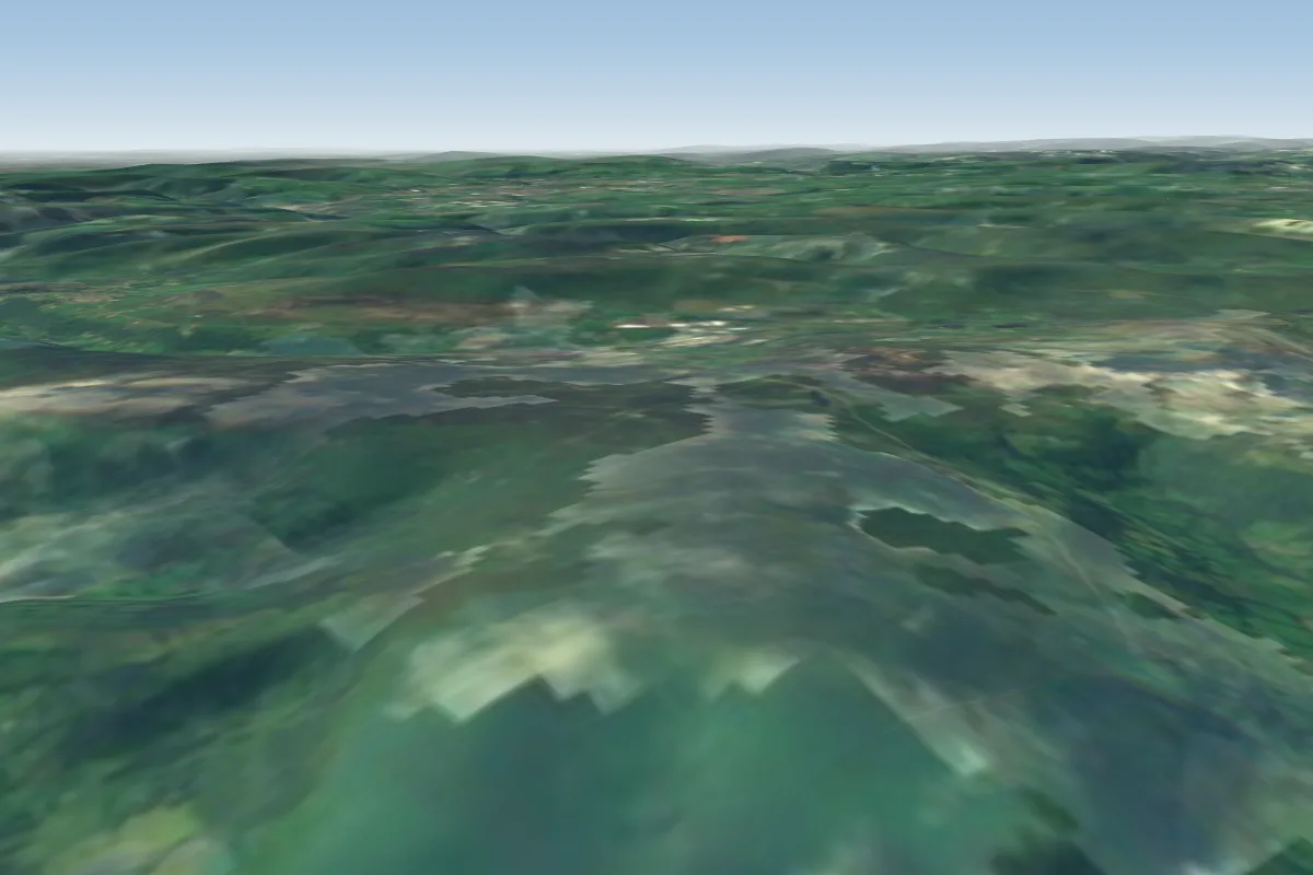 Blorenge33 km NE · Faces NW–EWorks in other winds
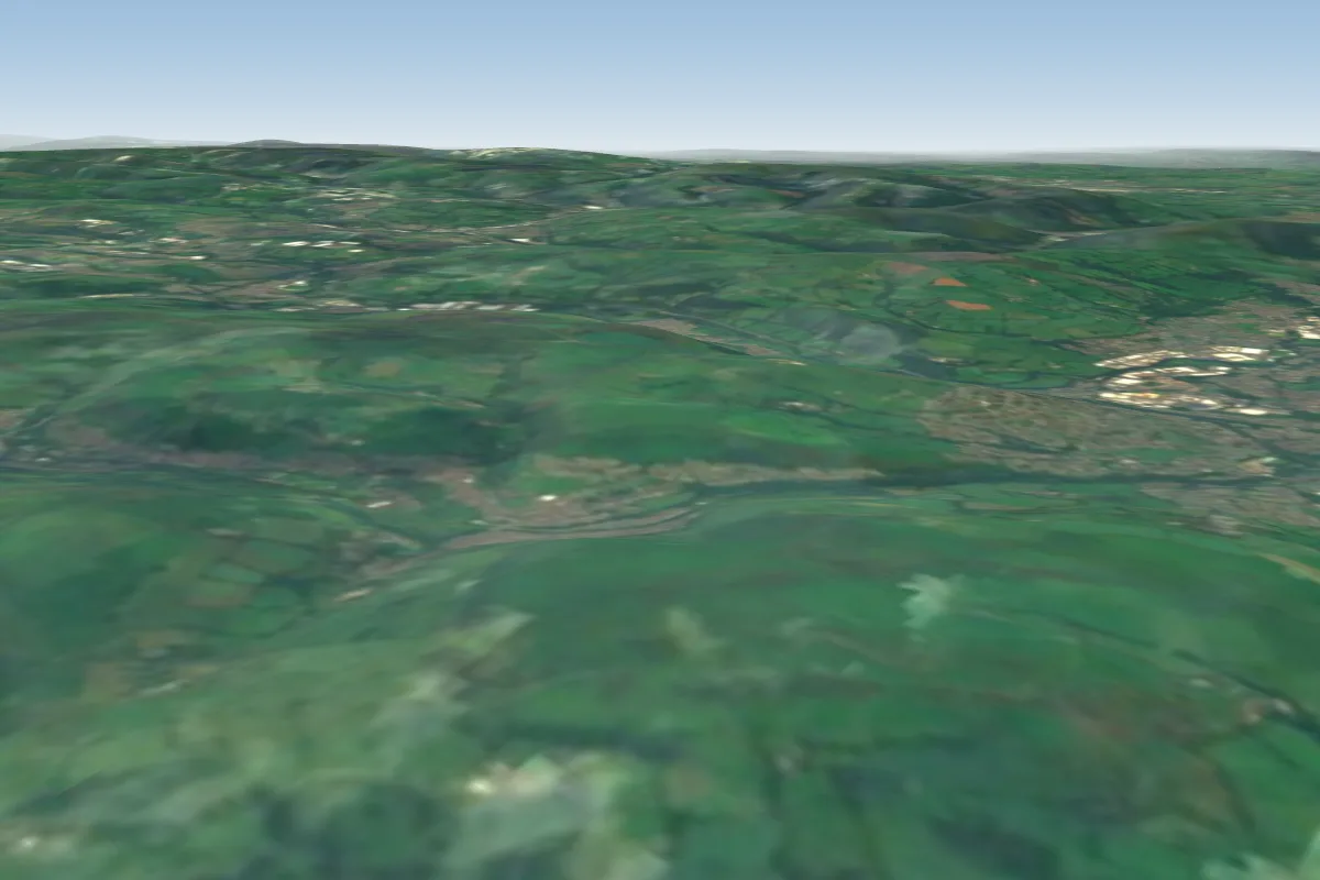 Mynydd Meio5 km N
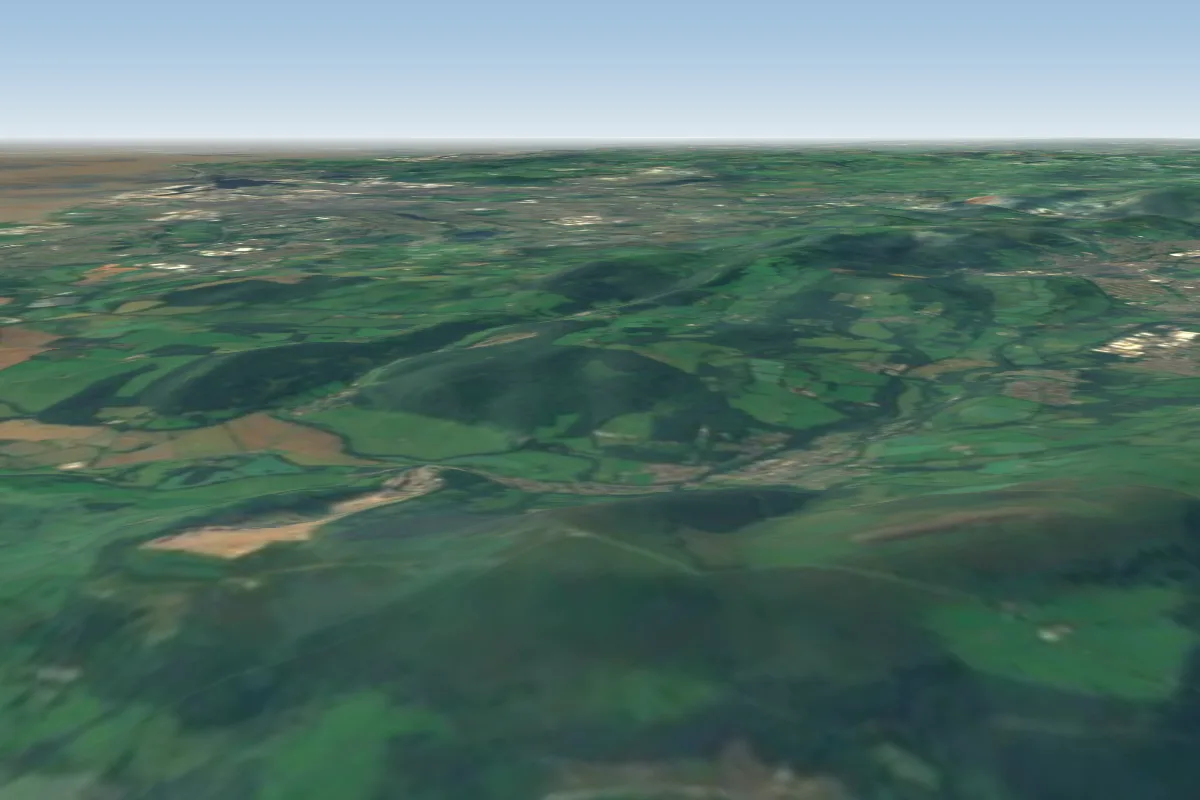 Mynydd Machen13 km NE · Faces NEWorks in other winds
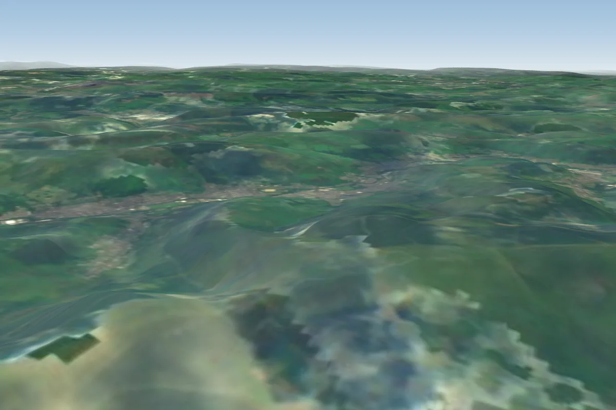 Nantymoel20 km NW · Faces SWWorks in other winds
 Merthyr Common20 km N · Faces WWorks in other winds
 Cwmbran21 km NE · Faces SE–S
 Fochriw21 km N · Faces WWorks in other winds
 Cwmparc21 km NW · Faces NEWorks in other winds
No notes yet. Flown Garth Hill? Tell the next pilot what to expect.
Takeoff, landing, rules, the hour by hour forecast and live wind are in the site details on the map.
Open site details