Long Mynd Soaring Club (LMSC)
Manages the site
Site · 367 m takeoff
Long Mynd South is a flying site in Shropshire Hills with a recorded launch elevation of 367 m. No launch directions are recorded yet.
Manages the site
Flyable days per month in a typical year.
Flyable days for Long Mynd South are on the way. We are scoring ten years of weather for every site, month by month, against this site, its region and the sites around it.
The nearest towns, for a bed, food and a lift to takeoff.
For the days the wind is wrong: places worth a visit within 10 km of Long Mynd South.
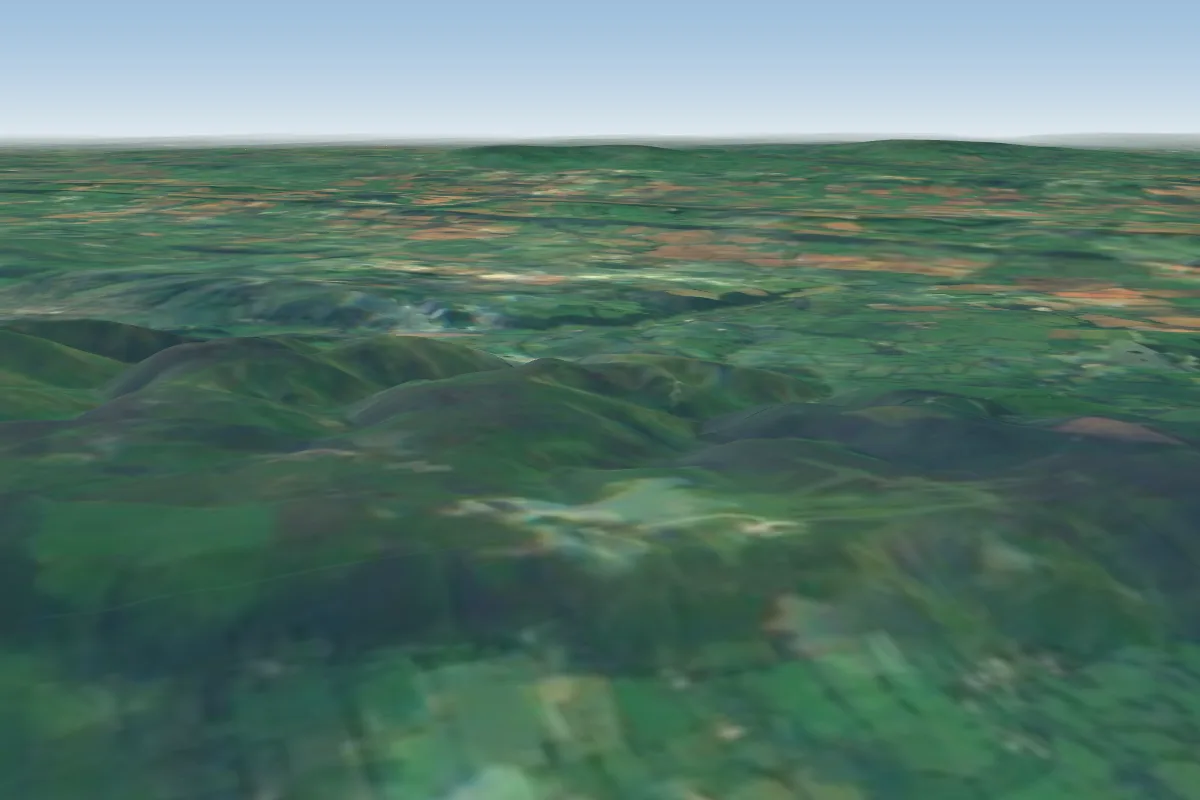 Long Mynd3 km N · Faces WWorks in other winds
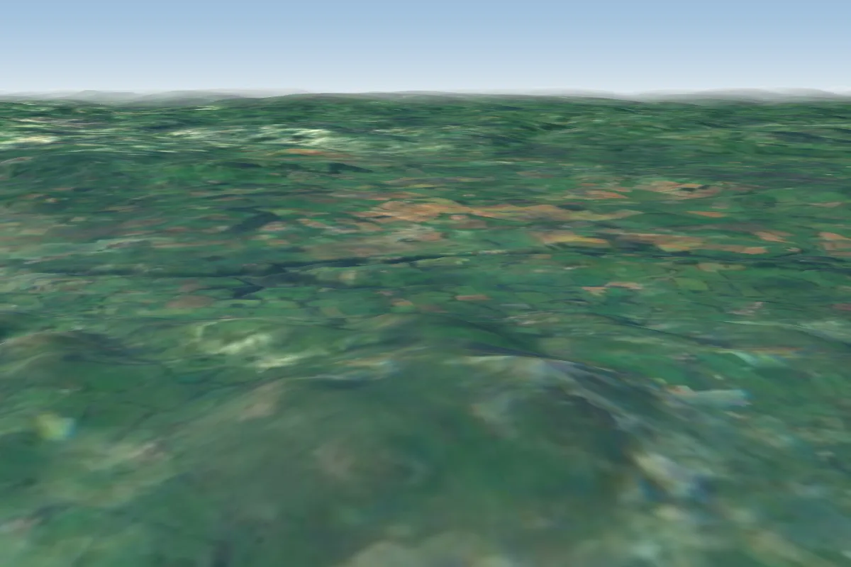 Corndon11 km NW · Faces N–SWorks in other winds
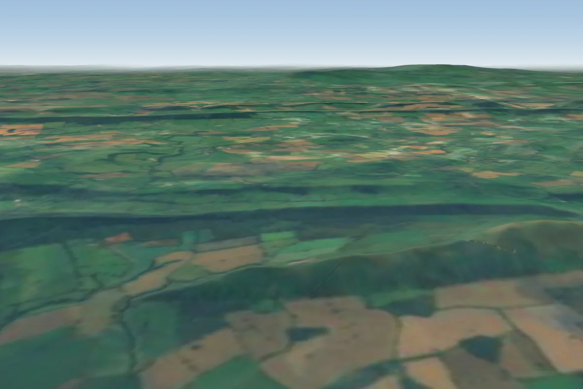 Lawley14 km NE · Faces NWWorks in other winds
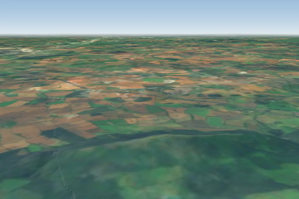 The Wrekin30 km NE · Faces SE, NWWorks in other winds
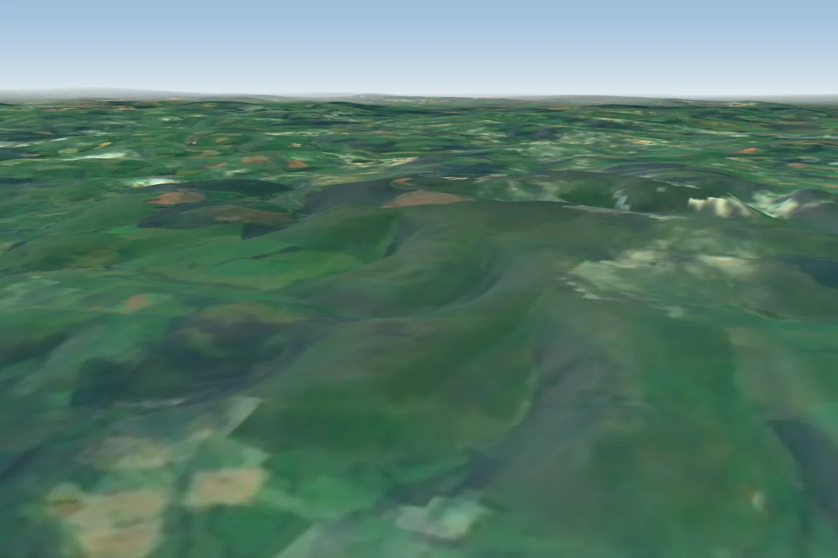 Cowlod35 km SW · Faces SW–WWorks in other winds
 Foel35 km SW · Faces SWWorks in other winds
 Llandinam36 km W · Faces W–NWWorks in other winds
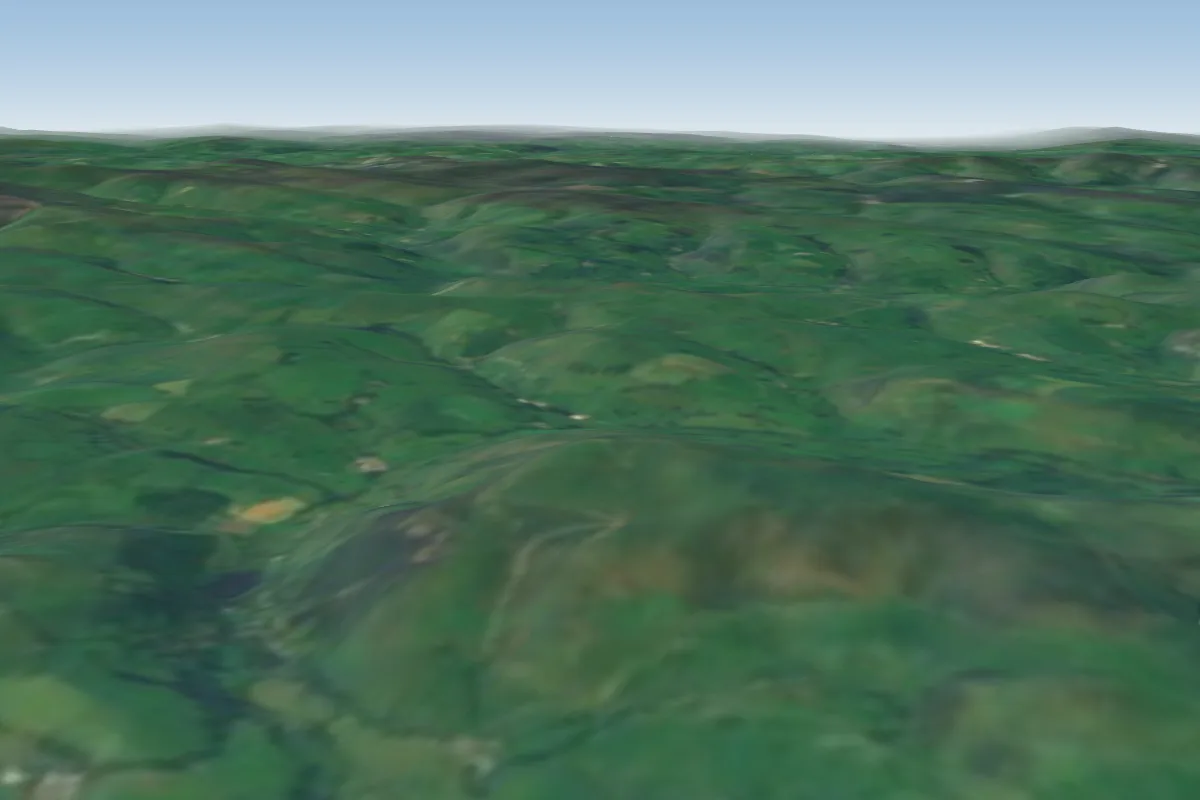 Gyrn Moelfre45 km NW · Faces SEWorks in other winds
No notes yet. Flown Long Mynd South? Tell the next pilot what to expect.
Takeoff, landing, rules, the hour by hour forecast and live wind are in the site details on the map.
Open site details

