Perran Sands
W to NW facing ridge site · 66 m takeoff
Overview
Perran Sands is a hill site in UK with a recorded launch elevation of 66 m. It works best in westerly and north-westerly winds. Pilots fly it for ridge soaring, using foot launch.
- The Management of the Holiday Centre need to control vehicles entering their property. Parking Tickets are now required for all vehicles entering the Holiday Centre Property. Source: ParaglidingEarth
When to go
Flyable days per month in a typical year.
Flyable days for Perran Sands are on the way. We are scoring ten years of weather for every site, month by month, against this site, its region and the sites around it.
Local weather notes
- Hazards: Sink and rotor above and behind caravans. Do Not over fly. Watch for military helicopters operating with the military training area to the north. Restricted Areas: Be aware of the Live Firing Range and of Perranporth Airfield ATZ. Source: ParaglidingEarth
Getting there
Nearest airports
- NQY Cornwall Airport Newquay14 km
- EXT Exeter International Airport129 km
- CWL Cardiff International Airport171 km
Where to stay
The nearest towns, for a bed, food and a lift to takeoff.
- Newquay7 km awayBooking.comAirbnb
- Truro13 km away · cityBooking.comAirbnb
- Redruth15 km awayBooking.comAirbnb
Things to do
For the days the wind is wrong: places worth a visit within 10 km of Perran Sands.
 Church of St CubertCulture · 3 km awayChurch in Cubert, Cornwall
 St Carantoc's Church, CrantockCulture · 5.4 km awayChurch in Cornwall, England
 Trevaunance CoveOutdoors · 5.8 km awayBay in Cornwall, United Kingdom
- Carnkief PondOutdoors · 4.6 km awayProtected area in Cornwall, England
- Ventongimps MoorOutdoors · 5.3 km awayNature reserve in Cornwall, England
Flying nearby
See them on the map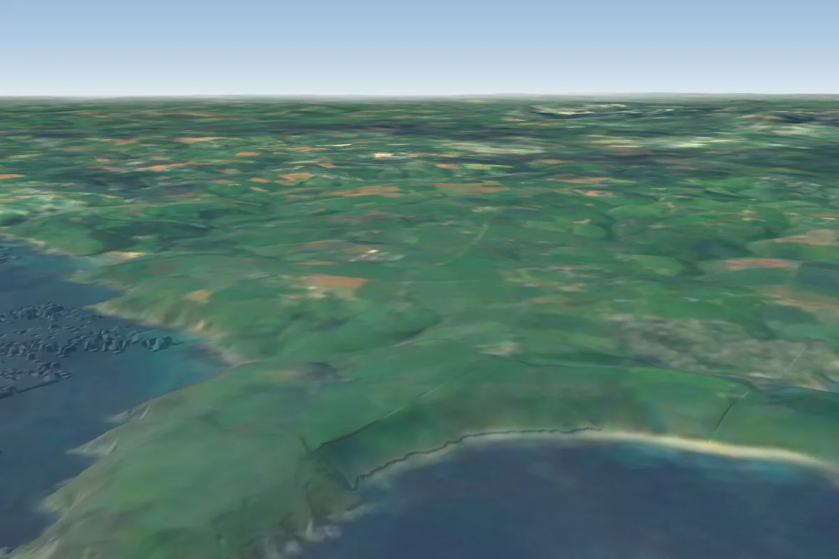
Pilot notes
No notes yet. Flown Perran Sands? Tell the next pilot what to expect.
Pilot notes on Perran Sands
Flying Perran Sands?
Takeoff, landing, rules, the hour by hour forecast and live wind are in the site details on the map.
Open site detailsSources
- ParaglidingEarth site record © ParaglidingEarth contributors (CC BY-SA)