South East Wales Hang Gliding and Paragliding Club
Manages the site
NW to NE facing site · 472 m takeoff
Rhigos is a flying site in SE Wales / Black Mountains with a recorded launch elevation of 472 m. It is recorded as workable in northerly, north-easterly and north-westerly winds.
Manages the site
Flyable days per month in a typical year.
Flyable days for Rhigos are on the way. We are scoring ten years of weather for every site, month by month, against this site, its region and the sites around it.
The nearest towns, for a bed, food and a lift to takeoff.
For the days the wind is wrong: places worth a visit within 10 km of Rhigos.
 Llyn FawrOutdoors · 0.9 km awayNatural lake, reservoir in South Wales Valleys, Wales
 Tower CollieryCulture · 1.2 km awayHistoric Welsh coal mine active until 2008
 Craig y LlynOutdoors · 2 km awayHill (600m) in south Wales
 Nebo Chapel, HirwaunCulture · 4.1 km awayFormer chapel in Aberdare, Rhondda Cynon Taf, Wales
 Ramoth ChapelCulture · 4.1 km awayChapel in Hirwaun, Rhondda Cynon Taf, Wales
 Dare Valley Country ParkOutdoors · 4.4 km awayCountry park in south Wales
 Elim Chapel, CwmdareCulture · 5.3 km awayFormer chapel in Cwmdare, Rhondda Cynon Taf, Wales
 Moel PenderynOutdoors · 5.8 km awayHill (371m) in Rhondda Cynon Taf, Wales
 Blorenge36 km E · Faces NW–EWorks in other winds
 Cwmparc8 km S · Faces NE
 Nantymoel9 km S · Faces SWWorks in other winds
 Merthyr Common15 km E · Faces WWorks in other winds
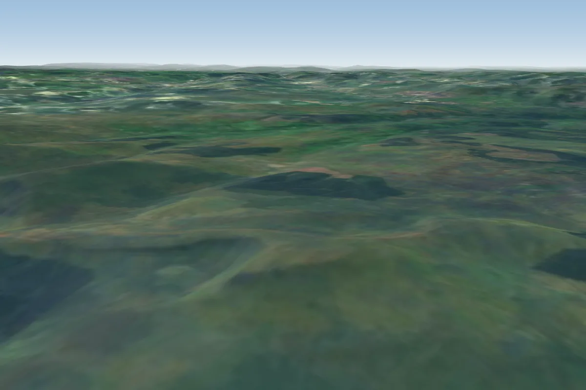 Fan Gyhirych17 km N · Faces SW–NEWorks in other winds
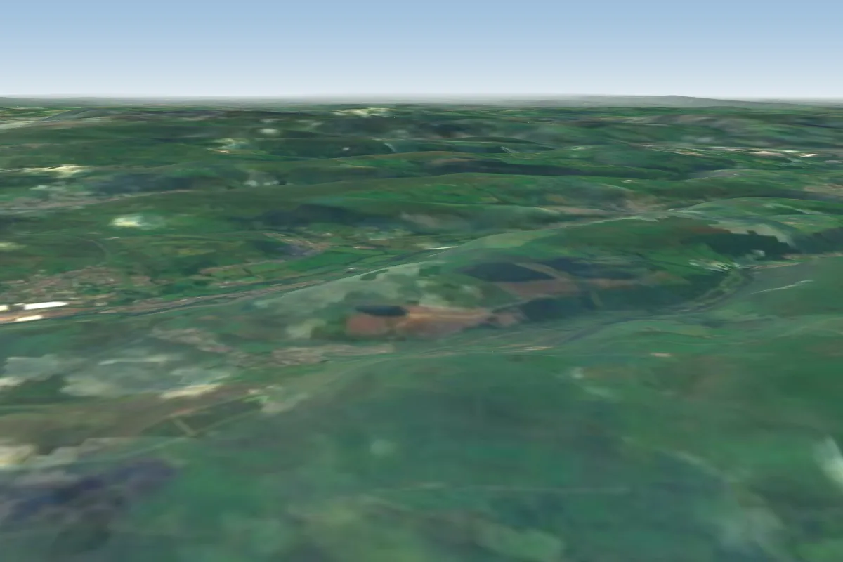 Fochriw17 km E · Faces WWorks in other winds
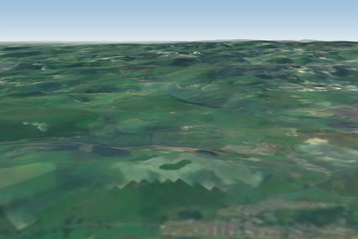 Pontlottyn19 km E · Faces NE
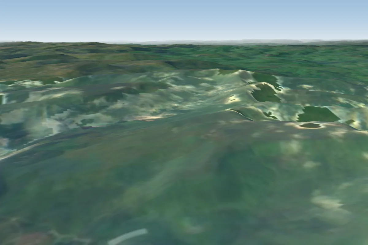 Talybont20 km NE · Faces SE–SWWorks in other winds
No notes yet. Flown Rhigos? Tell the next pilot what to expect.
Takeoff, landing, rules, the hour by hour forecast and live wind are in the site details on the map.
Open site details