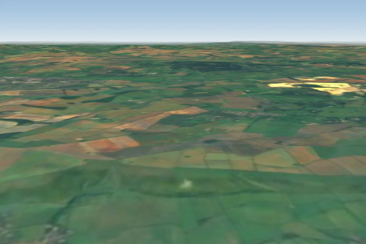
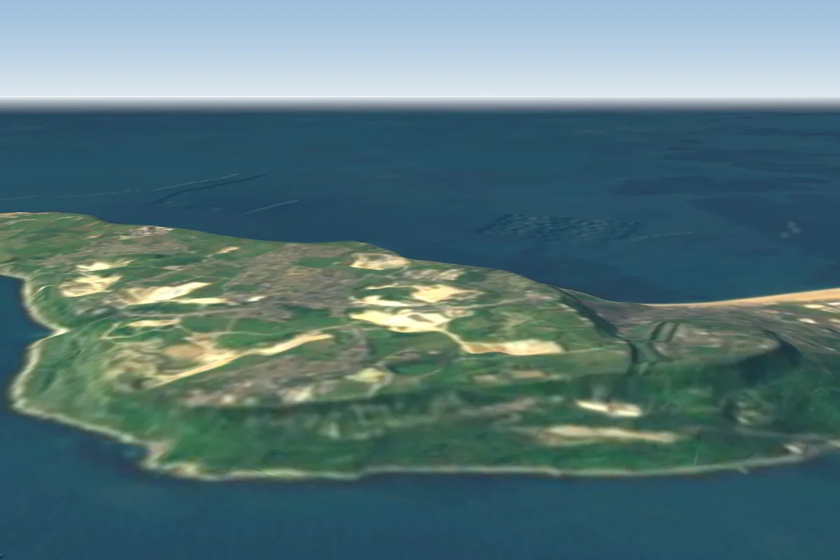
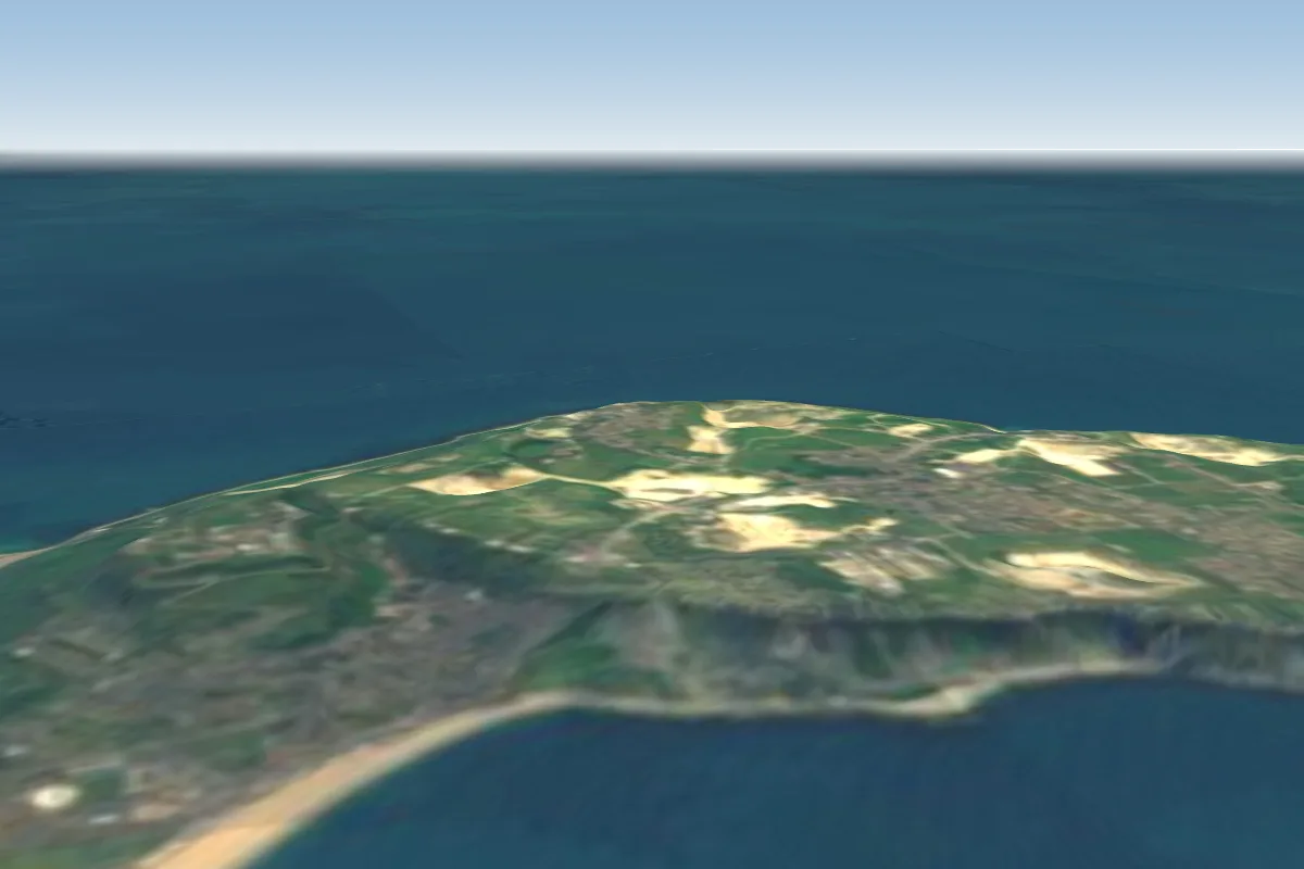
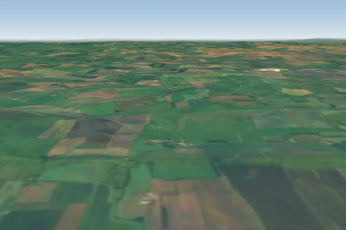
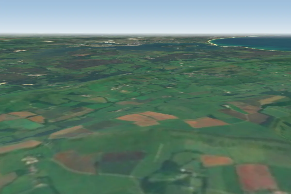
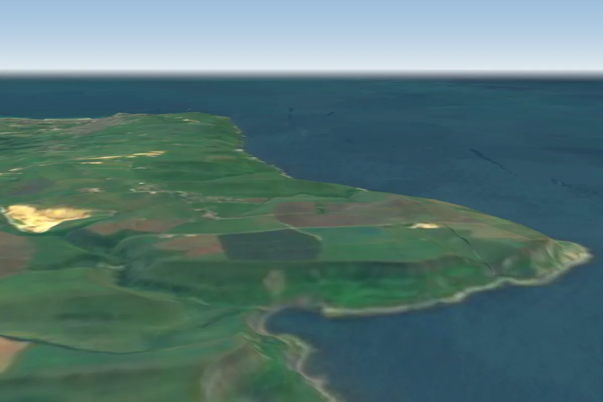
Ringstead is a hill site in Dorset coast with a recorded launch elevation of 118 m. It works best in south-westerly winds. Pilots fly it for ridge soaring, using foot launch.
Ringstead Bay (WHGPC site 2.019) is a National Trust coastal site east of Weymouth, Dorset. It is really two sites: a small SW-facing take-off ridge above Southdown Farm (450 ft AMSL) and, across a valley with power lines, the main chalk…
Local clubs
Wessex Hang Gliding & Paragliding Club
Manages the site
BHPA club. Visitors with third-party insurance may fly Ringstead but must read the site guide and get a briefing from a club coach or committee member before their first flight; contact via the club website, Facebook group…
Flyable days for Ringstead are on the way. We are scoring ten years of weather for every site, month by month, against this site, its region and the sites around it.
Local weather notes
Lift: ridge, thermal · Season: Jan, Apr, May, Jun, Jul, Aug, Sep, Oct · Best time: Late morning to mid afternoon (XContest launches 10:05 to 15:17, most around midday, per Wilder Adventures) Source: Ringstead Bay site guide (Rev. May 2026), site code 2.019
Wessex HGPG — Join us Summarised from the Wessex HGPG — Join us (as of 2026-09-29). The club guide is authoritative; always check it before flying.
Wessex HGPG — Visiting pilots Summarised from the Wessex HGPG — Visiting pilots (as of 2026-09-29). The club guide is authoritative; always check it before flying.