Devon and Somerset Condors HGPG
Manages the site
South-east-facing ridge site · 19 m takeoff
Sandy Bay is a hill site in East Devon / Exmoor / West Dorset with a recorded launch elevation of 19 m. It works best in south-easterly winds. Pilots fly it for ridge soaring, using foot launch.
Manages the site
Flyable days per month in a typical year.
Flyable days for Sandy Bay are on the way. We are scoring ten years of weather for every site, month by month, against this site, its region and the sites around it.
The nearest towns, for a bed, food and a lift to takeoff.
For the days the wind is wrong: places worth a visit within 10 km of Sandy Bay.
 Sandy Bay, DevonOutdoors · 0.9 km awayBay and sandy beach on the south coast of Devon, England
 St Margaret and St Andrew's Church, Littleham, ExmouthCulture · 1.4 km awayChurch in Devon, England
 Budleigh Salterton CliffsOutdoors · 2.1 km awayProtected area in Devon, England
 Holy Trinity Church, ExmouthCulture · 3.9 km awayChurch in Devon, England
 Lympstone ManorCulture · 5 km awayHistoric building in Devon, UK
 Salem Chapel, East BudleighCulture · 5.4 km awayChurch in Devon, England
 Dawlish Warren National Nature ReserveOutdoors · 5.5 km awayNature reserve in Devon, England
 Otterton MillCulture · 6.1 km awayWater mill in Devon, England
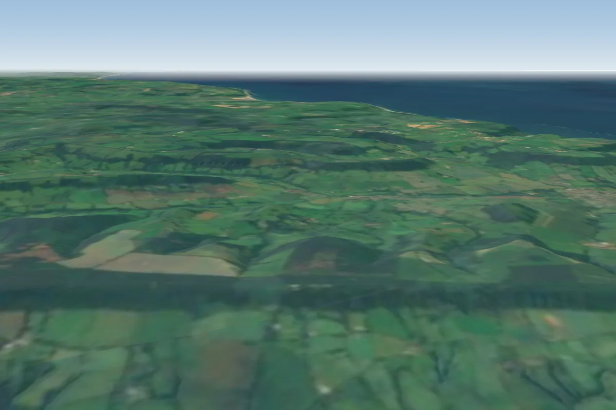 East Hill15 km NE · Faces WWorks in other winds
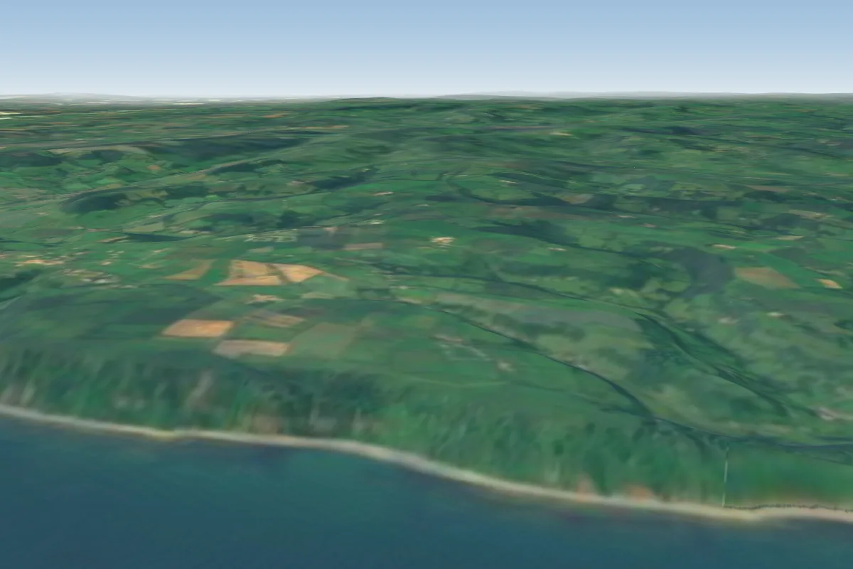 Branscombe16 km NE
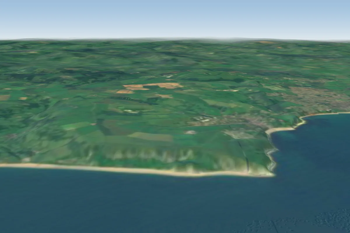 Beer Head19 km NE
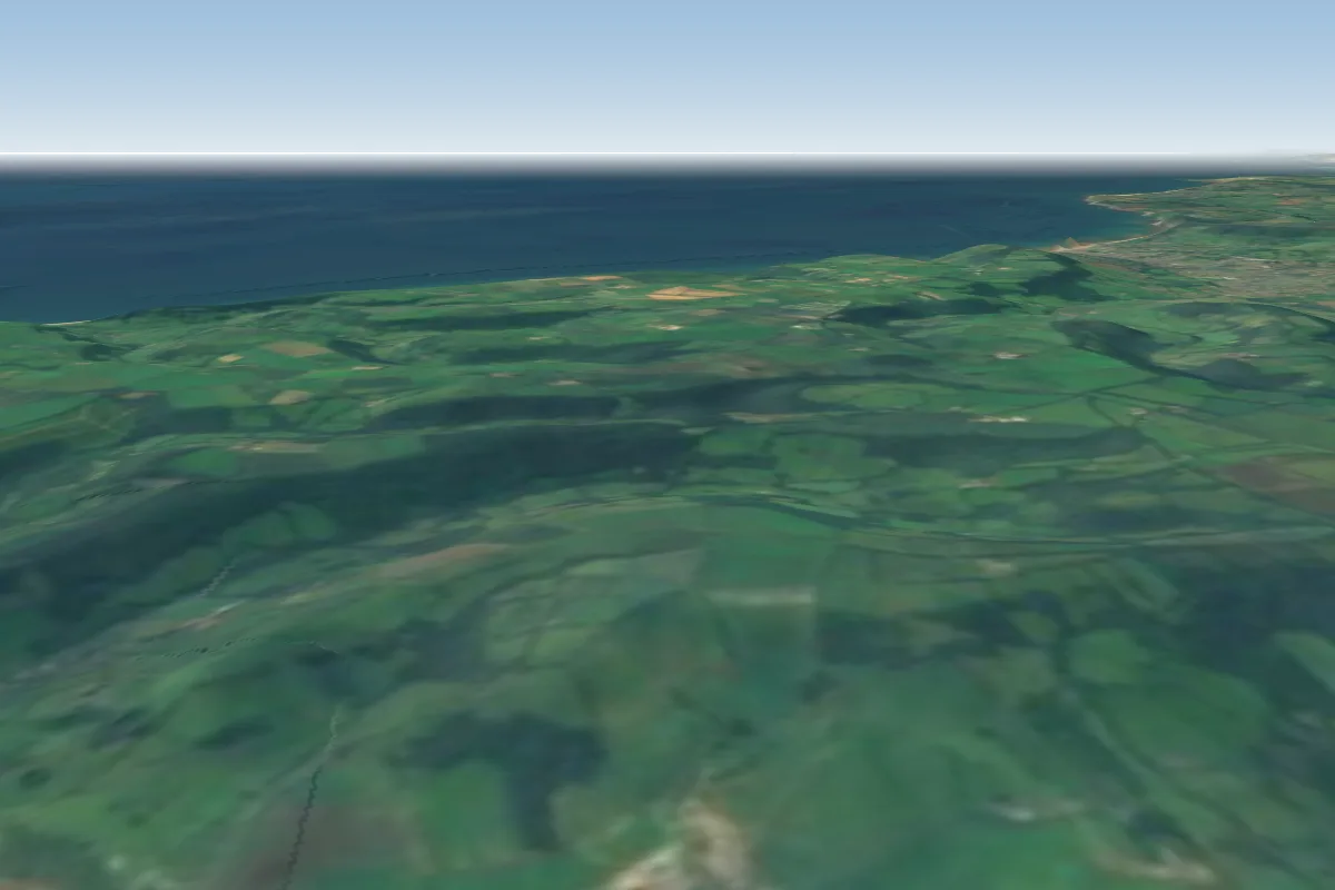 Farway20 km NE · Faces NEWorks in other winds
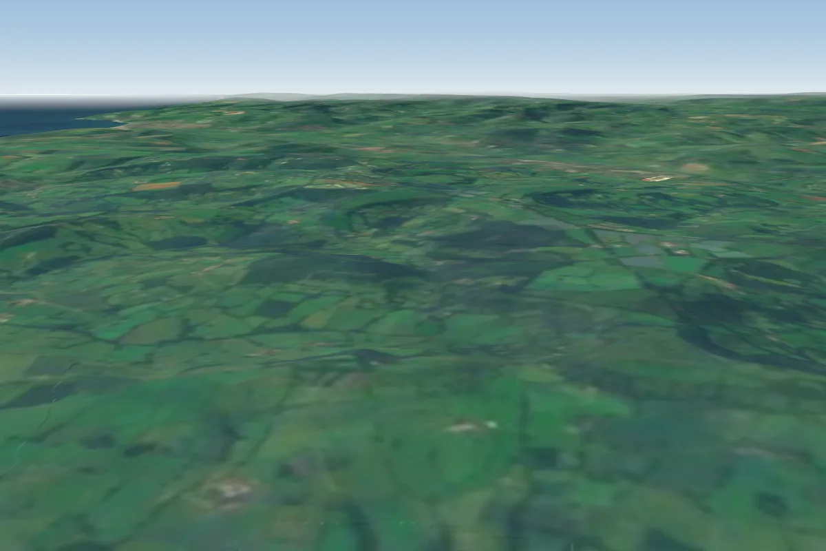 Coney s Castle37 km NE · Faces EWorks in other winds
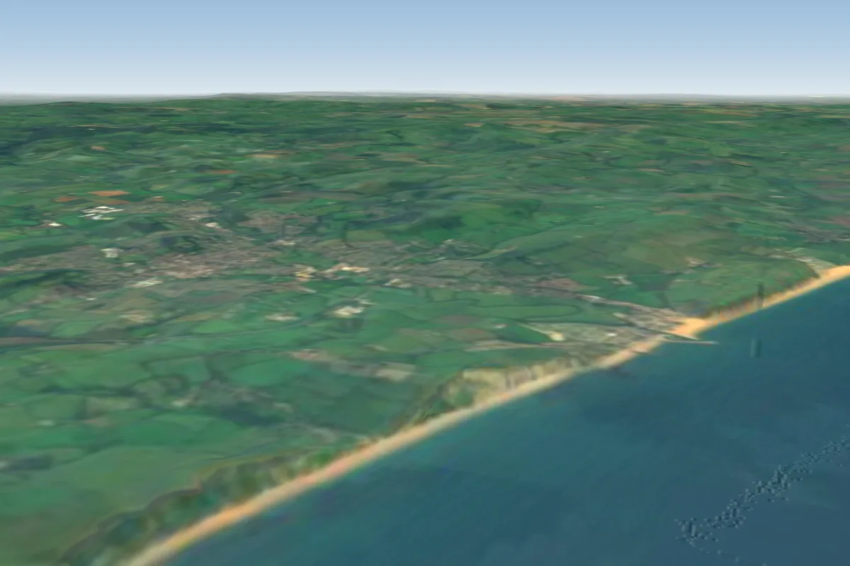 Eype42 km E · Faces S–SWWorks in other winds
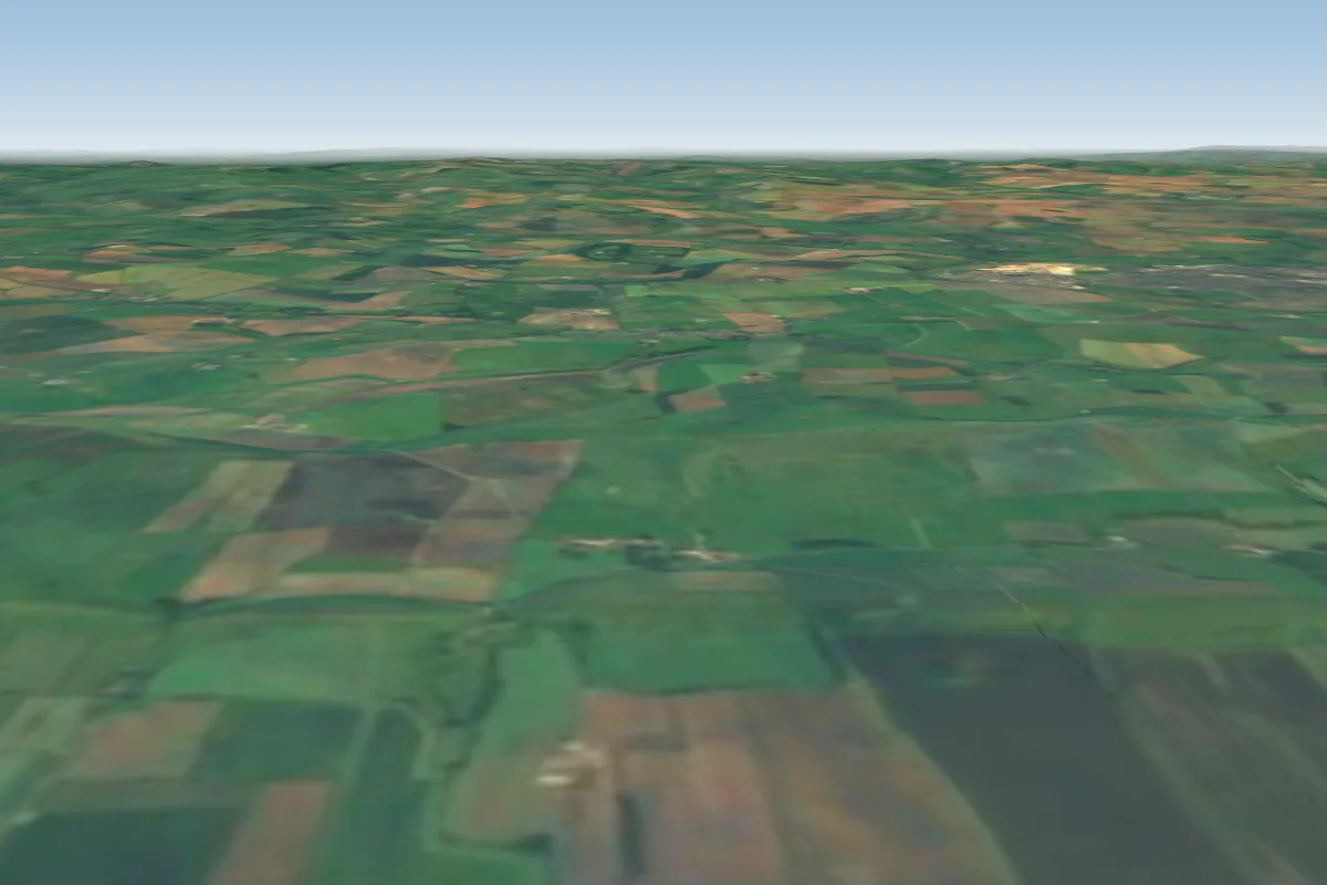 Friar Waddon60 km E · Faces SWorks in other winds
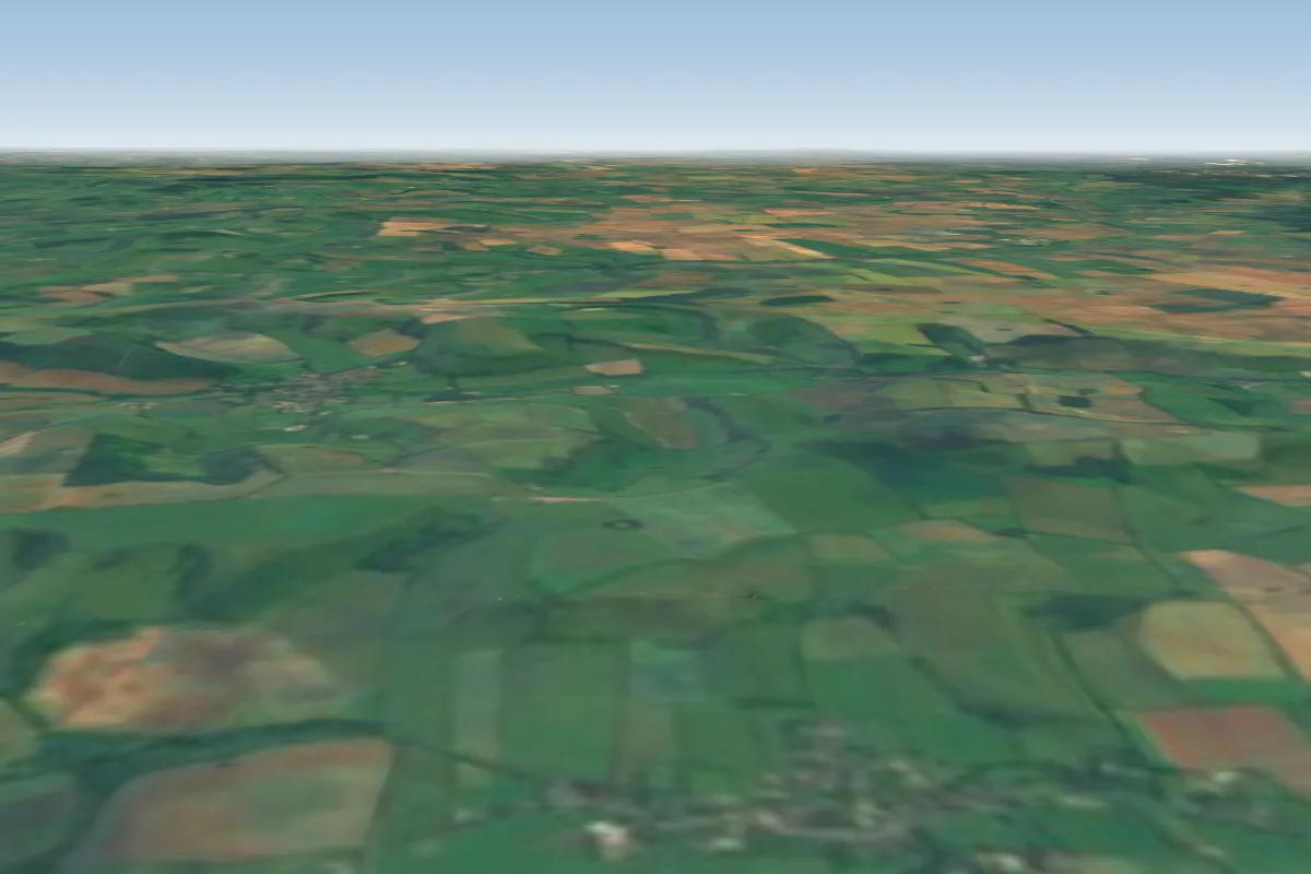 Cowdown63 km E · Faces W–NWWorks in other winds
No notes yet. Flown Sandy Bay? Tell the next pilot what to expect.
Takeoff, landing, rules, the hour by hour forecast and live wind are in the site details on the map.
Open site details