Derbyshire Soaring Club
Manages the site · Membership required
East-facing ridge site · 368 m takeoff · 144 m height gain
Treak Cliff is a hill site in Peak District with a recorded launch elevation of 368 m. It works best in easterly winds, and can also work in north-easterly and south-easterly winds. Pilots fly it for ridge soaring and thermal, using foot launch.
Manages the site · Membership required
Flyable days per month in a typical year.
Flyable days for Treak Cliff are on the way. We are scoring ten years of weather for every site, month by month, against this site, its region and the sites around it.
The nearest towns, for a bed, food and a lift to takeoff.
For the days the wind is wrong: places worth a visit within 10 km of Treak Cliff.
 Treak Cliff CavernOutdoors · 0.2 km awayShow cave in Derbyshire, England
 Blue John CavernOutdoors · 0.3 km awayShow cave in Derbyshire, England
 Speedwell CavernOutdoors · 0.5 km awayShow cave in Derbyshire, England
 Mam TorOutdoors · 1 km awayHill near Castleton in the High Peak of Derbyshire, England
 Titan (cave)Outdoors · 1.2 km awayCave in Derbyshire, England
 Goosehill HallCulture · 1.3 km awayHistoric site in Derbyshire, England
 Peak CavernOutdoors · 1.4 km awayShow cave in Derbyshire, England
 St Edmund's Church, CastletonCulture · 1.5 km awayChurch in Derbyshire, England
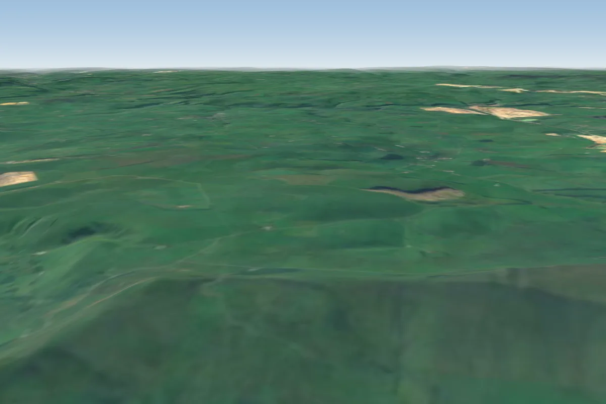 Lords Seat1 km W · Faces NWorks in other winds
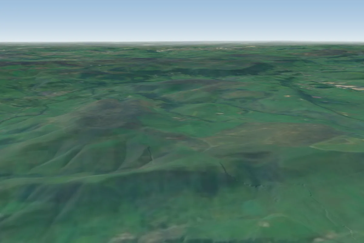 Bradwell5 km SE · Faces WWorks in other winds
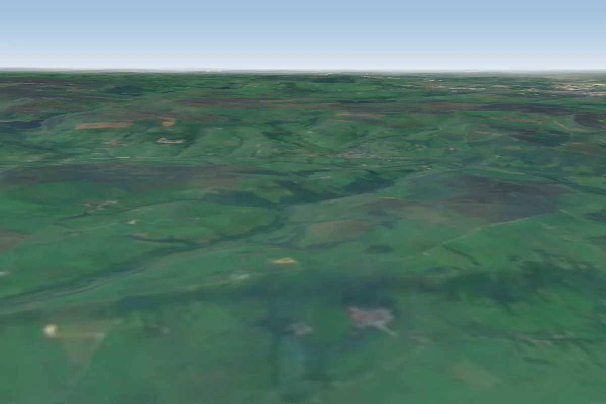 Eyam Edge9 km SE · Faces S–SWWorks in other winds
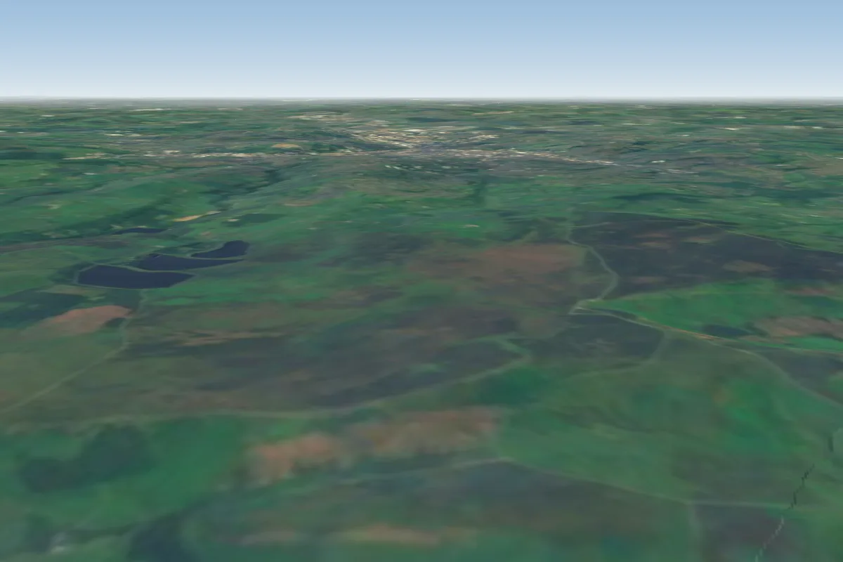 Stanage11 km E · Faces SWWorks in other winds
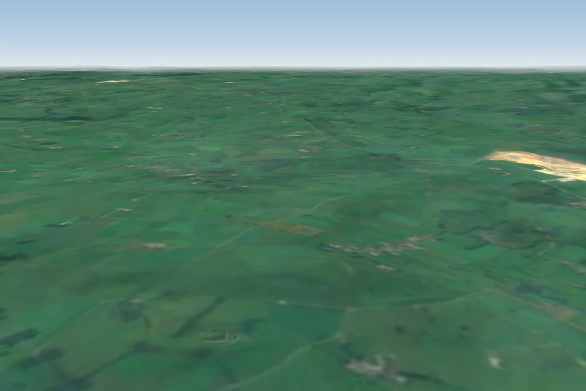 Chelmorton12 km S · Faces NWorks in other winds
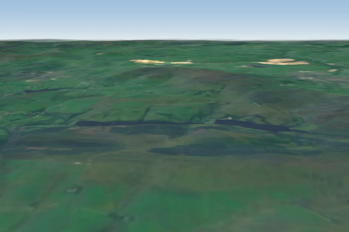 Cats Tor16 km SW · Faces SW–NWWorks in other winds
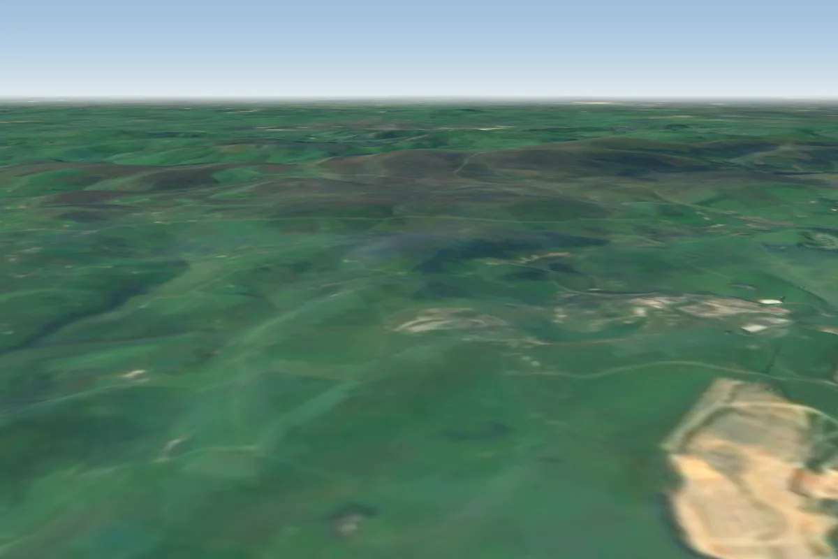 High Edge16 km SW · Faces NE–E
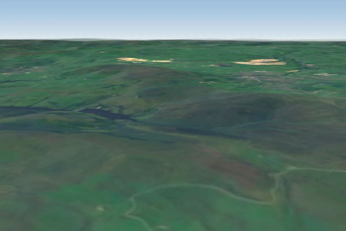 Shining Tor17 km SW · Faces WWorks in other winds
No notes yet. Flown Treak Cliff? Tell the next pilot what to expect.
Takeoff, landing, rules, the hour by hour forecast and live wind are in the site details on the map.
Open site details