Cumbria Soaring Club
Manages the site
Faces SE, SW ridge site · 180 m takeoff
Whitbarrow Scar is a hill site in Lake District — South East Lakes - nr Levens (A590) with a recorded launch elevation of 180 m. It works best in south-easterly and south-westerly winds. Pilots fly it for ridge soaring and thermal, using foot launch. It is recorded as suitable for cross-country flights.
Manages the site
Flyable days per month in a typical year.
Flyable days for Whitbarrow Scar are on the way. We are scoring ten years of weather for every site, month by month, against this site, its region and the sites around it.
The nearest towns, for a bed, food and a lift to takeoff.
For the days the wind is wrong: places worth a visit within 10 km of Whitbarrow Scar.
 Foulshaw MossOutdoors · 1.4 km awayRaised bog and nature reserve in Cumbria, England
 St Paul's Church, WitherslackCulture · 2.1 km awayChurch in Cumbria, England
 St Peter's Church, HevershamCulture · 4.6 km awayChurch in Cumbria, England
 St Anthony's Church, Cartmel FellCulture · 4.8 km awayChurch in Cumbria, England
 Lyth ValleyOutdoors · 4.8 km awayValley in Cumbria, England
 Newton FellOutdoors · 4.9 km awayHill in Cumbria, England
 SizerghCulture · 5.6 km awayHistoric house in Cumbria, England
 Dog Hole CaveCulture · 5.6 km awayArchaeological site in England
 Brigsteer6 km NE · Faces SW–WWorks in other winds
 Farleton Knott10 km SE · Faces SW–NWWorks in other winds
 Ellerside10 km SW · Faces WWorks in other winds
 Humphrey Head13 km SW · Faces SW
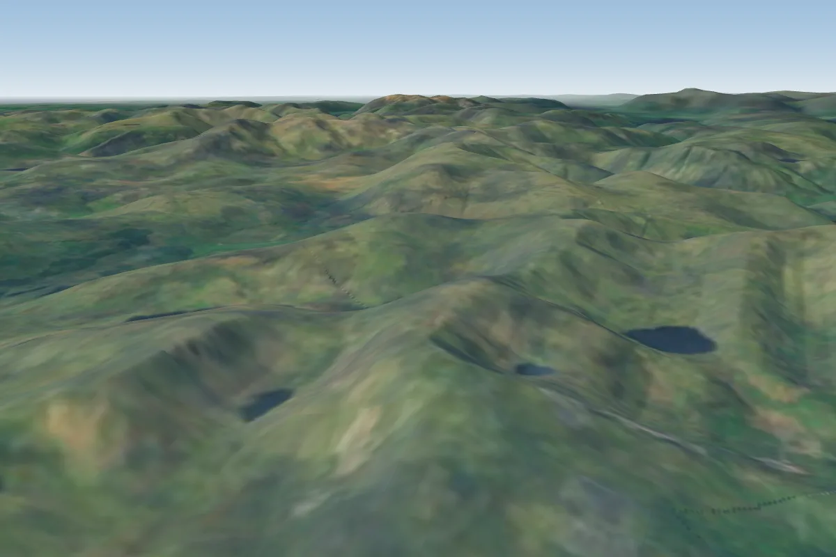 Coniston Old Man22 km NW · Faces NE–SEPossible XC from here on a SE day, 22 km downwindWorks in other winds
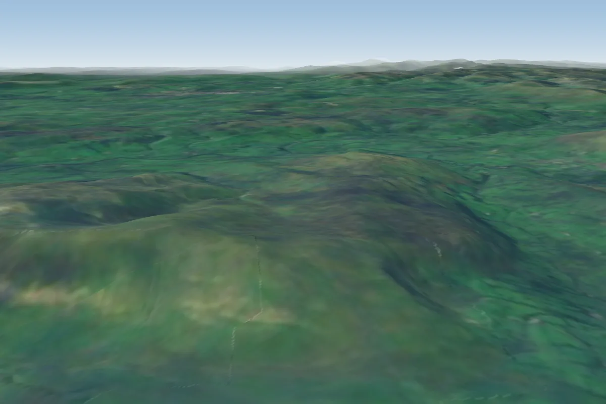 Barkin Fell23 km E · Faces SE
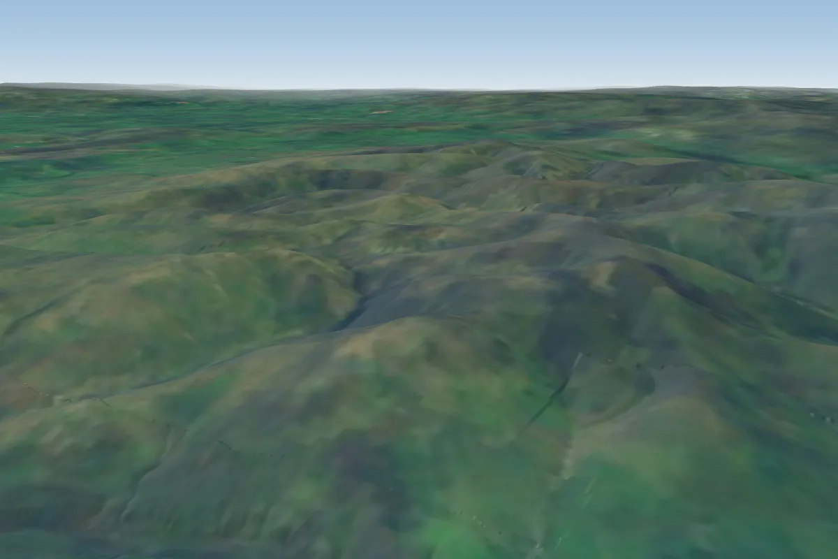 Whitestones23 km NE · Faces SW–WPossible XC from here on a SW day, 23 km downwindWorks in other winds
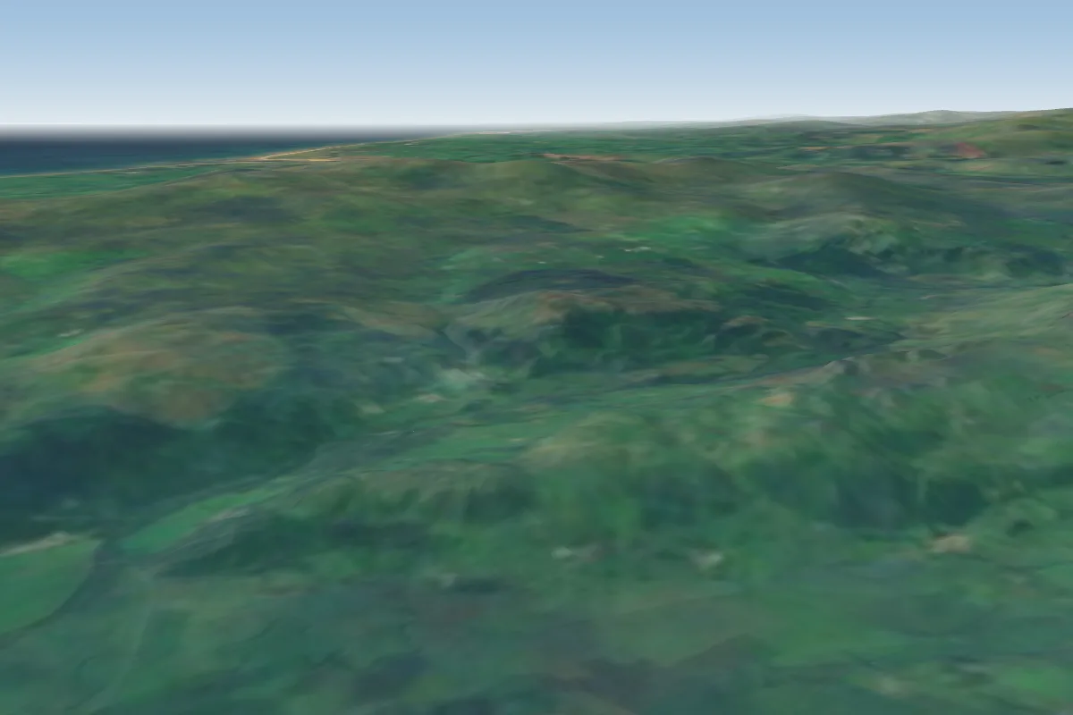 Bleansley25 km W
No notes yet. Flown Whitbarrow Scar? Tell the next pilot what to expect.
Takeoff, landing, rules, the hour by hour forecast and live wind are in the site details on the map.
Open site details