Aphrodite
NE to SE facing ridge site · 675 m takeoff · 334 m height gain
Overview
Aphrodite is a mountain site in Greece with a recorded launch elevation of 675 m. It works best in north-easterly, easterly and south-easterly winds, and can also work in northerly and southerly winds. Pilots fly it for ridge soaring and thermal, using foot launch. It is recorded as suitable for cross-country flights.
- Be aware of Danger-Zone in the north of this Area! See picture! The Epinea-Valley south of Takeoff is very steep, no Landing possible there! Overfly with good Height! Source: ParaglidingEarth
When to go
Flyable days per month in a typical year.
Flyable days for Aphrodite are on the way. We are scoring ten years of weather for every site, month by month, against this site, its region and the sites around it.
Getting there
Nearest airports
- KZI Kozani National Airport Filippos58 km
- SKG Thessaloniki Macedonia International Airport62 km
- VOL Nea Anchialos National Airport103 km
Where to stay
The nearest towns, for a bed, food and a lift to takeoff.
- Litochoro2 km awayBooking.comAirbnb
- Karitsa9 km awayBooking.comAirbnb
- Leptokarya9 km awayBooking.comAirbnb
Things to do
For the days the wind is wrong: places worth a visit within 10 km of Aphrodite.
 Agios Dionysios Monastery, OlympusCulture · 1.1 km awayGreek Orthodox monastery near Mount Olympus, Greece
 Maritime Museum of LitochoroCulture · 2.2 km awayMuseum in Litochoro, Greece
 Archaeological Museum of DionCulture · 6.8 km awayArchaeological museum in Central Macedonia, Greece
 Hellenistic theatre of DionCulture · 7.1 km awayAncient theatre in Dion, Pieria, Greece
 Archaeological Park of DionCulture · 7.5 km awayArchaeological site in Pieria, Greece
 Olympus Geological History MuseumCulture · 9 km awayGeological museum in Leptokarya at Mount Olympus, Greece
 Chapel of the Prophet Elias, Mount OlympusCulture · 9.8 km awayOrthodox chapel at the Mount Olympus in Greece
Flying nearby
See them on the map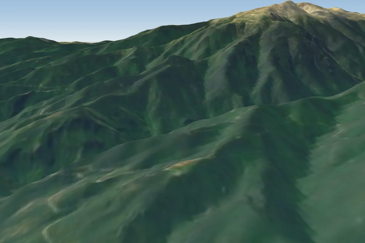 S1 km NW
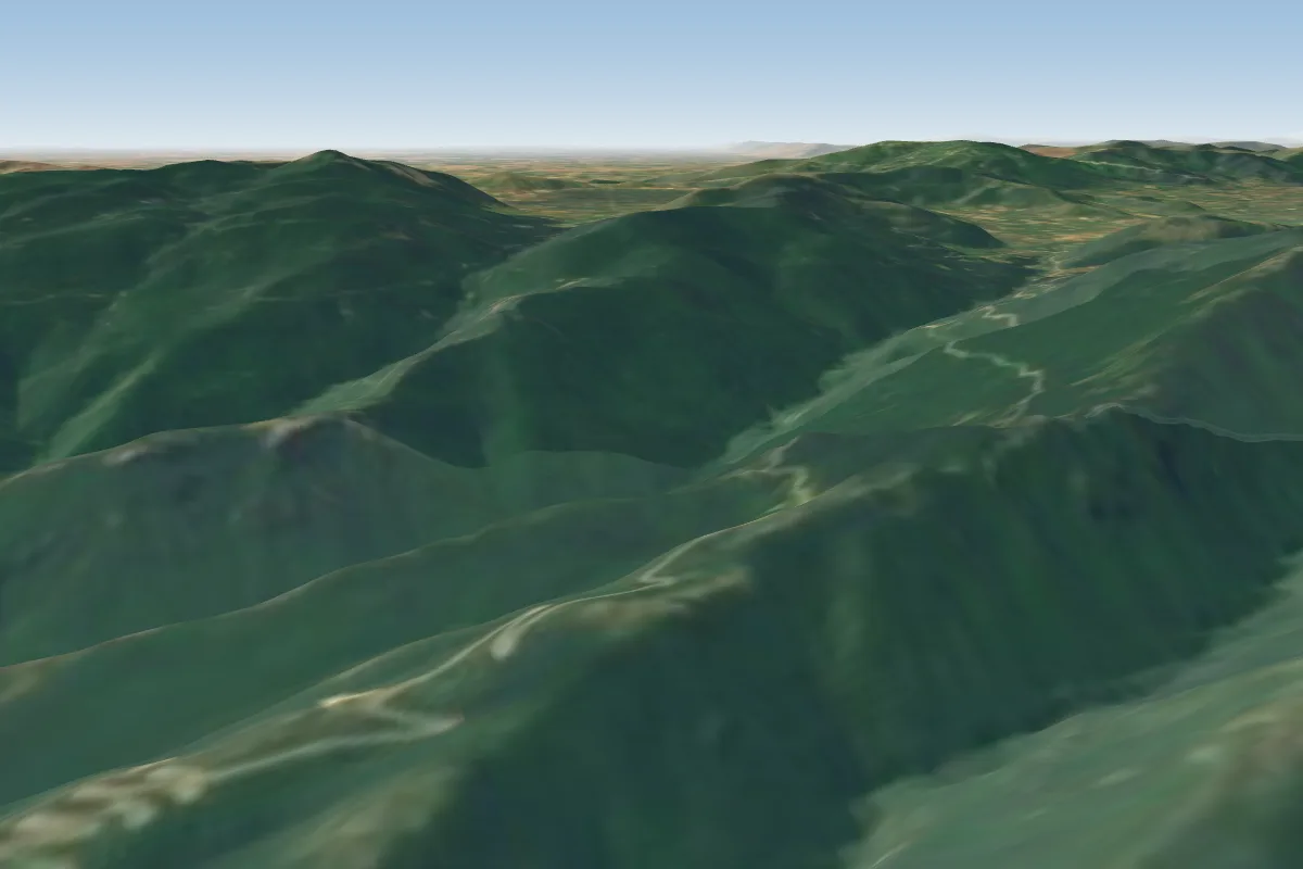 Leptokaryá9 km S · Faces NE
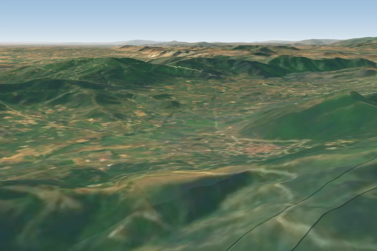 Karya14 km SW
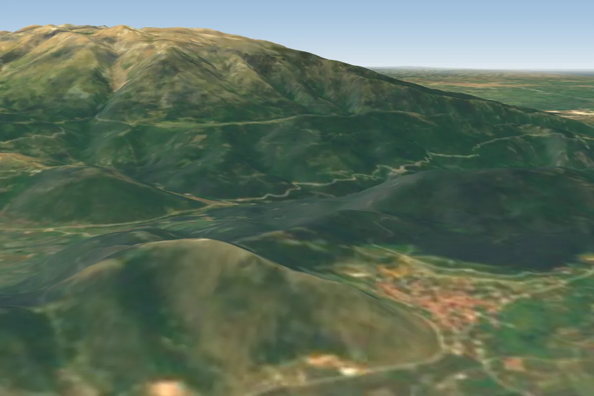 Kallipefki, Larissa16 km S · Faces SE–SWWorks in other winds
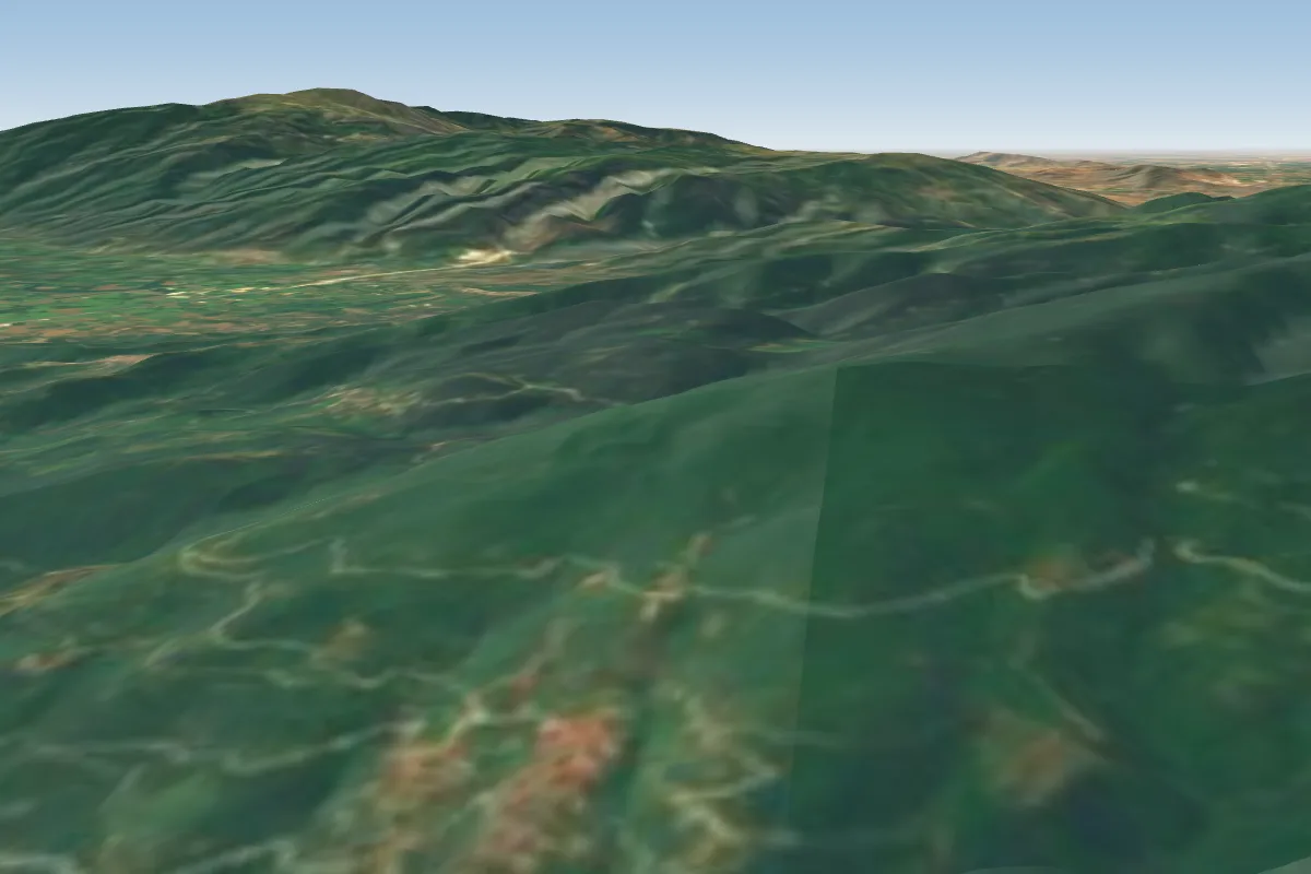 Panteteimonas16 km SE · Faces N–NE
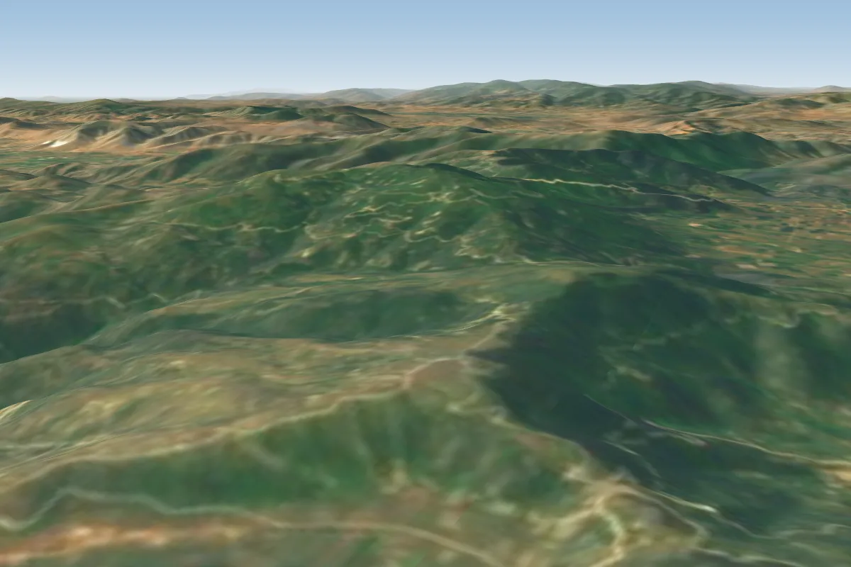 Askorís Límni19 km S
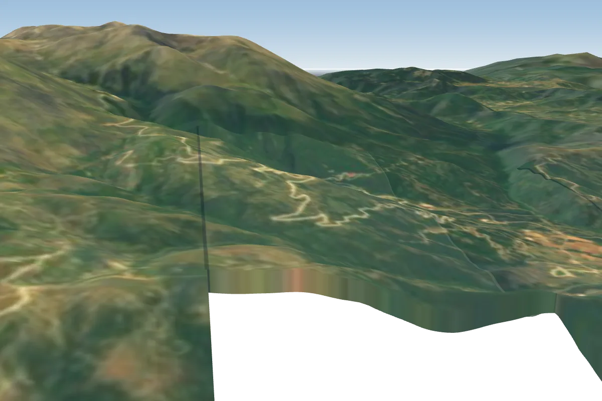 Kalyvia Olympus20 km SW · Faces S–NPossible XC from here on a NE day, 20 km downwindWorks in other winds
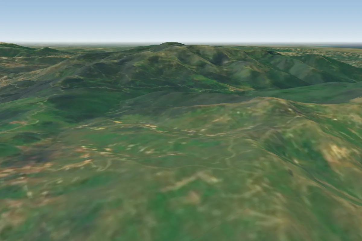 Levadi33 km W · Faces SE–SWPossible XC from here on a E day, 33 km downwindWorks in other winds
Pilot notes
No notes yet. Flown Aphrodite? Tell the next pilot what to expect.
Pilot notes on Aphrodite
Flying Aphrodite?
Takeoff, landing, rules, the hour by hour forecast and live wind are in the site details on the map.
Open site detailsSources
- ParaglidingEarth site record © ParaglidingEarth contributors (CC BY-SA)