Asvestochori water tower kozi
Site · 461 m takeoff
Overview
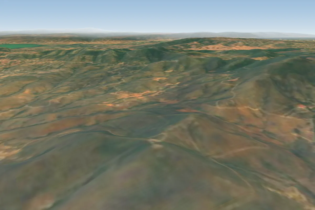
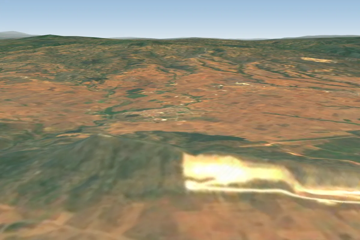
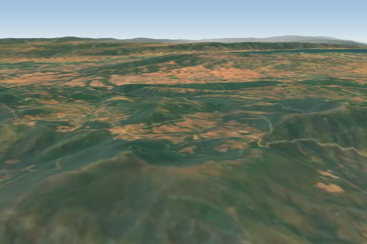
Asvestochori water tower kozi is a flying site in Greece with a recorded launch elevation of 461 m. No launch directions are recorded yet.
- initialy imported from International Leonardo Source: ParaglidingEarth
When to go
Flyable days per month in a typical year.
Flyable days for Asvestochori water tower kozi are on the way. We are scoring ten years of weather for every site, month by month, against this site, its region and the sites around it.
Getting there
Nearest airports
- SKG Thessaloniki Macedonia International Airport13 km
- KZI Kozani National Airport Filippos107 km
- KVA Kavala Alexander the Great International Airport138 km
Where to stay
The nearest towns, for a bed, food and a lift to takeoff.
- Asvestochori1 km awayBooking.comAirbnb
- Panorama5 km away · cityBooking.comAirbnb
- Filyro7 km awayBooking.comAirbnb
Things to do
For the days the wind is wrong: places worth a visit within 10 km of Asvestochori water tower kozi.
 Seih SouOutdoors · 2.4 km awayHill in Greece
 Natural History Museum (Thessaloniki)Culture · 4.3 km awayMuseum in Thessaloniki, Greece
 Teloglion Fine Arts FoundationCulture · 4.9 km awayArt Museum in Agiou Dimitriou , Thessaloniki
 HeptapyrgionCulture · 5 km awayFortress of Thessaloniki, Greece
 War Museum of ThessalonikiCulture · 5.1 km awayWar Museum in Grigoriou Lampraki , Thessaloniki
 Casts Museum (Thessaloniki)Culture · 5.4 km awayArchaeological museum in Thessaloniki, Greece
 OTE TowerCulture · 5.5 km awayTelevision tower, Restaurant, Observation tower in Thessaloniki, Greece
 Museum of Byzantine CultureCulture · 5.5 km awayMuseum in Thessaloniki, Greece
Flying nearby
See them on the map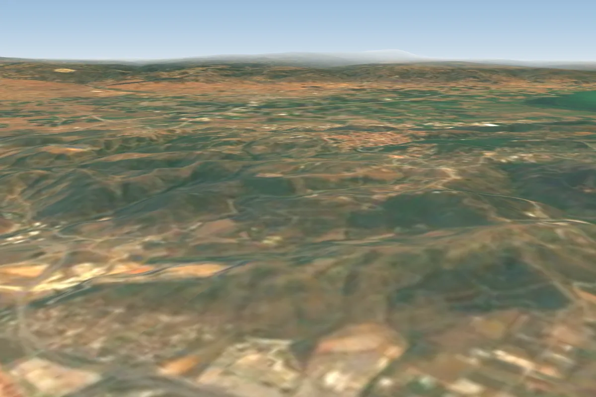
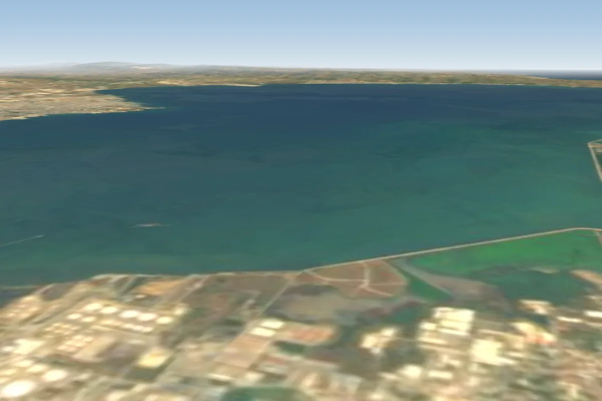
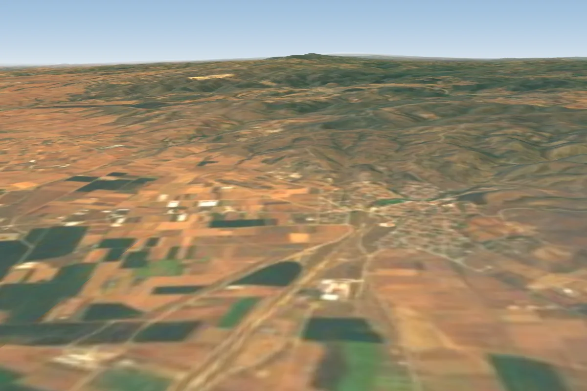
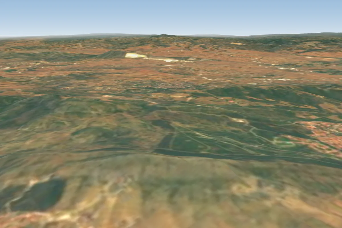
Pilot notes
No notes yet. Flown Asvestochori water tower kozi? Tell the next pilot what to expect.
Pilot notes on Asvestochori water tower kozi
Flying Asvestochori water tower kozi?
Takeoff, landing, rules, the hour by hour forecast and live wind are in the site details on the map.
Open site detailsSources
- ParaglidingEarth site record © ParaglidingEarth contributors (CC BY-SA)