Monte Smith
Site · 82 m takeoff
Overview
Monte Smith is a flying site in Greece with a recorded launch elevation of 82 m. No launch directions are recorded yet.
When to go
Flyable days per month in a typical year.
Flyable days for Monte Smith are on the way. We are scoring ten years of weather for every site, month by month, against this site, its region and the sites around it.
Local weather notes
- WNW wind. In the summer usually too strong in the afternoon. Mornings or evenings work best. Source: ParaglidingEarth
Getting there
Nearest airports
- RHO Rhodes International Airport "Diagoras"12 km
- DLM Dalaman International Airport60 km
- BJV Milas Bodrum International Airport102 km
Where to stay
The nearest towns, for a bed, food and a lift to takeoff.
- Rhodes2 km away · cityBooking.comAirbnb
- Ialysos5 km awayBooking.comAirbnb
- Koskinou6 km awayBooking.comAirbnb
Things to do
For the days the wind is wrong: places worth a visit within 10 km of Monte Smith.
 St. Francis of Assisi Cathedral, RhodesCulture · 1.5 km awayCatholic cathedral in Rhodes, Greece
 Hagios Spyridon, RhodesCulture · 1.6 km awayByzantine church in Rhodes, Greece
 Church of St John of the CollachiumCulture · 1.6 km awayDestroyed medieval church in Rhodes, Greece
 Holy Trinity Church, RhodesCulture · 1.7 km awayGreek Orthodox church in Rhodes, Greece
 Archaeological Museum of RhodesCulture · 1.8 km awayMuseum on Rhodes Island, Greece
 Panagia tou KastrouCulture · 1.8 km awayChurch in Rhodes, Greece
 Aquarium of RhodesCulture · 2.3 km awayAquarium in Rhodes, Greece
 PetaloudesOutdoors · 8.6 km awayMunicipal unit in Rhodes, Greece, associated with "the valley of the butterflies."
Flying nearby
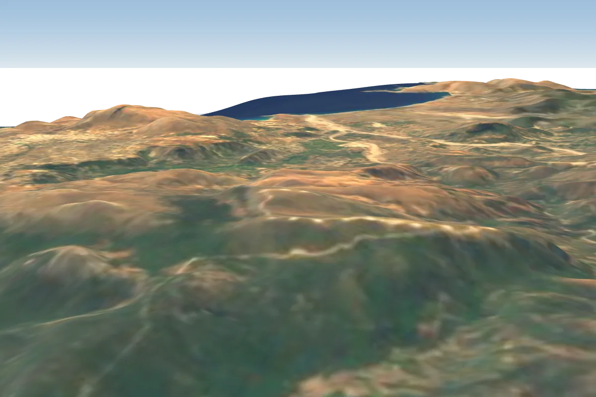
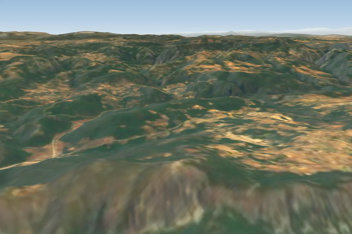
See them on the map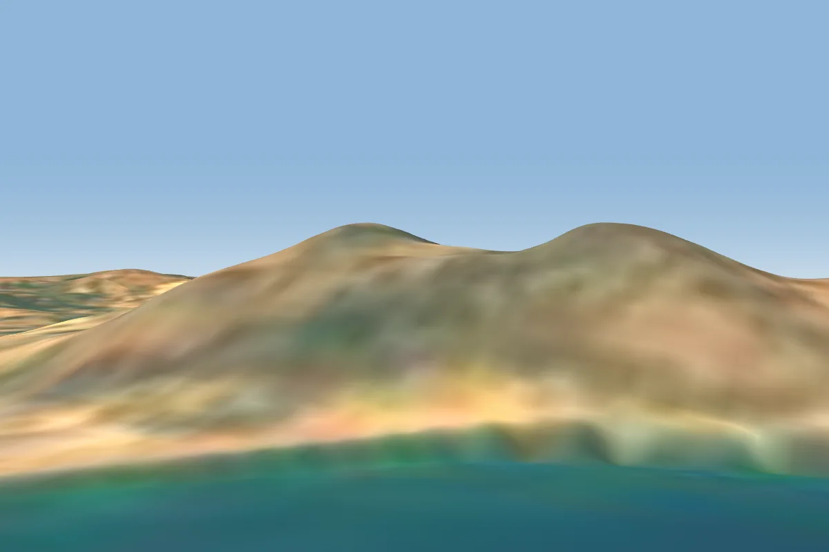
Pilot notes
No notes yet. Flown Monte Smith? Tell the next pilot what to expect.
Pilot notes on Monte Smith
Flying Monte Smith?
Takeoff, landing, rules, the hour by hour forecast and live wind are in the site details on the map.
Open site detailsSources
- ParaglidingEarth site record © ParaglidingEarth contributors (CC BY-SA)