Panahaiko (Lower-1100m)
SW to NW facing site · 1,170 m takeoff
Overview
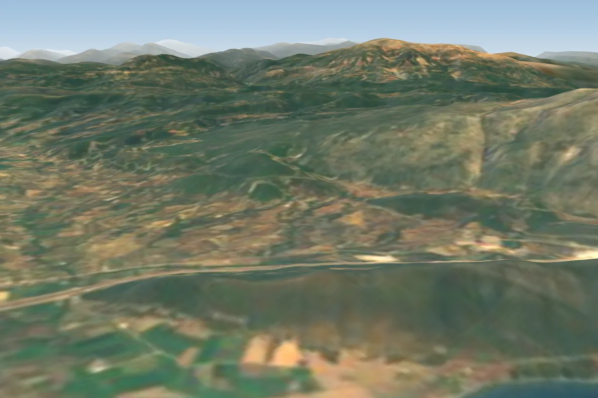
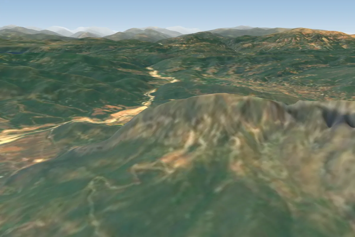
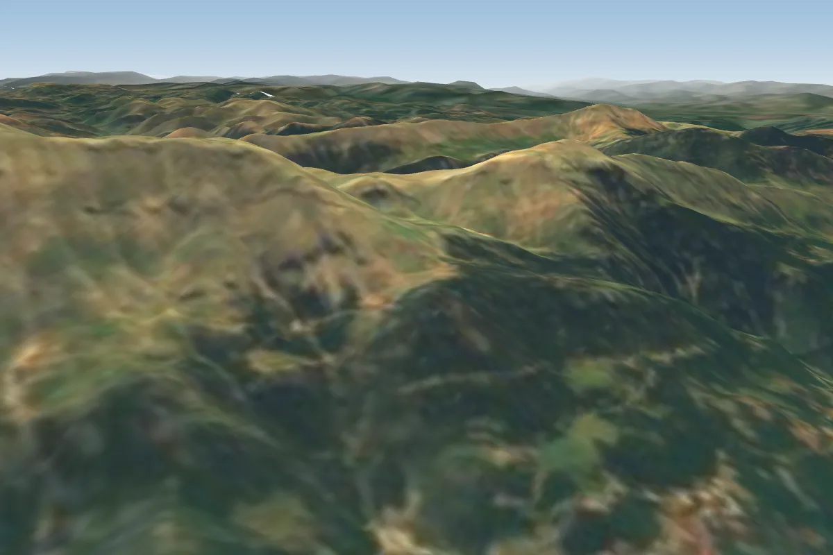
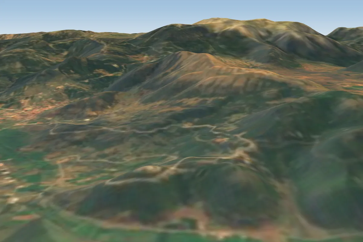
Panahaiko (Lower-1100m) is a flying site in Greece with a recorded launch elevation of 1,170 m. It is recorded as workable in south-westerly, westerly and north-westerly winds.
- The flight can take some time. One can choose a cross-country route: to Rio, Omblo, and the top of the Panahaiko mountain and from there on to Leondio, Rakita and Kalavrita... Source: ParaglidingEarth
When to go
Flyable days per month in a typical year.
Flyable days for Panahaiko (Lower-1100m) are on the way. We are scoring ten years of weather for every site, month by month, against this site, its region and the sites around it.
Getting there
Nearest airports
- GPA Patras Araxos Agamemnon Airport36 km
- ZTH Zakynthos International Airport Dionysios Solomos98 km
- EFL Kefallinia Airport117 km
Where to stay
The nearest towns, for a bed, food and a lift to takeoff.
- Patras9 km away · cityBooking.comAirbnb
- Nafpaktos19 km awayBooking.comAirbnb
- Aigio22 km away · cityBooking.comAirbnb
Things to do
For the days the wind is wrong: places worth a visit within 10 km of Panahaiko (Lower-1100m).
 PanachaikoOutdoors · 4.1 km awayMountain range in northwest Peloponnese, Greece
 Mycenaean cemetery of VoudeniCulture · 5.4 km awayArchaeological site in Western Greece
 Achaia ClaussCulture · 6.2 km awayGreek winery
 Roman and Medieval Aqueducts of PatrasCulture · 7.2 km awayRoman aqueduct in Patras, Greece
 OmplosOutdoors · 7.9 km awayMountain in Achaea, Greece
 Patras CastleCulture · 8.1 km awayPatras Castle, Greece
- Zoological Museum of the University of PatrasCulture · 8.1 km awayMuseum in Patras, Greece
Flying nearby
See them on the map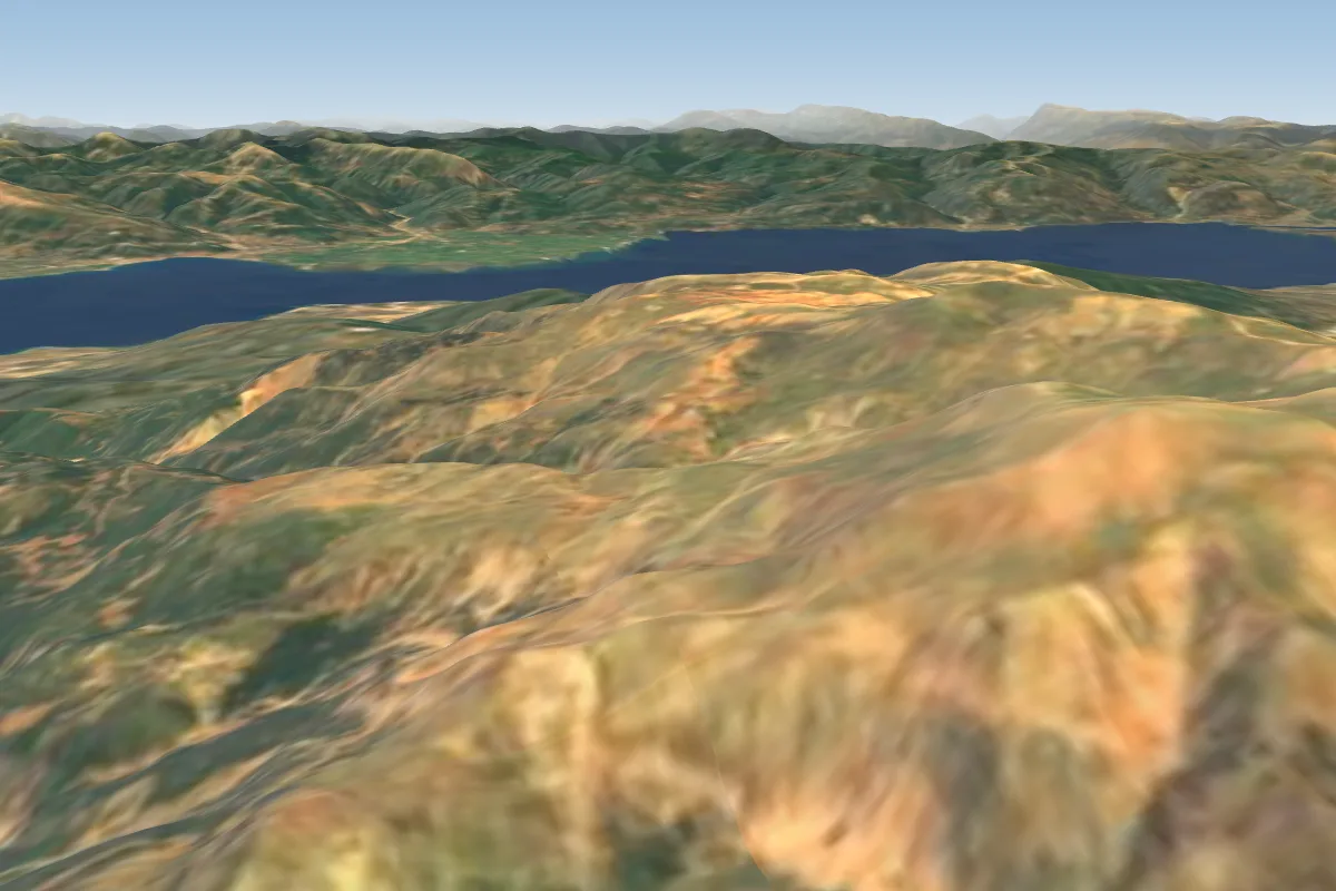
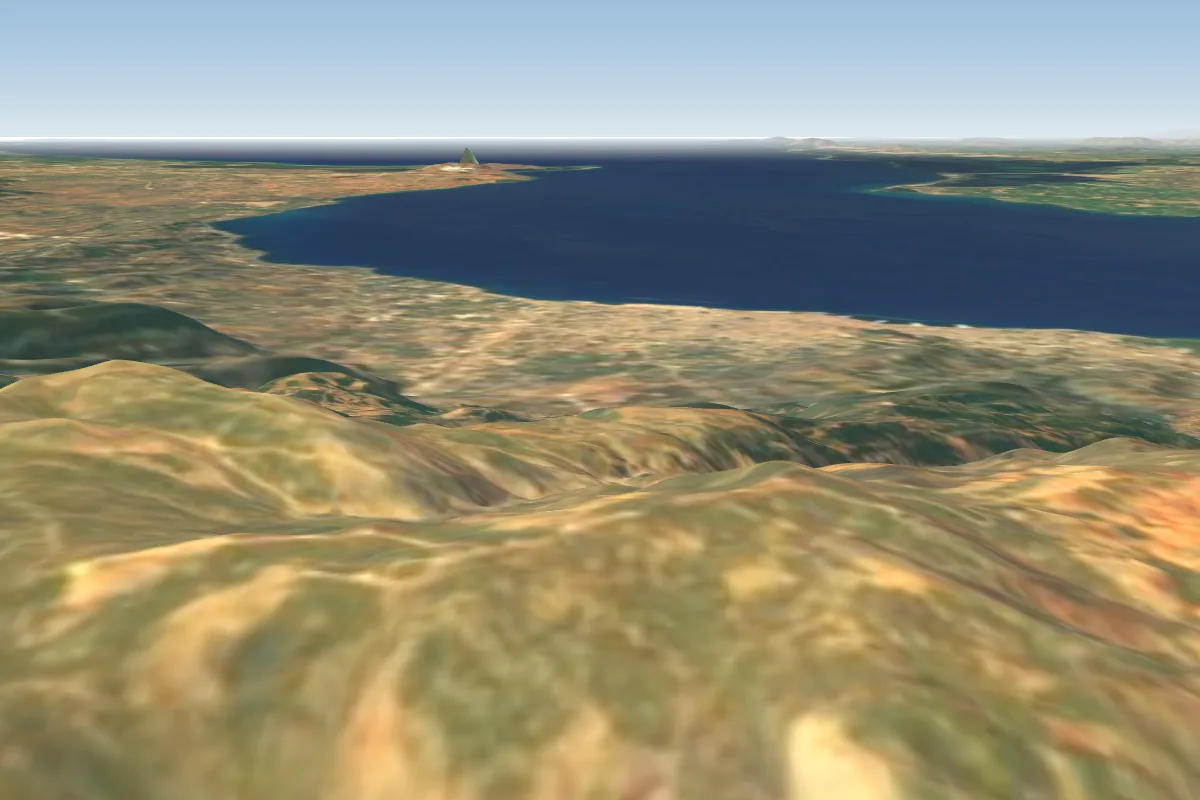
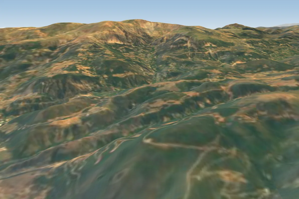
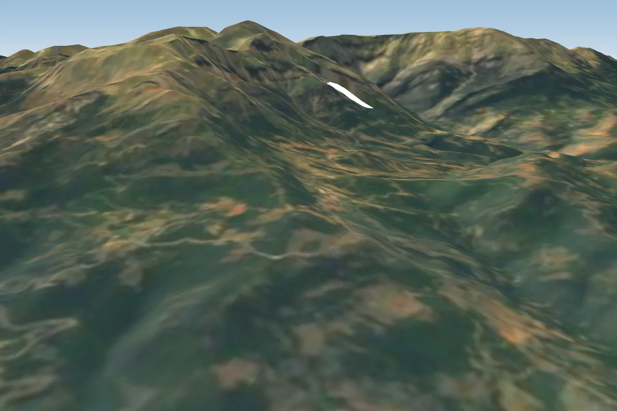
Pilot notes
No notes yet. Flown Panahaiko (Lower-1100m)? Tell the next pilot what to expect.
Pilot notes on Panahaiko (Lower-1100m)
Flying Panahaiko (Lower-1100m)?
Takeoff, landing, rules, the hour by hour forecast and live wind are in the site details on the map.
Open site detailsSources
- ParaglidingEarth site record © ParaglidingEarth contributors (CC BY-SA)