Pirgi-Petrousa
SE to W facing thermal site · 1,195 m takeoff · 962 m height gain
Overview
Pirgi-Petrousa is a flatland site in Greece with a recorded launch elevation of 1,195 m. It works best in south-easterly, southerly, south-westerly and westerly winds, and can also work in north-easterly winds. Pilots fly it for thermal, using foot launch. It is recorded as suitable for cross-country flights.
- Flyable period from February to November Take off for the competition Aioleia which is organized in the area during June Source: ParaglidingEarth
When to go
Flyable days per month in a typical year.
Flyable days for Pirgi-Petrousa are on the way. We are scoring ten years of weather for every site, month by month, against this site, its region and the sites around it.
Local weather notes
- Strong thermals at summer midday pilots with small thermaling experience should be carefull Source: ParaglidingEarth
Getting there
Nearest airports
- KVA Kavala Alexander the Great International Airport63 km
- SKG Thessaloniki Macedonia International Airport116 km
- PDV Plovdiv International Airport118 km
Where to stay
The nearest towns, for a bed, food and a lift to takeoff.
- Prosotsani6 km awayBooking.comAirbnb
- Xiropotamos10 km awayBooking.comAirbnb
- Drama15 km away · cityBooking.comAirbnb
Flying nearby
See them on the map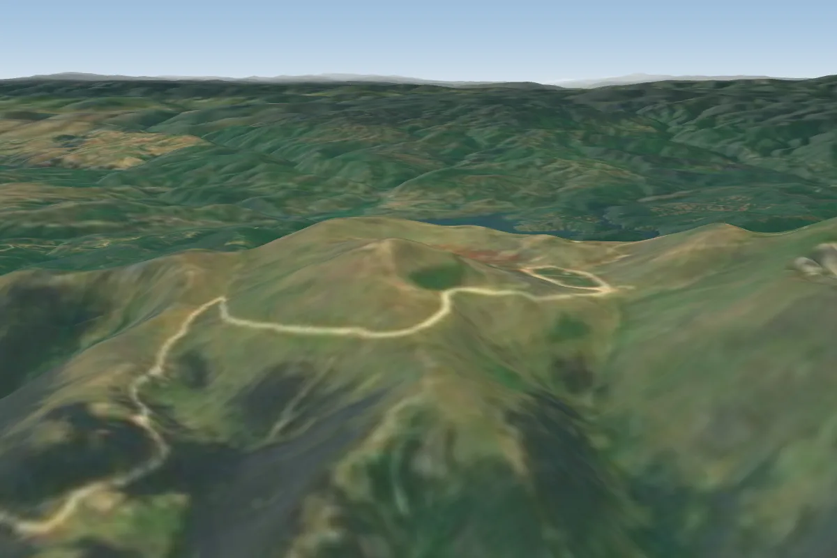 Orosimo-Falakro9 km NE
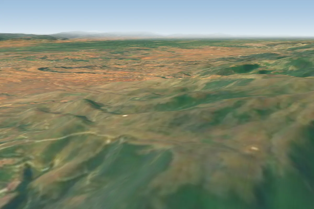 Skopia16 km SW · Faces NE
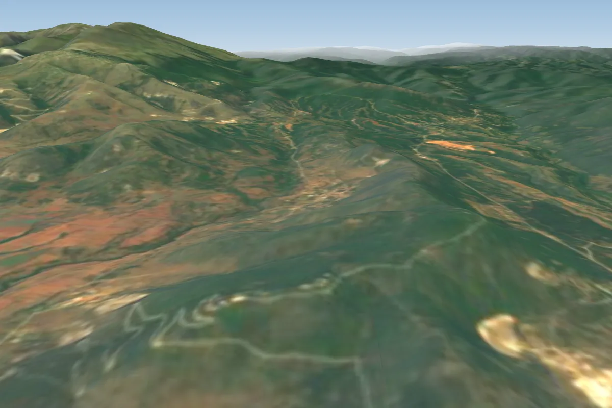 Korilovos South16 km SE · Faces E–SWPossible XC from here on a W day, 16 km downwindWorks in other winds
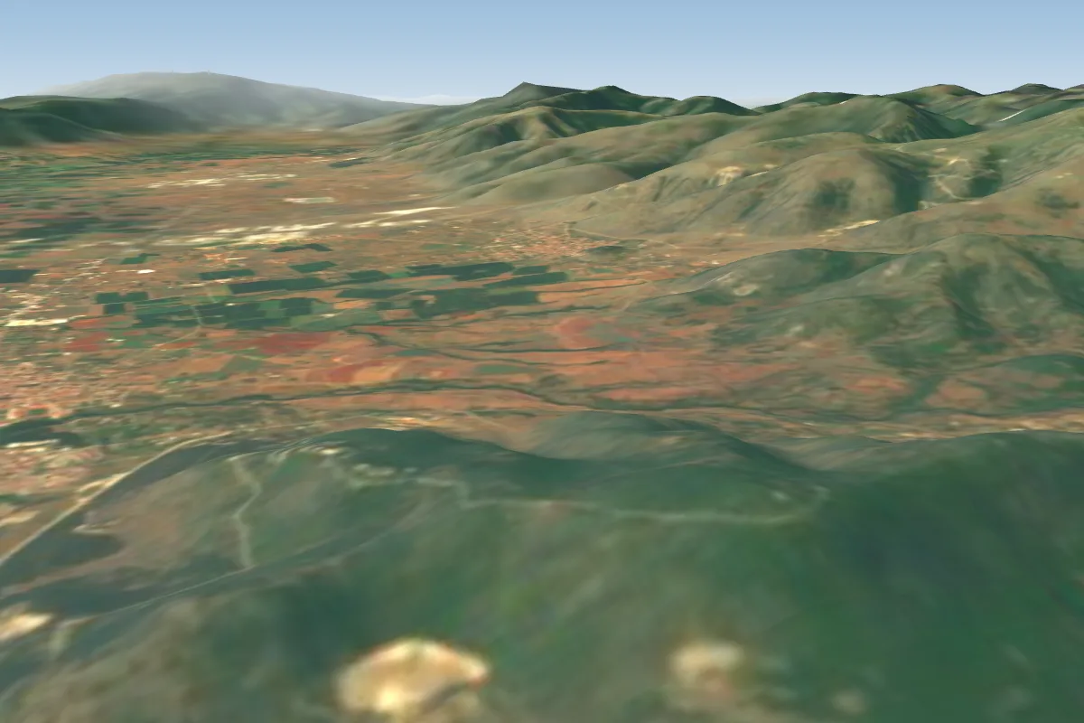 Korilovos East16 km E · Faces EPossible XC from here on a W day, 16 km downwindWorks in other winds
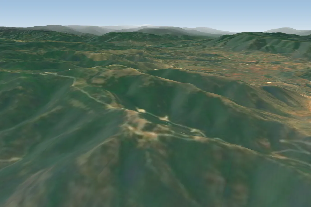 Kalifytos22 km E · Faces E, SE, W, NWPossible XC from here on a W day, 22 km downwindWorks in other winds
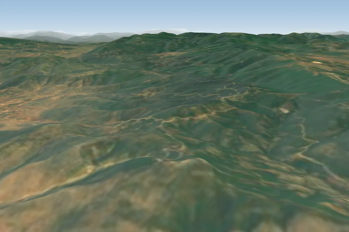 Panagia-Kefalari31 km SE · Faces SW–W
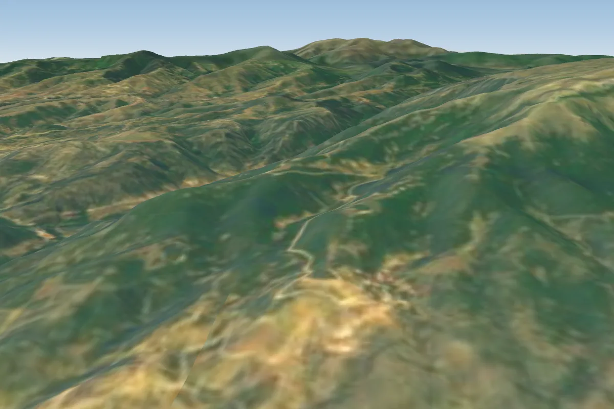 Chionochori31 km W · Faces SE–S
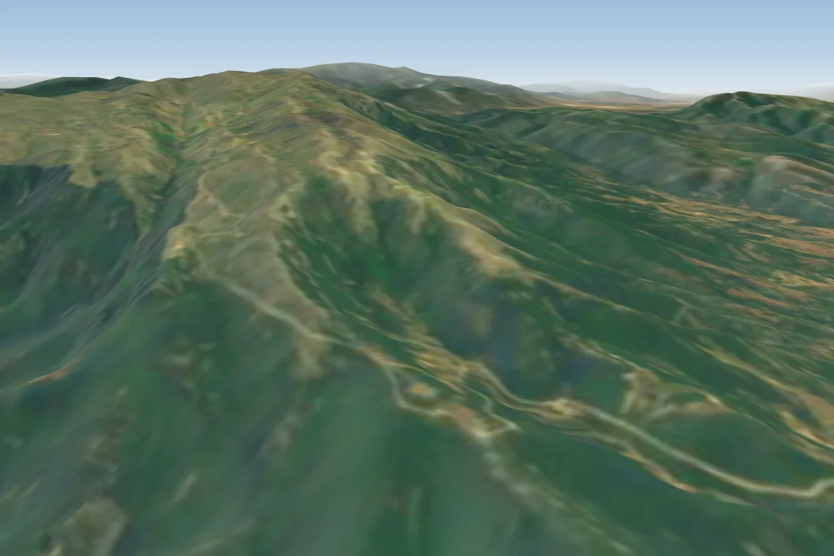 Ano Lekani31 km W
More paragliding sites near Pirgi-Petrousa
- Georgiani 32 km away
Pilot notes
No notes yet. Flown Pirgi-Petrousa? Tell the next pilot what to expect.
Pilot notes on Pirgi-Petrousa
Flying Pirgi-Petrousa?
Takeoff, landing, rules, the hour by hour forecast and live wind are in the site details on the map.
Open site detailsSources
- ParaglidingEarth site record © ParaglidingEarth contributors (CC BY-SA)