Japetic
South-facing ridge site · 801 m takeoff · 608 m height gain
Overview
Japetic is a flatland site in Croatia with a recorded launch elevation of 801 m. It works best in southerly winds, and can also work in south-easterly and south-westerly winds. Pilots fly it for ridge soaring and thermal, using foot launch. It is recorded as suitable for cross-country flights.
- be sure to contact the site operator before takeoff (number on the table) weather station data available at: http://www.parafreek.hr/meteojap.php Source: ParaglidingEarth
When to go
Flyable days per month in a typical year.
Flyable days for Japetic are on the way. We are scoring ten years of weather for every site, month by month, against this site, its region and the sites around it.
Local weather notes
- avoid the east wind - although it may seem flyable, there is a strong possibility of turbulences Source: ParaglidingEarth
Getting there
Nearest airports
- ZAG Zagreb Franjo Tuđman International Airport36 km
- MBX Maribor Edvard Rusjan Airport82 km
- RJK Rijeka Airport99 km
Where to stay
The nearest towns, for a bed, food and a lift to takeoff.
- Jastrebarsko9 km awayBooking.comAirbnb
- Samobor11 km awayBooking.comAirbnb
- Sveta Nedelja15 km awayBooking.comAirbnb
Flying nearby
See them on the map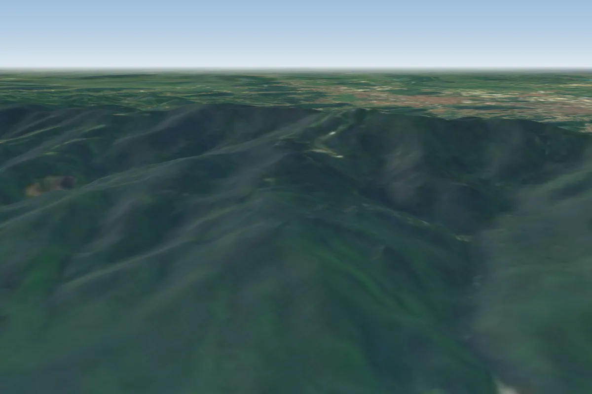 Sljeme31 km NE · Faces W–NWorks in other winds
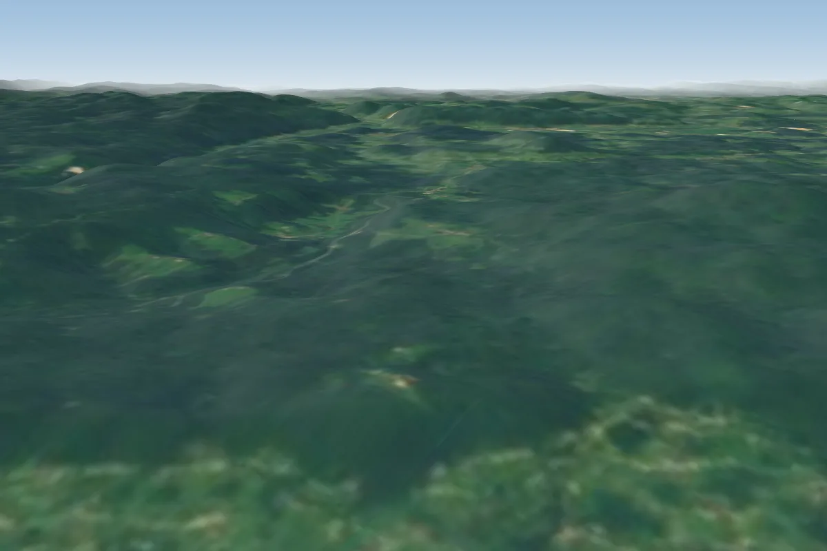 Smuk34 km W · Faces E–SEWorks in other winds
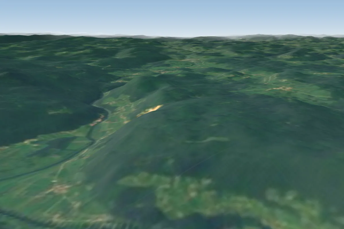 Straski hrib - Peter43 km W · Faces E–SWorks in other winds
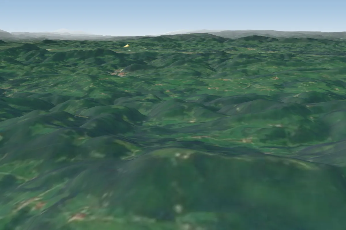 Lisca44 km NW · Faces E–SWorks in other winds
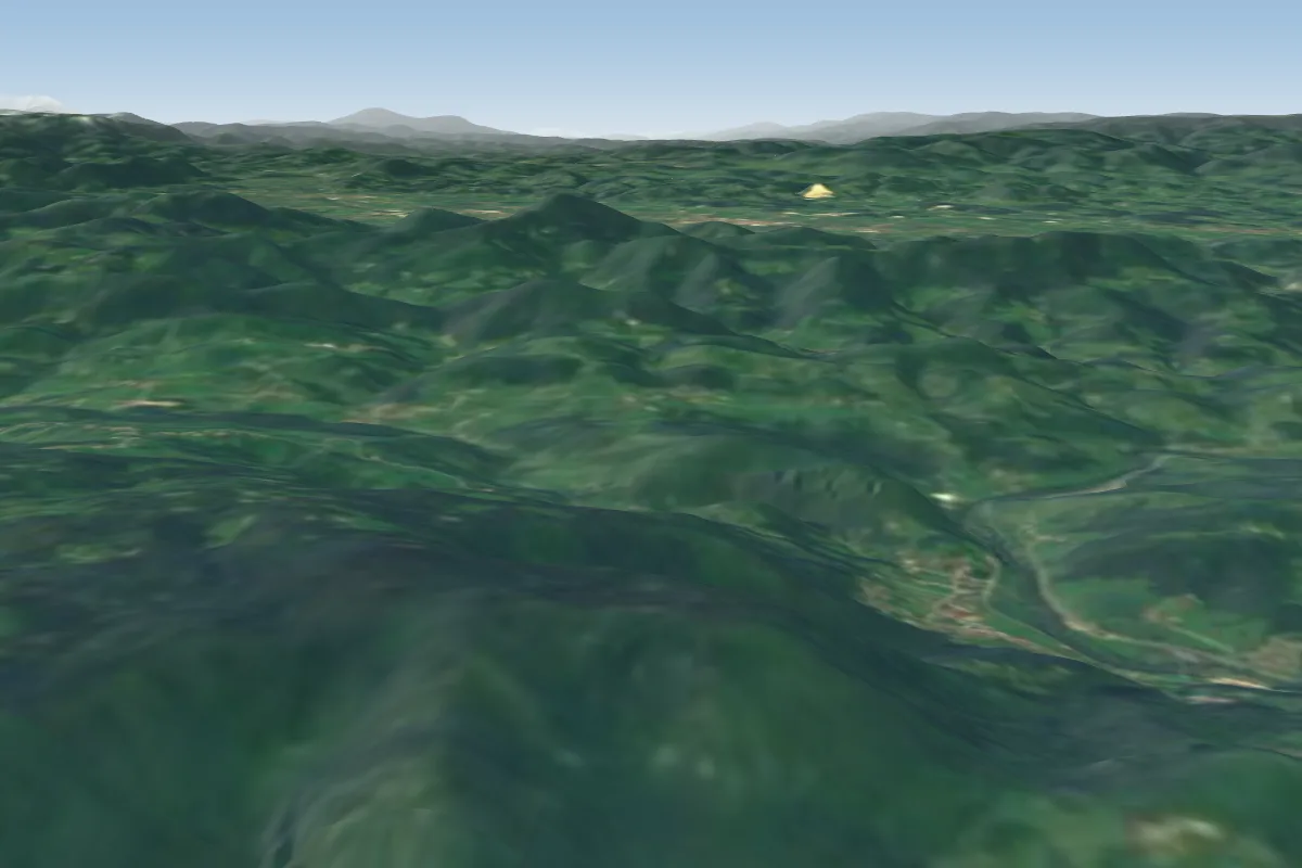 Kopitnik-S52 km NW · Faces S
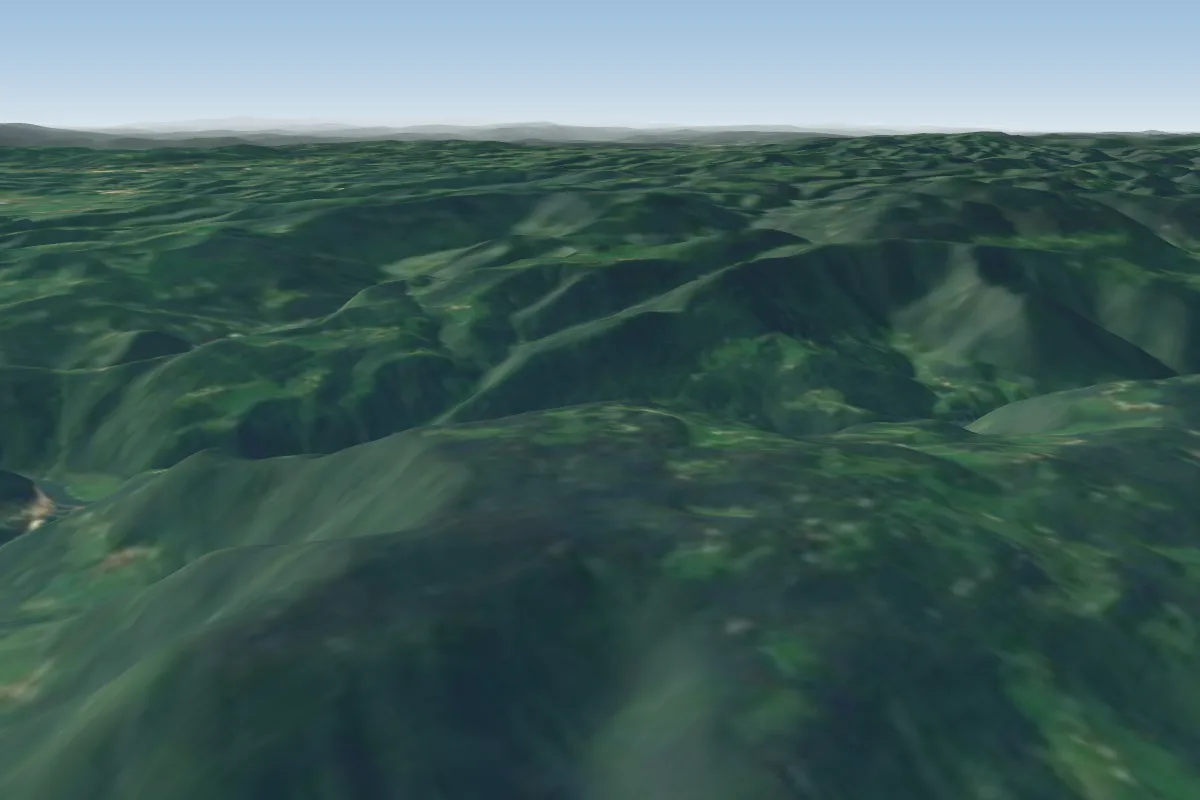 Kopitnik53 km NW · Faces NW–NEWorks in other winds
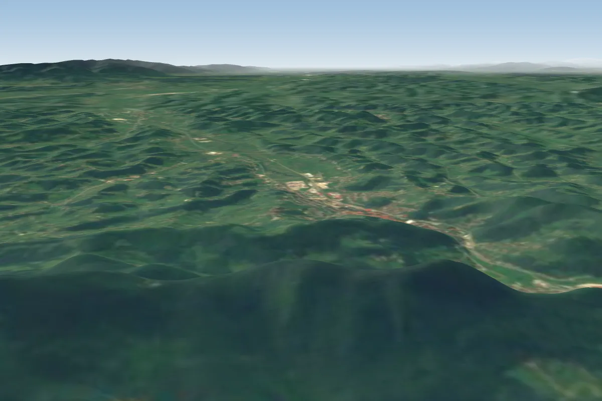 Strahinjcica North54 km NE · Faces NW–NEPossible XC from here on a S day, 54 km downwindWorks in other winds
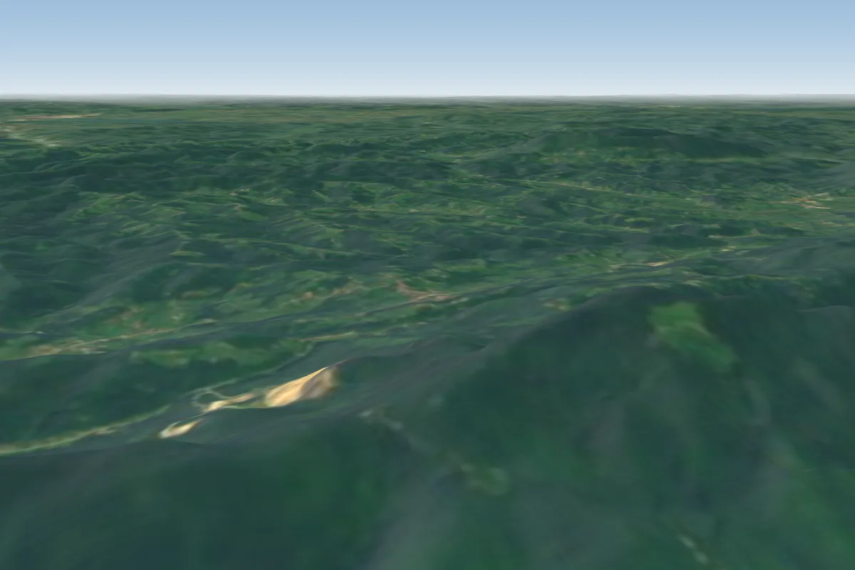 Strahinjcica South54 km NE · Faces SE–SPossible XC from here on a S day, 54 km downwind
More paragliding sites near Japetic
- Donacka gora 59 km away
Pilot notes
No notes yet. Flown Japetic? Tell the next pilot what to expect.
Pilot notes on Japetic
Flying Japetic?
Takeoff, landing, rules, the hour by hour forecast and live wind are in the site details on the map.
Open site detailsSources
- ParaglidingEarth site record © ParaglidingEarth contributors (CC BY-SA)