Promina
SW to W facing thermal site · 1,080 m takeoff · 752 m height gain
Overview
Promina is a mountain site in Croatia with a recorded launch elevation of 1,080 m. It works best in south-westerly and westerly winds, and can also work in southerly winds. Pilots fly it for thermal, using foot launch. It is recorded as suitable for cross-country flights.
- ENGLISH please! U ljetnim mjesecima ne letjeti iznaz 1900m. jer bi mogli napravit rekord u XC preletima ako vas pokupi avion. Letilište nije registrirano. Source: ParaglidingEarth
When to go
Flyable days per month in a typical year.
Flyable days for Promina are on the way. We are scoring ten years of weather for every site, month by month, against this site, its region and the sites around it.
Getting there
Nearest airports
- SPU Split Saint Jerome Airport44 km
- ZAD Zadar Airport68 km
- BWK Brač Airport82 km
Where to stay
The nearest towns, for a bed, food and a lift to takeoff.
- Drniš7 km awayBooking.comAirbnb
- Knin13 km awayBooking.comAirbnb
- Vrlika19 km awayBooking.comAirbnb
Things to do
For the days the wind is wrong: places worth a visit within 10 km of Promina.

Flying nearby
See them on the map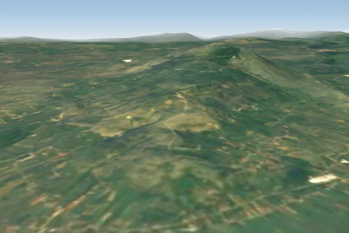 Drniš6 km S · Faces S
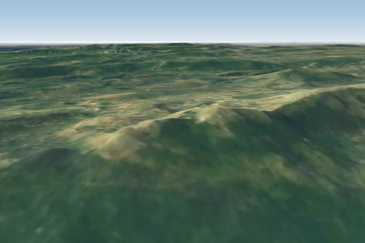 Svilaja30 km SE · Faces N–NEPossible XC from here on a W day, 30 km downwindWorks in other winds
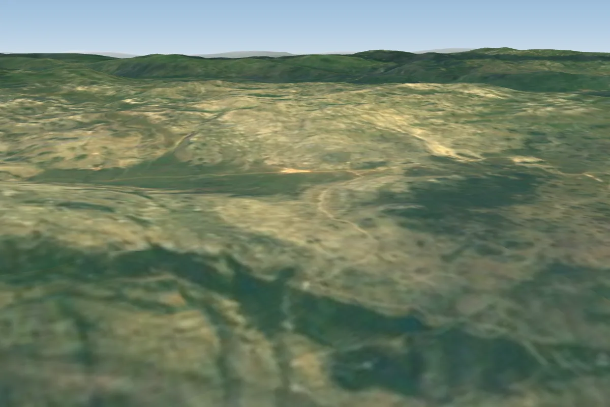 Greda (Split)40 km E · Faces S–SW
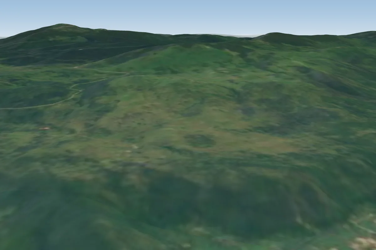 Kruškovac54 km NPossible XC from here on a SW day, 54 km downwind
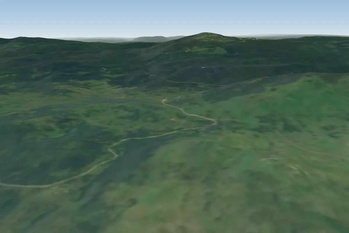 Velika Strazbenica56 km NPossible XC from here on a SW day, 56 km downwind
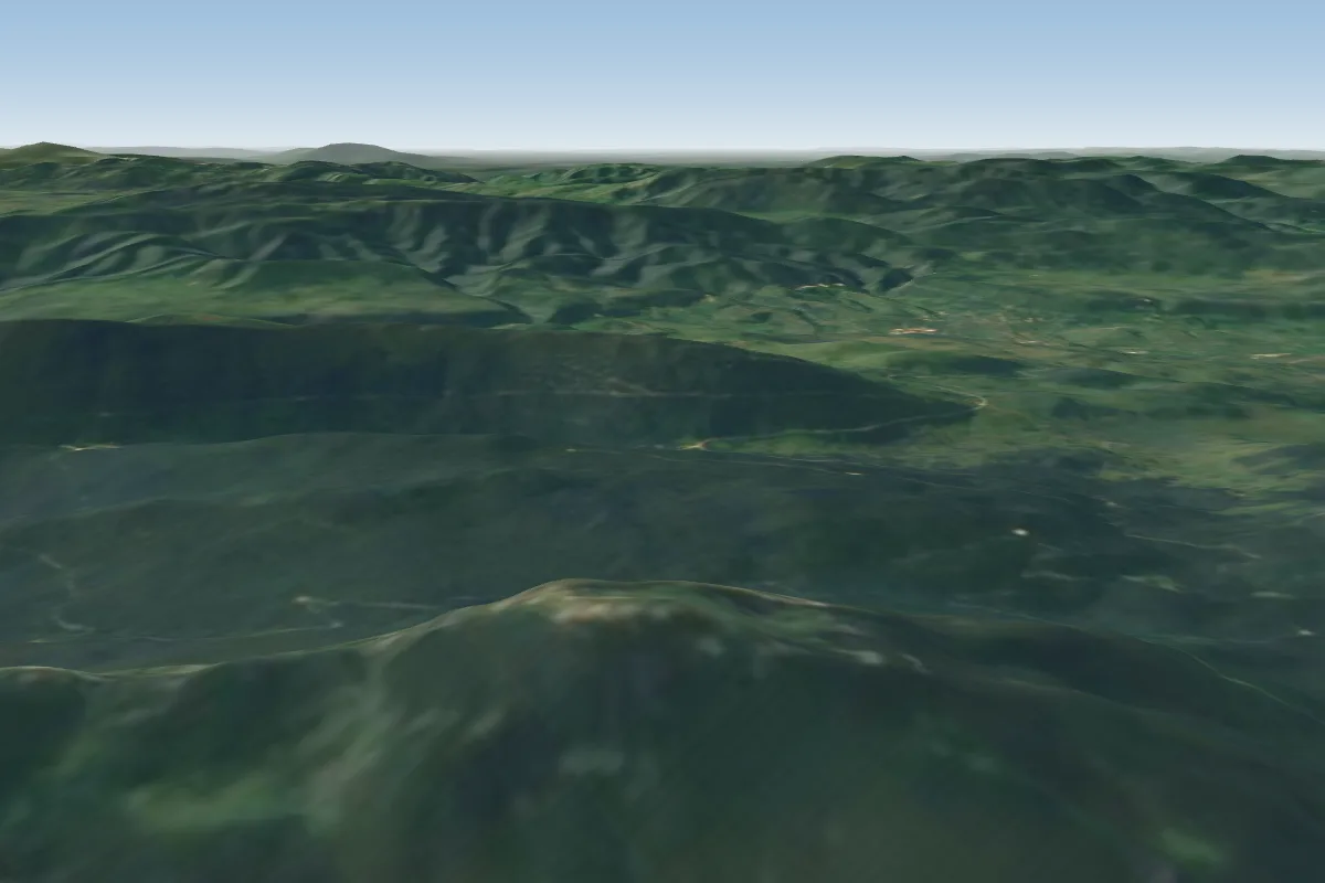 Velika Klekovača62 km NEPossible XC from here on a SW day, 62 km downwind
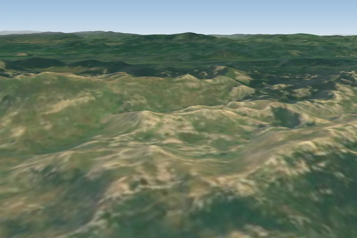 Libinje62 km NW · Faces SW
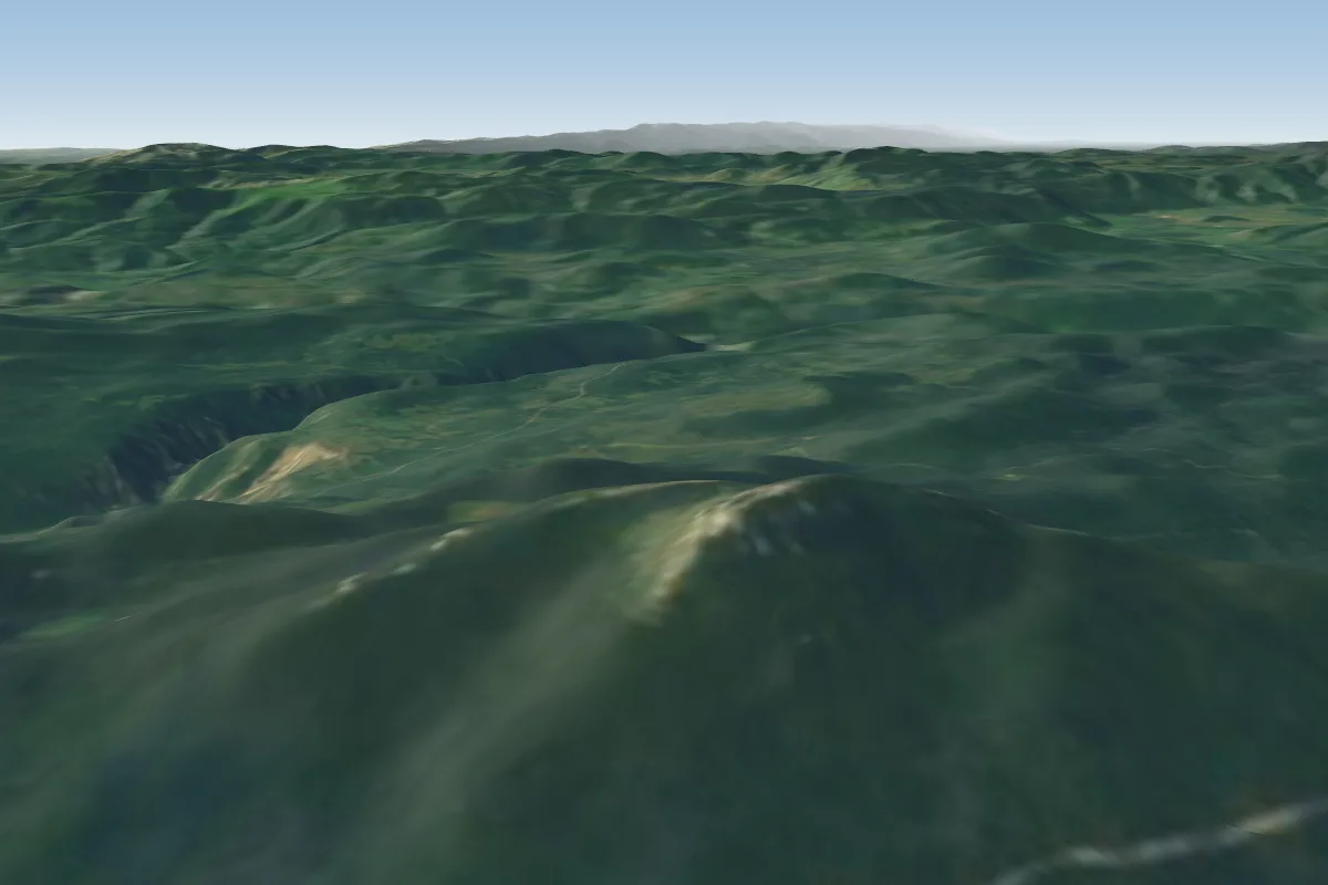 Velika Osječenica66 km N
Pilot notes
No notes yet. Flown Promina? Tell the next pilot what to expect.
Pilot notes on Promina
Flying Promina?
Takeoff, landing, rules, the hour by hour forecast and live wind are in the site details on the map.
Open site detailsSources
- ParaglidingEarth site record © ParaglidingEarth contributors (CC BY-SA)