Colonei
E to SE facing thermal site · 1,357 m takeoff · 1,076 m height gain
Overview
Colonei is a flatland site in the Italian Alps with a recorded launch elevation of 1,357 m. It works best in easterly and south-easterly winds, and can also work in north-easterly winds. Pilots fly it for thermal, using foot launch. It is recorded as suitable for cross-country flights.
- Strong west winds can be dangerous and prevent flying; if only light: possibly good flying conditions. Source: ParaglidingEarth
When to go
Flyable days per month in a typical year.
Flyable days for Colonei are on the way. We are scoring ten years of weather for every site, month by month, against this site, its region and the sites around it.
Local weather notes
- https://holfuy.com/it/weather/718 Source: ParaglidingEarth
Getting there
Nearest airports
- VRN Verona Villafranca Valerio Catullo Airport29 km
- VBS Brescia Gabriele d'Annunzio Airport45 km
- BGY Il Caravaggio International Airport86 km
Where to stay
The nearest towns, for a bed, food and a lift to takeoff.
- Sant'Ambrogio di Valpolicella15 km awayBooking.comAirbnb
- San Pietro in Cariano16 km awayBooking.comAirbnb
- Maderno16 km awayBooking.comAirbnb
Things to do
For the days the wind is wrong: places worth a visit within 10 km of Colonei.
 Orto Botanico del Monte BaldoCulture · 4.3 km awayBotanical garden in Italy
 Garda MountainsOutdoors · 8.3 km awayNorthern Italian mountain range
 Monte PastelloOutdoors · 8.4 km awayMountain in Italy
 Monte BaldoOutdoors · 8.6 km awayMountain in Italy; in Germany named Bubeskopf
 Cima ValdrittaOutdoors · 8.6 km awayMountain in Italy
 Cima delle PozzetteOutdoors · 9.6 km awayMountain in Italy
- Monte LoffaOutdoors · 9.6 km awayMountain in Italy
Flying nearby
See them on the map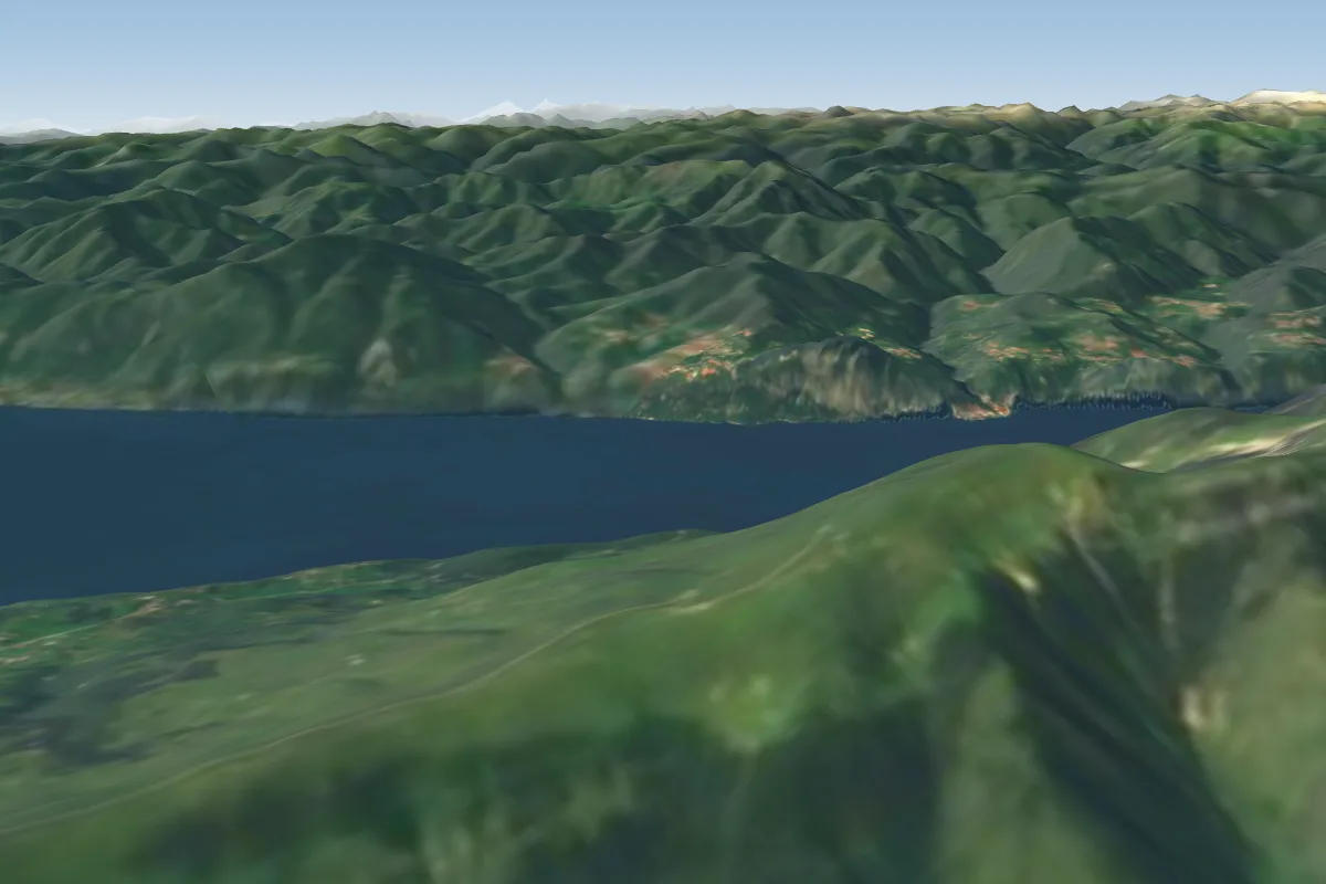 Fiori del Baldo3 km N · Faces SE–SWWorks in other winds
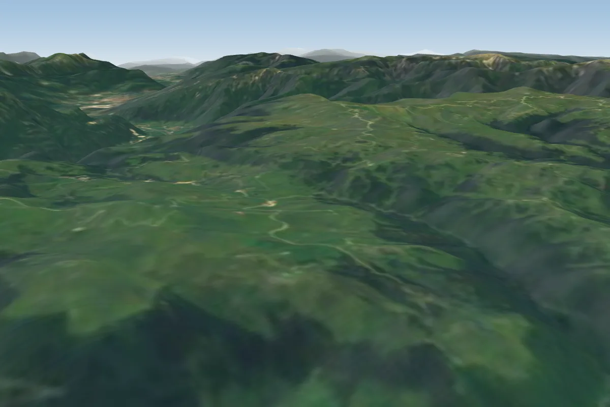 Fosse12 km E · Faces S–SWWorks in other winds
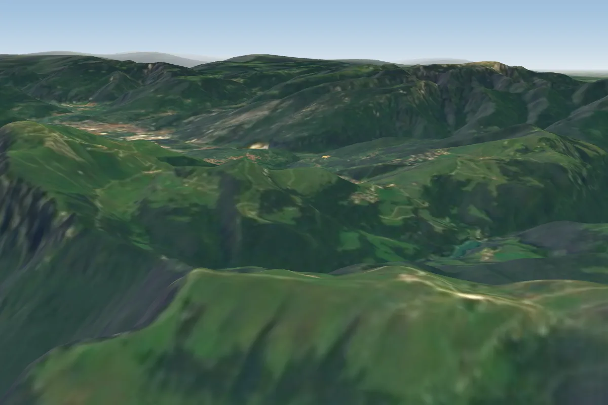 Monte Baldo (Malcesine)14 km N · Faces NE, SWWorks in other winds
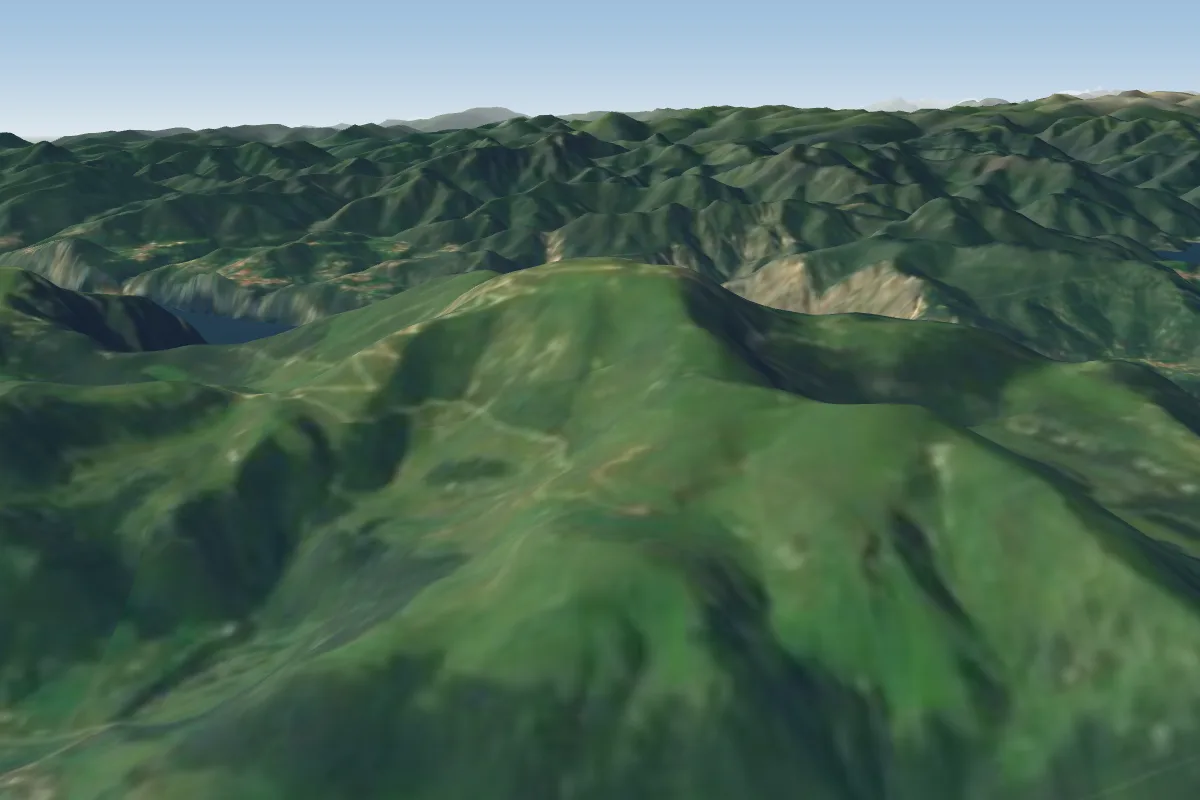 Monte Campo19 km NE
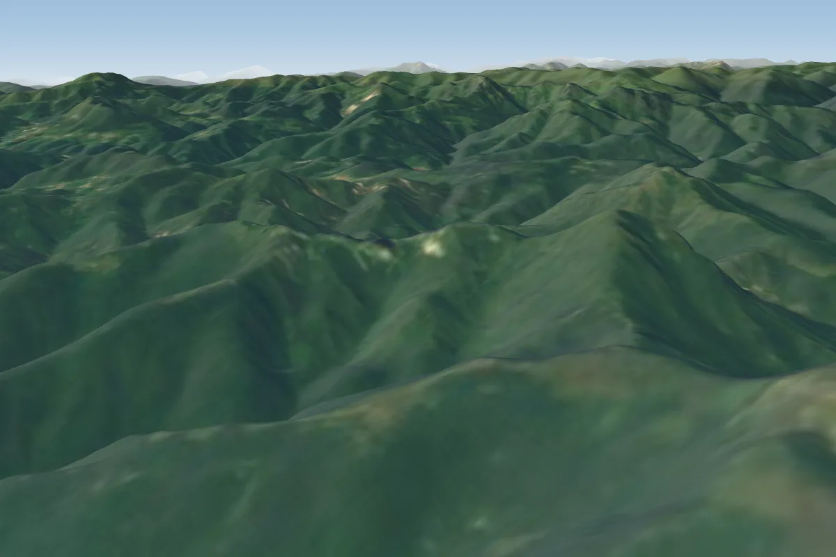 Monte Pizzocolo20 km W · Faces E, SE, SW, WWorks in other winds
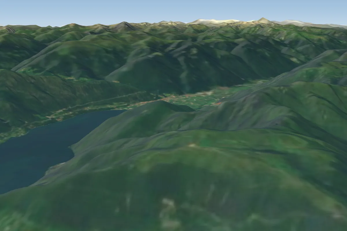 Monte Stino24 km NWPossible XC from here on a SE day, 24 km downwind
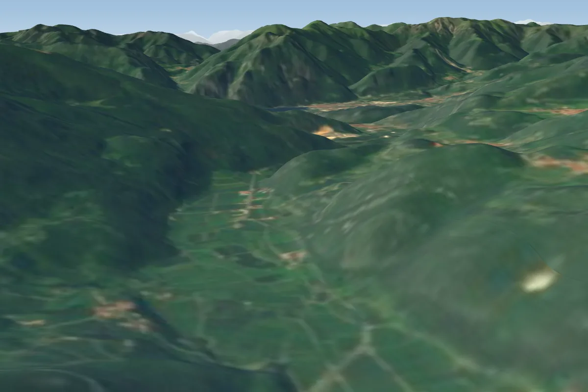 Sano25 km NE
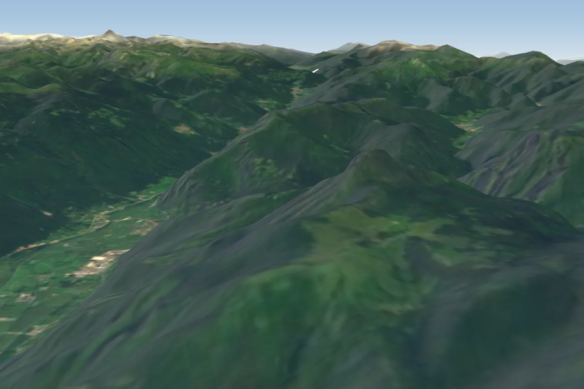 Alpe di Storo (Idro Lake)26 km NW · Faces S–SWWorks in other winds
More paragliding sites near Colonei
- Dromae and cima d oro 27 km away
Pilot notes
No notes yet. Flown Colonei? Tell the next pilot what to expect.
Pilot notes on Colonei
Flying Colonei?
Takeoff, landing, rules, the hour by hour forecast and live wind are in the site details on the map.
Open site detailsSources
- ParaglidingEarth site record © ParaglidingEarth contributors (CC BY-SA)