forcella
South-west-facing site · 1,099 m takeoff · 532 m height gain
Overview
forcella is a flying site in the Italian Alps with a recorded launch elevation of 1,099 m. It is recorded as workable in south-westerly winds.
- imported from http://xc.dhv.de Source: ParaglidingEarth
When to go
Flyable days per month in a typical year.
Flyable days for forcella are on the way. We are scoring ten years of weather for every site, month by month, against this site, its region and the sites around it.
Getting there
Nearest airports
- BGY Il Caravaggio International Airport35 km
- VBS Brescia Gabriele d'Annunzio Airport36 km
- VRN Verona Villafranca Valerio Catullo Airport68 km
Where to stay
The nearest towns, for a bed, food and a lift to takeoff.
- Gardone Val Trompia5 km awayBooking.comAirbnb
- Sarezzo8 km awayBooking.comAirbnb
- Iseo10 km awayBooking.comAirbnb
Things to do
For the days the wind is wrong: places worth a visit within 10 km of forcella.
 Monte GuglielmoOutdoors · 3.9 km awayMountain in Italy
 Lake IseoOutdoors · 4.9 km awayLake in Lombardy, Italy
 The Floating PiersOutdoors · 4.9 km awayArtwork by Christo and Jeanne-Claude on Lake Iseo, Italy
 Madonna della CeriolaCulture · 5 km awayChurch in Monte Isola, Italy
 Corna TrentapassiOutdoors · 6.7 km awayMountain in Italy
 San Paolo (isle)Outdoors · 6.8 km awayPrivate island in Northern Italy
 Santa Maria della Neve, PisogneCulture · 9.6 km awayRoman Catholic church in Pisogne, Italy
- Val TrompiaOutdoors · 4.7 km awayValley in lombardy, Italy
Flying nearby
See them on the map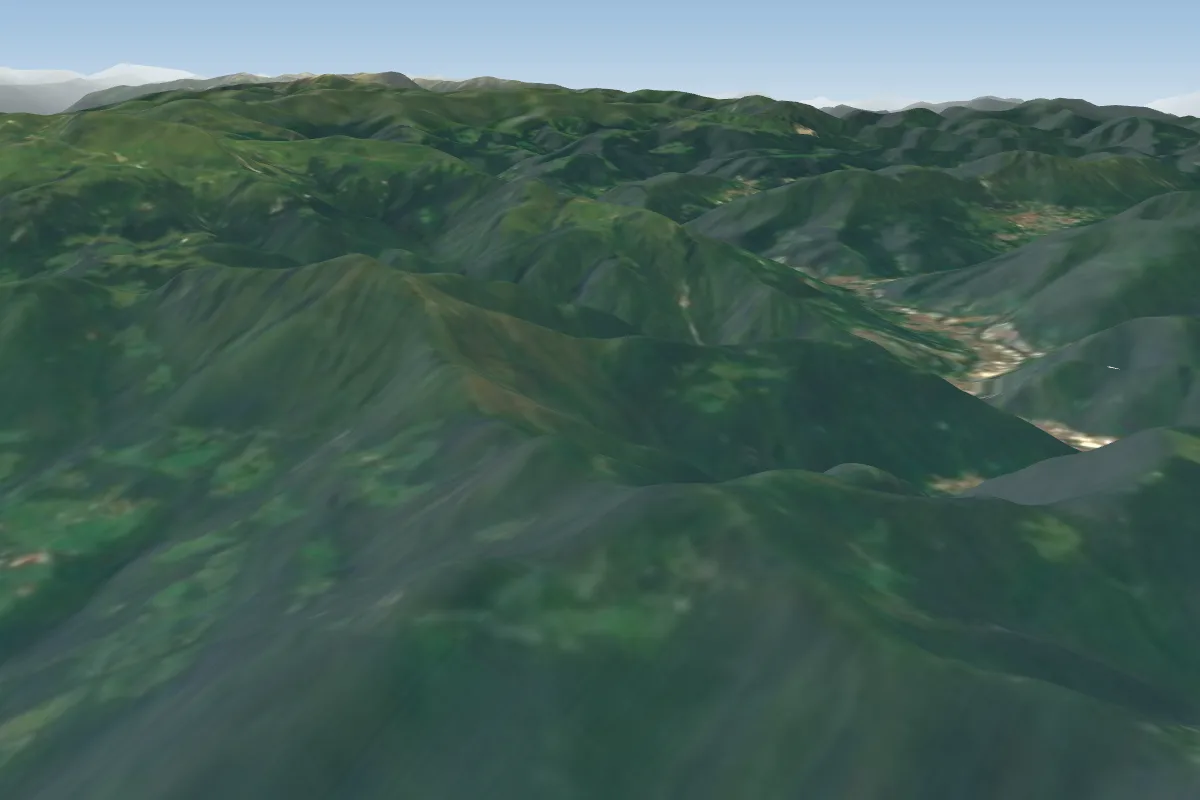 GOLE4 km S
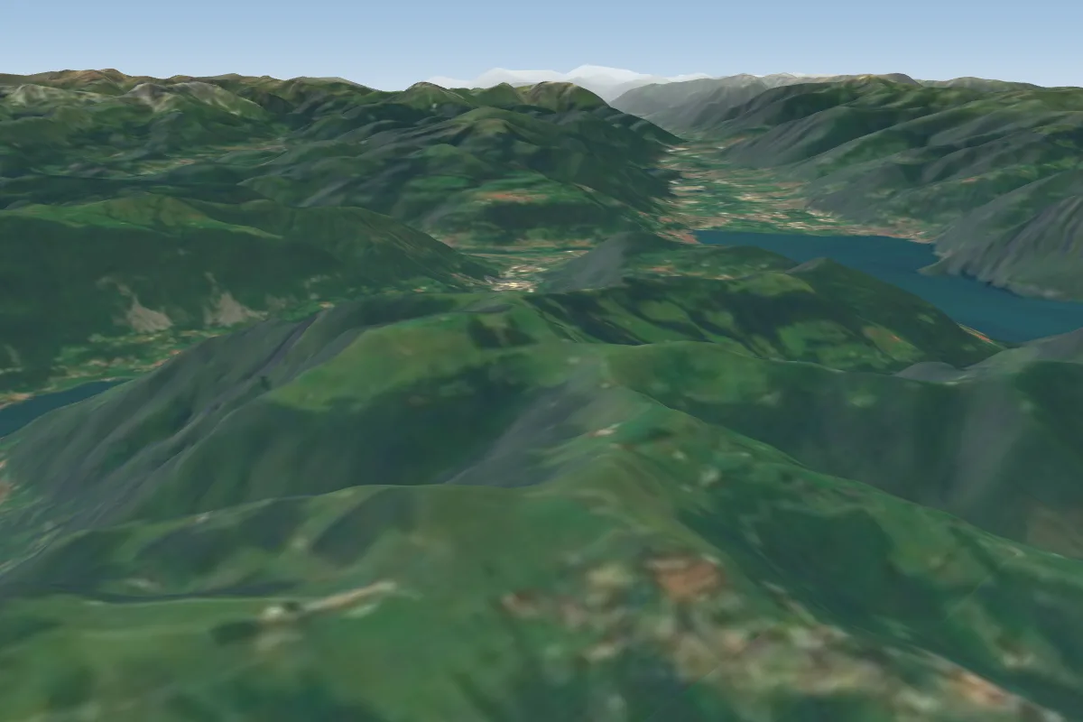 Colli di San Fermo (Casazza)15 km W · Faces SW
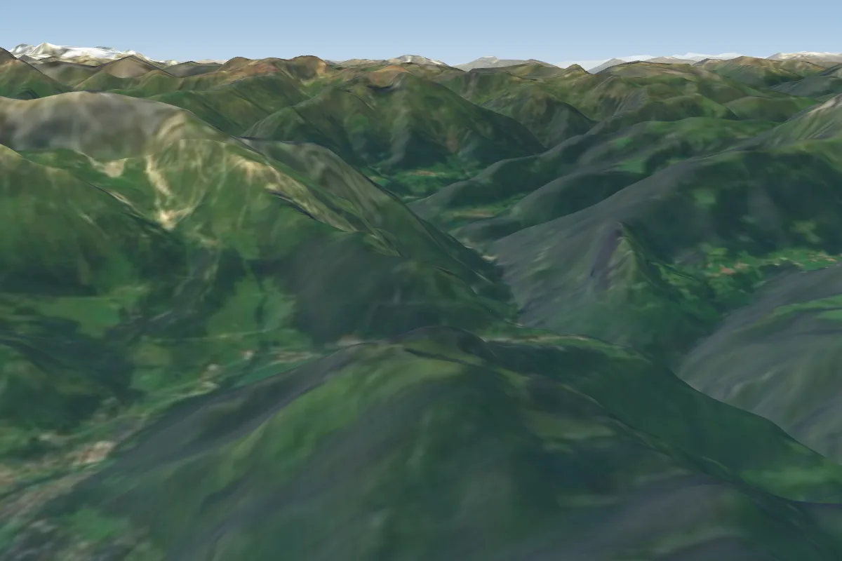 Mount ScanapÃ22 km N
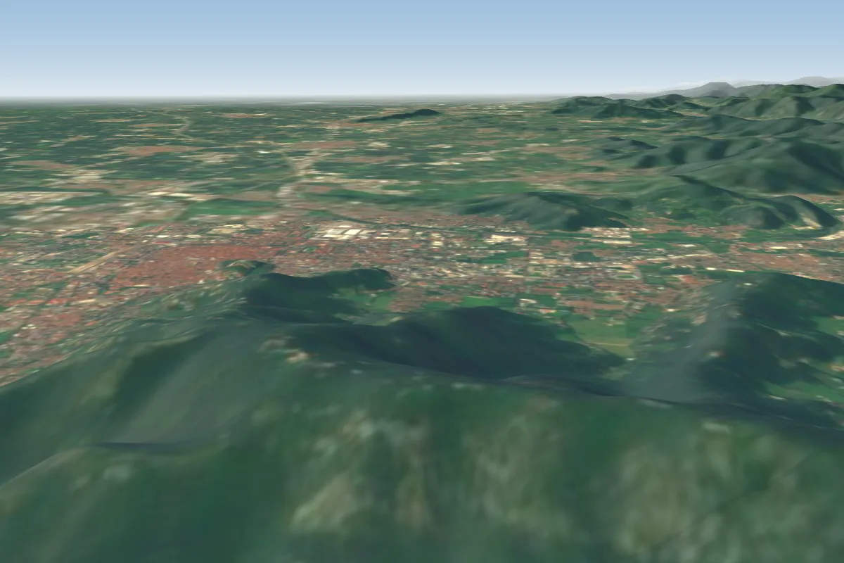 Decollo Est Brescia22 km SE
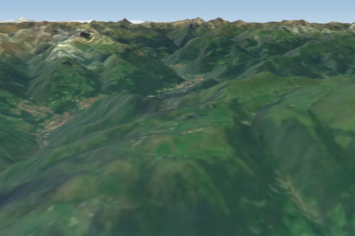 Monte Farno22 km NW · Faces SE–SWWorks in other winds
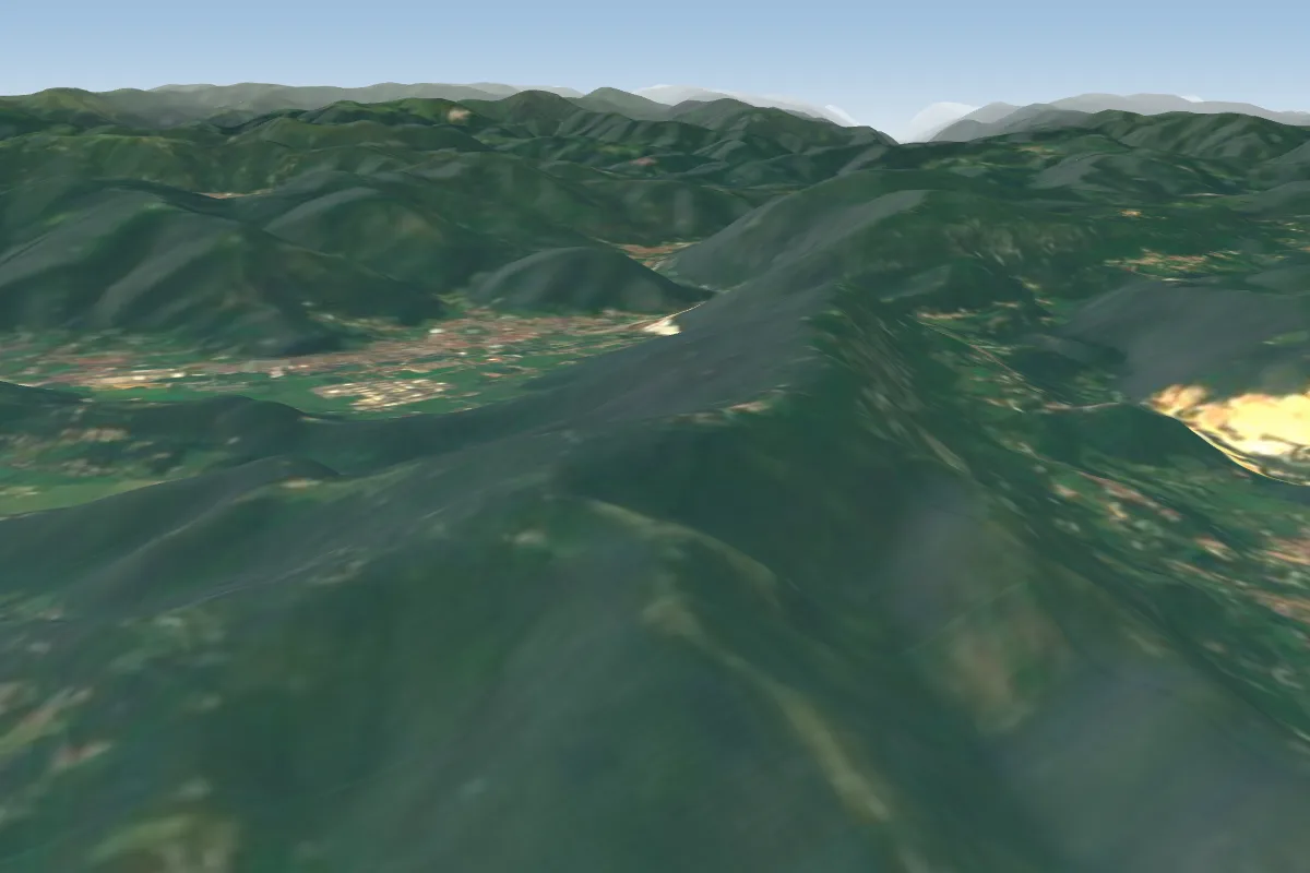 Takeoff ovest Brescia23 km SE · Faces SWorks in other winds
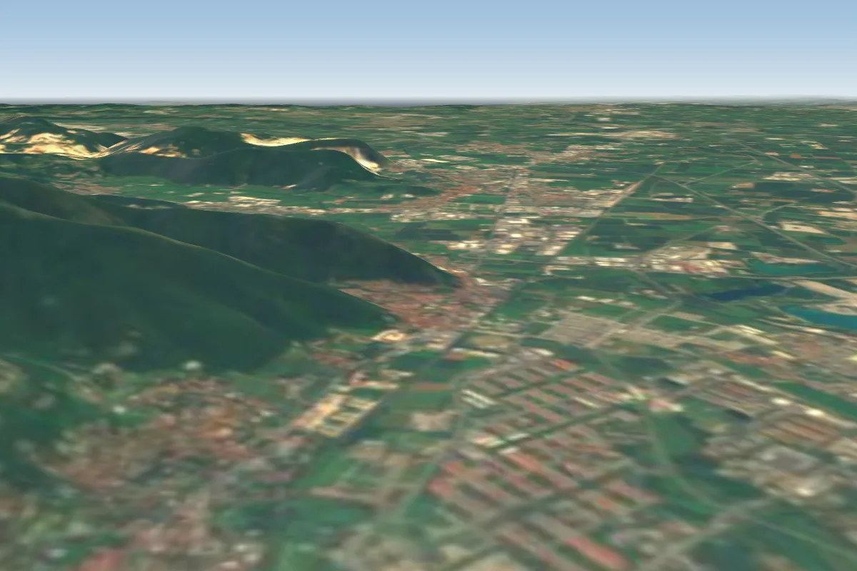 Landing Volo Libero Brescia24 km S
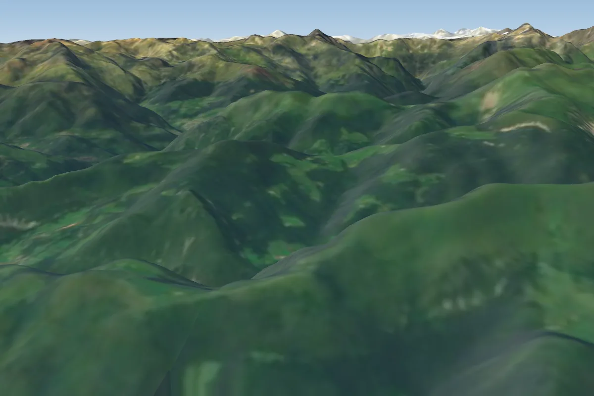 Monte Blum - Clusone24 km NW · Faces SWorks in other winds
Pilot notes
No notes yet. Flown forcella? Tell the next pilot what to expect.
Pilot notes on forcella
Flying forcella?
Takeoff, landing, rules, the hour by hour forecast and live wind are in the site details on the map.
Open site detailsSources
- ParaglidingEarth site record © ParaglidingEarth contributors (CC BY-SA)