MEZZOLDO - Passo S.Marco
SE to SW facing ridge site · 1,992 m takeoff · 398 m height gain
Overview
MEZZOLDO - Passo S.Marco is a mountain site in the Italian Alps with a recorded launch elevation of 1,992 m. It works best in south-easterly, southerly and south-westerly winds. Pilots fly it for ridge soaring and thermal, using foot launch. It is recorded as suitable for cross-country flights.
- The take-off is located on the western slope near the pass. It can be reached in two minutes on foot, parking the car near the pass; or by taking the ancient Priula road, in about 20 minutes, starting from the Ca' S. Marco Refuge. Source: ParaglidingEarth
When to go
Flyable days per month in a typical year.
Flyable days for MEZZOLDO - Passo S.Marco are on the way. We are scoring ten years of weather for every site, month by month, against this site, its region and the sites around it.
Local weather notes
- DO NOT FLY with north wind direction Source: ParaglidingEarth
Getting there
Nearest airports
- BGY Il Caravaggio International Airport43 km
- LUG Lugano Airport55 km
- LIN Milano Linate Airport72 km
Where to stay
The nearest towns, for a bed, food and a lift to takeoff.
- Morbegno10 km awayBooking.comAirbnb
- Colico22 km awayBooking.comAirbnb
- Ballabio23 km awayBooking.comAirbnb
Things to do
For the days the wind is wrong: places worth a visit within 10 km of MEZZOLDO - Passo S.Marco.
 San Marco PassOutdoors · 0.2 km awayMountain pass in Italy
 Monte PonteranicaOutdoors · 2.8 km awayMountain in Italy
 Monte VallettoOutdoors · 3.6 km awayMountain in Lombardy, Italy
 Monte TriomenOutdoors · 3.7 km awayMountain in Italy
 Monte AvaroOutdoors · 4.2 km awayMountain in Italy
 Pizzo Rotondo (Orobie)Outdoors · 5.1 km awayMountain in Italy
 Monte Cavallo (Orobie)Outdoors · 5.6 km awayMountain in Italy
 Monte PegheroloOutdoors · 7.5 km awayMountain in Italy
Flying nearby
See them on the map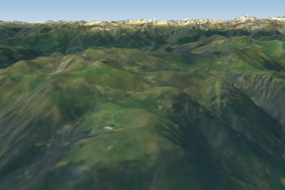 Cusio - Monte Avaro5 km S · Faces S
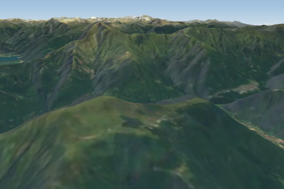 Alpe Giumello20 km W · Faces E–WWorks in other winds
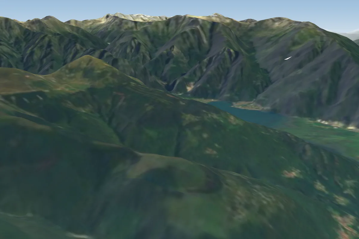 Monte Mezzo (Lago di Como)25 km NW · Faces SE–SW
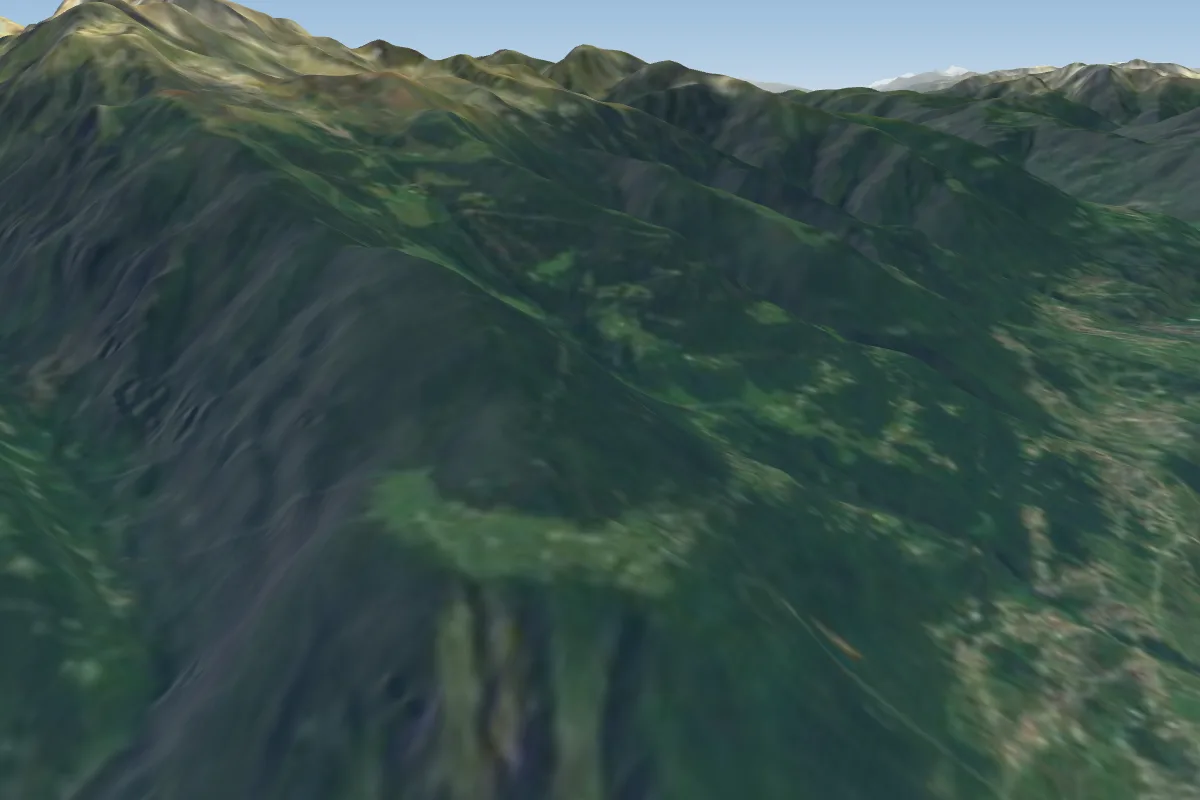 Carnale26 km NEPossible XC from here on a SW day, 26 km downwind
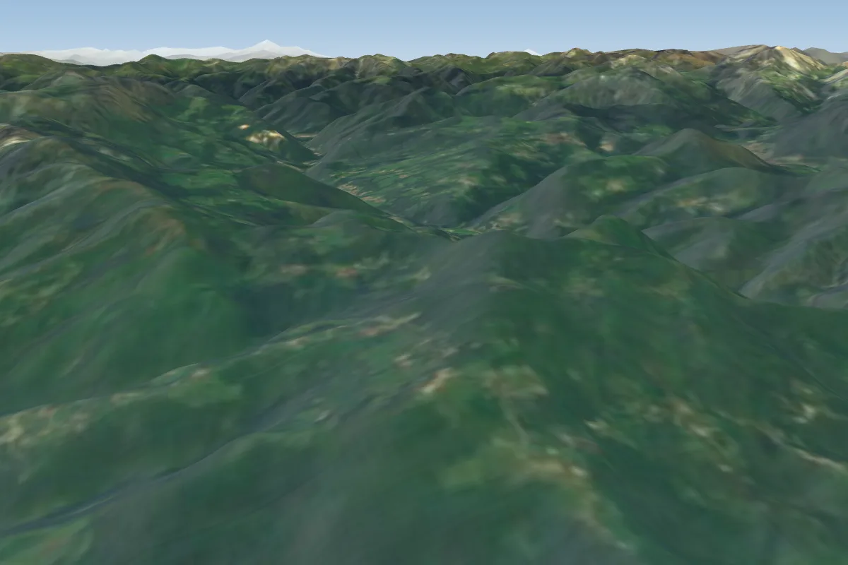 San'Antonio Abbandonato27 km S
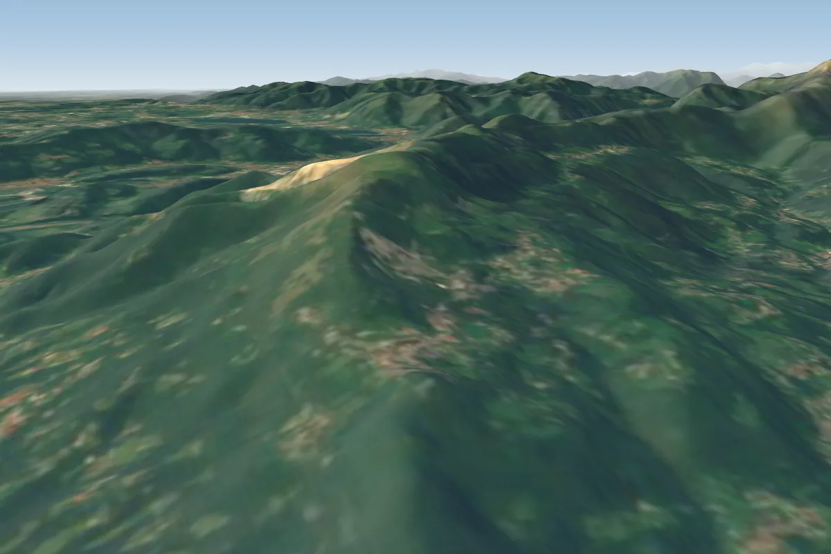 Roncola31 km S · Faces SE–SW
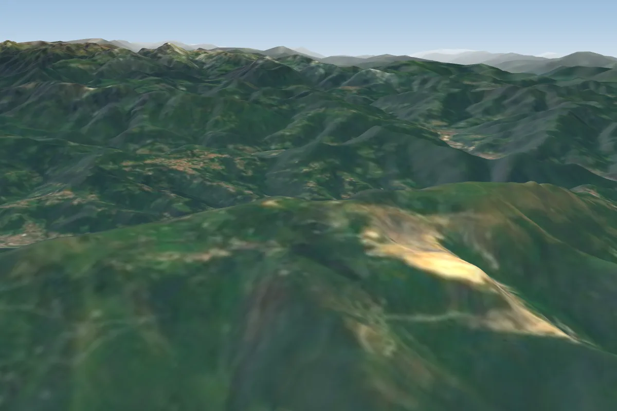 Valcava31 km S · Faces SE–SW
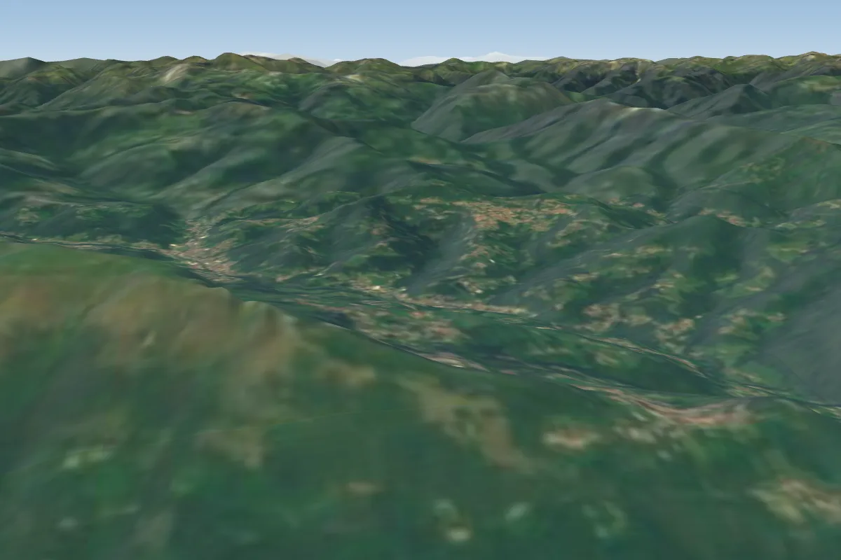 Pratino (Foppa Martinu)32 km S
Pilot notes
No notes yet. Flown MEZZOLDO - Passo S.Marco? Tell the next pilot what to expect.
Pilot notes on MEZZOLDO - Passo S.Marco
Flying MEZZOLDO - Passo S.Marco?
Takeoff, landing, rules, the hour by hour forecast and live wind are in the site details on the map.
Open site detailsSources
- ParaglidingEarth site record © ParaglidingEarth contributors (CC BY-SA)