Monte Erio
Site · 1,607 m takeoff · 626 m height gain
Overview
Monte Erio is a flying site in the Italian Alps with a recorded launch elevation of 1,607 m. No launch directions are recorded yet.
When to go
Flyable days per month in a typical year.
Flyable days for Monte Erio are on the way. We are scoring ten years of weather for every site, month by month, against this site, its region and the sites around it.
Getting there
Nearest airports
- BZO Bolzano Airport64 km
- TSF Treviso Airport66 km
- VRN Verona Villafranca Valerio Catullo Airport68 km
Where to stay
The nearest towns, for a bed, food and a lift to takeoff.
- Levico Terme16 km awayBooking.comAirbnb
- Borgo Valsugana19 km awayBooking.comAirbnb
- Schio20 km awayBooking.comAirbnb
Things to do
For the days the wind is wrong: places worth a visit within 10 km of Monte Erio.
 Monte VerenaOutdoors · 4.9 km awayMountain in Italy
 Spitz di TonezzaOutdoors · 7.6 km awayMountain in Italy
 Monte ZebioOutdoors · 8.3 km awayMountain in Italy
 Monte CengioOutdoors · 8.6 km awayMountain in Italy
 Cima PortuleOutdoors · 9 km awayMountain in Italy
- Monte Cimone di TonezzaOutdoors · 9 km awayMountain in Italy
Flying nearby
See them on the map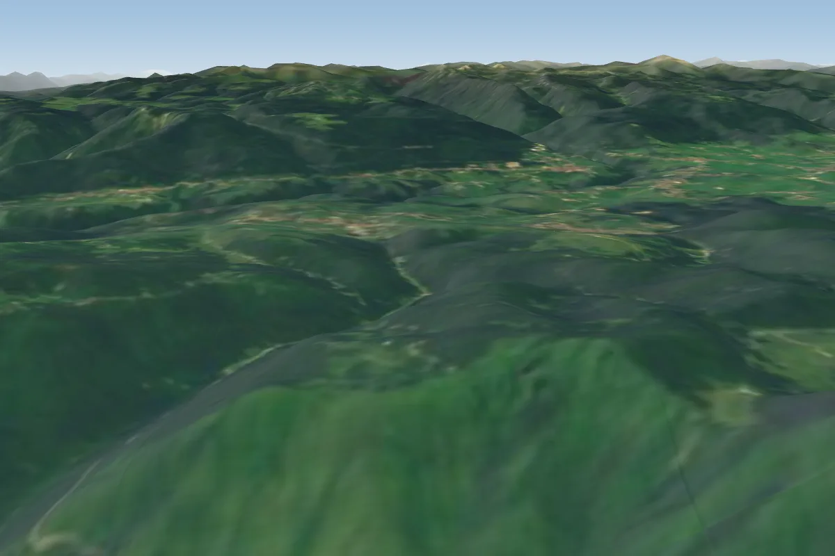 Ceresana, Cogollo del Cengio9 km S · Faces SE–SWWorks in other winds
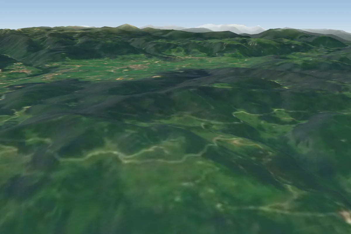 Foraoro12 km SE · Faces SE–SWWorks in other winds
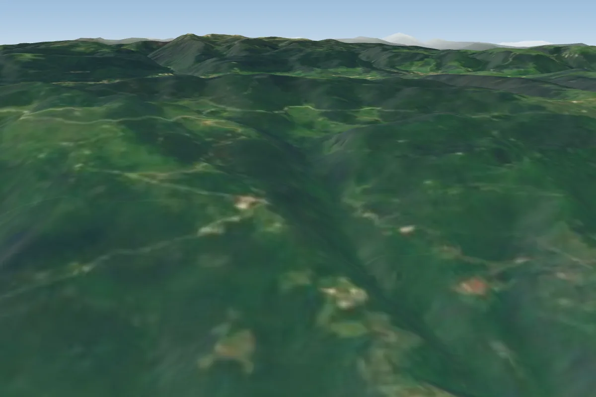 Campanara14 km SE · Faces SE–SWWorks in other winds
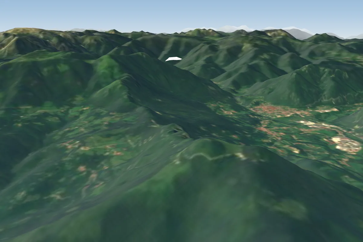 Mte Summano15 km S · Faces SE–SWWorks in other winds
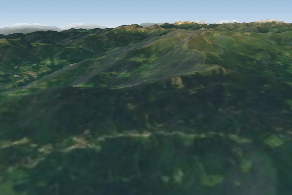 Vetriolo / Levico Terme19 km NW
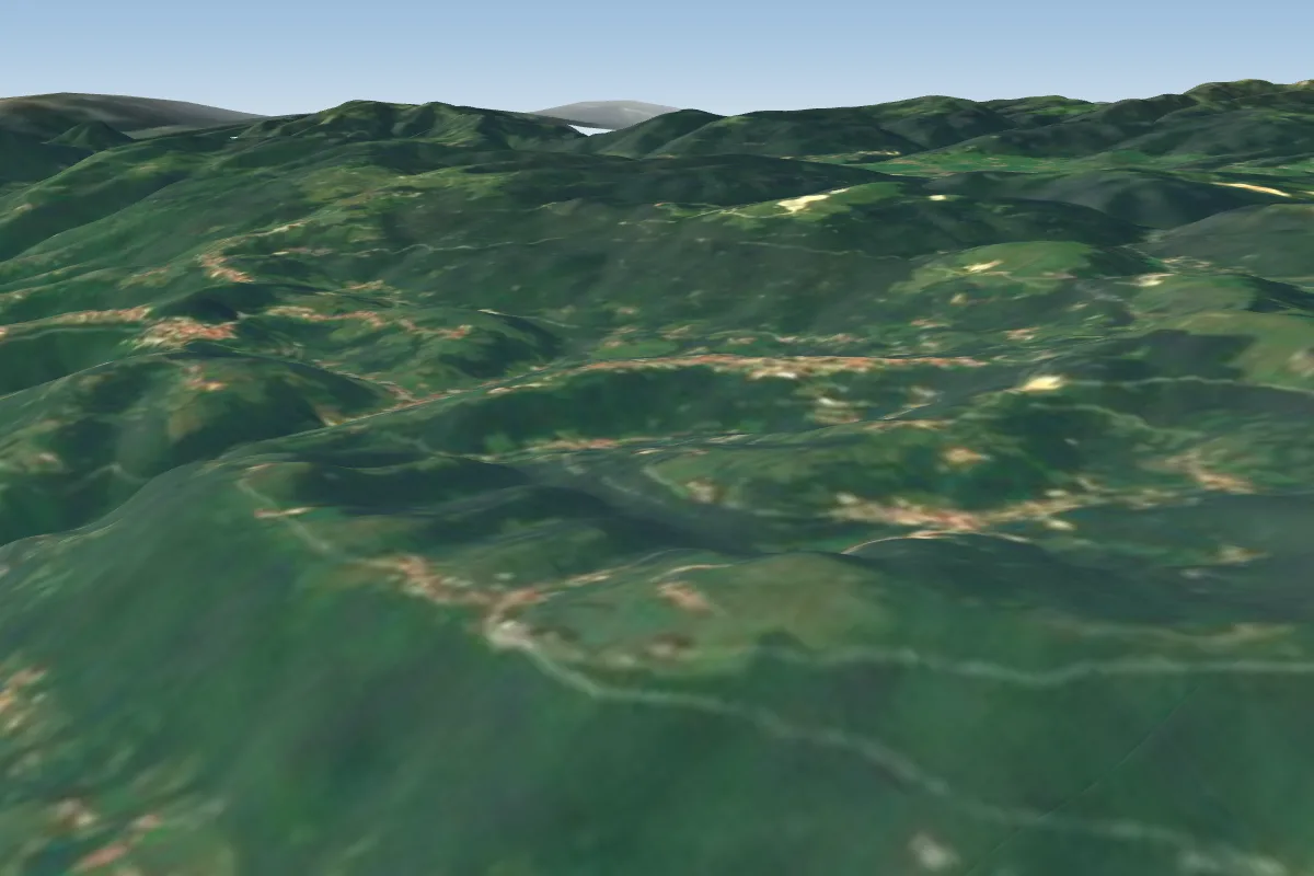 Bielli20 km SE
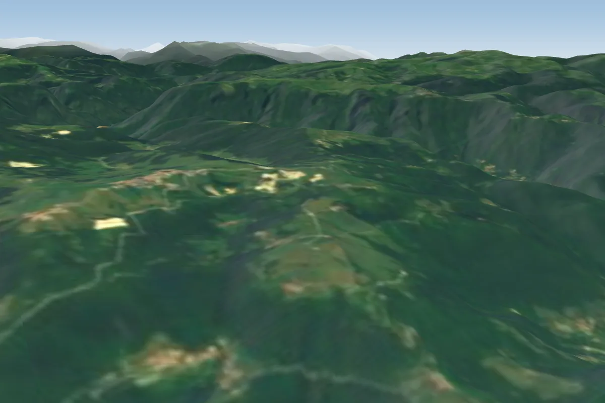 Rubbio22 km SE
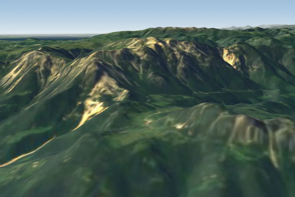 Campogrosso (Recoaro- Padova)25 km SW · Faces E–SWWorks in other winds
Pilot notes
No notes yet. Flown Monte Erio? Tell the next pilot what to expect.
Pilot notes on Monte Erio
Flying Monte Erio?
Takeoff, landing, rules, the hour by hour forecast and live wind are in the site details on the map.
Open site detailsSources
- ParaglidingEarth site record © ParaglidingEarth contributors (CC BY-SA)