Palamonda - Colverde - San Martino di Castrozza
S to W facing thermal site · 2,199 m takeoff · 731 m height gain
Overview
Palamonda - Colverde - San Martino di Castrozza is a mountain site in the Italian Alps with a recorded launch elevation of 2,199 m. It works best in southerly, south-westerly and westerly winds. Pilots fly it for thermal, using foot launch. It is recorded as suitable for cross-country flights.
When to go
Flyable days per month in a typical year.
Flyable days for Palamonda - Colverde - San Martino di Castrozza are on the way. We are scoring ten years of weather for every site, month by month, against this site, its region and the sites around it.
Local weather notes
- Weather Info: http://www.meteotrentino.it http://www.arpav.veneto.it Source: ParaglidingEarth
Getting there
Nearest airports
- BZO Bolzano Airport43 km
- TSF Treviso Airport76 km
- VCE Venice Marco Polo Airport95 km
Where to stay
The nearest towns, for a bed, food and a lift to takeoff.
- Agordo17 km awayBooking.comAirbnb
- Sedico29 km awayBooking.comAirbnb
- Feltre30 km awayBooking.comAirbnb
Things to do
For the days the wind is wrong: places worth a visit within 10 km of Palamonda - Colverde - San Martino di Castrozza.
 Cimon della PalaOutdoors · 1 km awayMountain in Italy
 VezzanaOutdoors · 1.7 km awayMountain in Italy
 Cima della RosettaOutdoors · 2.1 km awayMountain in Italy
 Campanile di Val StrutOutdoors · 2.3 km awaySummit in Italy
 Cima dei BureloniOutdoors · 2.5 km awayMountain in Italy
 Rolle PassOutdoors · 3 km awayHigh mountain pass in Trentino, Italy
 Monte CastellazOutdoors · 3.6 km awayMountain in Italy
 Cima del FocobonOutdoors · 3.7 km awayMountain in Italy
Flying nearby
See them on the map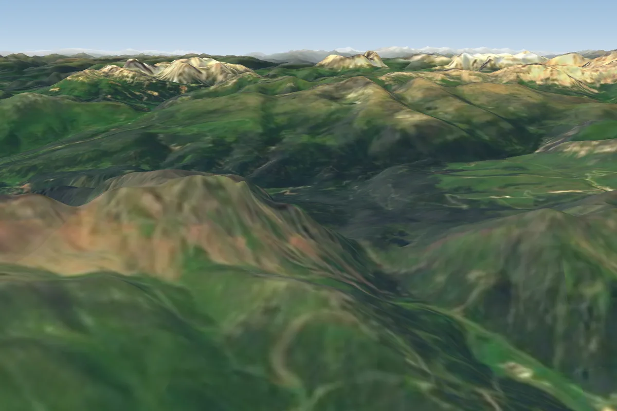 Punta Ces - San Martino di Castrozza4 km W · Faces SE–SWorks in other winds
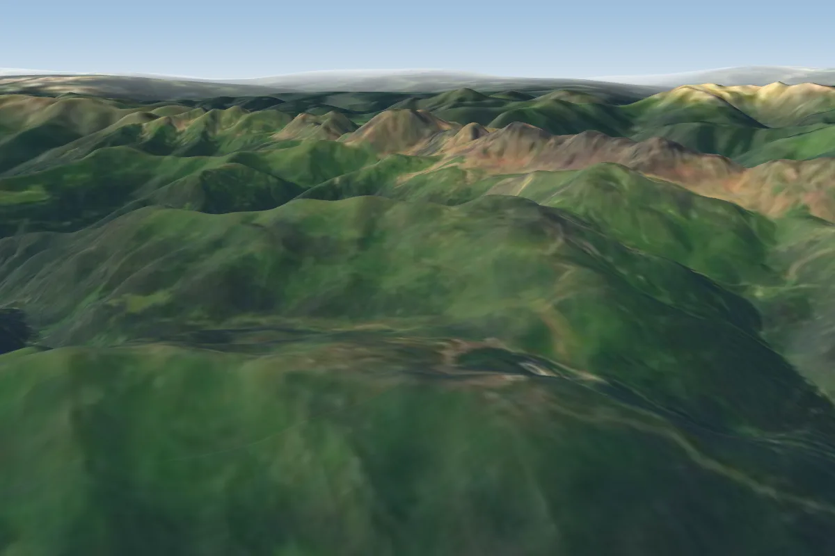 Tognola5 km SW · Faces E–SWorks in other winds
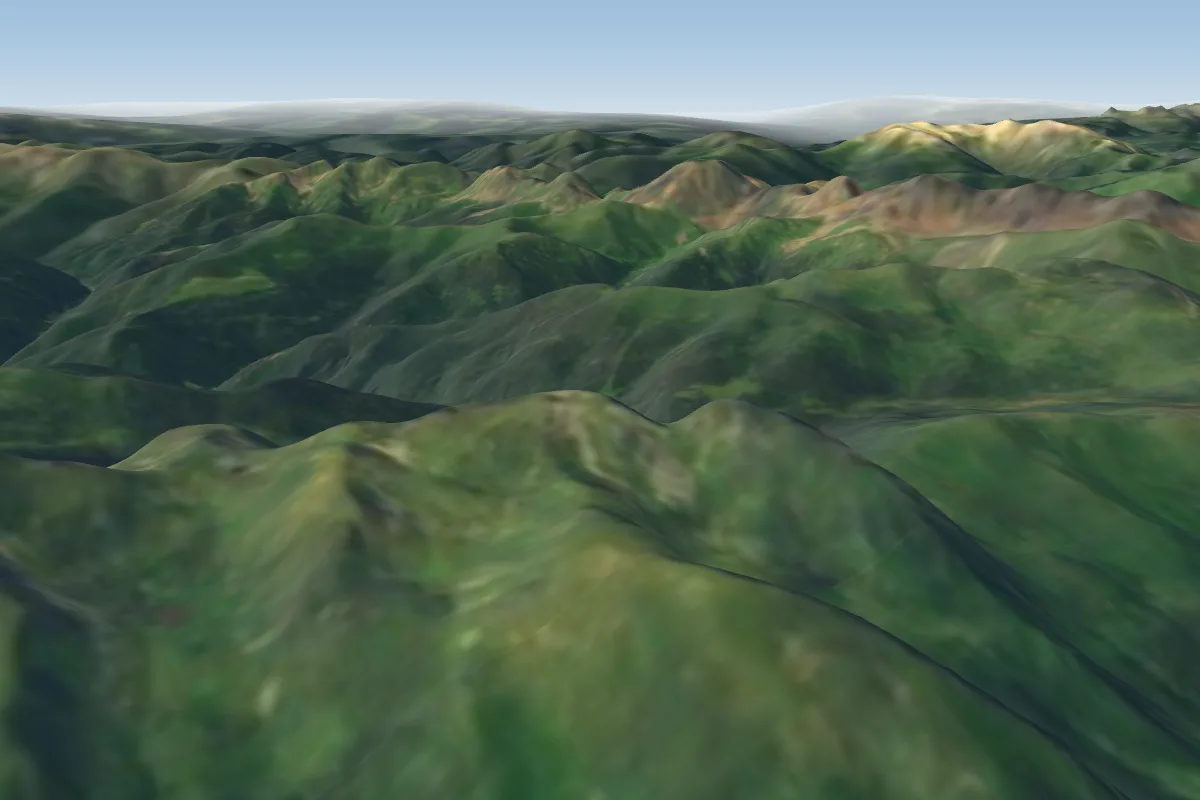 Cima Agnelezza - Lago Calaita8 km S · Faces SE–SWorks in other winds
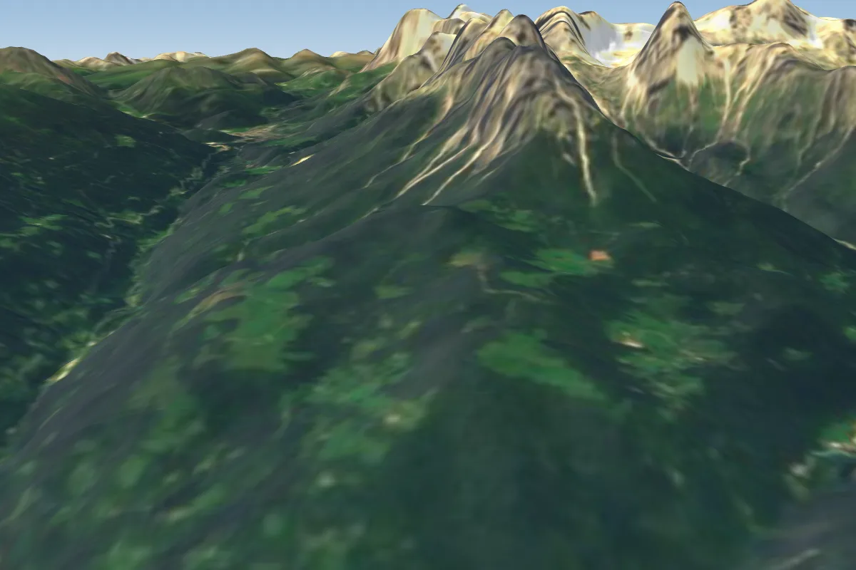 Maso Tais10 km S · Faces S
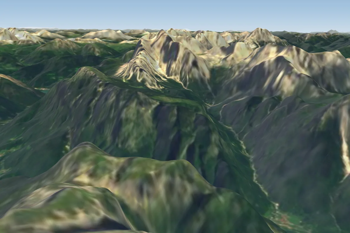 Bivacco Bedin13 km E
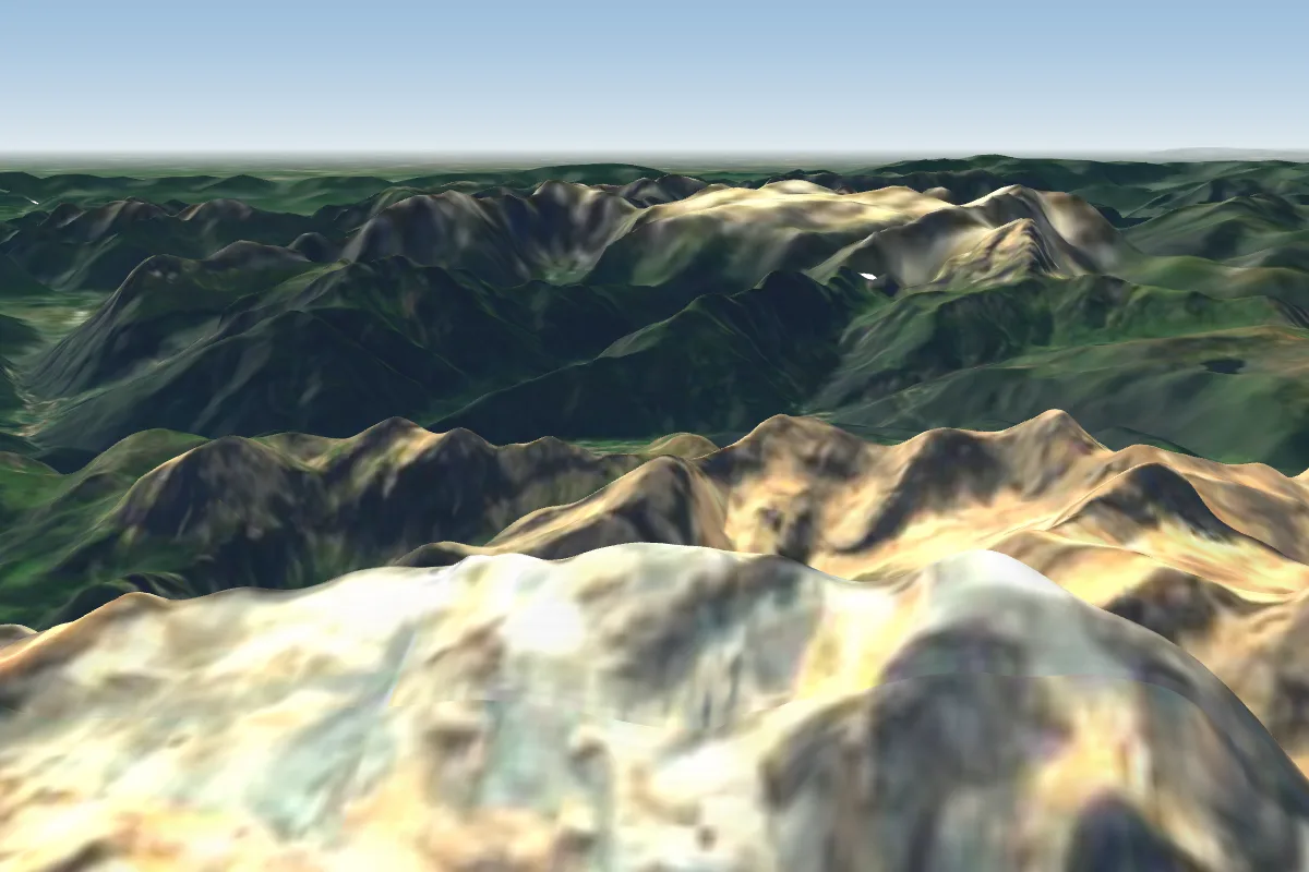 Marmolada18 km N · Faces NPossible XC from here on a S day, 18 km downwindWorks in other winds
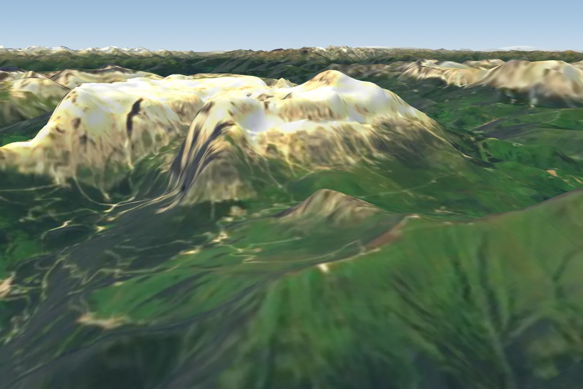 Campitello-Canazei-Belvedere22 km N · Faces SW–WPossible XC from here on a S day, 22 km downwind
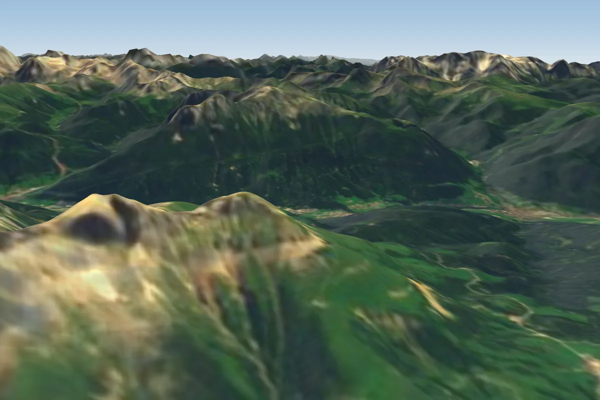 Rosengarten/ Catinaccio -Paolina (Karersee)22 km NW · Faces SW–W
Pilot notes
No notes yet. Flown Palamonda - Colverde - San Martino di Castrozza? Tell the next pilot what to expect.
Pilot notes on Palamonda - Colverde - San Martino di Castrozza
Flying Palamonda - Colverde - San Martino di Castrozza?
Takeoff, landing, rules, the hour by hour forecast and live wind are in the site details on the map.
Open site detailsSources
- ParaglidingEarth site record © ParaglidingEarth contributors (CC BY-SA)