Seceda
SE to W facing thermal site · 2,478 m takeoff · 1,155 m height gain
Overview
Seceda is a flatland site in the Italian Alps with a recorded launch elevation of 2,478 m. It works best in south-easterly, southerly, south-westerly and westerly winds. Pilots fly it for thermal, using foot launch. It is recorded as suitable for cross-country flights.
- initialy imported from International Leonardo Source: ParaglidingEarth
When to go
Flyable days per month in a typical year.
Flyable days for Seceda are on the way. We are scoring ten years of weather for every site, month by month, against this site, its region and the sites around it.
Getting there
Nearest airports
- BZO Bolzano Airport34 km
- INN Innsbruck Airport79 km
- TSF Treviso Airport112 km
Where to stay
The nearest towns, for a bed, food and a lift to takeoff.
- Klausen - Chiusa13 km awayBooking.comAirbnb
- Brixen - Bressanone14 km awayBooking.comAirbnb
- Bruneck - Brunico27 km awayBooking.comAirbnb
Things to do
For the days the wind is wrong: places worth a visit within 10 km of Seceda.
 Monte SecedaOutdoors · 0.1 km awayMountain in Italy
 Lech SantOutdoors · 1.5 km awayAlpine lake in South Tyrol, Italy
 Grande FermedaOutdoors · 2 km awayMountain in Italy
 Sas RigaisOutdoors · 3.3 km awayMountain in Italy
 FurchëtaOutdoors · 3.9 km awayMountain in Italy
 Val GardenaOutdoors · 4.7 km awayValley in the Dolomites, South Tyrol, Italy
 Col de la PieresOutdoors · 4.7 km awayMountain in Italy
 Museum GherdëinaCulture · 4.9 km awayMuseum in Urtijëi, Italy
Flying nearby
See them on the map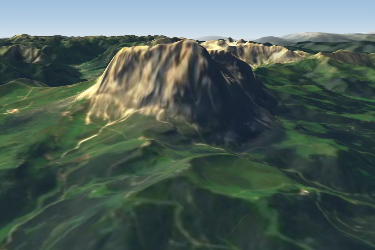 Ciampinoi7 km S
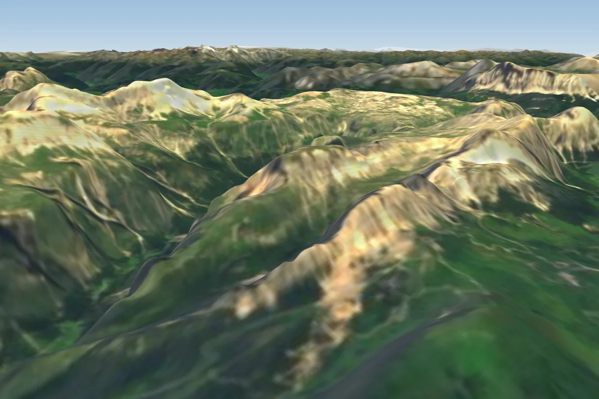 Dantercepies7 km SE
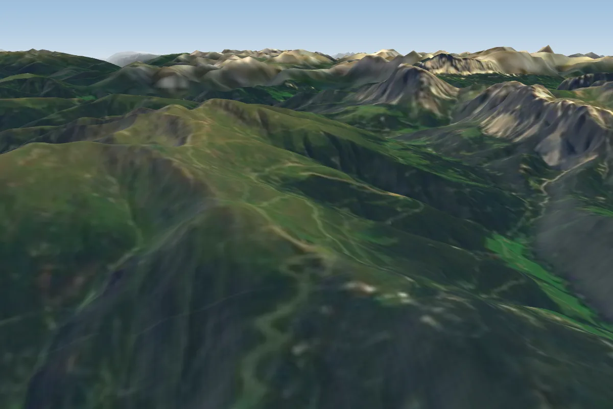 Plose10 km N · Faces SE–W
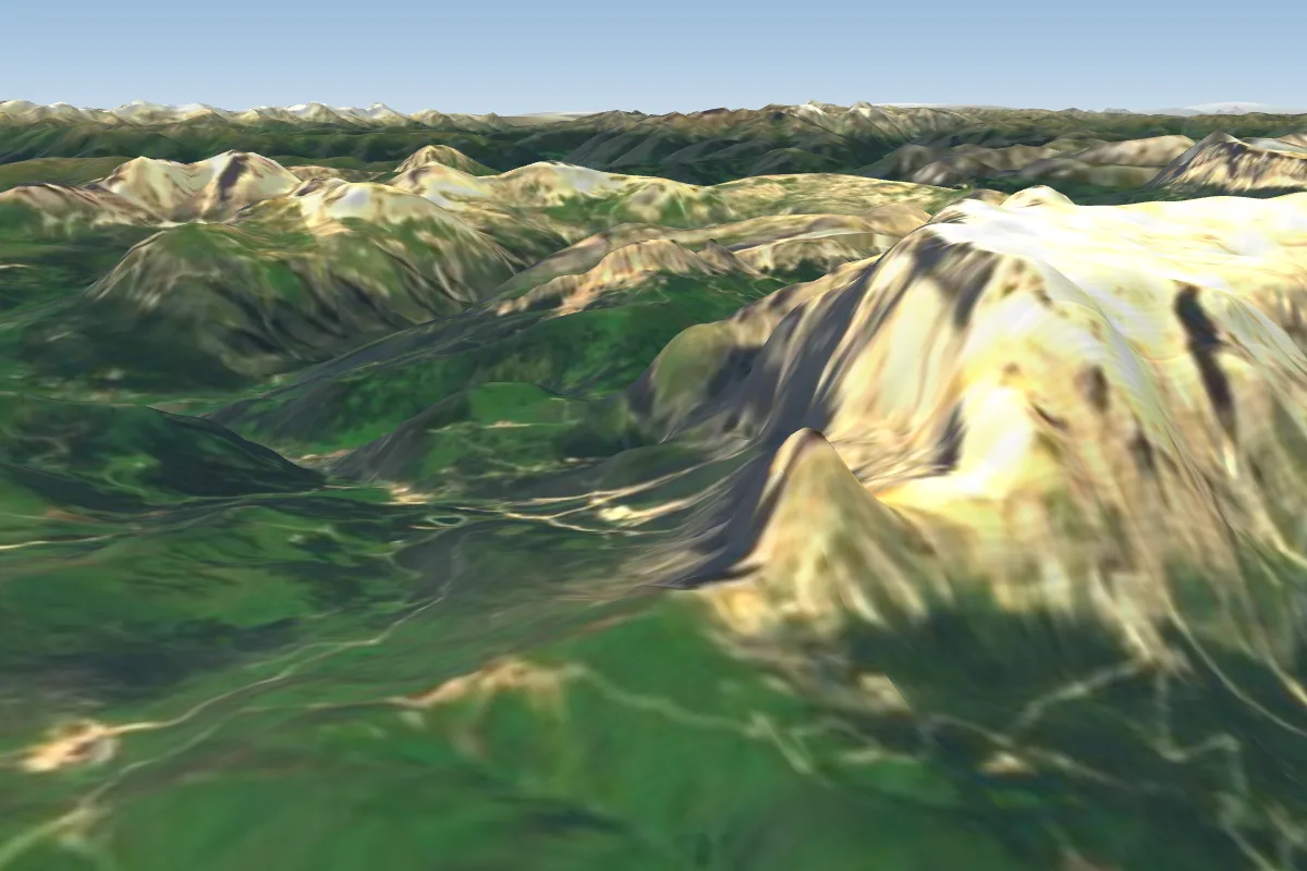 Campitello-Canazei-Locomotiva11 km S · Faces SE–S
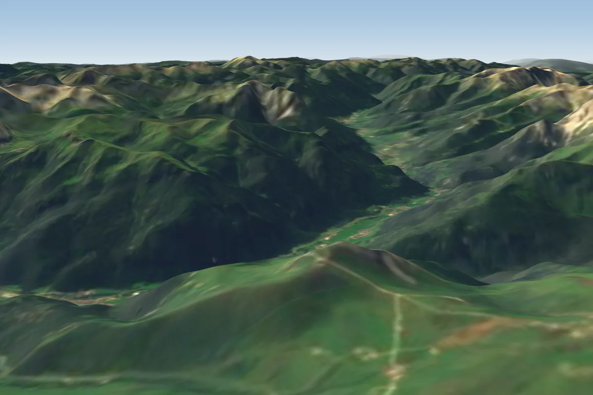 Campitello-Canazei-Col Rodella12 km S · Faces N, S, SWWorks in other winds
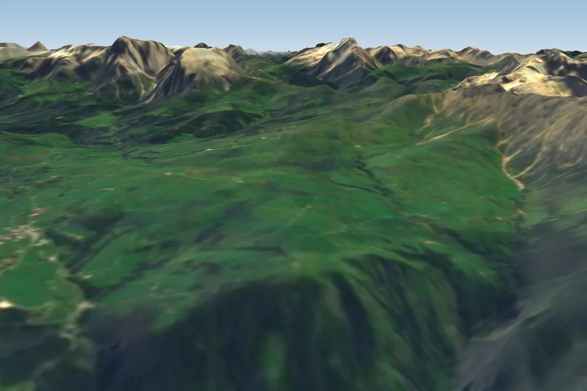 Spitzbuhel -Siusi/ Seis am Schlern12 km SW · Faces NWWorks in other winds
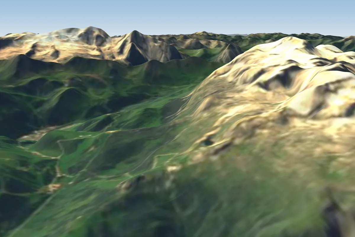 Corvara Boè - Vallon13 km SE · Faces NE, SE, SWorks in other winds
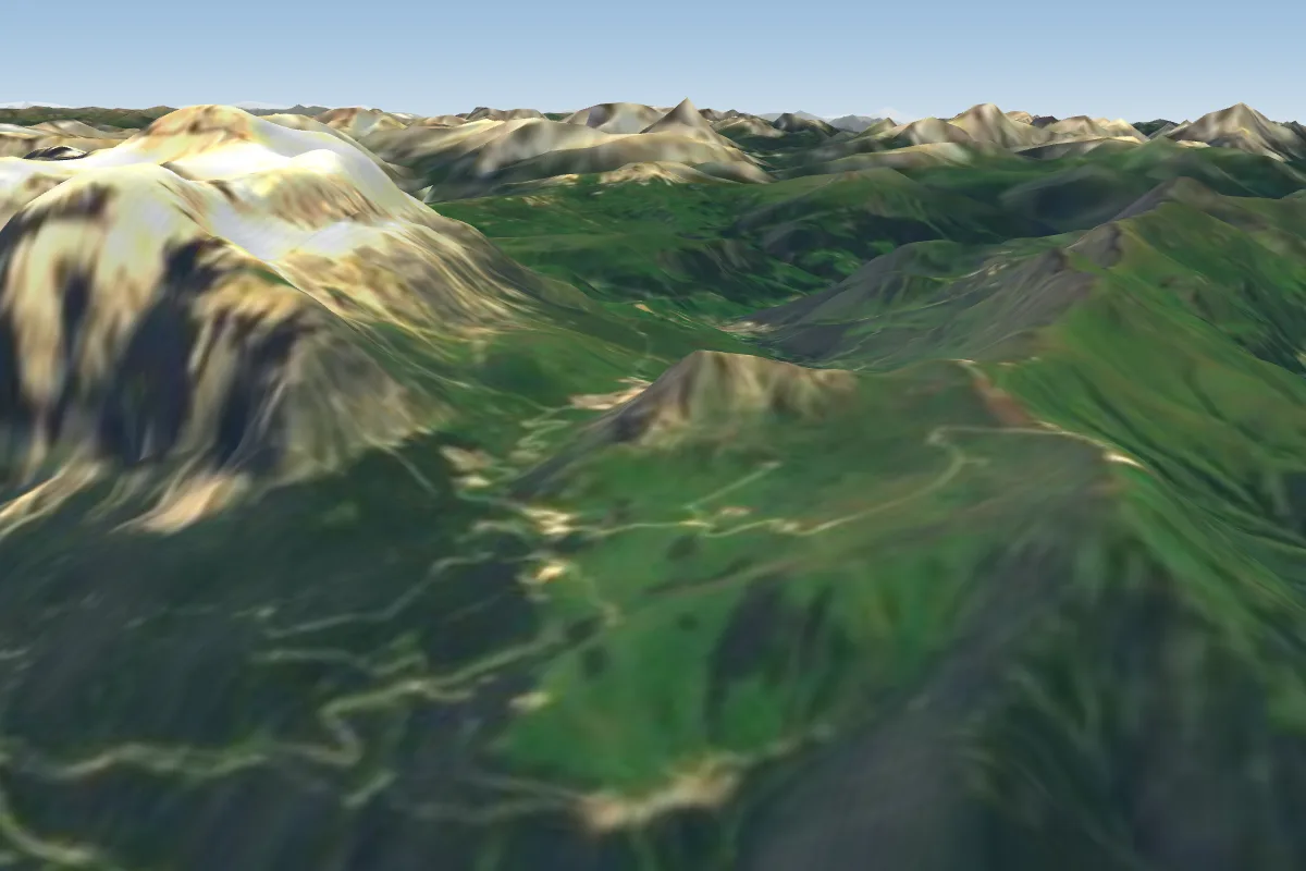 Campitello-Canazei-Brodol14 km S · Faces W
Pilot notes
No notes yet. Flown Seceda? Tell the next pilot what to expect.
Pilot notes on Seceda
Flying Seceda?
Takeoff, landing, rules, the hour by hour forecast and live wind are in the site details on the map.
Open site detailsSources
- ParaglidingEarth site record © ParaglidingEarth contributors (CC BY-SA)