Tremezzo-Crocione-Bellagio
SE to S facing site · 1,598 m takeoff · 1,365 m height gain
Overview
Tremezzo-Crocione-Bellagio is a flying site in the Italian Alps with a recorded launch elevation of 1,598 m. It works best in south-easterly and southerly winds, and can also work in north-easterly and easterly winds. It is recorded as suitable for cross-country flights.
- One of the most spectacular walk-up and fly down sites in Lombardia. Source: ParaglidingEarth
When to go
Flyable days per month in a typical year.
Flyable days for Tremezzo-Crocione-Bellagio are on the way. We are scoring ten years of weather for every site, month by month, against this site, its region and the sites around it.
Local weather notes
- Do no fly with Northern wind! In spring and summer thunderstorms can form very quickly. Source: ParaglidingEarth
Getting there
Nearest airports
- LUG Lugano Airport22 km
- BGY Il Caravaggio International Airport55 km
- MXP Milan Malpensa International Airport55 km
Where to stay
The nearest towns, for a bed, food and a lift to takeoff.
- Mandello del Lario14 km awayBooking.comAirbnb
- Lugano19 km away · cityBooking.comAirbnb
- Colico20 km awayBooking.comAirbnb
Things to do
For the days the wind is wrong: places worth a visit within 10 km of Tremezzo-Crocione-Bellagio.
 Monte di TremezzoOutdoors · 0.8 km awayMountain in Italy
 Monte GalbigaOutdoors · 2.6 km awayMountain in Italy
 Grand Hotel TremezzoOutdoors · 3.5 km awayHôtel on Lake Como, Italy
 Church of the Ascension, GrianteCulture · 3.7 km awayChurch in Italy
 Isola ComacinaOutdoors · 4.8 km awayIsland in Lake Como, Italy
 Lake ComoOutdoors · 5.7 km awayLake in Lombardy, Italy
 Monte GronaOutdoors · 6.5 km awayMountain in Italy
 Castello di VezioCulture · 7.2 km awayCastle in northern Italy
Flying nearby
See them on the map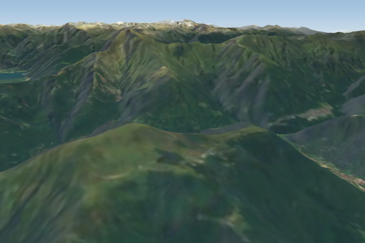 Alpe Giumello13 km E · Faces E–WWorks in other winds
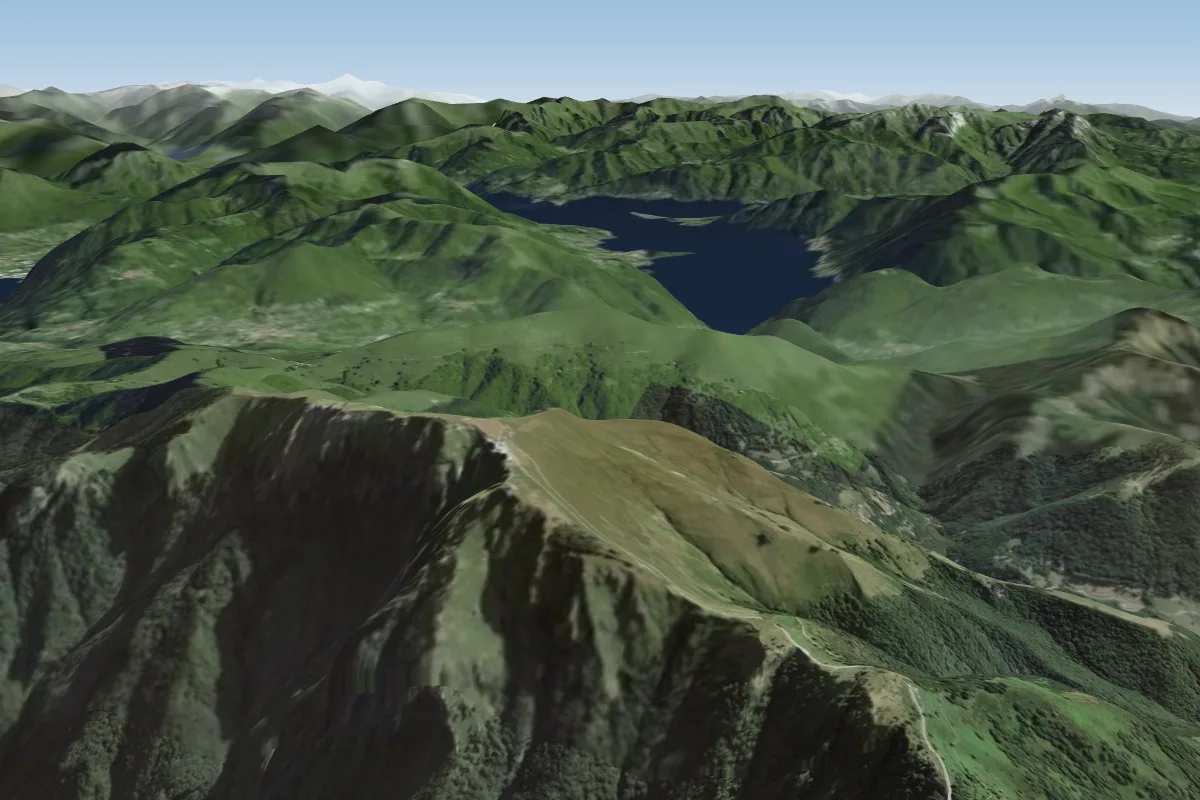 Monte Generoso -160017 km SW · Faces S–SWWorks in other winds
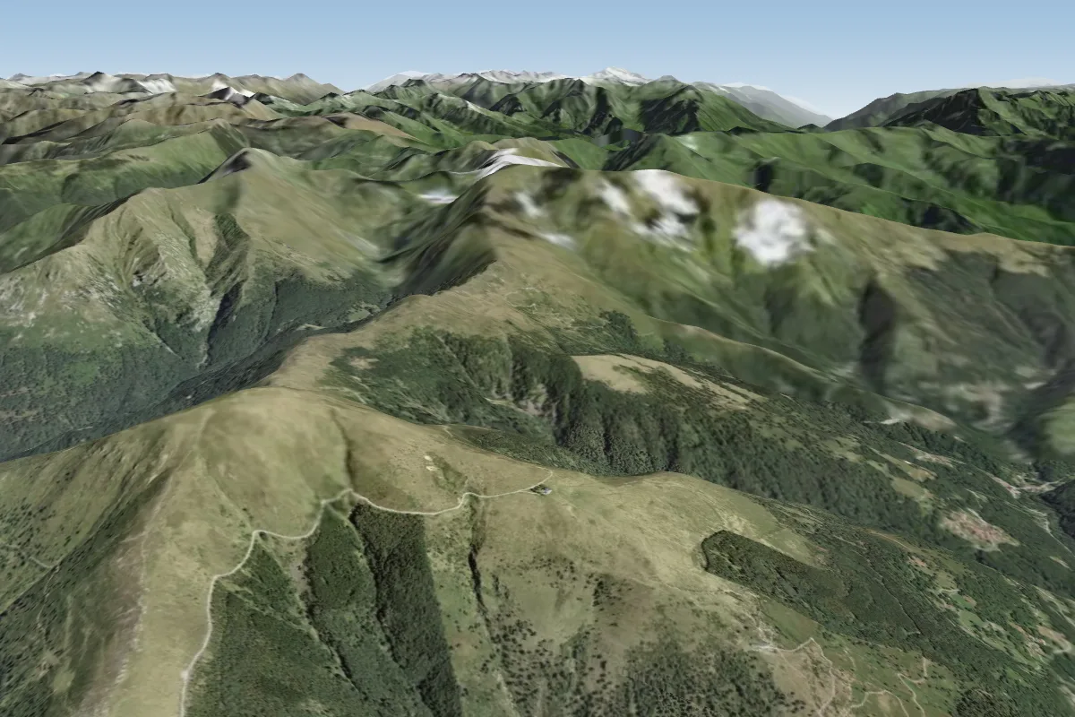 Monte Bar17 km NW · Faces SE–SWPossible XC from here on a SE day, 17 km downwindWorks in other winds
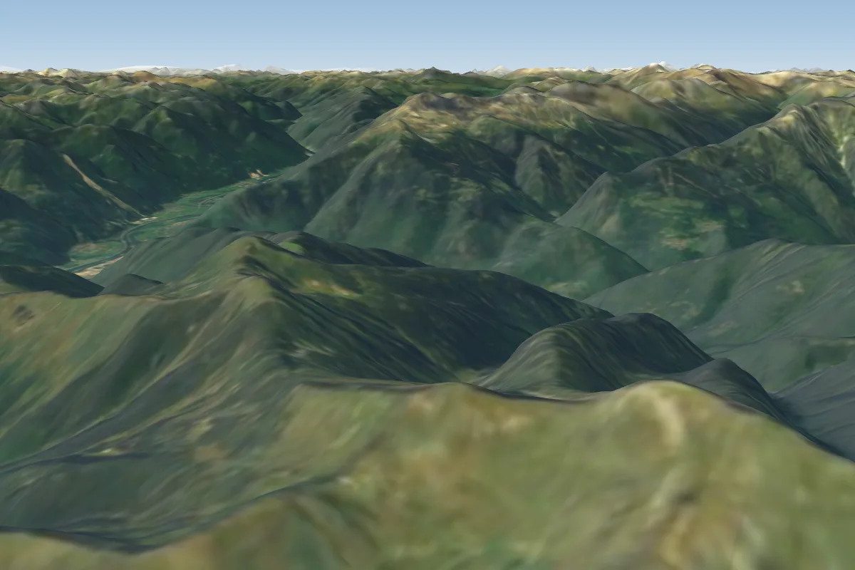 Cugn18 km N · Faces E–SEPossible XC from here on a S day, 18 km downwind
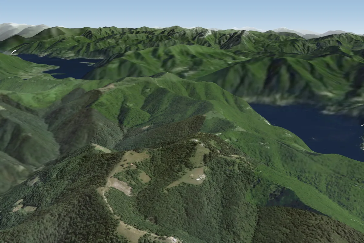 Monte Bisbino (Italien)18 km SW · Faces WWorks in other winds
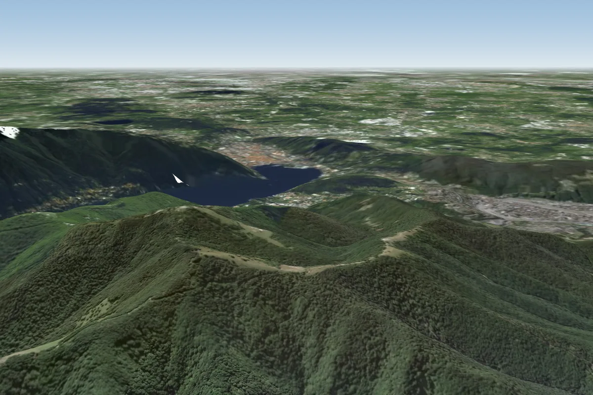 Croce dell uomo (Italien)18 km SW
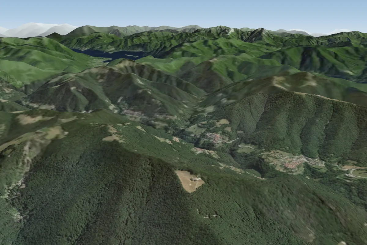 Alpe del Caviano20 km SW · Faces SWWorks in other winds
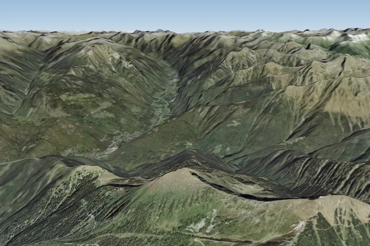 Corno di Gesero21 km N · Faces SPossible XC from here on a S day, 21 km downwind
Pilot notes
No notes yet. Flown Tremezzo-Crocione-Bellagio? Tell the next pilot what to expect.
Pilot notes on Tremezzo-Crocione-Bellagio
Flying Tremezzo-Crocione-Bellagio?
Takeoff, landing, rules, the hour by hour forecast and live wind are in the site details on the map.
Open site detailsSources
- ParaglidingEarth site record © ParaglidingEarth contributors (CC BY-SA)