Zuccul Supigna
Ridge site · 1,040 m takeoff
Overview
Zuccul Supigna is a mountain site in the Italian Alps with a recorded launch elevation of 1,040 m. No launch directions are recorded yet. Pilots fly it for ridge soaring and thermal, using foot launch. It is recorded as suitable for cross-country flights.
- You should pay attention to the early morning flights considering that possibile landings between Malnisio and Montereale area are affected by the Northern catabatic wind coming from val Cellina. Source: ParaglidingEarth
When to go
Flyable days per month in a typical year.
Flyable days for Zuccul Supigna are on the way. We are scoring ten years of weather for every site, month by month, against this site, its region and the sites around it.
Getting there
Nearest airports
- TSF Treviso Airport64 km
- VCE Venice Marco Polo Airport74 km
- TRS Trieste Airport75 km
Where to stay
The nearest towns, for a bed, food and a lift to takeoff.
- Maniago8 km awayBooking.comAirbnb
- Cordenons19 km awayBooking.comAirbnb
- Fontanafredda20 km awayBooking.comAirbnb
Things to do
For the days the wind is wrong: places worth a visit within 10 km of Zuccul Supigna.


Flying nearby
See them on the map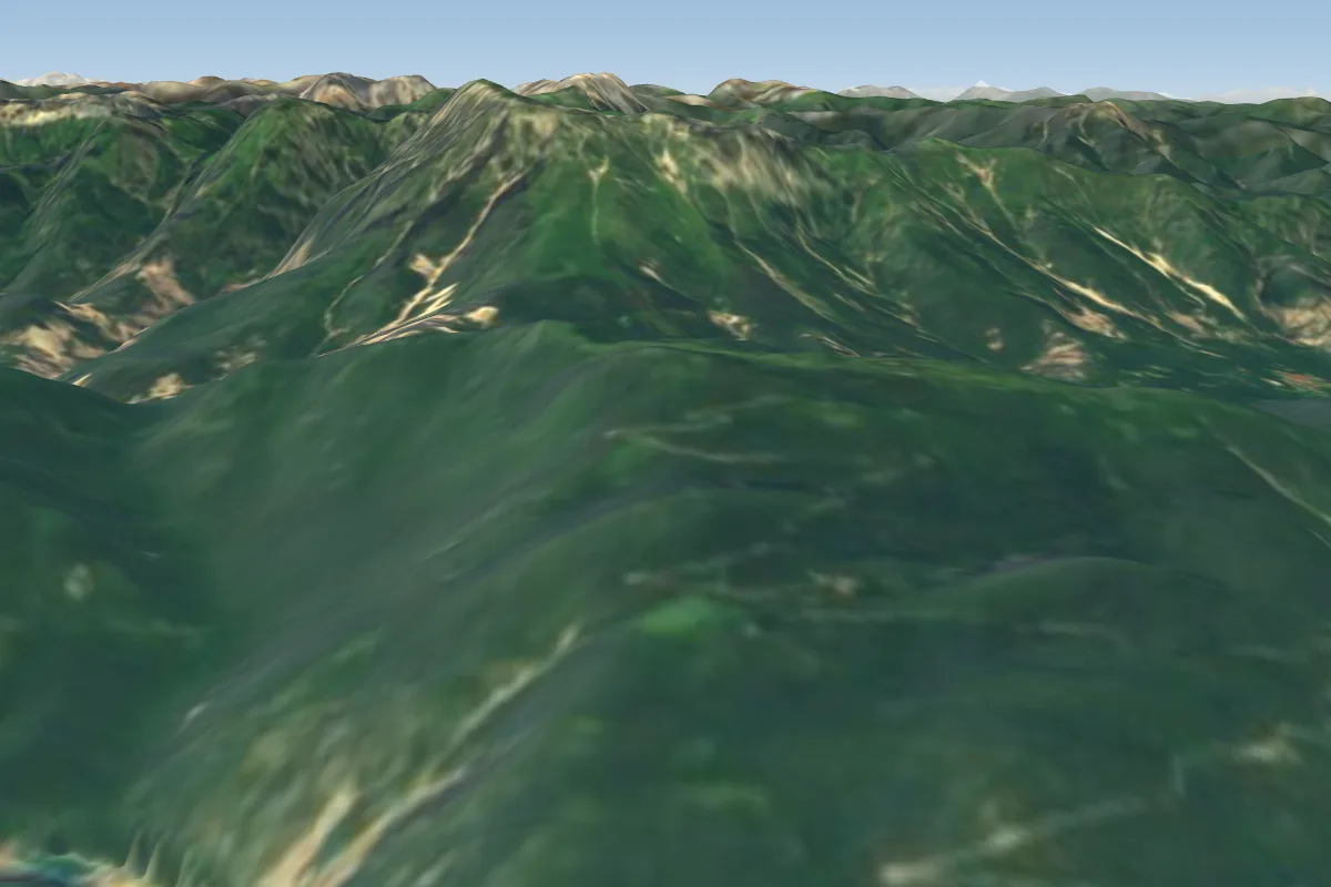 Maniago - Monte Jouf6 km NE · Faces SE–SWorks in other winds
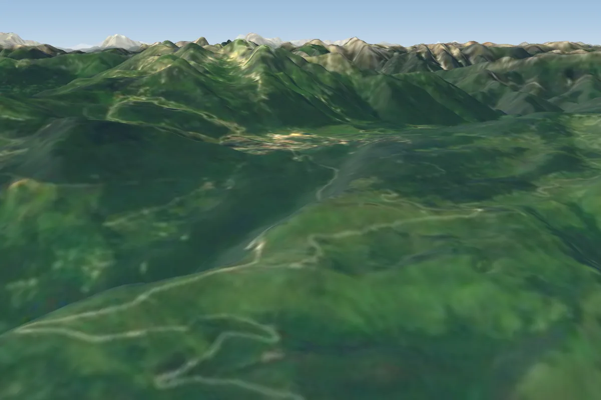 Aviano9 km SW · Faces SWorks in other winds
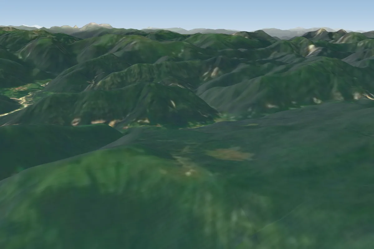 Meduno18 km NE · Faces SWWorks in other winds
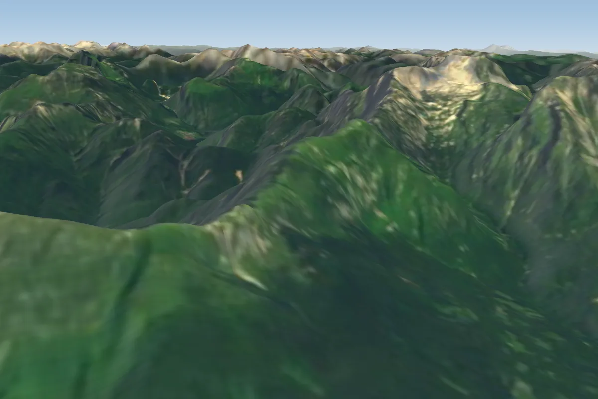 Pieve d Alpago - Dolada20 km W · Faces SWWorks in other winds
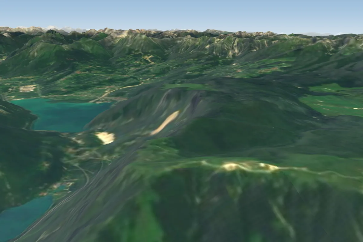 Fregona Pizzoc24 km SW
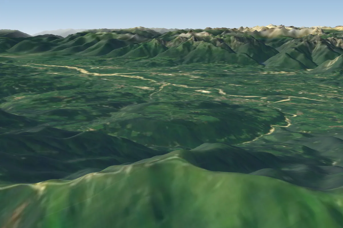 Col Visentin27 km W
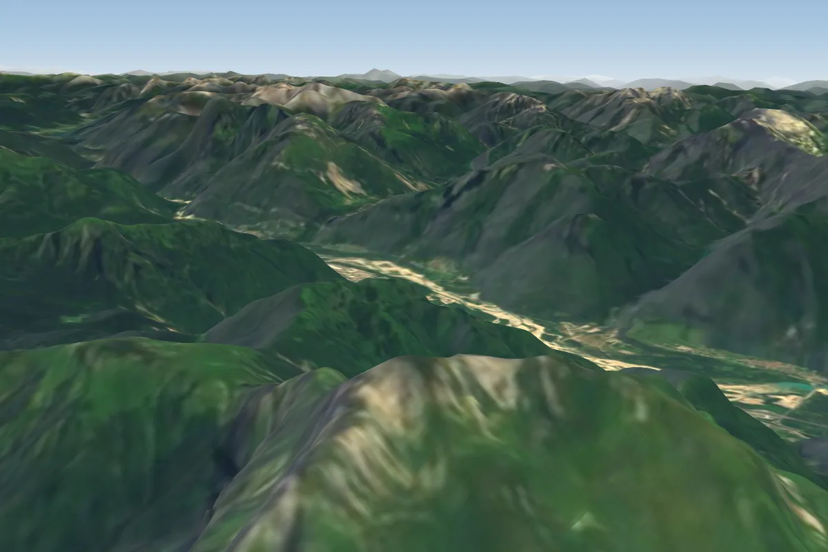 Belluno Monte Serva30 km W
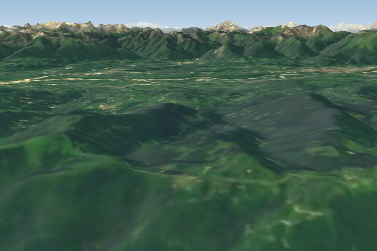 Revine35 km SW · Faces SEWorks in other winds
Pilot notes
No notes yet. Flown Zuccul Supigna? Tell the next pilot what to expect.
Pilot notes on Zuccul Supigna
Flying Zuccul Supigna?
Takeoff, landing, rules, the hour by hour forecast and live wind are in the site details on the map.
Open site detailsSources
- ParaglidingEarth site record © ParaglidingEarth contributors (CC BY-SA)