Struga
East-facing thermal site · 1,581 m takeoff
Overview
Struga is a mountain site in North Macedonia with a recorded launch elevation of 1,581 m. It works best in easterly winds, and can also work in north-easterly and south-easterly winds. Pilots fly it for thermal, using foot launch.
- Bardzo termiczne miejsce, świetny plac zabaw. Możesz mieć dużą wysokość do zabawy. Trudne pokonywanie terenu. Z przodu znajduje się teren lotniska, za tobą granica Albanii, na północy strome zalesione doliny. Source: ParaglidingEarth
When to go
Flyable days per month in a typical year.
Flyable days for Struga are on the way. We are scoring ten years of weather for every site, month by month, against this site, its region and the sites around it.
Getting there
Nearest airports
- OHD Ohrid St. Paul the Apostle Airport13 km
- TIA Tirana International Airport Mother Teresa77 km
- SKP Skopje International Airport123 km
Where to stay
The nearest towns, for a bed, food and a lift to takeoff.
- Struga8 km awayBooking.comAirbnb
- Prrenjas11 km awayBooking.comAirbnb
- Ohrid19 km away · cityBooking.comAirbnb
Things to do
For the days the wind is wrong: places worth a visit within 10 km of Struga.

Flying nearby
See them on the map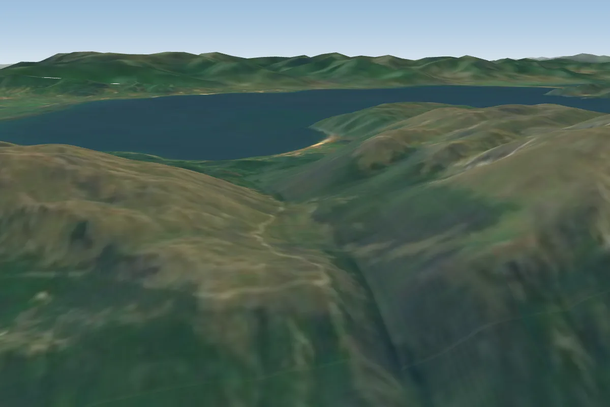 Ohrid30 km SE · Faces SW–NWWorks in other winds
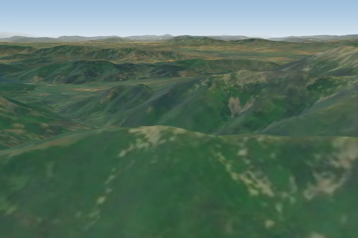 Chuka47 km E · Faces SW–NWWorks in other winds
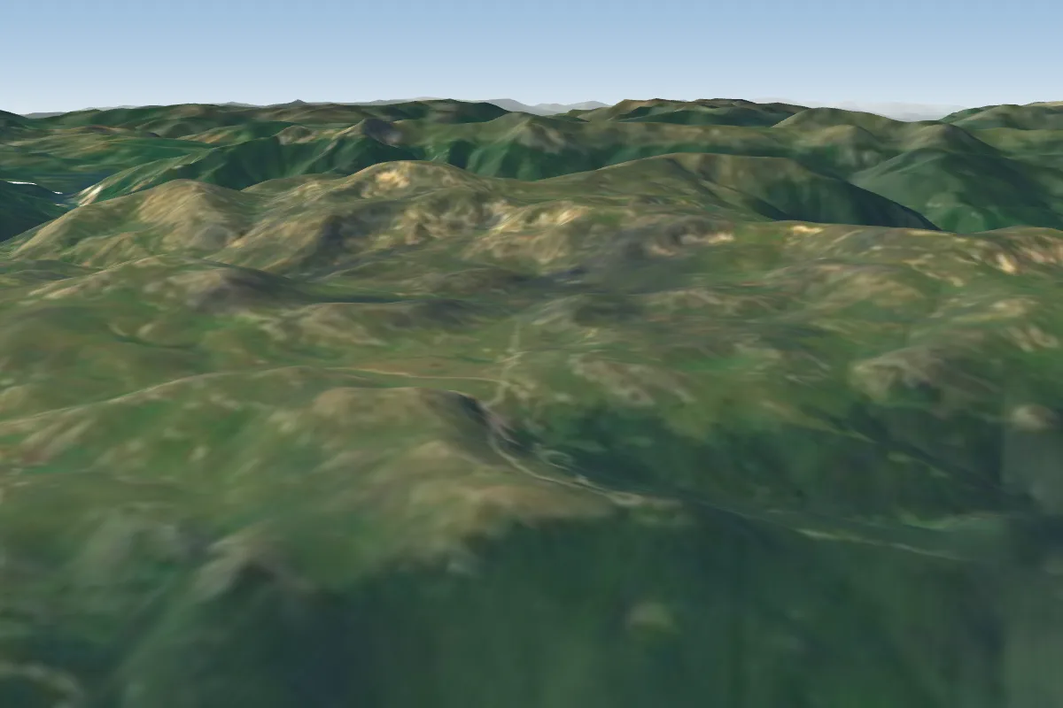 Mavrovo55 km N · Faces NE
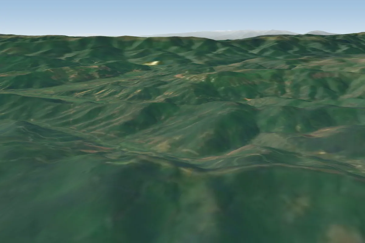 Krusevo59 km E · Faces NE, E, SE, SW, WWorks in other winds
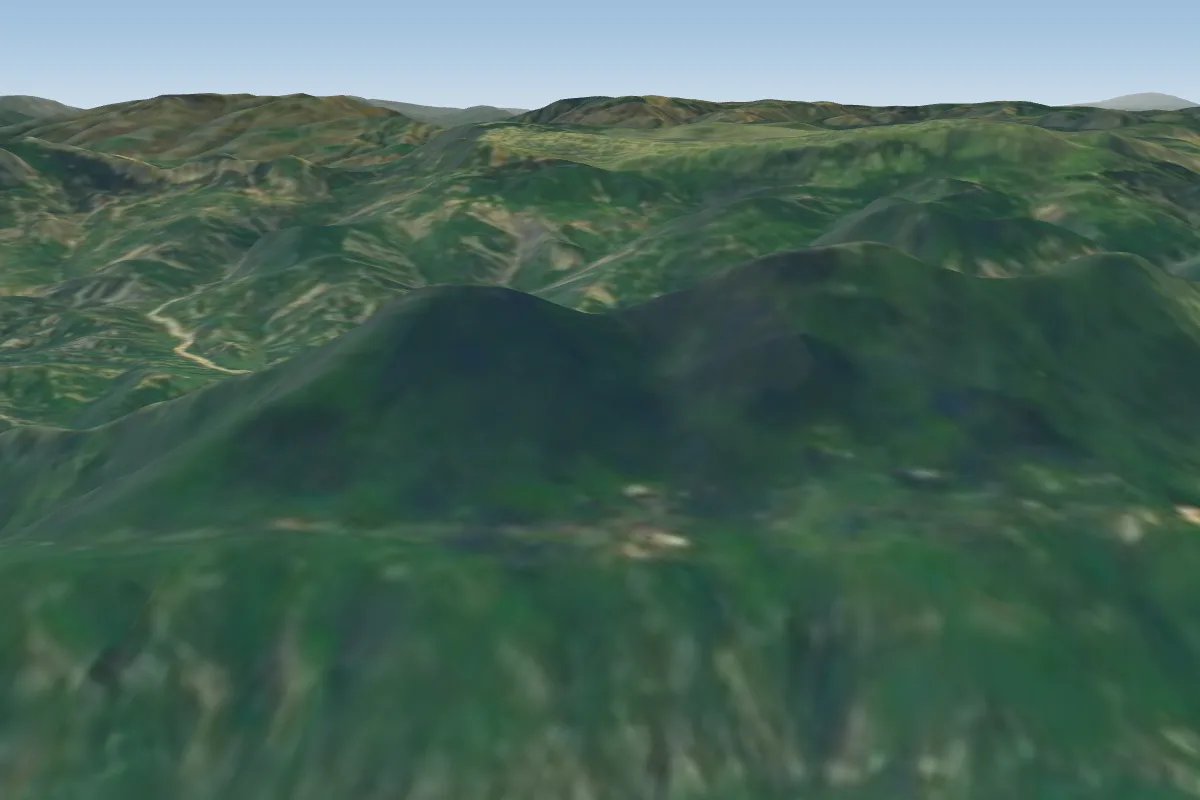 Dajti61 km W · Faces W–NWWorks in other winds
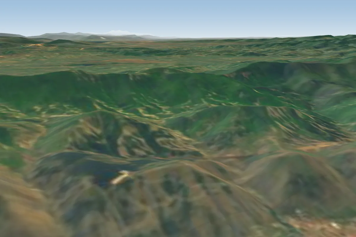 korca take off65 km S · Faces W–NWWorks in other winds
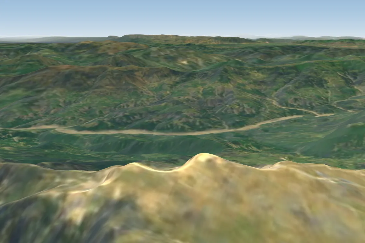 Morgen Tomorr 2400m69 km SW · Faces WWorks in other winds
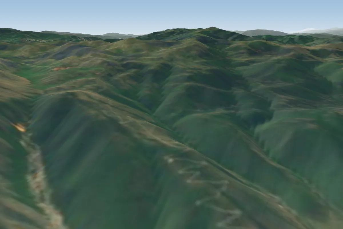 Cegrane81 km NE · Faces NWWorks in other winds
Pilot notes
No notes yet. Flown Struga? Tell the next pilot what to expect.
Pilot notes on Struga
Flying Struga?
Takeoff, landing, rules, the hour by hour forecast and live wind are in the site details on the map.
Open site detailsSources
- ParaglidingEarth site record © ParaglidingEarth contributors (CC BY-SA)