Mała Kopa
North-facing site · 683 m takeoff
Overview
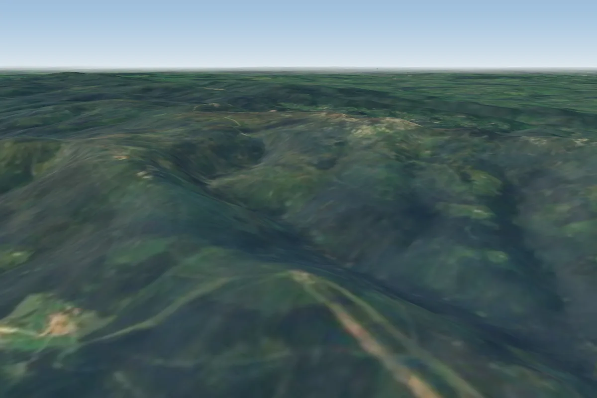
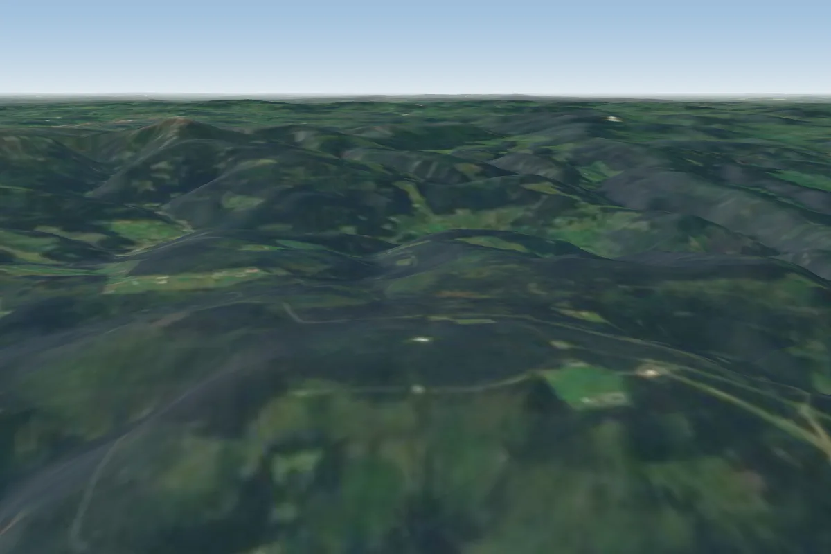
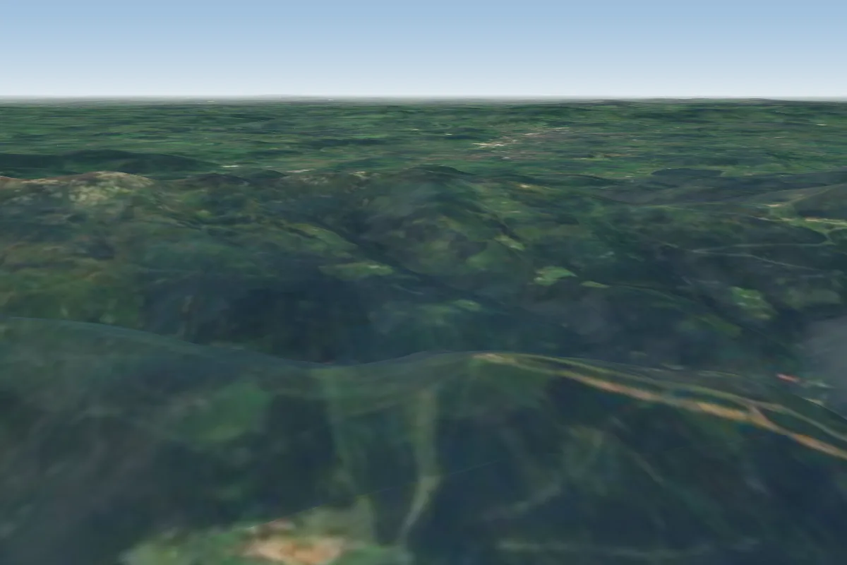
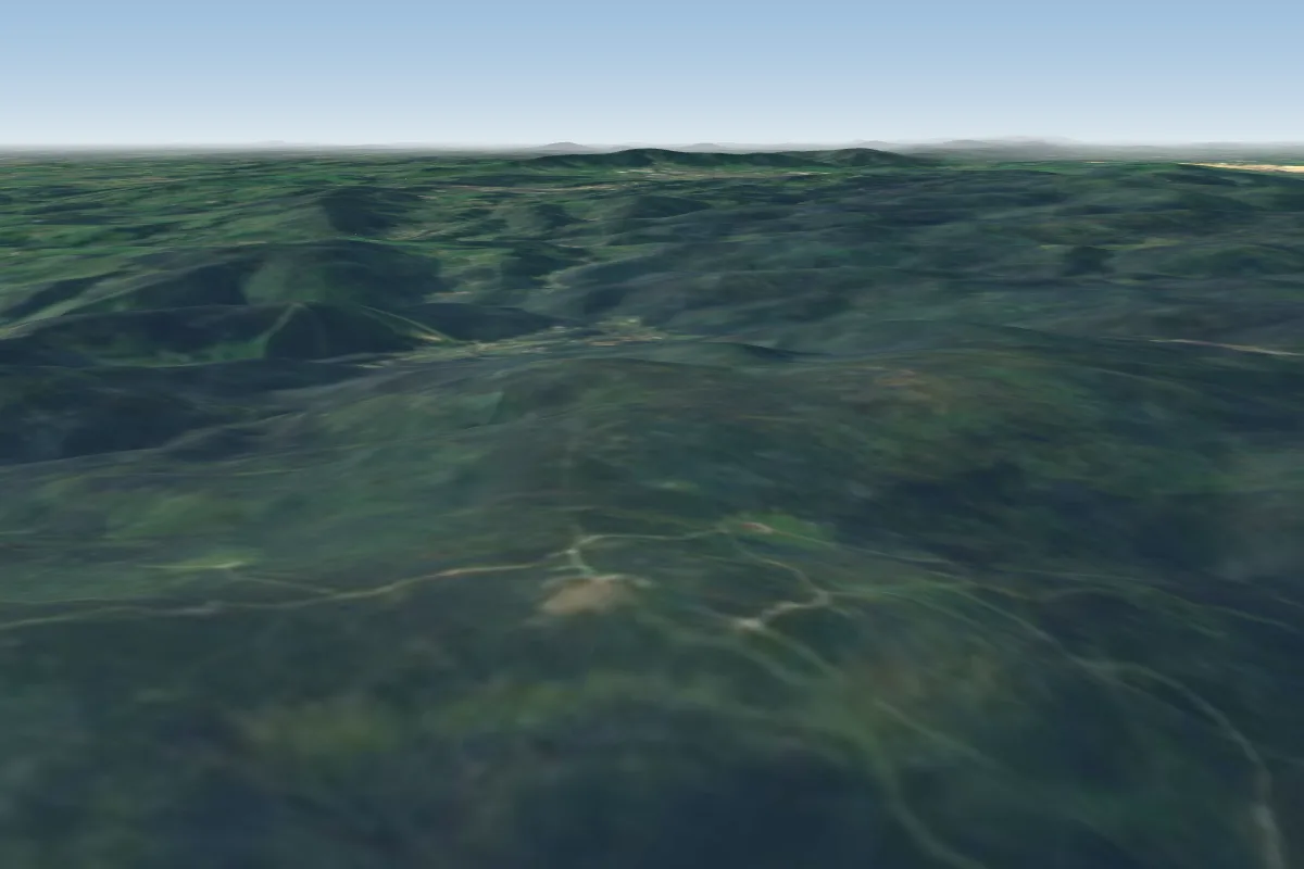
Mała Kopa is a flying site in Poland with a recorded launch elevation of 683 m. It is recorded as workable in northerly winds.
- Unofficial takeoff site. Allowed only with permission of Karkonoski National Park's guards. Source: ParaglidingEarth
When to go
Flyable days per month in a typical year.
Flyable days for Mała Kopa are on the way. We are scoring ten years of weather for every site, month by month, against this site, its region and the sites around it.
Getting there
Nearest airports
- PED Pardubice Airport84 km
- WRO Copernicus Wrocław Airport87 km
- PRG Václav Havel Airport Prague129 km
Things to do
For the days the wind is wrong: places worth a visit within 10 km of Mała Kopa.
 Vang Stave ChurchCulture · 2.6 km awayChurch in Karpacz, Poland
 Czarna KopaOutdoors · 2.8 km awayMountain in Poland and the Czech Republic
 SněžkaOutdoors · 3.5 km awayMountain on Czech-Polish border
 Krkonoše National ParkOutdoors · 3.5 km awayNational park in the Czech Republic
 Western SudetesOutdoors · 3.5 km awayMountain range in Europe
 St. Lawrence's Chapel, SněžkaCulture · 3.6 km awayCatholic chapel in Poland
 Mały StawOutdoors · 4.2 km awayLake in Karkonosze National Park, Poland
 Wielki StawOutdoors · 4.3 km awayLake in Lower Silesian Voivodeship, Poland
Flying nearby
See them on the map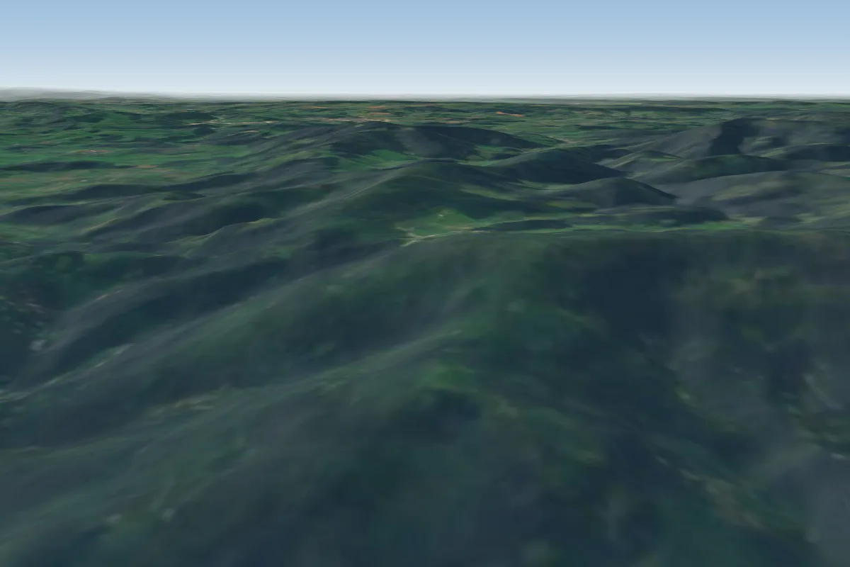
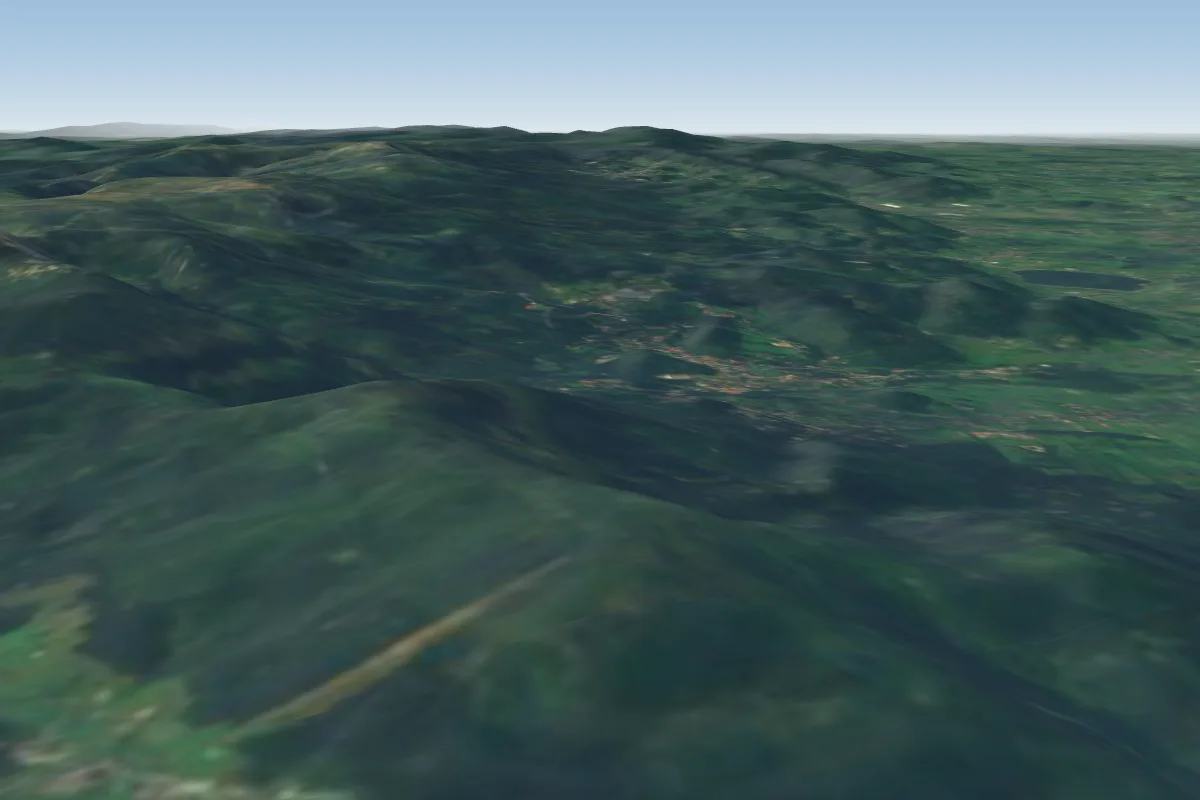
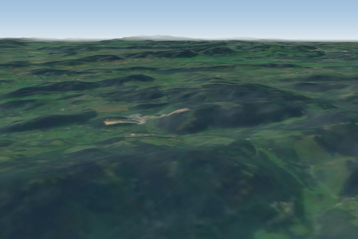
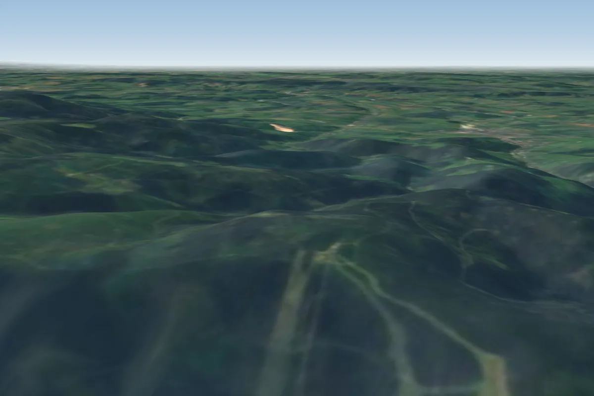
Pilot notes
No notes yet. Flown Mała Kopa? Tell the next pilot what to expect.
Pilot notes on Mała Kopa
Flying Mała Kopa?
Takeoff, landing, rules, the hour by hour forecast and live wind are in the site details on the map.
Open site detailsSources
- ParaglidingEarth site record © ParaglidingEarth contributors (CC BY-SA)