Skrzetla
North-east-facing site · 613 m takeoff
Overview
Skrzetla is a flying site in Poland with a recorded launch elevation of 613 m. It is recorded as workable in north-easterly winds.
When to go
Flyable days per month in a typical year.
Flyable days for Skrzetla are on the way. We are scoring ten years of weather for every site, month by month, against this site, its region and the sites around it.
Getting there
Nearest airports
- KRK Kraków John Paul II International Airport70 km
- TAT Poprad-Tatry Airport76 km
- RZE Rzeszów-Jasionka Airport112 km
Where to stay
The nearest towns, for a bed, food and a lift to takeoff.
- Limanowa12 km awayBooking.comAirbnb
- Nowy Sącz13 km away · cityBooking.comAirbnb
- Czchów15 km awayBooking.comAirbnb
Flying nearby
See them on the map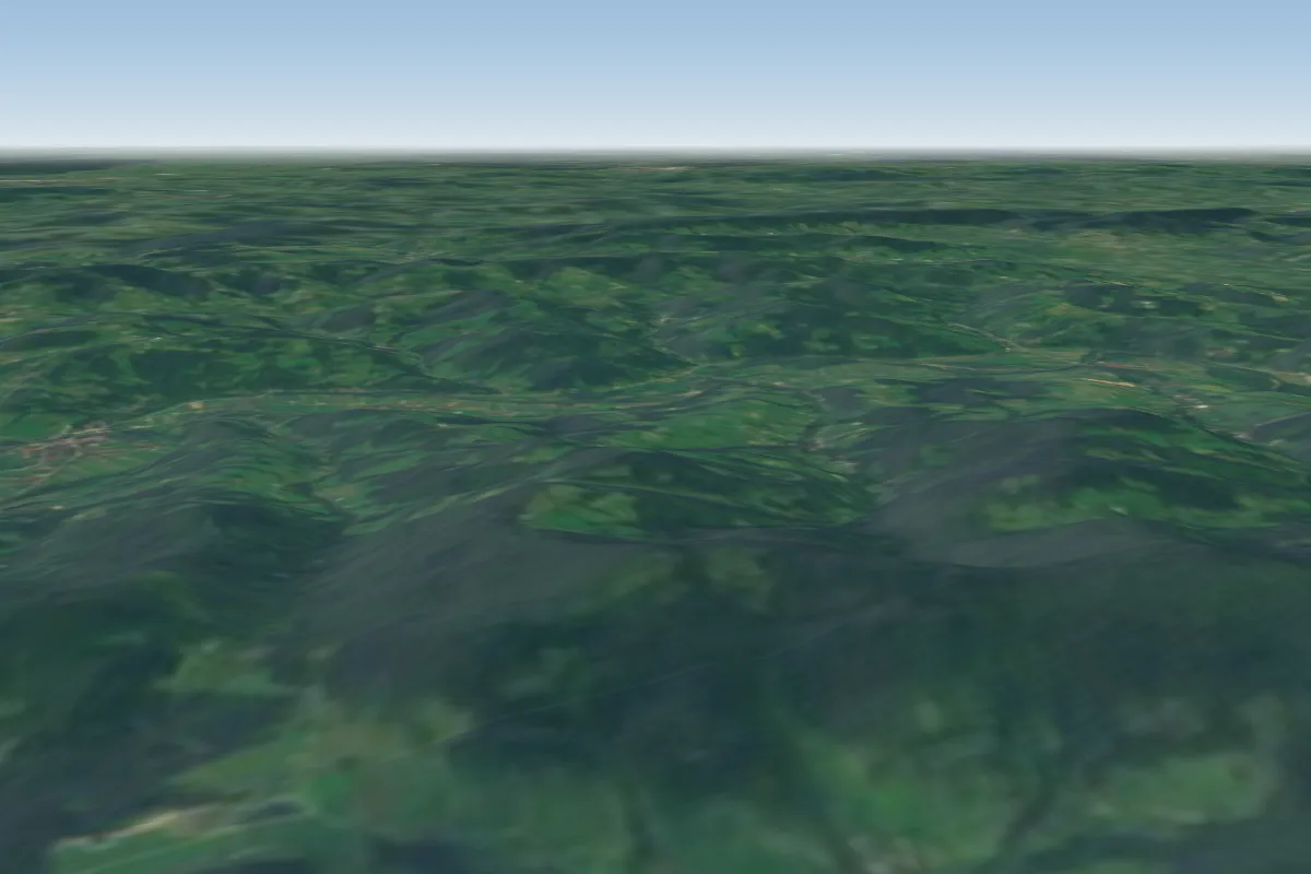 Salasz9 km W
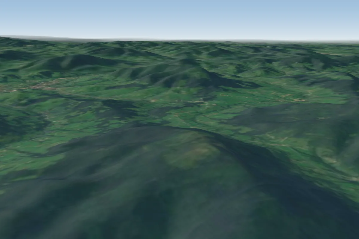 Ćwilin29 km W
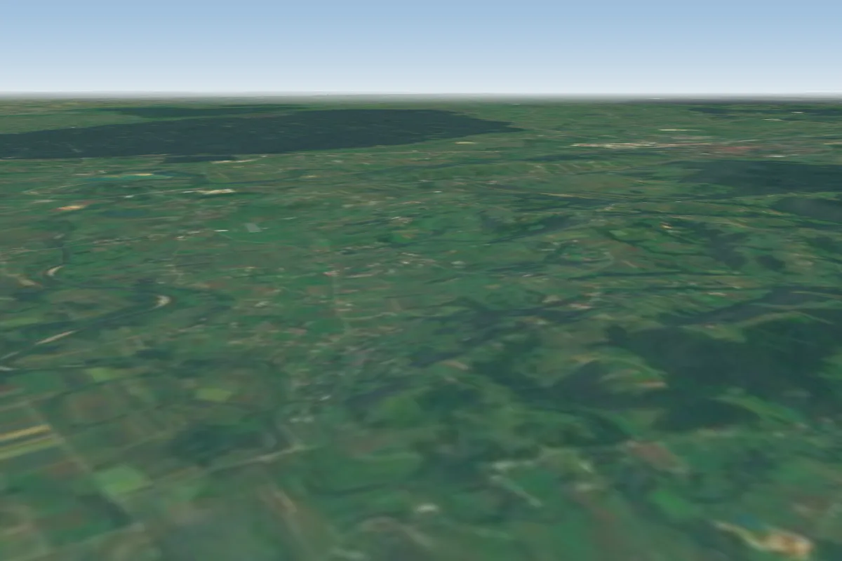 Stradomka30 km NW · Faces SWWorks in other winds
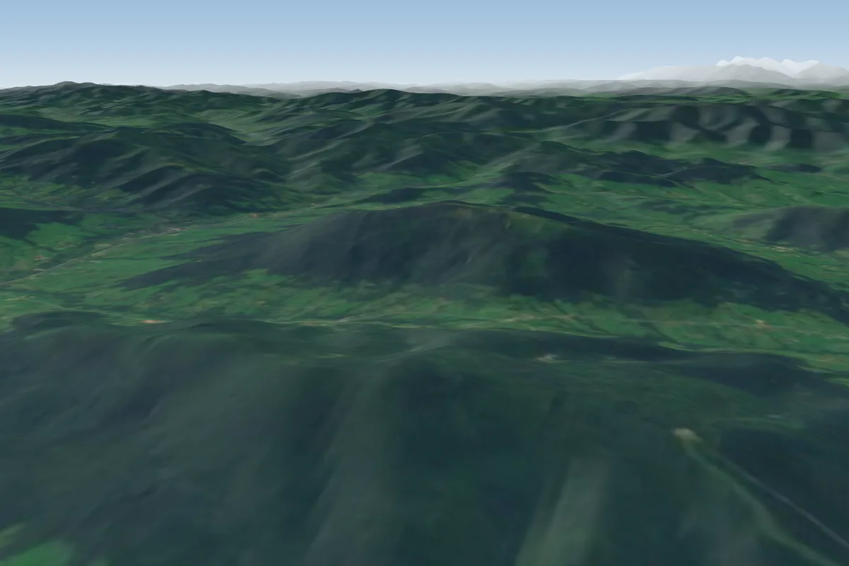 Snieznica30 km W · Faces NWorks in other winds
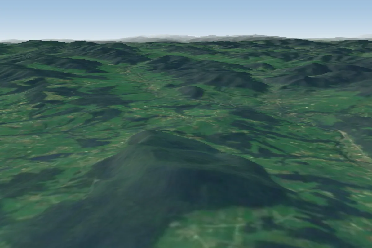 Che?m k. Grybowa32 km SE · Faces NW–NWorks in other winds
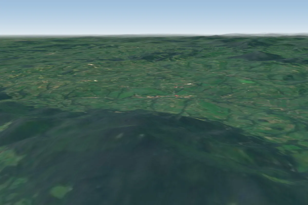 Ciecien33 km W · Faces WWorks in other winds
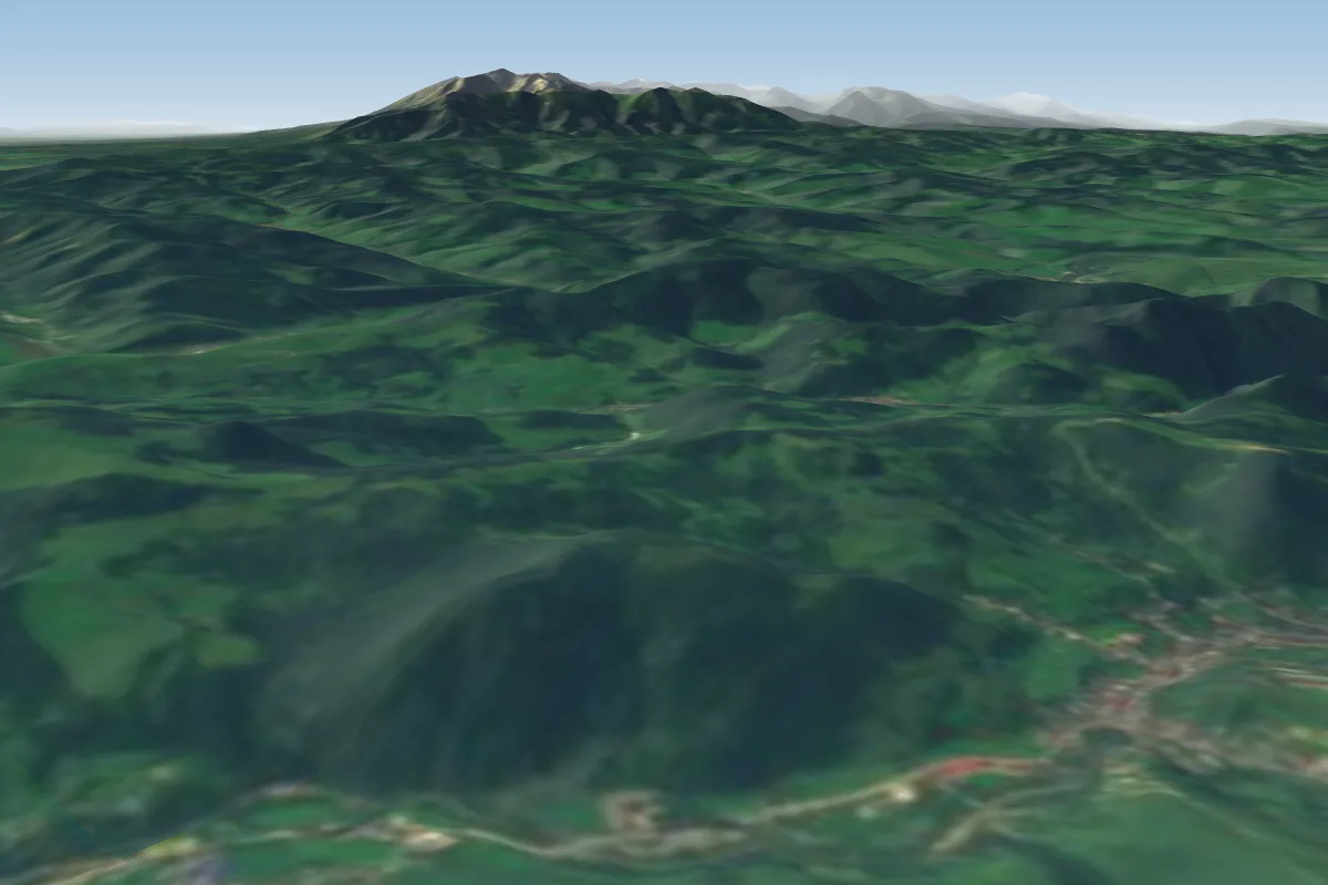 Jarmuta34 km S · Faces N–NEWorks in other winds
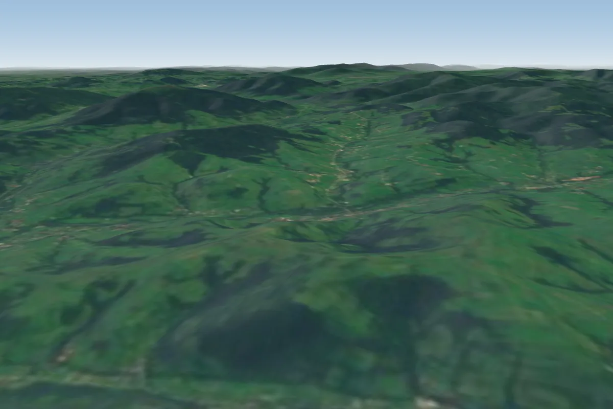 Podobin37 km W · Faces S–SWWorks in other winds
More paragliding sites near Skrzetla
- Wierchomla 38 km away
Pilot notes
No notes yet. Flown Skrzetla? Tell the next pilot what to expect.
Pilot notes on Skrzetla
Flying Skrzetla?
Takeoff, landing, rules, the hour by hour forecast and live wind are in the site details on the map.
Open site detailsSources
- ParaglidingEarth site record © ParaglidingEarth contributors (CC BY-SA)