Zieleniec
North-east-facing thermal site · 969 m takeoff · 240 m height gain
Overview
Zieleniec is a mountain site in Poland with a recorded launch elevation of 969 m. It works best in north-easterly winds, and can also work in easterly winds. Pilots fly it for thermal, using foot launch.
When to go
Flyable days per month in a typical year.
Flyable days for Zieleniec are on the way. We are scoring ten years of weather for every site, month by month, against this site, its region and the sites around it.
Getting there
Nearest airports
- PED Pardubice Airport58 km
- WRO Copernicus Wrocław Airport92 km
- BRQ Brno-Tuřany Airport134 km
Where to stay
The nearest towns, for a bed, food and a lift to takeoff.
- Duszniki-Zdrój8 km awayBooking.comAirbnb
- Szczytna10 km awayBooking.comAirbnb
- Polanica-Zdrój12 km awayBooking.comAirbnb
Things to do
For the days the wind is wrong: places worth a visit within 10 km of Zieleniec.


Flying nearby
See them on the map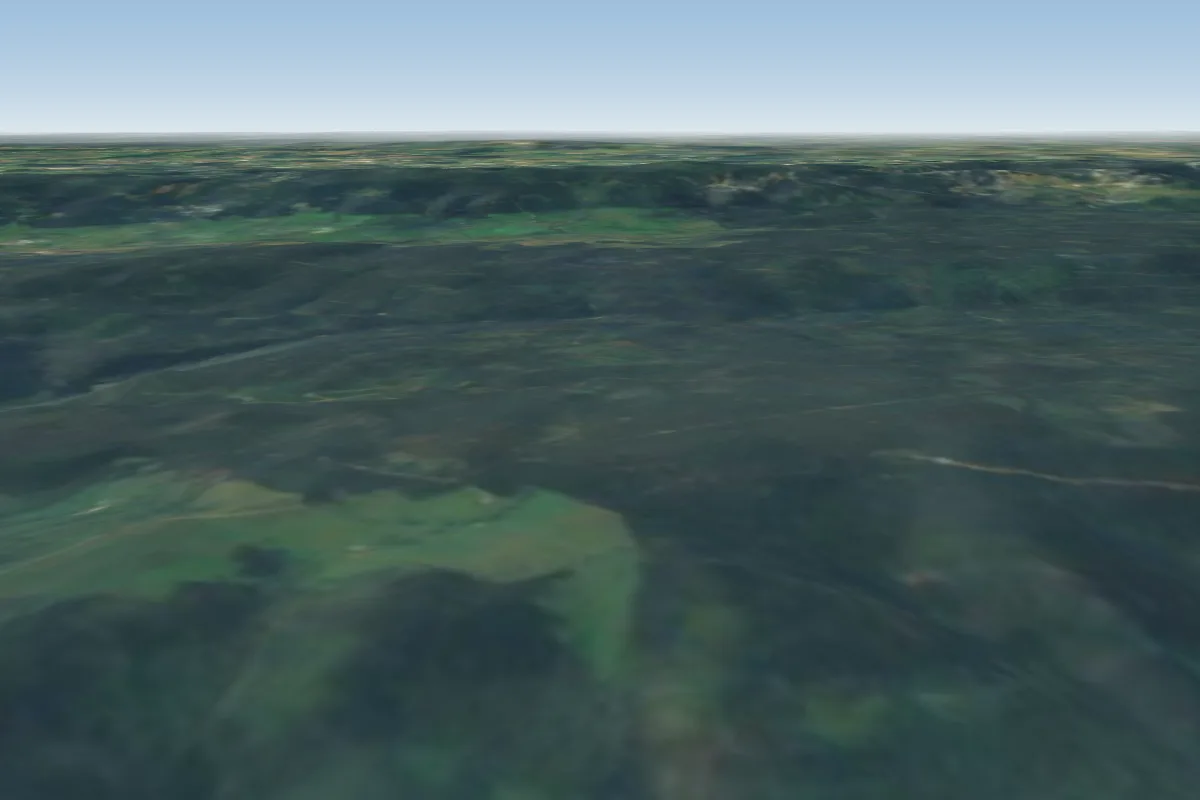 Huta12 km E · Faces NE
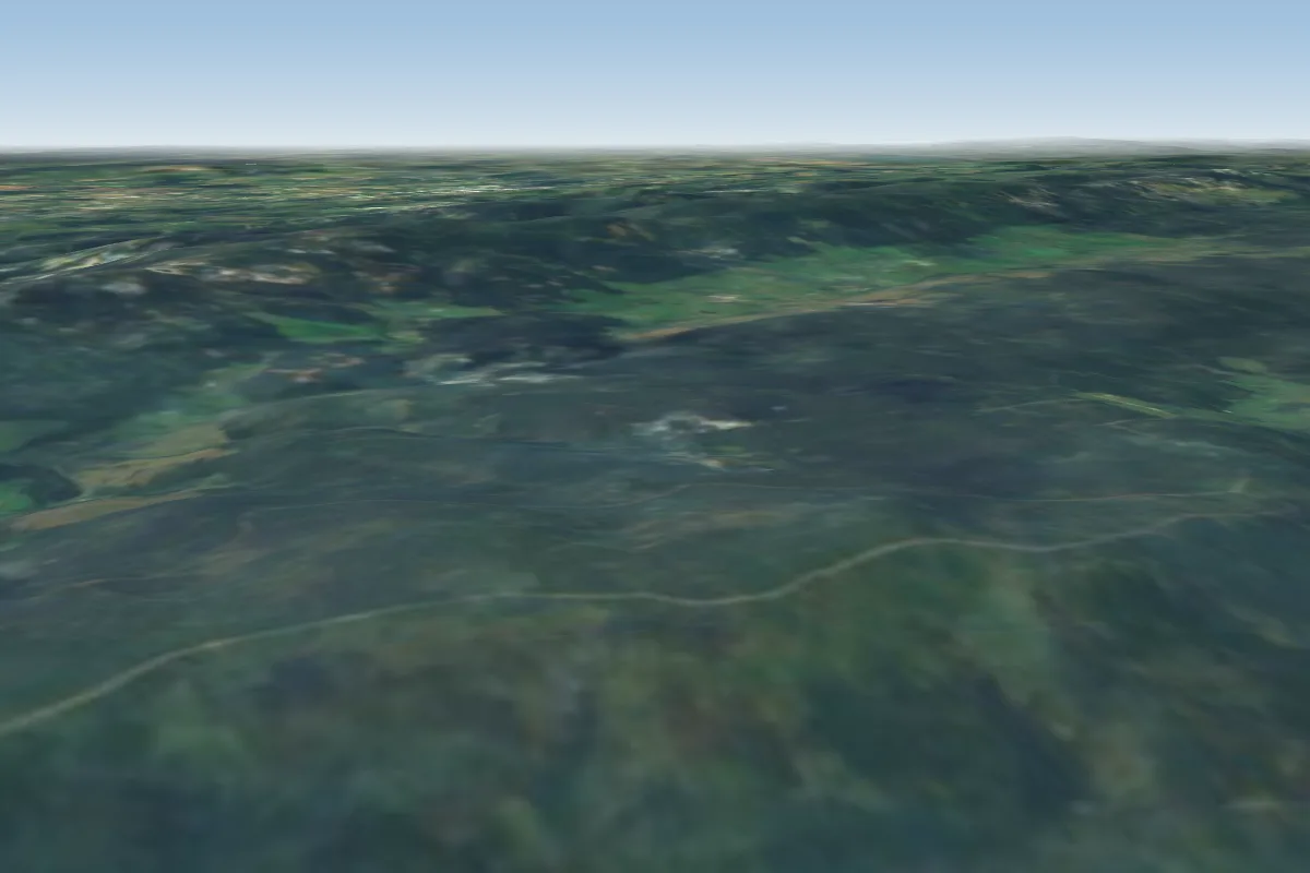 Jagodna16 km SE · Faces E
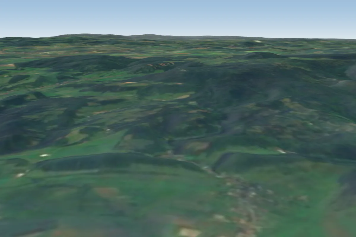 Kudowa-Czermna17 km NW · Faces SWWorks in other winds
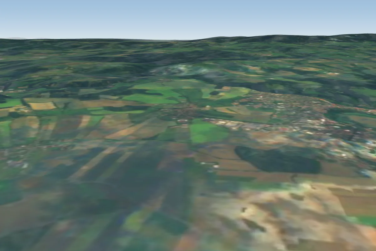 Nove Mesto nad Metuji19 km W
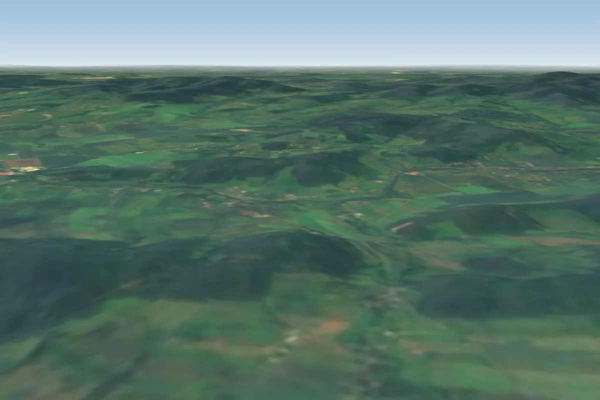 Mielnik20 km E · Faces SWWorks in other winds
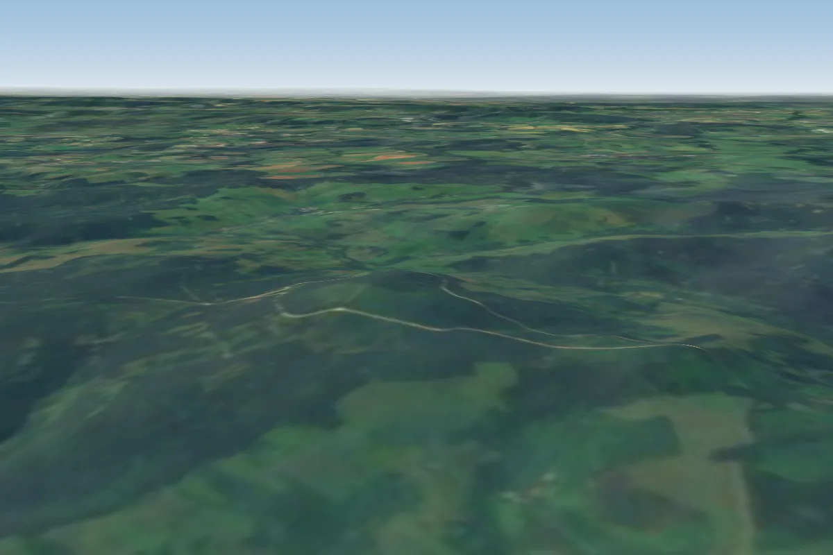 Gniewoszów21 km SE
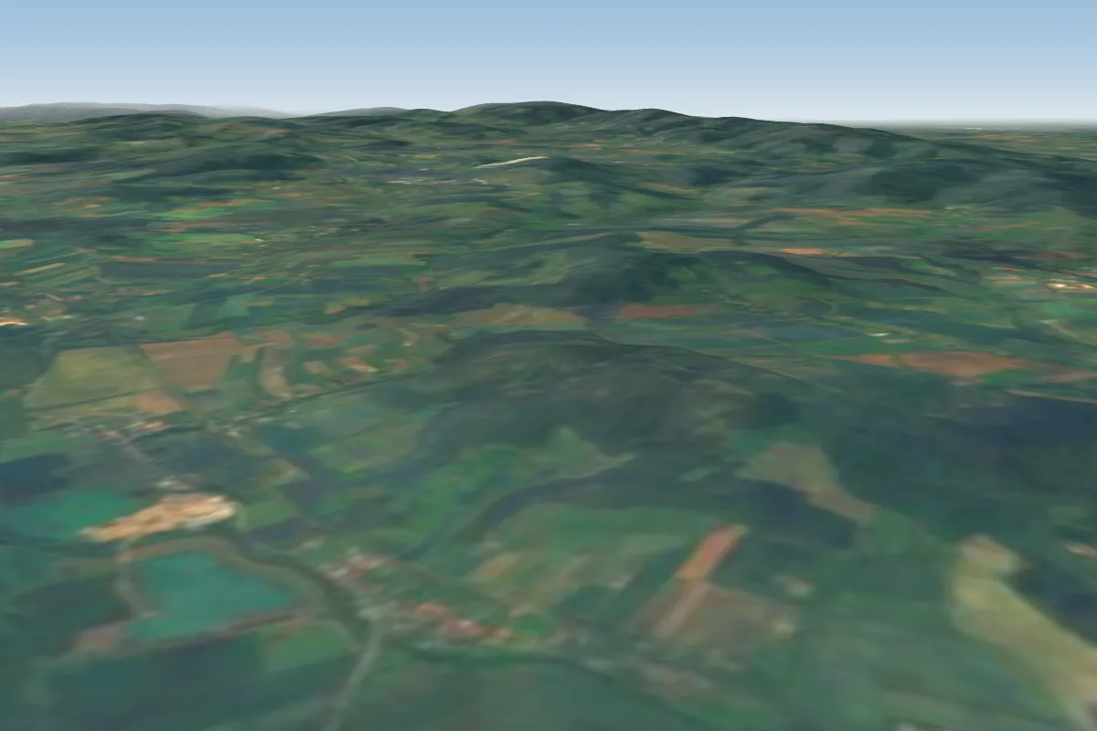 Gołogłowy23 km NE · Faces SEWorks in other winds
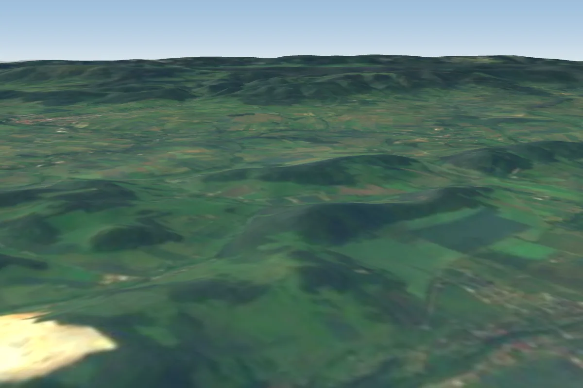 Sędzisz24 km E · Faces E
More paragliding sites near Zieleniec
- Vrbice NNE kontrolovat NOTAM 28 km away
Pilot notes
No notes yet. Flown Zieleniec? Tell the next pilot what to expect.
Pilot notes on Zieleniec
Flying Zieleniec?
Takeoff, landing, rules, the hour by hour forecast and live wind are in the site details on the map.
Open site detailsSources
- ParaglidingEarth site record © ParaglidingEarth contributors (CC BY-SA)