Ivanesti
N to NE facing ridge site · 453 m takeoff · 98 m height gain
Overview
Ivanesti is a flatland site in Romania with a recorded launch elevation of 453 m. It works best in northerly and north-easterly winds. Pilots fly it for ridge soaring and thermal, using foot launch.
When to go
Flyable days per month in a typical year.
Flyable days for Ivanesti are on the way. We are scoring ten years of weather for every site, month by month, against this site, its region and the sites around it.
Getting there
Nearest airports
- BCM Bacău George Enescu International Airport41 km
- IAS Iaşi International Airport63 km
- RMO Chişinău International Airport119 km
Where to stay
The nearest towns, for a bed, food and a lift to takeoff.
- Vaslui23 km away · cityBooking.comAirbnb
- Negresti24 km awayBooking.comAirbnb
- Bacău40 km away · cityBooking.comAirbnb
Flying nearby
See them on the map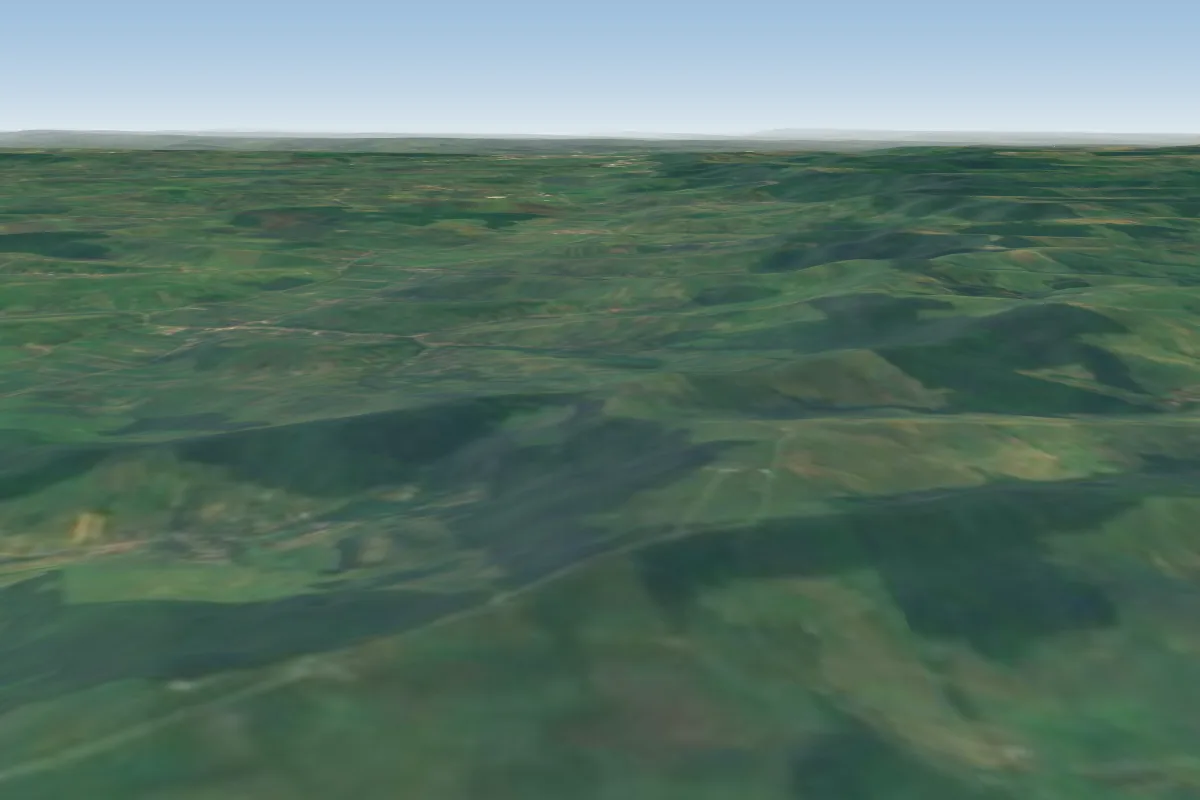 Valea Stejarului2 km W · Faces WWorks in other winds
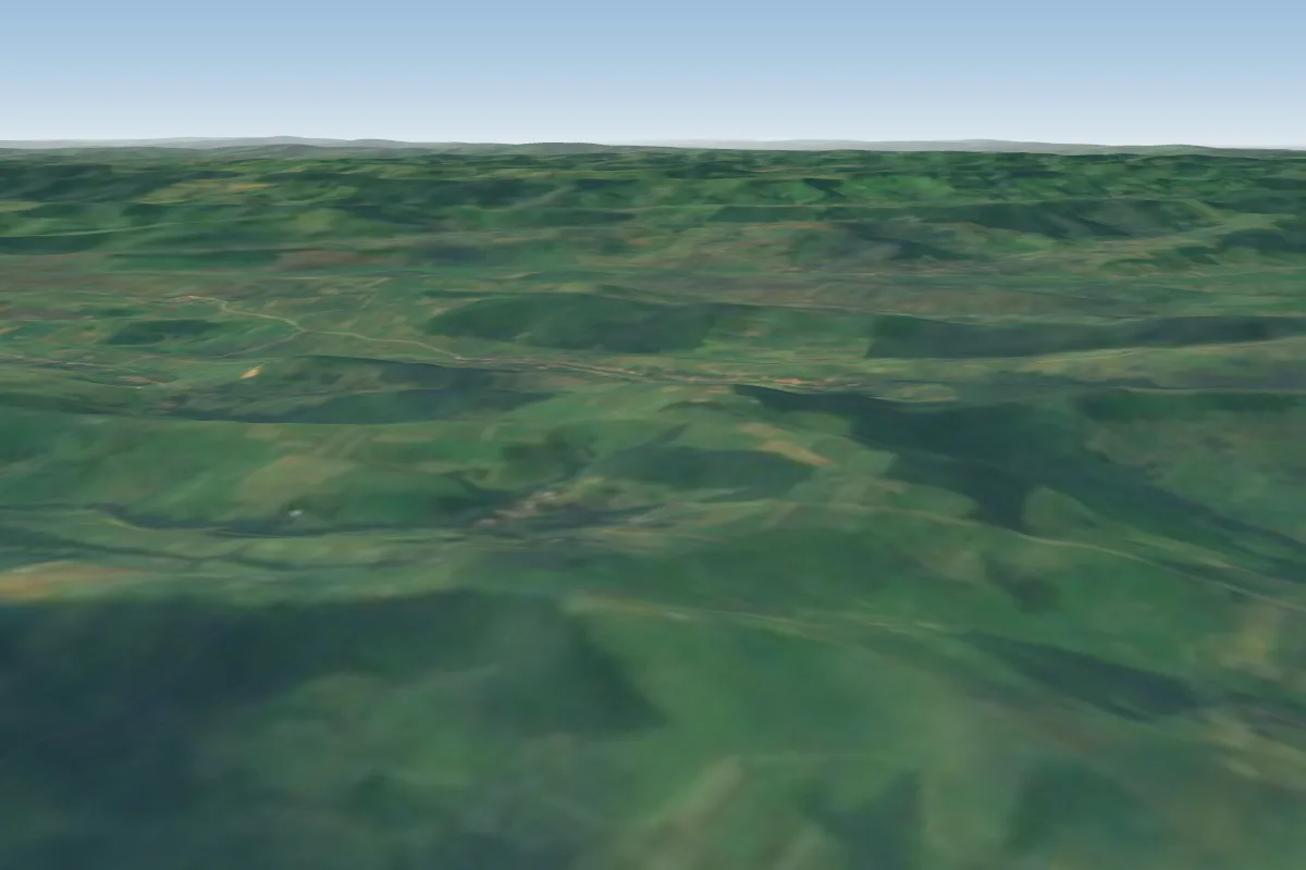 Brosteni4 km SE · Faces NE
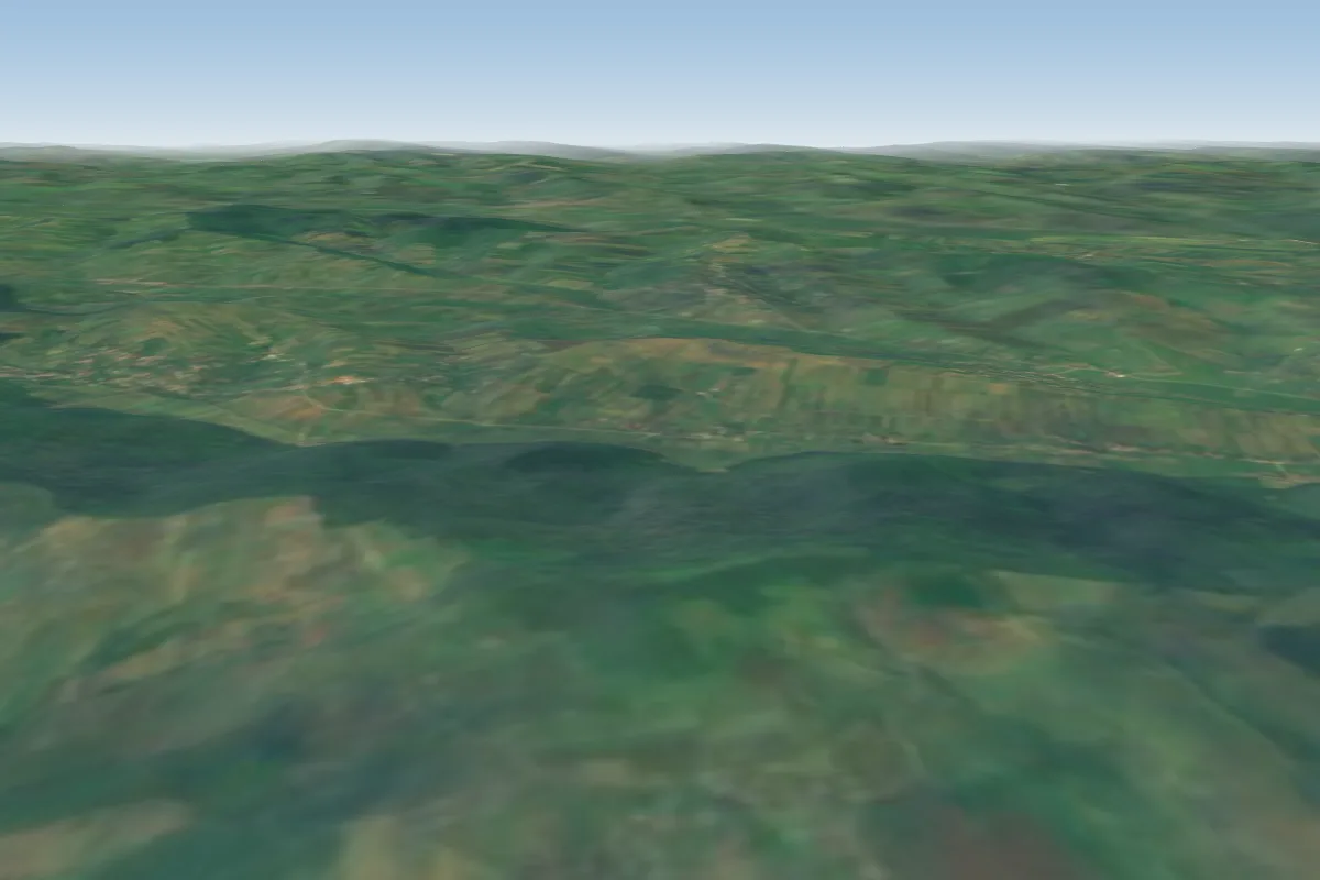 Cosca9 km NE · Faces S–SWWorks in other winds
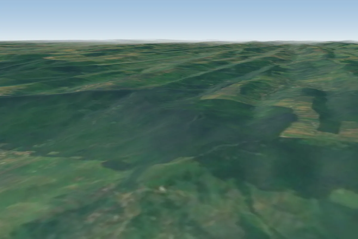 Poienesti9 km E · Faces NWWorks in other winds
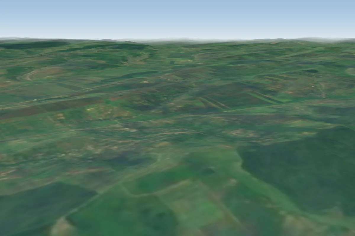 Zapodeni23 km NE
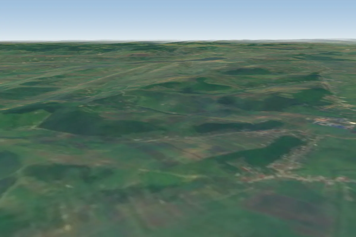 Gura Bustei25 km E · Faces W–NWWorks in other winds
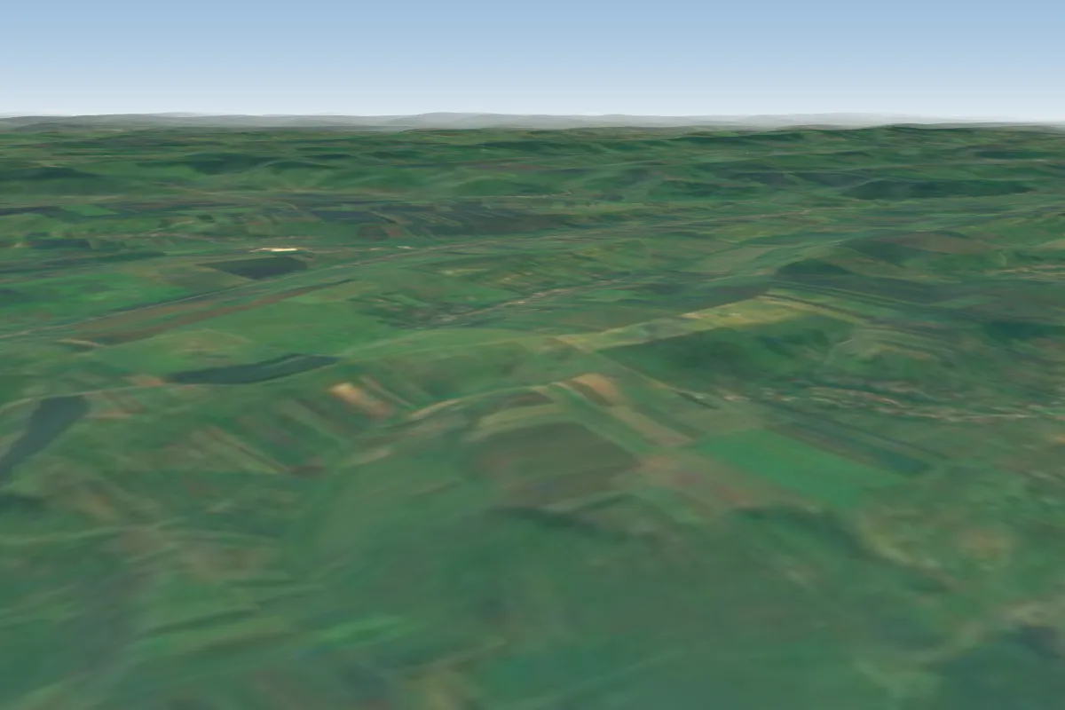 Frenciugi29 km N · Faces NWWorks in other winds
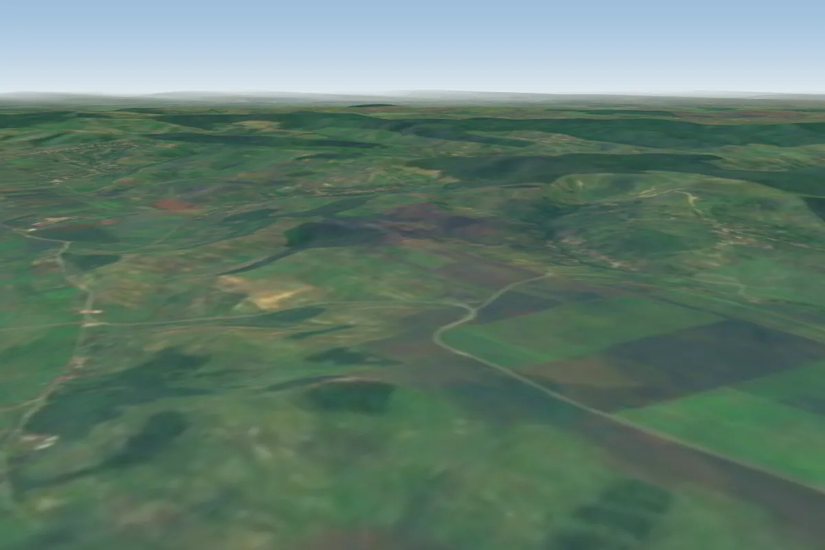 Movila lui Burcel38 km NE · Faces SWWorks in other winds
Pilot notes
No notes yet. Flown Ivanesti? Tell the next pilot what to expect.
Pilot notes on Ivanesti
Flying Ivanesti?
Takeoff, landing, rules, the hour by hour forecast and live wind are in the site details on the map.
Open site detailsSources
- ParaglidingEarth site record © ParaglidingEarth contributors (CC BY-SA)