Manastireni
NW to N facing site · 848 m takeoff
Overview
Manastireni is a flying site in Romania with a recorded launch elevation of 848 m. It works best in northerly and north-westerly winds, and can also work in westerly winds.
When to go
Flyable days per month in a typical year.
Flyable days for Manastireni are on the way. We are scoring ten years of weather for every site, month by month, against this site, its region and the sites around it.
Getting there
Nearest airports
- CLJ Avram Iancu Cluj International Airport47 km
- OMR Oradea International Airport92 km
- BAY Maramureș International Airport101 km
Where to stay
The nearest towns, for a bed, food and a lift to takeoff.
- Huedin9 km awayBooking.comAirbnb
- Cluj-Napoca40 km away · cityBooking.comAirbnb
- Zalău43 km away · cityBooking.comAirbnb
Flying nearby
See them on the map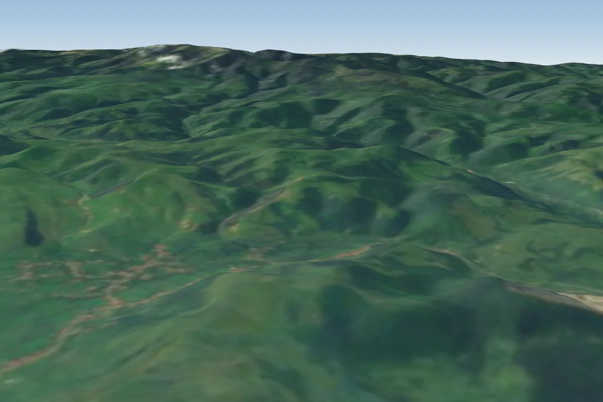 morlaca14 km NW · Faces NE–EWorks in other winds
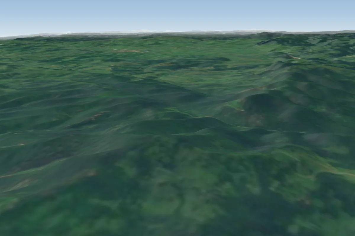 Pria27 km NW
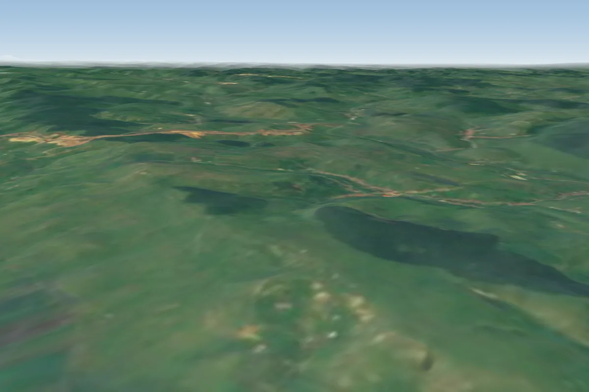 Floresti32 km E · Faces SE–SWWorks in other winds
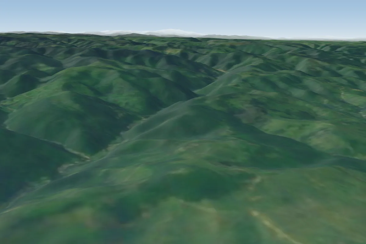 Liteni34 km SE · Faces E–SEPossible XC from here on a NW day, 34 km downwindWorks in other winds
 Salicea38 km E · Faces SW–NWWorks in other winds
 Stana de Vale39 km W · Faces SWorks in other winds
 Agriş42 km SE · Faces S–SWWorks in other winds
 Agris / Ciurila43 km SE · Faces NPossible XC from here on a NW day, 43 km downwind
Pilot notes
No notes yet. Flown Manastireni? Tell the next pilot what to expect.
Pilot notes on Manastireni
Flying Manastireni?
Takeoff, landing, rules, the hour by hour forecast and live wind are in the site details on the map.
Open site detailsSources
- ParaglidingEarth site record © ParaglidingEarth contributors (CC BY-SA)