Duck Hill
NW to N facing site · 1,783 m takeoff
Overview
Duck Hill is a flying site in United States with a recorded launch elevation of 1,783 m. It works best in northerly and north-westerly winds.
When to go
Flyable days per month in a typical year.
Flyable days for Duck Hill are on the way. We are scoring ten years of weather for every site, month by month, against this site, its region and the sites around it.
Local weather notes
- Looking for 10-15mph winds from the North. Source: ParaglidingEarth
Getting there
Nearest airports
- RNO Reno Tahoe International Airport31 km
- TKF Truckee Tahoe Airport33 km
- SMF Sacramento International Airport167 km
Things to do
For the days the wind is wrong: places worth a visit within 10 km of Duck Hill.
 Washoe Lake State ParkOutdoors · 0.8 km awayState park in Nevada, United States
 Lakeview HouseCulture · 2.8 km awayHistoric house in Nevada, United States
 Washoe Valley (Nevada)Outdoors · 5.5 km awayValley in Nevada, USA
 David Smaill HouseCulture · 6 km awayHistoric house in Nevada, United States
 Foreman–Roberts HouseCulture · 6 km awayHistoric house in Nevada, United States
 Adams House (Carson City, Nevada)Culture · 6.2 km awayHistoric house in Nevada, United States
 Belknap HouseCulture · 6.3 km awayHistoric house in Nevada, United States
 Nevada Governor's MansionCulture · 6.4 km awayHistoric house in Nevada, United States
Flying nearby
See them on the map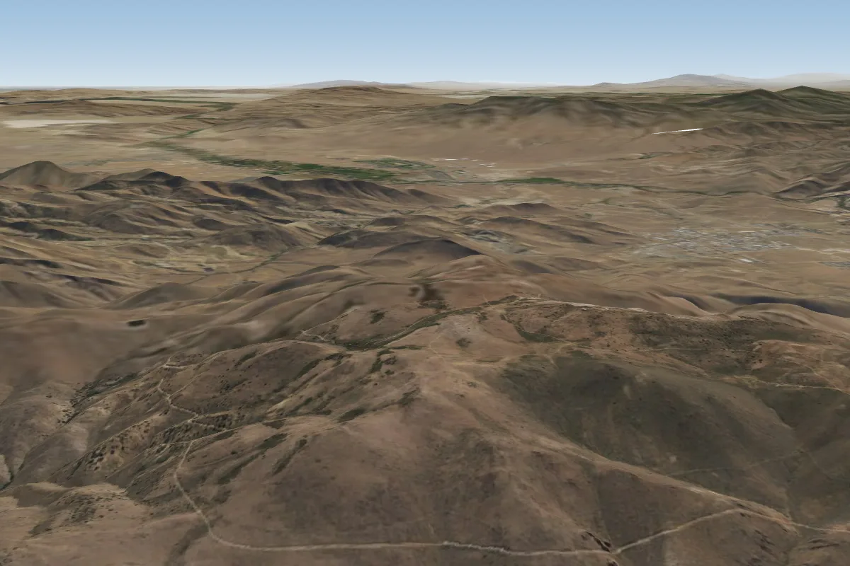 McClellan (Reno)7 km NE · Faces WWorks in other winds
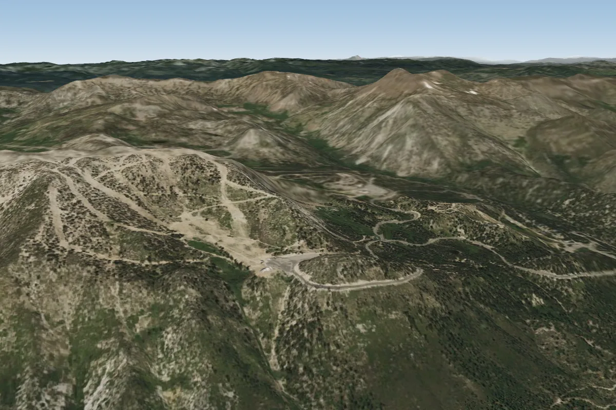 Slide13 km NW · Faces E–SEWorks in other winds
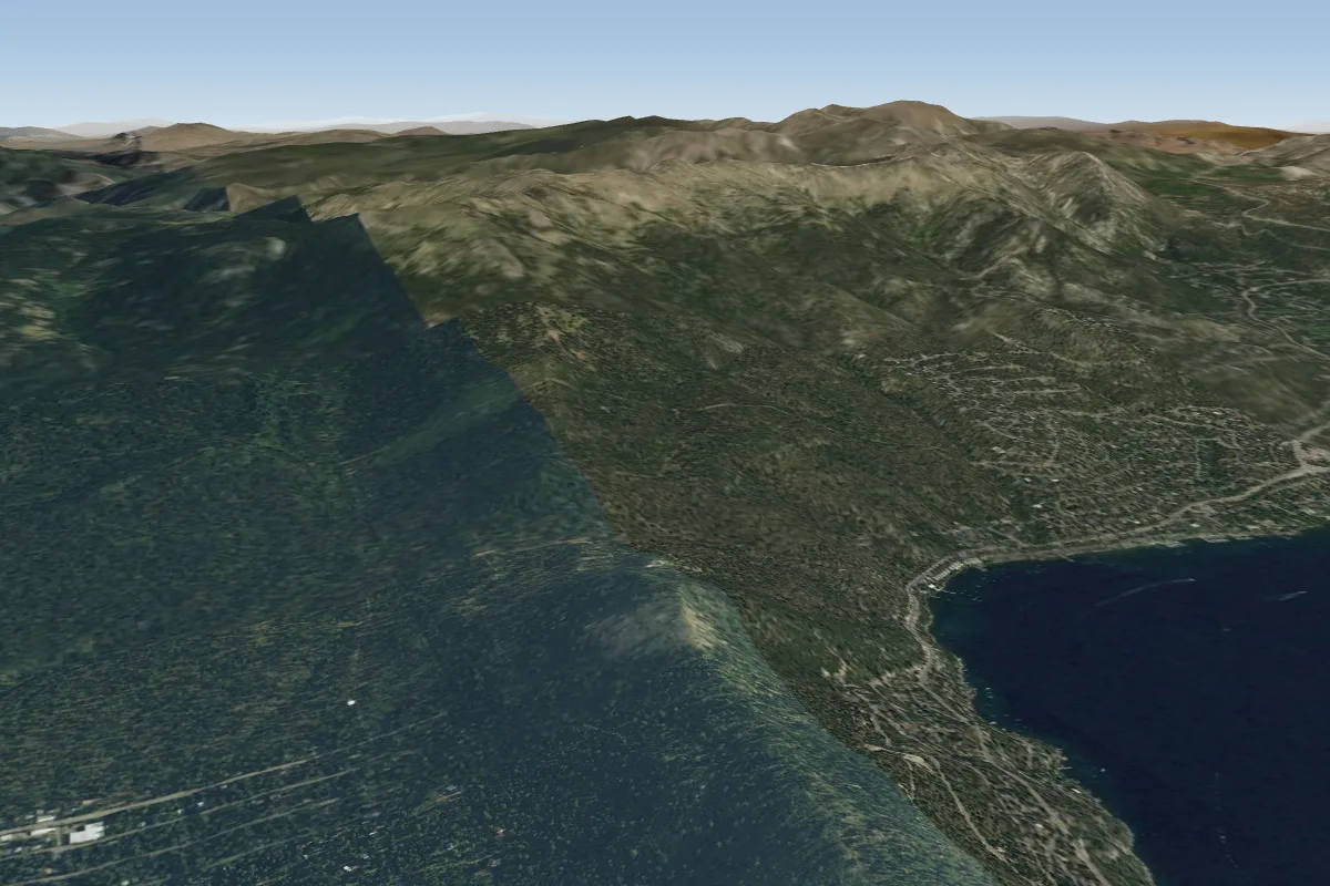 Day Dreams20 km W · Faces SW–WWorks in other winds
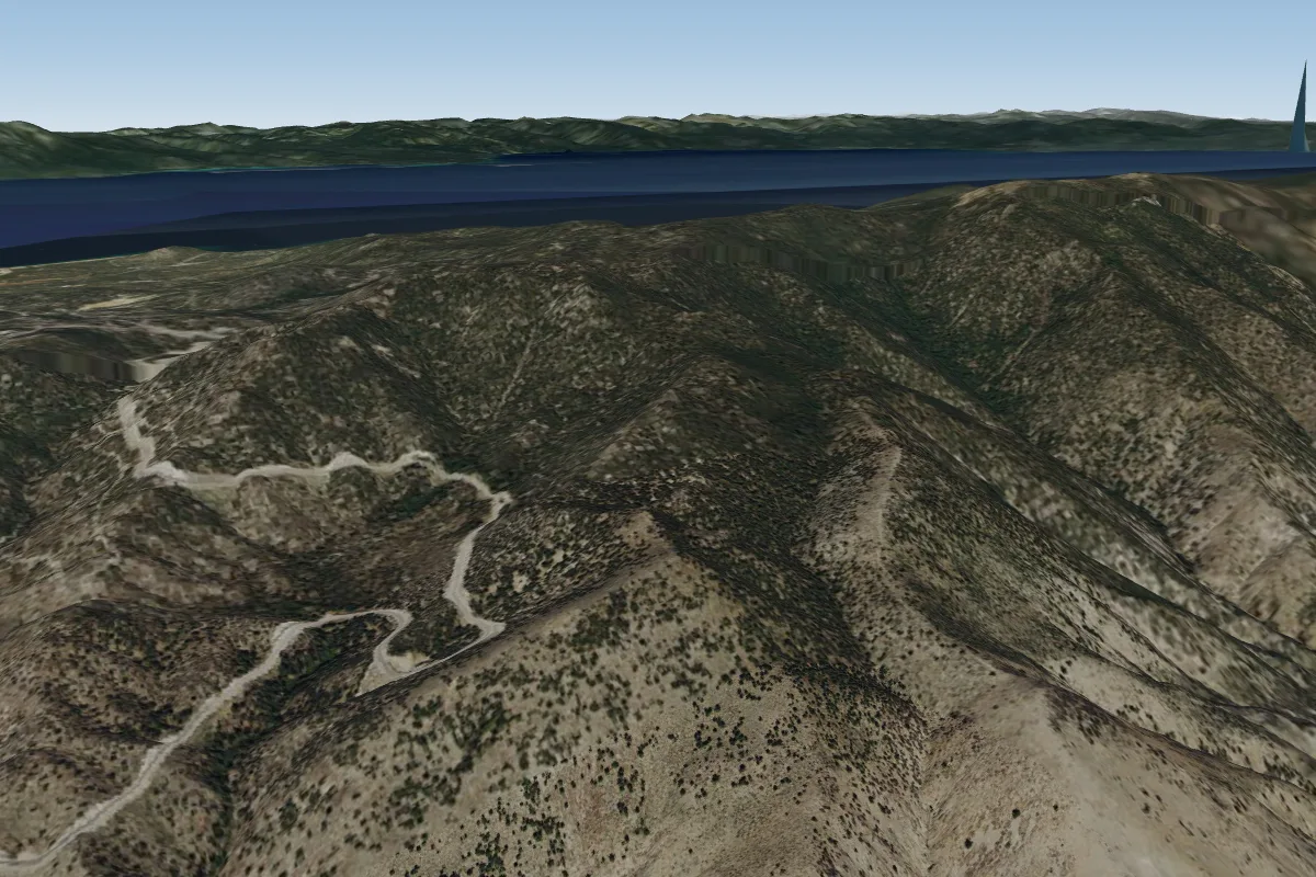 Kingsbury grade28 km S · Faces SEPossible XC from here on a N day, 28 km downwindWorks in other winds
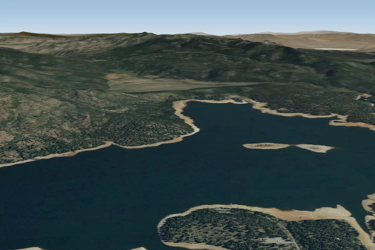 ParaglideTours41 km NW · Faces all directionsWorks in other winds
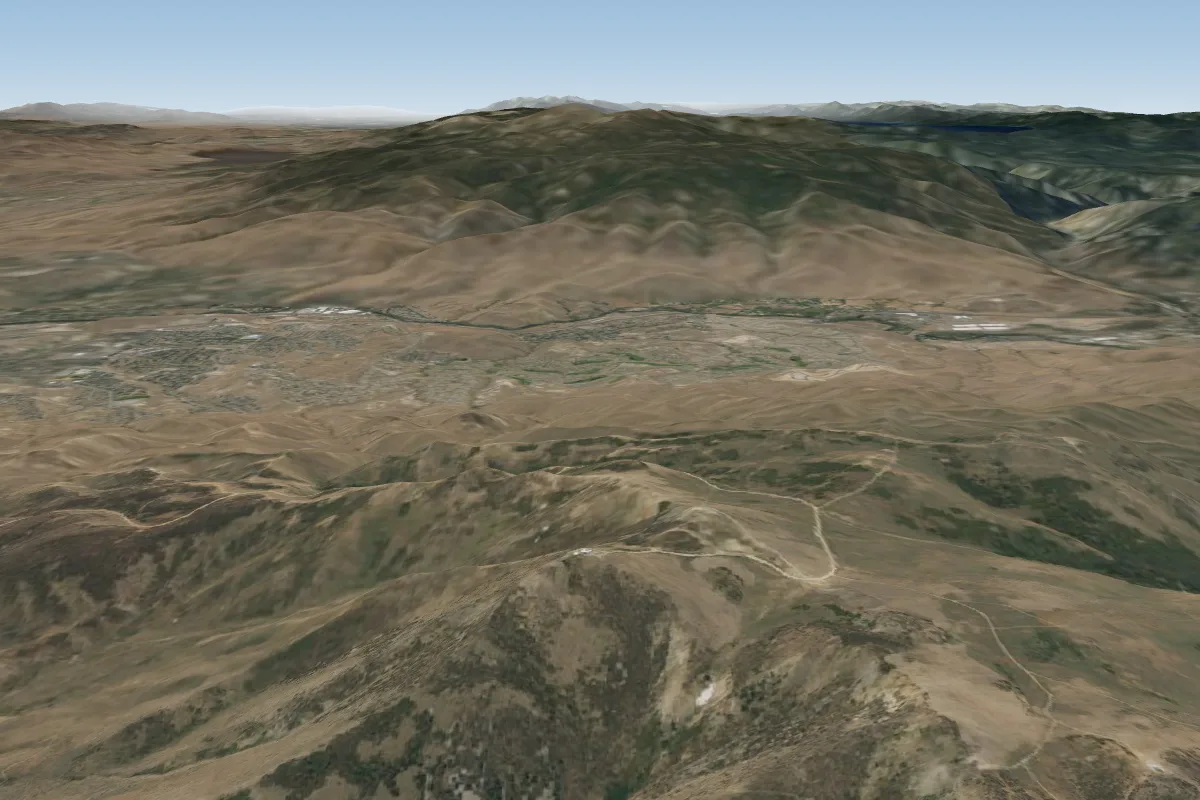 Peavine Peak43 km N
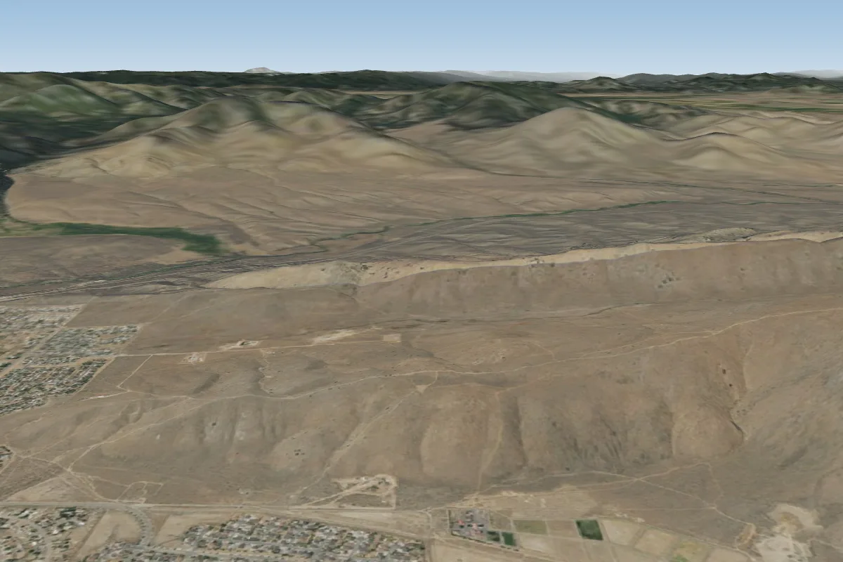 Rainbow Ridge55 km N · Faces E–SEWorks in other winds
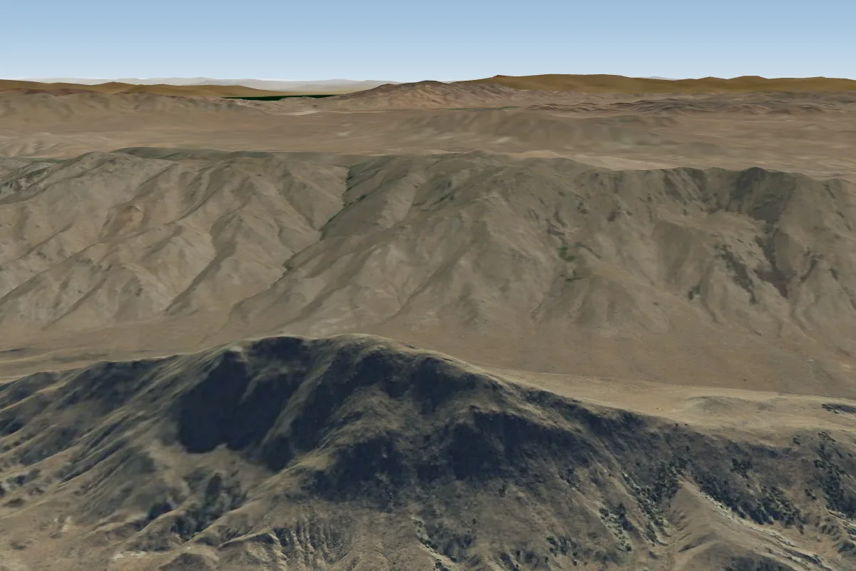 Hallelujah Junction64 km N · Faces SW–NWWorks in other winds
Pilot notes
No notes yet. Flown Duck Hill? Tell the next pilot what to expect.
Pilot notes on Duck Hill
Flying Duck Hill?
Takeoff, landing, rules, the hour by hour forecast and live wind are in the site details on the map.
Open site detailsSources
- ParaglidingEarth site record © ParaglidingEarth contributors (CC BY-SA)